2020s Maps of Apache County, Arizona
Explore 235 historic maps of Apache County from the 2020s. These maps offer a rare glimpse into what life looked like during the 2020s — showing old roads, neighborhoods, homes, and landmarks that have changed or disappeared over time.
Whether you're researching your family's past, planning a metal detecting trip, or studying how Apache County's landscape evolved across the 2020s, these high-resolution maps are a powerful tool for exploring the history of this region.
- Focus on a specific era: All maps on this page are from the 2020s, giving you a focused view of this time period.
- See what’s changed: Compare century-old streets, trails, and buildings to today's modern landscape using overlays and satellite layers.
- Research with precision: Use these maps for genealogy, historical research, land use analysis, or educational projects.
- View, download, or print: Maps are fully viewable online in high resolution, and can be downloaded or printed for your own records.
Start exploring Apache County's history through authentic maps from the 2020s. This is your window into the past.
Apache County, AZ maps
(235)- 2020 Map of Surrender Canyon, 2020 Print
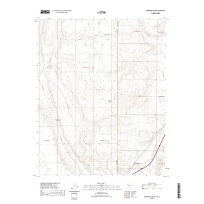 2020 Surrender Canyon2020 Print · USGSThe Arizona and New Mexico borderland at the edge of the Fort Defiance Agency is captured here in the contemporary era. Researchers can trace landforms like Tea Pot and Surrender Canyon alongside modern routes like Indian Rte 12.
 - 2020 Map of Beclabito, 2020 Print
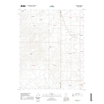 2020 Beclabito2020 Print · USGSThe high desert borderlands of Arizona and New Mexico come into focus in this recent survey. Researchers can trace the drainage of Beclabito Wash near the settlement of Beclabito or locate isolated water sources like Black Rock Canyon Spring and Twin Falls.
 - 2021 Map of Sponseller Mountain, 2021 Print
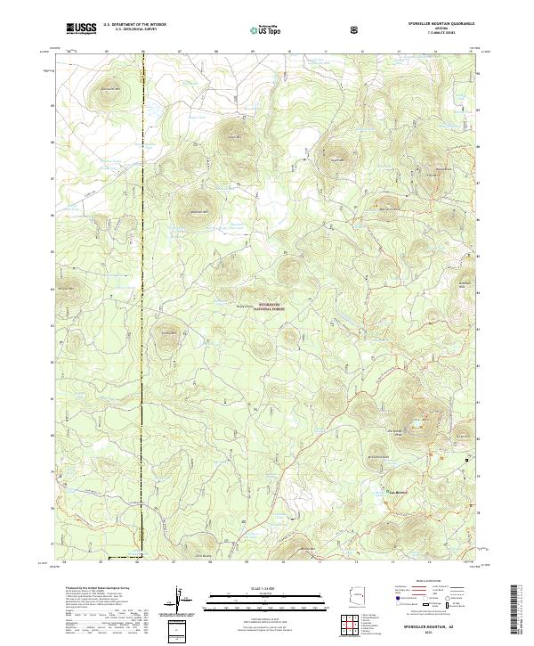 2021 Sponseller Mountain2021 Print · USGSSitgreaves National Forest in eastern Arizona is shown here as a high-altitude network of peaks and vital water sources in the 2020s. Trace old forest routes and recreational paths like the Land Of The Pioneers Trl between Los Burros and Sponseller Mtn.
 - 2021 Map of Tolani, 2021 Print
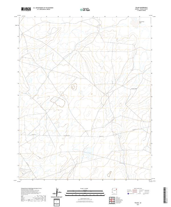 2021 Tolani2021 Print · USGSThe high-plateau landscape of Apache County is captured here in the early twenty-first century, centered on the community of Tolani. Researchers can trace the modern road network along Indian Rte 26 and locate features like Pine Springs Wash.
 - 2021 Map of Valle Bonito NE, 2021 Print
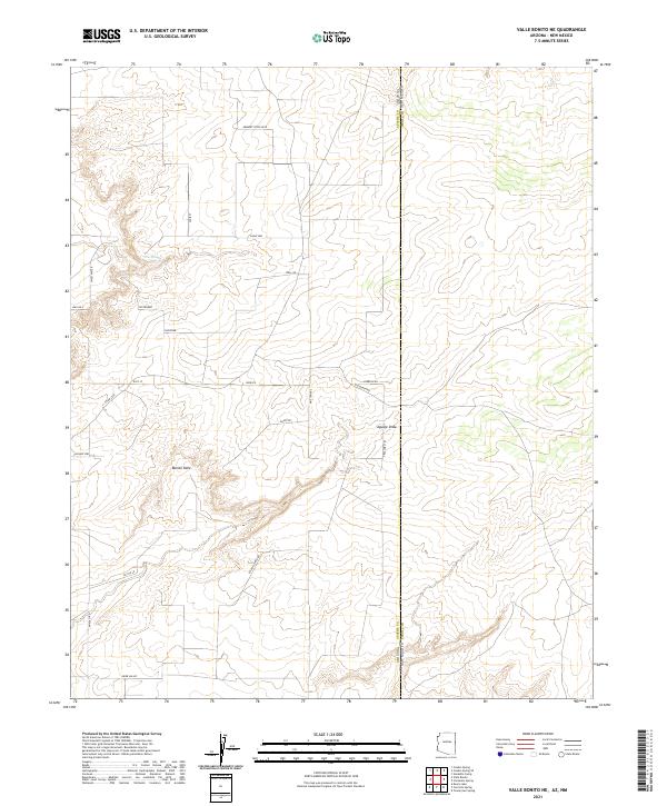 2021 Valle Bonito NE2021 Print · USGSThe Arizona and New Mexico borderlands come alive in this recent survey of the high plateau country. Researchers can trace remote property access via Old Ranch Rd and Tractors Trl, or locate landmarks like Bonito Valle and Pine Springs.
 - 2021 Map of Navajo North, 2021 Print
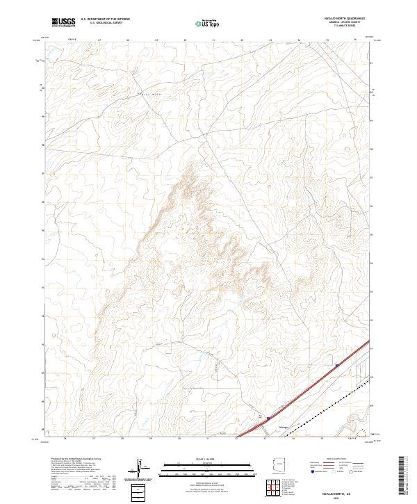 2021 Navajo North2021 Print · USGSApache County high desert comes into focus in this recent survey of the lands around Navajo. Map collectors and local researchers can trace the drainages of Crazy Cr and Dead Wash or locate rural infrastructure along Kerr Mcgee Rd.
 - 2021 Map of Hunters Point, 2021 Print
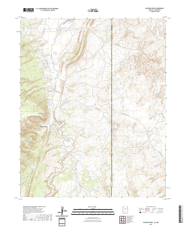 2021 Hunters Point2021 Print · USGSThe high desert borderlands between Arizona and New Mexico are captured here in the early twenty-first century. Researchers can trace land use and water sources around Hunters Point, from the Hunters Point Spring to the expanse of the Black Creek Valley.
 - 2021 Map of Whiting Knoll, 2021 Print
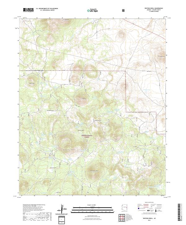 2021 Whiting Knoll2021 Print · USGSThe Apache National Forest landscape comes into focus during the early twenty-first century, showing a high-country terrain defined by its water sources. Researchers can trace historic forest routes and locate secluded water sites like Sawmill Spring, Potato Patch, and Atasacita Springs.
 - 2021 Map of Coyote Hills, 2021 Print
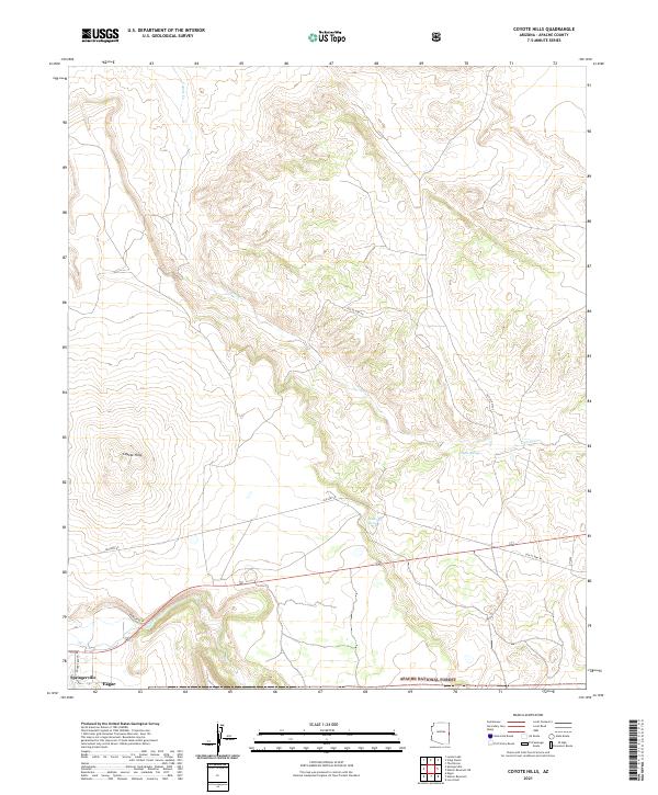 2021 Coyote Hills2021 Print · USGSNear the Arizona-New Mexico border in the early twenty-first century, the communities of Springerville and Eagar sit at the foot of the Coyote Hills. Researchers can trace old road alignments like Old US Hwy 60 and the courses of Coyote Creek and Nutrioso Creek.
 - 2021 Map of Springerville NW, 2021 Print
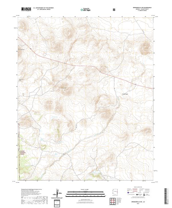 2021 Springerville NW2021 Print · USGSNortheastern Arizona's volcanic high country is captured here in the early twenty-first century, showing the rugged land within the Apache National Forest. Researchers can locate historic water sources and landmarks including Schuster Spring, Cheney Lake, and the volcanic peak of Cerro Quemado.
 - 2021 Map of Stinking Springs Mountain, 2021 Print
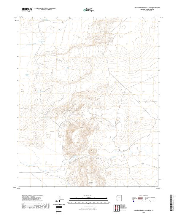 2021 Stinking Springs Mountain2021 Print · USGSApache County's high-desert ranching landscape is captured here in the early 2020s, showing the critical water networks of the open range. Researchers can trace the path of the Zuñi River and locate historic landmarks like Stinking Springs Mtn and Surprise Valley.
 - 2021 Map of Pinta, 2021 Print
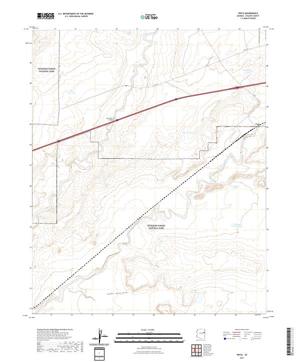 2021 Pinta2021 Print · USGSThe high desert of Apache County comes into focus in 2021, centered on the Pinta settlement. Researchers can trace the Puerco River and find isolated water features like Last Chance Tank and the Dead River Bridge.
 - 2021 Map of West of Window Rock, 2021 Print
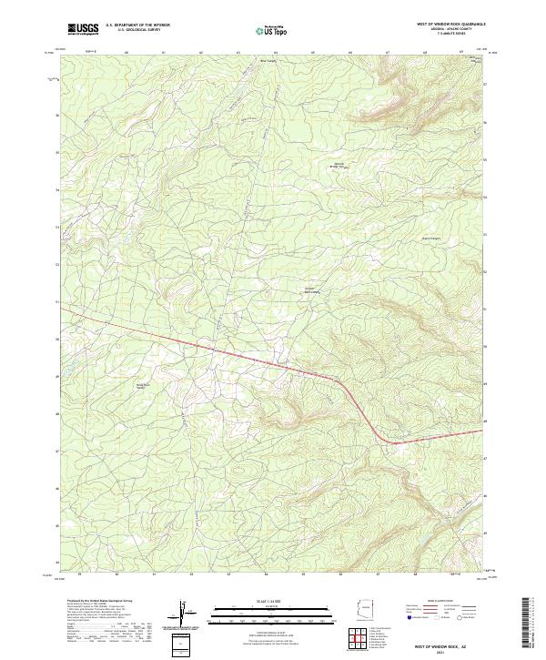 2021 West of Window Rock2021 Print · USGSThe Navajo Nation's high desert plateau and canyon systems are documented here in recent years. Researchers can trace the rugged drainage patterns of Kinlichee Cr or locate specific landmarks like Natural Bridge Canyon and the Defiance Plateau.
 - 2021 Map of Ceadro Spring, 2021 Print
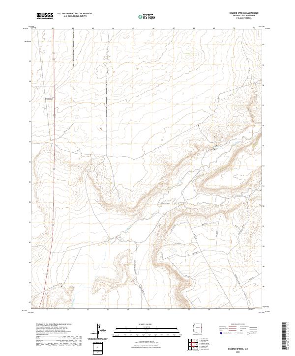 2021 Ceadro Spring2021 Print · USGSApache County's high-desert landscape comes into focus during this 2021 survey, capturing the intersection of natural watercourses and modern rural development. Researchers can trace the path of the Zuni River or locate local landmarks like Ceadro Spring and Sierra Highlands Rd.
 - 2021 Map of Toyei School, 2021 Print
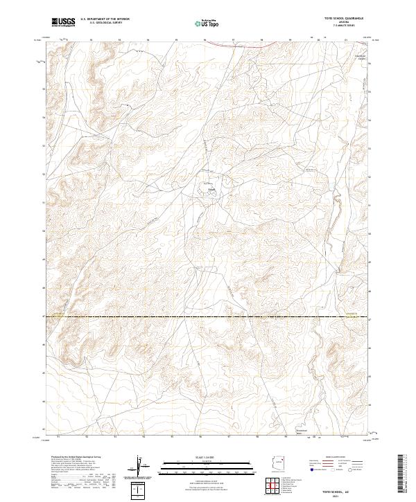 2021 Toyei School2021 Print · USGSThe Navajo Nation high country is documented here in the early 2020s, showing the intersection of vital local roads and desert landforms. Genealogists and researchers can trace the vicinity of Toyei School and the pathways along Steamboat Wash.
 - 2021 Map of Mesa Parada, 2021 Print
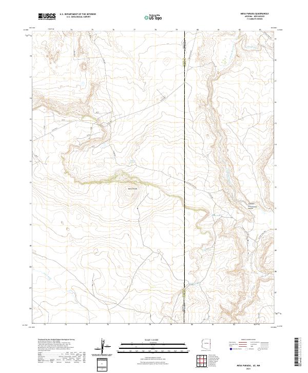 2021 Mesa Parada2021 Print · USGSThis borderland survey captures the arid landscape of Apache County and Catron County at the start of the 2020s. Researchers can trace remote water sources and cattle infrastructure like Gallegos Springs, White Tank, and the prominent Mesa Parada.
 - 2021 Map of North Mill Well, 2021 Print
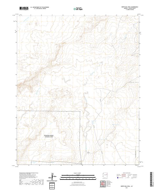 2021 North Mill Well2021 Print · USGSArid grazing lands and protected desert wilderness in Apache County are captured here in the early twenty-first century. Researchers can locate ranching infrastructure and water points like North Mill Well, Mark One Tank, and the rugged border of Petrified Forest National Park.
 - 2021 Map of Concho, 2021 Print
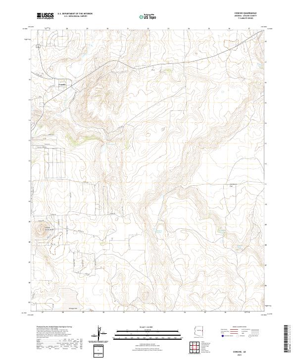 2021 Concho2021 Print · USGSConcho and the surrounding Apache County high desert are captured here in a period of modern rural development. Researchers can trace local water sources like Ortega Spring and residential landmarks such as Concho Spring Knoll.
 - 2021 Map of High Lonesome Well, 2021 Print
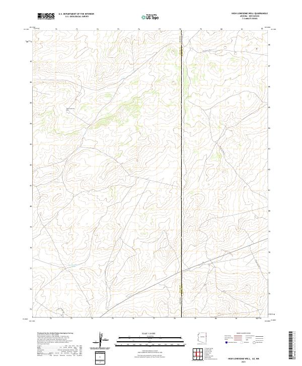 2021 High Lonesome Well2021 Print · USGSIn the arid borderlands of Apache County during the 2020s, the landscape is shaped by cattle ranching and essential water sources. Genealogists and land researchers can trace the remote network of range roads surrounding High Lonesome Well, marking a vital point in this high-desert terrain.
 - 2021 Map of Wide Ruins SW, 2021 Print
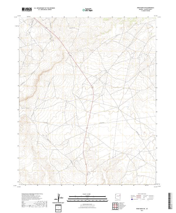 2021 Wide Ruins SW2021 Print · USGSThe high plateau of northeast Arizona is mapped here in the early 2020s, showing the essential road networks across the tribal lands. Researchers can trace the paths of Indian Rte 9409, Burntwater Rd, and the elevated terrain of Padres Mesa.
 - 2021 Map of Big Willow Spring Canyon, 2021 Print
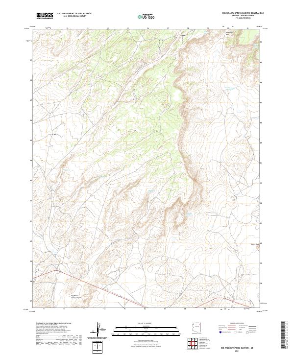 2021 Big Willow Spring Canyon2021 Print · USGSApache County's high desert landscape is recorded here in the early twenty-first century, centered on the drainage of Big Willow Spring Canyon. Genealogists and researchers can trace the roads connecting the settlement of White Rock to vital desert water sources like Looking for Water Spring and Toh Del Toshi Spring.
 - 2021 Map of Navajo South, 2021 Print
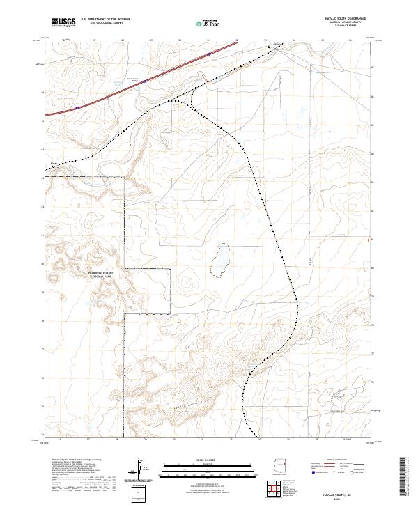 2021 Navajo South2021 Print · USGSSettlement along the Puerco River is captured in this recent survey of eastern Arizona just outside the national park. Researchers can locate family landmarks like Navajo Cem or trace the drainage of Saddle Horse Draw and Crazy Cr.
 - 2021 Map of Seven Springs, 2021 Print
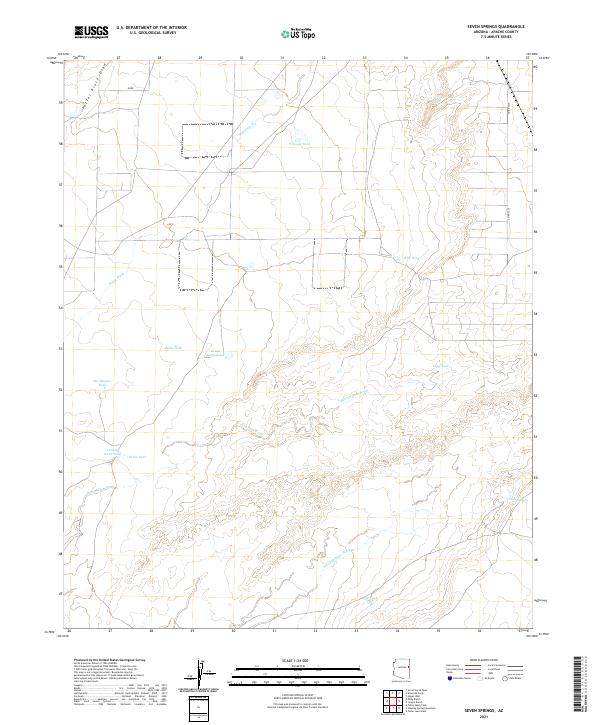 2021 Seven Springs2021 Print · USGSApache County ranching lands and desert washes come into focus in the early twenty-first century. Genealogists and local historians can trace named water features like Reuell Jarvis Tank, Pat Hughes Tank, and the namesake Seven Springs.
 - 2021 Map of Kinlichee, 2021 Print
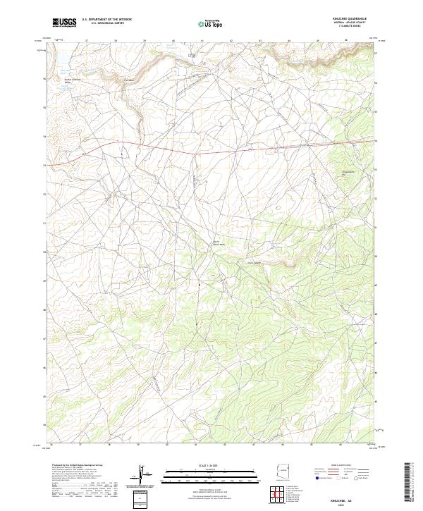 2021 Kinlichee2021 Print · USGSKinlichee and the high desert of Apache County are captured here in the early twenty-first century as a landscape of seasonal washes and tribal routes. Genealogists and local historians can trace family-named landmarks and essential roads like Standing Chimney Rd, Fish Wash, and Cross Canyon.
 - 2021 Map of Klagetoh South, 2021 Print
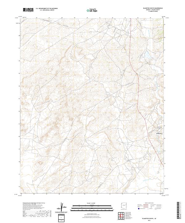 2021 Klagetoh South2021 Print · USGSThe high plateau of Apache County comes into focus in the early 2020s, centered on the community of Wide Ruins. Genealogists and researchers can trace local routes like Klagetoh Loop and identify water sources such as Pigeon Spring and Wide Ruin Wash.
Showing maps 1-25 of 235
Top cities of Apache County
- Eagar historical maps
- St. Johns historical maps
- Springerville historical maps
- Dennehotso historical maps
- Alpine historical maps
Frequently asked questions
- What are the different types of historical maps available for Apache County?
- What is the oldest map of Apache County?
- Where can I purchase historical maps of Apache County for my home or office?
- Where can I download high-res historical maps of Apache County?
- Are there historical topographic maps available for Apache County?
- Is there historical aerial imagery available for Apache County?
- Where are historical maps of Apache County sourced from?