2000s (21st Century) Maps of Apache County, Arizona
Explore 901 historic maps of Apache County from the 2000s (21st Century). These maps offer a rare glimpse into what life looked like during the 2000s — showing old roads, neighborhoods, homes, and landmarks that have changed or disappeared over time.
Whether you're researching your family's past, planning a metal detecting trip, or studying how Apache County's landscape evolved across the 2000s, these high-resolution maps are a powerful tool for exploring the history of this region.
- Focus on a specific era: All maps on this page are from the 2000s, giving you a focused view of this time period.
- See what’s changed: Compare century-old streets, trails, and buildings to today's modern landscape using overlays and satellite layers.
- Research with precision: Use these maps for genealogy, historical research, land use analysis, or educational projects.
- View, download, or print: Maps are fully viewable online in high resolution, and can be downloaded or printed for your own records.
Start exploring Apache County's history through authentic maps from the 2000s. This is your window into the past.
Apache County, AZ maps
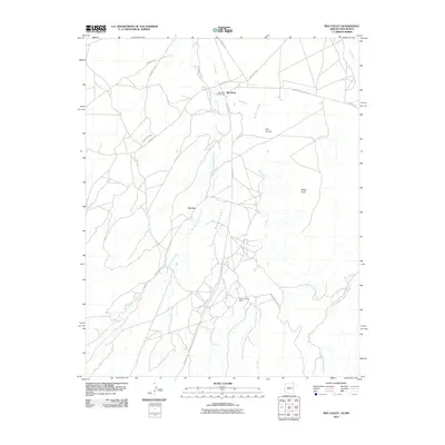
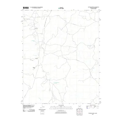
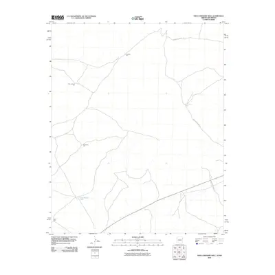
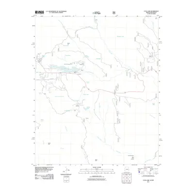
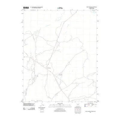
(901)- 2005 Map of Luna Lake, 2006 Print
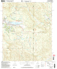 2005 Luna Lake2006 Print · USGSThe high-country ranching and recreation landscape around Alpine is captured here during the mid-2000s. Researchers can locate the local Cem, trace the San Francisco River headwaters, and identify features like Double J Ranch and Tenney Pond along the New Mexico border.
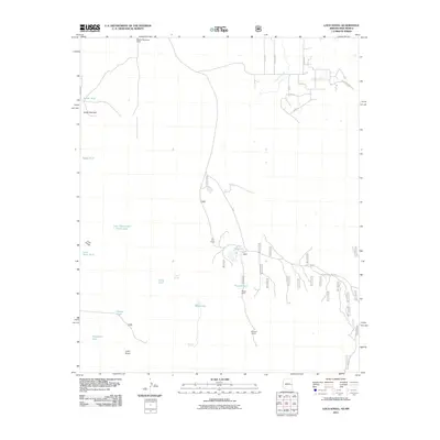
 - 2005 Map of Loco Knoll, 2006 Print
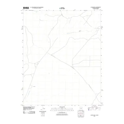
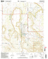 2005 Loco Knoll2006 Print · USGSThe high timberland along the Arizona-New Mexico state line was a landscape of remote ranching and forest management in the mid-2000s. Researchers can trace the water-dependent economy of this region through features like the H-V Ranch, Loco Knoll Well, and the Cinder Pit.
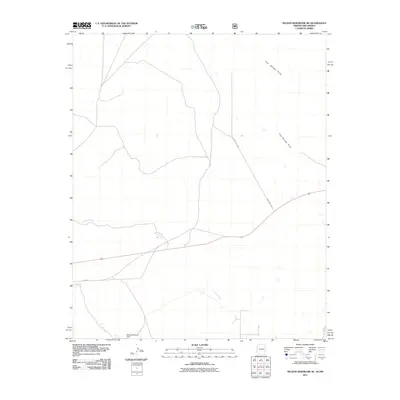
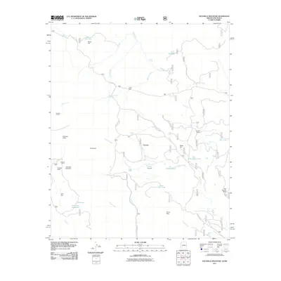
 - 2005 Map of Escudilla Mountain, 2006 Print
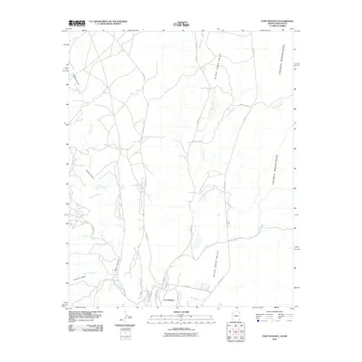
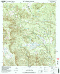 2005 Escudilla Mountain2006 Print · USGSThe high-country border between Arizona and New Mexico is captured here in the mid-2000s, showing a land of forest management and wilderness preservation. Map researchers can locate the Escudilla Lookout and trace water sources like Lake Erin and McFate Spring.
 - 2010 Map of Sonsela Buttes, 2010 Print
 2010 Sonsela Buttes2010 Print · USGSCovers Apache County, including Fort Defiance Agency, Milkwater, and other nearby areas
 - 2010 Map of Red Valley, 2010 Print
 2010 Red Valley2010 Print · USGSCovers Apache County, including Shiprock Agency, Red Rock, and other nearby areas
 - 2010 Map of Tsaile Butte, 2010 Print
 2010 Tsaile Butte2010 Print · USGSCovers Apache County, including Shiprock Agency, Chinle Agency, and other nearby areas
 - 2010 Map of Beclabito, 2010 Print
 2010 Beclabito2010 Print · USGSCovers Apache County, including Shiprock Agency, Beclabito, and other nearby areas
 - 2010 Map of Roof Butte, 2010 Print
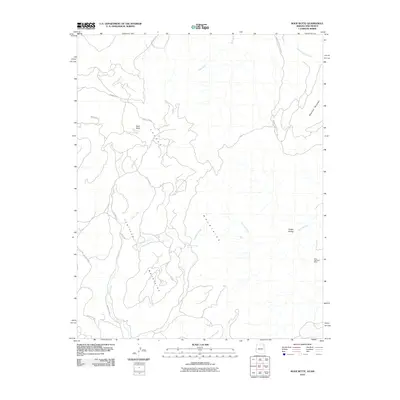 2010 Roof Butte2010 Print · USGSCovers Apache County, including Shiprock Agency, Chinle Agency, and other nearby areas
 - 2010 Map of Horse Mesa, 2010 Print
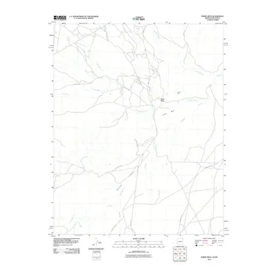 2010 Horse Mesa2010 Print · USGSCovers Apache County, including Shiprock Agency, Horse Mesa, and other nearby areas
 - 2010 Map of Upper Wheatfields, 2010 Print
 2010 Upper Wheatfields2010 Print · USGSCovers Apache County, including Shiprock Agency, Chinle Agency, and other nearby areas
 - 2010 Map of Chafin Well, 2010 Print
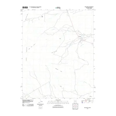
 2010 Chafin Well2010 Print · USGSCovers Apache County, including Fort Defiance Agency, Eastern Navajo Agency, and other nearby areas
 - 2010 Map of Fort Defiance, 2010 Print
 2010 Fort Defiance2010 Print · USGSCovers Apache County, including Fort Defiance Agency, McKinley County, and other nearby areas
 - 2010 Map of Hunters Point, 2010 Print
 2010 Hunters Point2010 Print · USGSCovers Apache County, including Fort Defiance Agency, Eastern Navajo Agency, and other nearby areas
 - 2010 Map of Surrender Canyon, 2010 Print
 2010 Surrender Canyon2010 Print · USGSCovers Apache County, including Fort Defiance Agency, Eastern Navajo Agency, and other nearby areas
 - 2010 Map of Window Rock, 2010 Print
 2010 Window Rock2010 Print · USGSCovers Apache County, including Fort Defiance, Fort Defiance Agency, and other nearby areas
 - 2010 Map of Lupton, 2010 Print
 2010 Lupton2010 Print · USGSCovers Apache County, including Fort Defiance Agency, Eastern Navajo Agency, and other nearby areas
 - 2010 Map of High Lonesome Well, 2010 Print
 2010 High Lonesome Well2010 Print · USGSCovers Apache County, including Fort Defiance Agency, McKinley County, and other nearby areas
 - 2011 Map of Loco Knoll, 2011 Print
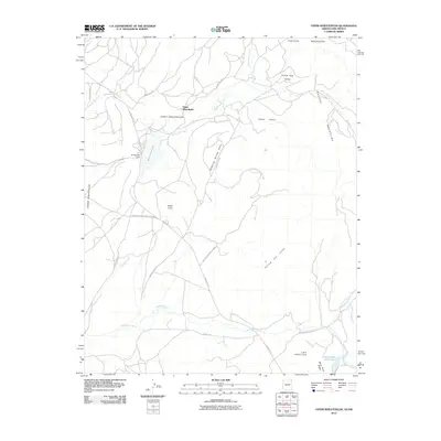
 2011 Loco Knoll2011 Print · USGSCovers Apache County, including Catron County, United States, and other nearby areas
 - 2011 Map of Nelson Reservoir NE, 2011 Print
 2011 Nelson Reservoir NE2011 Print · USGSCovers Apache County, including Catron County, United States, and other nearby areas
 - 2011 Map of Escudilla Mountain, 2011 Print
 2011 Escudilla Mountain2011 Print · USGSCovers Apache County, including Troweek, Catron County, and other nearby areas
 - 2011 Map of Luna Lake, 2011 Print
 2011 Luna Lake2011 Print · USGSCovers Apache County, including Greenlee County, Catron County, and other nearby areas
 - 2011 Map of Cow Butte, 2011 Print
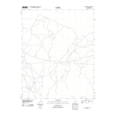 2011 Cow Butte2011 Print · USGSCovers Apache County, including Shiprock Agency, San Juan County, and other nearby areas2 unique versions available
 - 2011 Map of Rooster Rock, 2011 Print
 2011 Rooster Rock2011 Print · USGSCovers Apache County, including San Juan County, United States, and other nearby areas2 unique versions available
 - 2011 Map of Garnet Ridge, 2011 Print
 2011 Garnet Ridge2011 Print · USGSCovers Apache County, including San Juan County, United States, and other nearby areas2 unique versions available
 - 2011 Map of Teec Nos Pos, 2011 Print
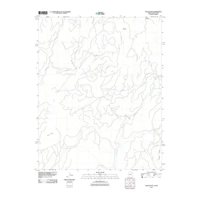
 2011 Teec Nos Pos2011 Print · USGSCovers Apache County, including Shiprock Agency, Teec Nos Pos, and other nearby areas2 unique versions available
Showing maps 1-25 of 901
Top cities of Apache County
- Eagar historical maps
- St. Johns historical maps
- Springerville historical maps
- Dennehotso historical maps
- Alpine historical maps
Frequently asked questions
- What are the different types of historical maps available for Apache County?
- What is the oldest map of Apache County?
- Where can I purchase historical maps of Apache County for my home or office?
- Where can I download high-res historical maps of Apache County?
- Are there historical topographic maps available for Apache County?
- Is there historical aerial imagery available for Apache County?
- Where are historical maps of Apache County sourced from?