Old Maps of Apache County, Arizona
Explore 398 old maps of Apache County, spanning from 1883 to today. These high-resolution historic maps reveal how streets, neighborhoods, landmarks, and natural features evolved over time — perfect for genealogy, metal detecting, research, and local history exploration.
What you can do with these maps:
- See how Apache County changed over time: Compare historical maps to modern-day views to trace roads, homesites, rail lines & more.
- View detailed metadata: Each map includes creators, publishers, year, scale, and archive source.
- Overlay maps with satellite & LiDAR: Visualize the past alongside modern tools to explore terrain & human change.
- Trusted historical sources: Maps sourced from the USGS, Library of Congress, and other archives.
- Access maps your way: View online, download high-res files, or order prints for personal or research use.
Start exploring old maps of Apache County to uncover forgotten places, hidden landmarks, and the deep history beneath your feet.
Apache County, AZ maps
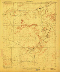
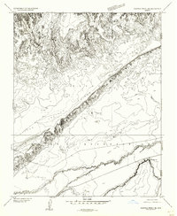
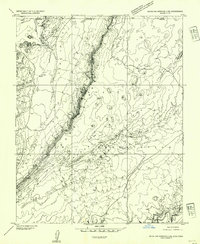
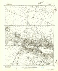
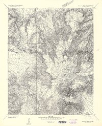
(398)- 1883 Map of Marsh Pass
 1883 Marsh Pass1883 Print · USGSCovers Apache County, including Kayenta, Chinle Agency, and other nearby areas
 - 1883 Map of Tusayan, 1896 Print
 1883 Tusayan1896 Print · USGSCovers Apache County, including Winslow, Chinle Agency, and other nearby areas
 - 1886 Map of St Johns
 1886 St Johns1886 Print · USGSCovers Apache County, including Show Low, Pinetop-Lakeside, and other nearby areas
 - 1886 Map of Tusayan
 1886 Tusayan1886 Print · USGSCovers Apache County, including Winslow, Chinle Agency, and other nearby areas5 unique versions available
 - 1886 Map of Fort Defiance
 1886 Fort Defiance1886 Print · USGSCovers Apache County, including Chinle Agency, Fort Defiance Agency, and other nearby areas
 - 1892 Map of Fort Defiance
 1892 Fort Defiance1892 Print · USGSCovers Apache County, including Chinle Agency, Fort Defiance Agency, and other nearby areas6 unique versions available
 - 1892 Map of Marsh Pass
 1892 Marsh Pass1892 Print · USGSCovers Apache County, including Kayenta, Chinle Agency, and other nearby areas4 unique versions available
 - 1892 Map of St Johns
 1892 St Johns1892 Print · USGSCovers Apache County, including Show Low, Pinetop-Lakeside, and other nearby areas5 unique versions available
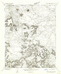
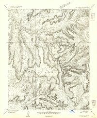
 - 1892 Map of Canyon De Chelly
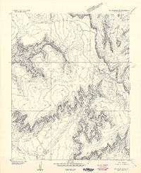
 1892 Canyon De Chelly1892 Print · USGSCovers Apache County, including Shiprock Agency, Chinle Agency, and other nearby areas5 unique versions available
 - 1912 Map of Petrified Forest
 1912 Petrified Forest1912 Print · USGSCovers Apache County, including Adamana, Goodwater, and other nearby areas2 unique versions available
 - 1922 Map of Nutrioso
 1922 Nutrioso1922 Print · USGSCovers Apache County, including Alpine, Cleaveland, and other nearby areas
 - 1947 Map of Flagstaff, 1948 Print
 1947 Flagstaff1948 Print · USGSCovers Apache County, including Flagstaff, Winslow, and other nearby areas2 unique versions available
 - 1952 Map of Agathla Peak, 1954 Print
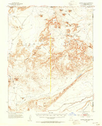 1952 Agathla Peak1954 Print · USGSCovers Apache County, including Oljato-Monument Valley, Baby Rocks, and other nearby areas4 unique versions available
 - 1952 Map of Dinnehotso, 1954 Print
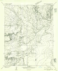
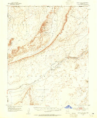 1952 Dinnehotso1954 Print · USGSCovers Apache County, including Dennehotso, Diamond Fields, and other nearby areas3 unique versions available
 - 1952 Map of Agathla Peak 1 NE, 1954 Print
 1952 Agathla Peak 1 NE1954 Print · USGSCovers Apache County, including Oljato-Monument Valley, Navajo County, and other nearby areas
 - 1952 Map of Agathla Peak 1 SE, 1954 Print
 1952 Agathla Peak 1 SE1954 Print · USGSCovers Apache County, including Baby Rocks, Navajo County, and other nearby areas
 - 1952 Map of Setsiltso Springs 2 NW, 1954 Print
 1952 Setsiltso Springs 2 NW1954 Print · USGSCovers Apache County, including San Juan County, United States, and other nearby areas
 - 1952 Map of Setsiltso Springs 2 SW, 1954 Print
 1952 Setsiltso Springs 2 SW1954 Print · USGSCovers Apache County, including Diamond Fields, United States, and other nearby areas
 - 1952 Map of Setsiltso Springs 2 SE, 1954 Print
 1952 Setsiltso Springs 2 SE1954 Print · USGSCovers Apache County, including Dennehotso, United States, and other nearby areas
 - 1952 Map of Setsiltso Springs 2 NE, 1954 Print
 1952 Setsiltso Springs 2 NE1954 Print · USGSCovers Apache County, including San Juan County, United States, and other nearby areas
 - 1953 Map of Los Gigantes NE, 1954 Print
 1953 Los Gigantes NE1954 Print · USGSCovers Apache County, including Shiprock Agency, Chinle Agency, and other nearby areas
 - 1953 Map of Los Gigantes NW, 1954 Print
 1953 Los Gigantes NW1954 Print · USGSCovers Apache County, including Shiprock Agency, Chinle Agency, and other nearby areas
 - 1953 Map of Redrock Valley NE, 1954 Print
 1953 Redrock Valley NE1954 Print · USGSCovers Apache County, including Shiprock Agency, Horse Mesa, and other nearby areas
 - 1953 Map of Dinne Mesa NW, 1954 Print
 1953 Dinne Mesa NW1954 Print · USGSCovers Apache County, including Shiprock Agency, San Juan County, and other nearby areas
 - 1953 Map of Pastora Peak SW, 1954 Print
 1953 Pastora Peak SW1954 Print · USGSCovers Apache County, including Shiprock Agency, United States, and other nearby areas2 unique versions available
Showing maps 1-25 of 398
Top cities of Apache County
- Eagar historical maps
- St. Johns historical maps
- Springerville historical maps
- Dennehotso historical maps
- Alpine historical maps
Frequently asked questions
- What are the different types of historical maps available for Apache County?
- What is the oldest map of Apache County?
- Where can I purchase historical maps of Apache County for my home or office?
- Where can I download high-res historical maps of Apache County?
- Are there historical topographic maps available for Apache County?
- Is there historical aerial imagery available for Apache County?
- Where are historical maps of Apache County sourced from?