Old Maps of Tuba City, Arizona for Genealogy
Trace your family roots with 28 historic maps of Tuba City. These high-res maps reveal old neighborhoods, homesites, landmarks, and streets — helping you uncover where your ancestors lived and how the area evolved over time.
- Explore historic neighborhoods: Identify where your relatives may have lived in the 1800s or 1900s.
- Compare maps over time: Trace the changes in streets, buildings, and landmarks for multi-generational research.
- Perfect for genealogy & ancestry research: Used by family historians and researchers to map out lineage and migration.
These maps are an incredible resource for exploring your personal connection to Tuba City's past.
Tuba City, AZ maps
(28)- 1886 Map of Echo Cliffs
 1886 Echo Cliffs1886 Print · USGSArizona's northern frontier remains a rugged expanse of high plateaus and deep river canyons during the late nineteenth century. Researchers can trace early travel routes through Lee Ferry and locate vital water stops like Jacobs Pools and Bitter Spring.2 unique versions available
 - 1891 Map of Echo Cliffs
 1891 Echo Cliffs1891 Print · USGSNorthern Arizona's river corridors and canyonlands appear here in the late nineteenth century, centered on the vital river crossing at Lee Ferry. Trace early frontier settlements like Tuba City and remote watering holes such as Navajo Spring and Jacobs Pools.8 unique versions available
 - 1956 Map of Marble Canyon, 1964 Print
 1956 Marble Canyon1964 Print · USGSNorthern Arizona and the borderlands of Utah are mapped here in the mid-fifties, showing a landscape defined by traditional trading posts and early uranium mining. Trace old routes between Tuba City and Kayenta, and locate historic sites like Lees Ferry and Inscription House Trading Post.4 unique versions available
 - 1959 Map of Marble Canyon
 1959 Marble Canyon1959 Print · USGSNorthern Arizona in the late fifties is a vast landscape of tribal lands and desert plateaus defined by the carving of the Colorado River. Trace family roots and regional history at Tuba City, the Chilchinbito Trading Post, or the ancient Inscription House Ruin.
 - 1961 Map of Marble Canyon
 1961 Marble Canyon1961 Print · USGSThe northern Arizona desert in the early sixties reveals a landscape of tribal lands and canyon crossings. Trace the old river life at Lees Ferry, find the Uranium mill at Tuba City, and locate the iconic Elephant Feet landmarks.
 - 1969 Map of Moenkopi, 1972 Print
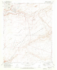 1969 Moenkopi1972 Print · USGSThe Navajo Indian Reservation comes into focus during the late sixties, showcasing the high-desert landscapes of Coconino County. Genealogists and historians can trace local life through features like the Cem, the small settlement of Tahniti, and named natural landmarks such as Three Wise Men and Owls Cap.
 - 1969 Map of Tuba City, 1972 Print
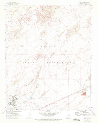 1969 Tuba City1972 Print · USGSIn the late sixties, Tuba City stood as a vital hub within the Navajo Indian Reservation, surrounded by an arid landscape of dunes and springs. Researchers can trace the mid-century community layout from the Hospital and schools to rural landmarks like Charley Day Well and the Rare Metals industrial site.
 - 1969 Map of Moenave, 1972 Print
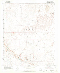 1969 Moenave1972 Print · USGSSettlement and survival in the high desert of the Navajo Indian Reservation are documented here in the late sixties. Researchers can locate remote family landmarks and water sources like the Charlie Secody Well, Natanabah Well, and Moenave.
 - 1969 Map of Moenave SE, 1972 Print
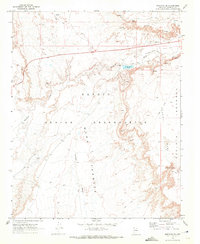 1969 Moenave SE1972 Print · USGSThe high mesas of the Navajo Nation come into focus during the late sixties, showing a landscape defined by traditional movement and modern utility. Researchers can trace remote routes like the Jeep Trails connecting Billy Spring, Toh Nee Di Kishi, and the wide Kerley Valley.
 - 1983 Map of Tuba City
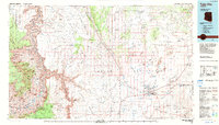 1983 Tuba City1983 Print · USGSThe Navajo Nation and the eastern rim of the Grand Canyon meet in this early 1980s survey of Coconino County. Genealogists and researchers can locate remote outposts like The Gap and Moenave alongside traditional water sites such as Klage Toh and Mesa Spring.2 unique versions available
 - 2011 Map of Tuba City, 2011 Print
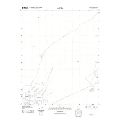 2011 Tuba City2011 Print · USGSTuba City and its surrounding high desert landscape are captured here in the early twenty-first century. Researchers can trace the developed streets of the community and locate outlying landmarks like Rare Metals, Dotson Spring, and Castle Rocks.
 - 2011 Map of Moenave SE, 2011 Print
 2011 Moenave SE2011 Print · USGSCoconino County in the early twenty-first century reveals a desert landscape marked by geological landmarks and tribal routes. Trace unique features like the Dinosaur Tracks and Tuba Arch alongside the expansive Fivemile Wash.
 - 2011 Map of Moenave, 2011 Print
 2011 Moenave2011 Print · USGSThe high-desert landscape of Coconino County is captured here in the early twenty-first century, centered on the settlement of Moenave. Researchers can trace old routes like the Tuba City-Gap Trl and locate vital water sources like Cliff Spring.
 - 2011 Map of Moenkopi, 2011 Print
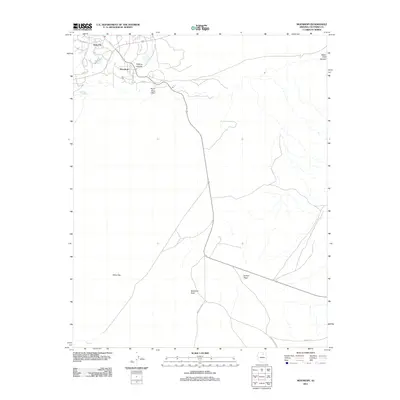 2011 Moenkopi2011 Print · USGSThe high plateaus of northern Arizona are captured here just after the turn of the century, showing the established communities of Moenkopi and Tuba City. Researchers can trace essential water sources like Goldtooth Spring and find landmarks such as Three Wise Men.
 - 2014 Map of Tuba City, 2014 Print
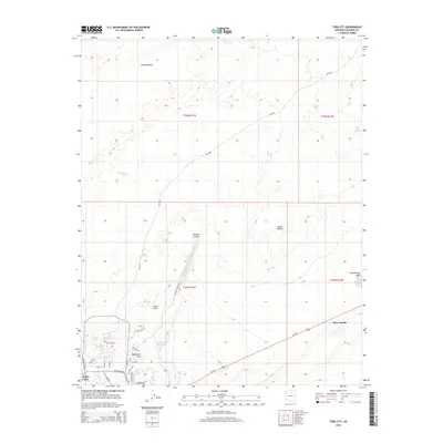 2014 Tuba City2014 Print · USGSTuba City and its surrounding high-desert landscape are captured here in the early twenty-first century. Researchers can trace local development along Arizona Blvd or locate important water and geological markers like Pasture Canyon Reservoir and Castle Rocks.
 - 2014 Map of Moenave SE, 2014 Print
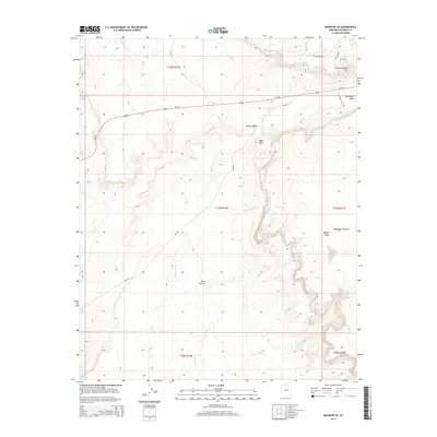 2014 Moenave SE2014 Print · USGSThe high-desert mesas and valleys near Tuba City are captured here in the early twenty-first century. Geologists and local historians can trace the paths of Moenkopi Wash and Fivemile Wash or locate landmarks like Tuba Arch and Ward Terrace.
 - 2014 Map of Moenkopi, 2014 Print
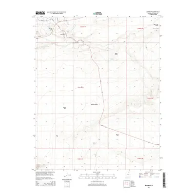 2014 Moenkopi2014 Print · USGSThe high desert landscape near Tuba City is captured here during the early twenty-first century, showing the intersection of tribal lands and desert geography. Researchers can locate remote water sources like John Etsitty Spring or trace the vast Moenkopi Plateau and Tohnali Mesa.
 - 2014 Map of Moenave, 2014 Print
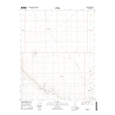 2014 Moenave2014 Print · USGSMoenave and Tuba City are shown in the early twenty-first century amidst a landscape of mesas and high-desert canyons. Researchers can trace land patterns across Mori Mesa and locate vital water sources like Cliff Spring and Cattail Spring.
 - 2018 Map of Moenave, 2018 Print
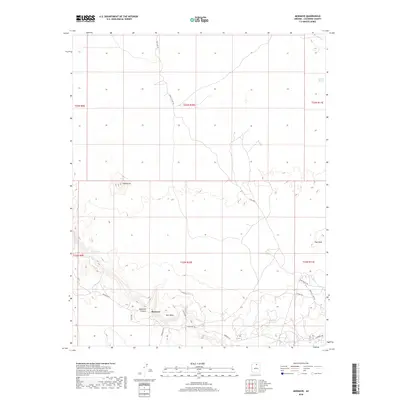 2018 Moenave2018 Print · USGSThe high desert country of Coconino County is captured here in the late 2010s, centered on the settlement of Moenave. Researchers can trace the intersection of ancient terrain and local travel, from the Tuba City Gap Trl to landmarks like Tuba Butte and Cliff Spring.
 - 2018 Map of Moenave SE, 2018 Print
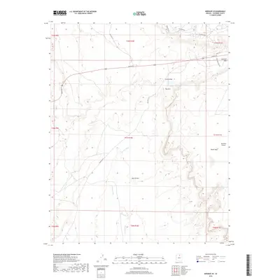 2018 Moenave SE2018 Print · USGSThe high-desert terrain near Tuba City is captured here during the late 2010s, showcasing the geological formations of the Navajo Nation. Researchers can trace landforms like Tuba Arch and the Moenkopi Plateau or locate local landmarks such as Billy Spring.
 - 2018 Map of Tuba City, 2018 Print
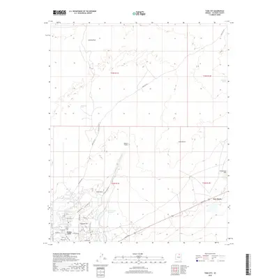 2018 Tuba City2018 Print · USGSTuba City and the surrounding Navajo Nation lands are shown in detail during the late 2010s. Researchers can trace the layout of the town from Navajo Blvd to Dynamite Hill, or locate outlying landmarks like Rare Metals and Pasture Canyon Reservoir.
 - 2018 Map of Moenkopi, 2018 Print
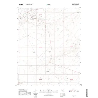 2018 Moenkopi2018 Print · USGSThe high desert community of Moenkopi is shown in detail during the late 2010s, illustrating the relationship between its residential streets and the surrounding mesas. Researchers can trace local landmarks like Balanced Rock and Owls Cap, or locate springs such as Goldtooth Spring.
 - 2021 Map of Tuba City, 2021 Print
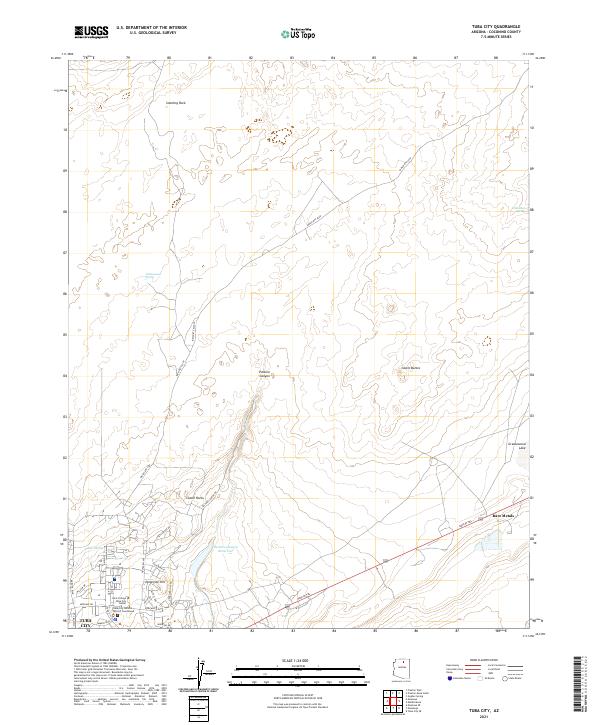 2021 Tuba City2021 Print · USGSTuba City and its surrounding high-desert plateaus are documented here in the early twenty-first century. Researchers can trace the layout of the town's residential core and find outlying landmarks like Rare Metals, Pasture Canyon Reservoir, and Castle Rocks.
 - 2021 Map of Moenave SE, 2021 Print
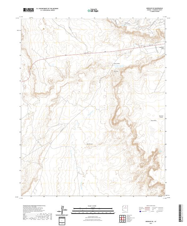 2021 Moenave SE2021 Print · USGSThe high desert plateaus of the Navajo Nation come into sharp focus in this contemporary survey of the Coconino County landscape. Local researchers can trace modern road networks like Indian Rte 101 as they navigate prominent features like Tuba Arch and the Moenkopi Plateau.
 - 2021 Map of Moenave, 2021 Print
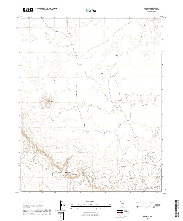 2021 Moenave2021 Print · USGSNear Moenave at the start of the 2020s, this desert landscape reveals a network of traditional trails and seasonal water sources. Trace historical movement across Mori Mesa using the Tuba Gap Trl or locate the Tuba City Community Cem.
Showing maps 1-25 of 28
Top cities near Tuba City
- Tuba City historical maps
- Bodaway Gap historical maps
- Moenkopi historical maps
- Moenkopi historical maps
- Cameron historical maps
Top neighborhoods of Tuba City
Frequently asked questions
- What are the different types of historical maps available for Tuba City?
- What is the oldest map of Tuba City?
- Where can I purchase historical maps of Tuba City for my home or office?
- Where can I download high-res historical maps of Tuba City?
- Are there historical topographic maps available for Tuba City?
- Is there historical aerial imagery available for Tuba City?
- Where are historical maps of Tuba City sourced from?