2000s (21st Century) Maps of Payson, Arizona
Explore 11 historic maps of Payson from the 2000s (21st Century). These maps offer a rare glimpse into what life looked like during the 2000s — showing old roads, neighborhoods, homes, and landmarks that have changed or disappeared over time.
Whether you're researching your family's past, planning a metal detecting trip, or studying how Payson's landscape evolved across the 2000s, these high-resolution maps are a powerful tool for exploring the history of this region.
- Focus on a specific era: All maps on this page are from the 2000s, giving you a focused view of this time period.
- See what’s changed: Compare century-old streets, trails, and buildings to today's modern landscape using overlays and satellite layers.
- Research with precision: Use these maps for genealogy, historical research, land use analysis, or educational projects.
- View, download, or print: Maps are fully viewable online in high resolution, and can be downloaded or printed for your own records.
Start exploring Payson's history through authentic maps from the 2000s. This is your window into the past.
Payson, AZ maps
(11)- 2004 Map of Payson North, 2006 Print
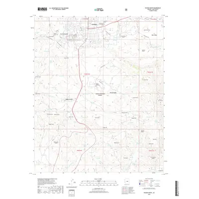
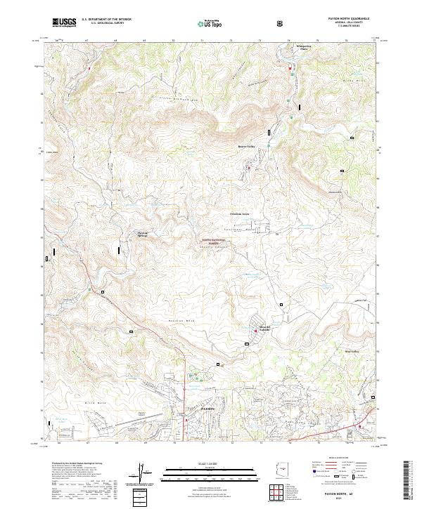
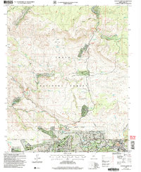 2004 Payson North2006 Print · USGSThe northern edge of Payson and the Verde River valley are captured here at the start of the new millennium. Researchers can locate residential enclaves like Whispering Pines, the Shoofly Indian Ruins, and landmarks along the river such as Water Wheel.
 - 2004 Map of Payson South, 2006 Print
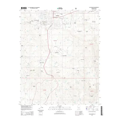
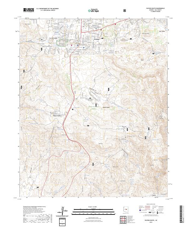
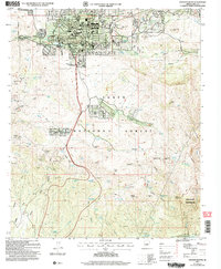 2004 Payson South2006 Print · USGSGila County at the dawn of the millennium shows the town of Payson and the Tonto Indian Reservation during a period of modern growth. Genealogists and historians can trace local families at Payson Cem and locate historic mining sites like the Golden Wonder Mine and Rocky Ford Mine.
 - 2011 Map of Payson South, 2011 Print
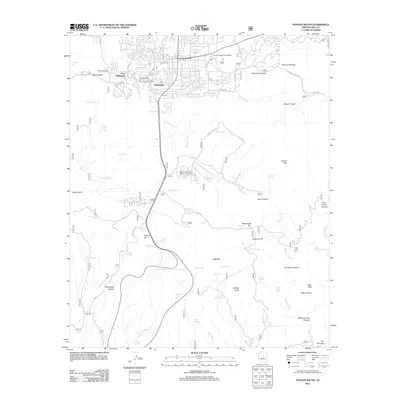 2011 Payson South2011 Print · USGSCovers Payson, including Star Valley, Gibson Ranch, and other nearby areas
 - 2011 Map of Payson North, 2011 Print
 2011 Payson North2011 Print · USGSCovers Payson, including Star Valley, Geronimo Estates, and other nearby areas
 - 2014 Map of Payson South, 2014 Print
 2014 Payson South2014 Print · USGSCovers Payson, including Star Valley, Gibson Ranch, and other nearby areas
 - 2014 Map of Payson North, 2014 Print
 2014 Payson North2014 Print · USGSCovers Payson, including Star Valley, Geronimo Estates, and other nearby areas
 - 2018 Map of Payson North, 2018 Print
 2018 Payson North2018 Print · USGSCovers Payson, including Star Valley, Geronimo Estates, and other nearby areas
 - 2018 Map of Payson South, 2018 Print
 2018 Payson South2018 Print · USGSCovers Payson, including Star Valley, Gibson Ranch, and other nearby areas
 - 2021 Map of Payson North, 2021 Print
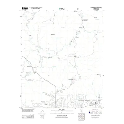
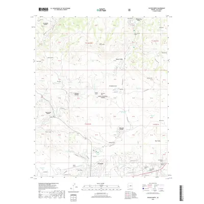
 2021 Payson North2021 Print · USGSGila County's high country comes into focus in this recent survey of the settlements along the Mogollon Rim's southern slopes. Researchers can trace the development of mountain communities like Beaver Valley, Mesa del Caballo, and the northern reaches of Payson.
 - 2021 Map of Payson South, 2021 Print
 2021 Payson South2021 Print · USGSCovers Payson, including Star Valley, Gibson Ranch, and other nearby areas
 - 2023 Map of Payson South, 2023 Print
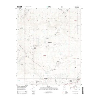
 2023 Payson South2023 Print · USGSPayson and the surrounding Gila County uplands are documented here in the early twenty-first century as the community expands into the forest. Researchers can locate local landmarks like the Payson Pioneer Cem, Fort McDonald, and the Oxbow Estates settlement.
End of results
Showing maps 1-11 of 11
Top cities near Payson
Top neighborhoods of Payson
Frequently asked questions
- What are the different types of historical maps available for Payson?
- What is the oldest map of Payson?
- Where can I purchase historical maps of Payson for my home or office?
- Where can I download high-res historical maps of Payson?
- Are there historical topographic maps available for Payson?
- Is there historical aerial imagery available for Payson?
- Where are historical maps of Payson sourced from?