2000s (21st Century) Maps of Oljato-Monument Valley, Arizona
Explore 12 historic maps of Oljato-Monument Valley from the 2000s (21st Century). These maps offer a rare glimpse into what life looked like during the 2000s — showing old roads, neighborhoods, homes, and landmarks that have changed or disappeared over time.
Whether you're researching your family's past, planning a metal detecting trip, or studying how Oljato-Monument Valley's landscape evolved across the 2000s, these high-resolution maps are a powerful tool for exploring the history of this region.
- Focus on a specific era: All maps on this page are from the 2000s, giving you a focused view of this time period.
- See what’s changed: Compare century-old streets, trails, and buildings to today's modern landscape using overlays and satellite layers.
- Research with precision: Use these maps for genealogy, historical research, land use analysis, or educational projects.
- View, download, or print: Maps are fully viewable online in high resolution, and can be downloaded or printed for your own records.
Start exploring Oljato-Monument Valley's history through authentic maps from the 2000s. This is your window into the past.
Oljato-Monument Valley, AZ maps
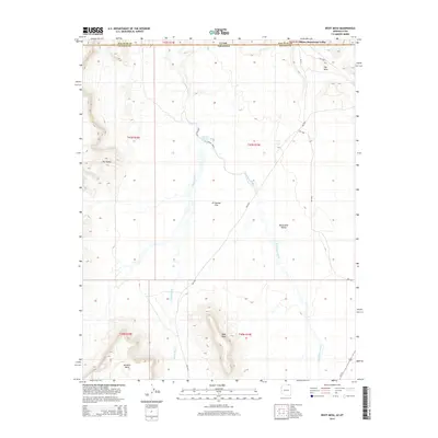
(12)- 2011 Map of Boot Mesa, 2011 Print
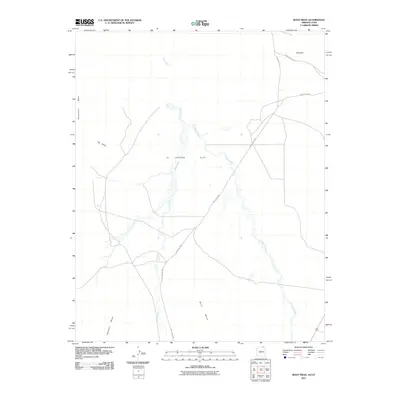 2011 Boot Mesa2011 Print · USGSCovers Oljato-Monument Valley, including Navajo County, San Juan County, and other nearby areas2 unique versions available
 - 2011 Map of Mystery Valley, 2011 Print
 2011 Mystery Valley2011 Print · USGSCovers Oljato-Monument Valley, including Navajo County, San Juan County, and other nearby areas2 unique versions available
 - 2011 Map of Mitten Buttes, 2011 Print
 2011 Mitten Buttes2011 Print · USGSCovers Oljato-Monument Valley, including Navajo County, Apache County, and other nearby areas2 unique versions available
 - 2014 Map of Mitten Buttes, 2014 Print
 2014 Mitten Buttes2014 Print · USGSCovers Oljato-Monument Valley, including Navajo County, Apache County, and other nearby areas
 - 2014 Map of Boot Mesa, 2014 Print
 2014 Boot Mesa2014 Print · USGSCovers Oljato-Monument Valley, including Navajo County, San Juan County, and other nearby areas
 - 2014 Map of Mystery Valley, 2014 Print
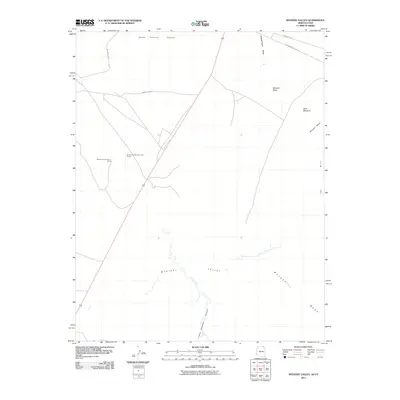
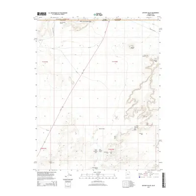 2014 Mystery Valley2014 Print · USGSCovers Oljato-Monument Valley, including Navajo County, San Juan County, and other nearby areas
 - 2018 Map of Mystery Valley, 2018 Print
 2018 Mystery Valley2018 Print · USGSCovers Oljato-Monument Valley, including Navajo County, San Juan County, and other nearby areas
 - 2018 Map of Boot Mesa, 2018 Print
 2018 Boot Mesa2018 Print · USGSCovers Oljato-Monument Valley, including Navajo County, San Juan County, and other nearby areas
 - 2018 Map of Mitten Buttes, 2018 Print
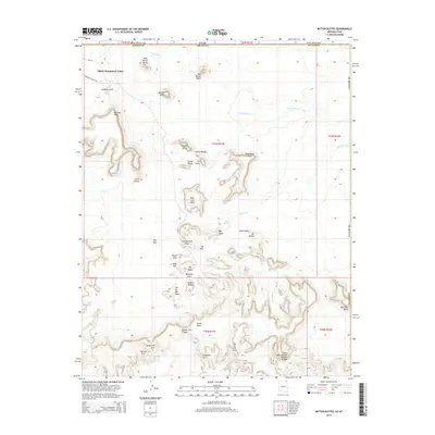
 2018 Mitten Buttes2018 Print · USGSCovers Oljato-Monument Valley, including Navajo County, Apache County, and other nearby areas
 - 2021 Map of Mitten Buttes, 2021 Print
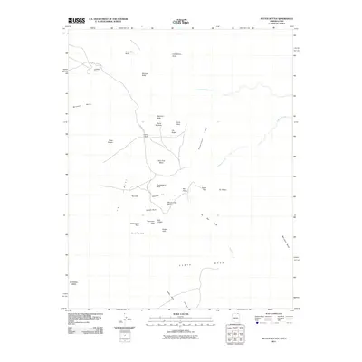
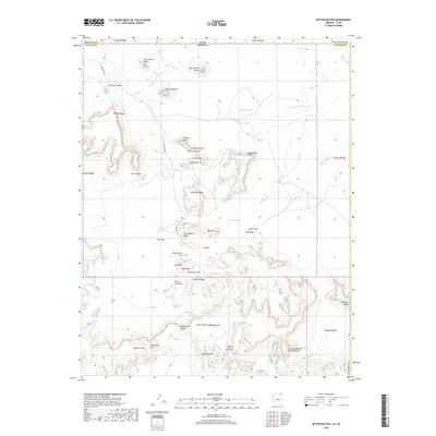
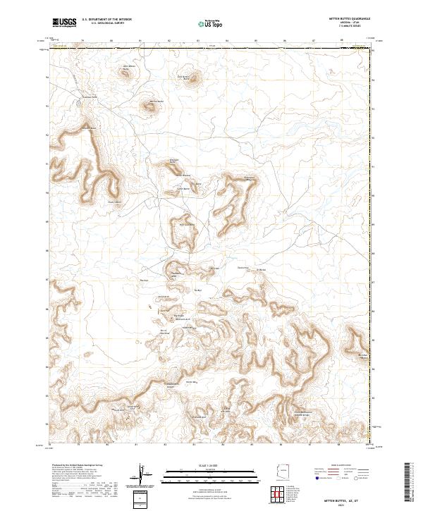 2021 Mitten Buttes2021 Print · USGSThe Navajo Nation borderlands are captured here in 2021, showing the world-famous formations of Monument Valley. Researchers and explorers can locate dozens of named geological landmarks, from West Mitten Butte and the Totem Pole to the remote Spiderweb Arch.
 - 2021 Map of Boot Mesa, 2021 Print
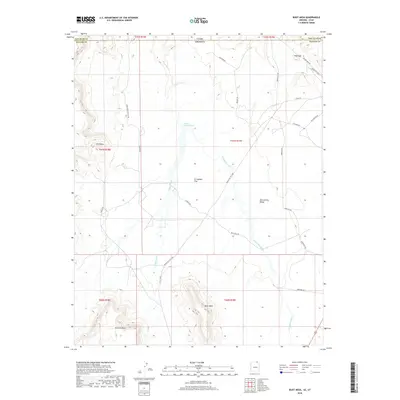
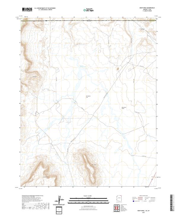 2021 Boot Mesa2021 Print · USGSThe border of Arizona and Utah comes alive in this survey of the Navajo Nation’s high desert landscape during the early 2020s. Trace the intricate topography of Monument Valley and locate distinctive landmarks like Boot Mesa and Hat Rock.
 - 2021 Map of Mystery Valley, 2021 Print
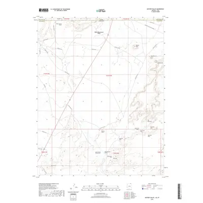
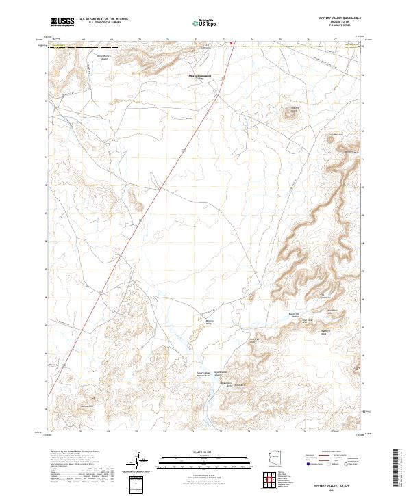 2021 Mystery Valley2021 Print · USGSThe Navajo Nation borderlands are captured here in the early twenty-first century, showing the intersection of Arizona and Utah. Hikers and researchers can locate numerous sandstone formations and natural bridges like Full Moon Arch, Stout Arch, and The Spectacles.
End of results
Showing maps 1-12 of 12
Top cities near Oljato-Monument Valley
Top neighborhoods of Oljato-Monument Valley
Frequently asked questions
- What are the different types of historical maps available for Oljato-Monument Valley?
- What is the oldest map of Oljato-Monument Valley?
- Where can I purchase historical maps of Oljato-Monument Valley for my home or office?
- Where can I download high-res historical maps of Oljato-Monument Valley?
- Are there historical topographic maps available for Oljato-Monument Valley?
- Is there historical aerial imagery available for Oljato-Monument Valley?
- Where are historical maps of Oljato-Monument Valley sourced from?