2010s Maps of Gu Achi District, Arizona
Explore 42 historic maps of Gu Achi District from the 2010s. These maps offer a rare glimpse into what life looked like during the 2010s — showing old roads, neighborhoods, homes, and landmarks that have changed or disappeared over time.
Whether you're researching your family's past, planning a metal detecting trip, or studying how Gu Achi District's landscape evolved across the 2010s, these high-resolution maps are a powerful tool for exploring the history of this region.
- Focus on a specific era: All maps on this page are from the 2010s, giving you a focused view of this time period.
- See what’s changed: Compare century-old streets, trails, and buildings to today's modern landscape using overlays and satellite layers.
- Research with precision: Use these maps for genealogy, historical research, land use analysis, or educational projects.
- View, download, or print: Maps are fully viewable online in high resolution, and can be downloaded or printed for your own records.
Start exploring Gu Achi District's history through authentic maps from the 2010s. This is your window into the past.
Gu Achi District, AZ maps
(42)- 2011 Map of Comobabi, 2011 Print
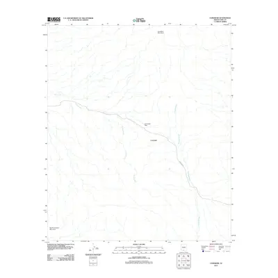 2011 Comobabi2011 Print · USGSThe Schuk Toak District of Pima County is captured here in the early twenty-first century, centered on the desert settlement of Comobabi. Researchers can trace the path of Indian Rte 30 as it navigates the Comobabi Pass between two mountain ranges.
 - 2011 Map of Santa Rosa Mountains SE, 2011 Print
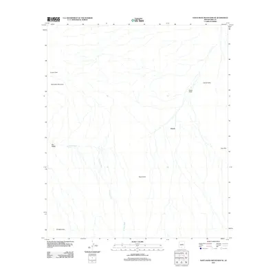 2011 Santa Rosa Mountains SE2011 Print · USGSThe Sif Oidak District in the early twenty-first century is defined by its arid basins and the peaks of the Santa Rosa Mountains. Researchers can trace the path of the Sil Nakya Wash and locate the small settlements of Hoi Oidak and Pipyak in their desert context.
 - 2011 Map of Window Mountain, 2011 Print
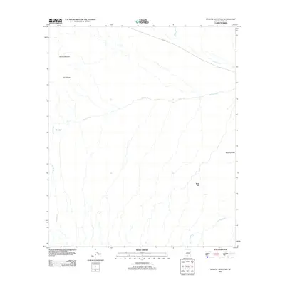 2011 Window Mountain2011 Print · USGSThe Sif Oidak District comes into focus at the start of the decade, showing a landscape where seasonal watercourses and desert peaks shape the community. Researchers can trace the layout of small settlements like Oit Ihuk and Noipa Kam near landmarks like The Window.
 - 2011 Map of Gurli Put Vo, 2011 Print
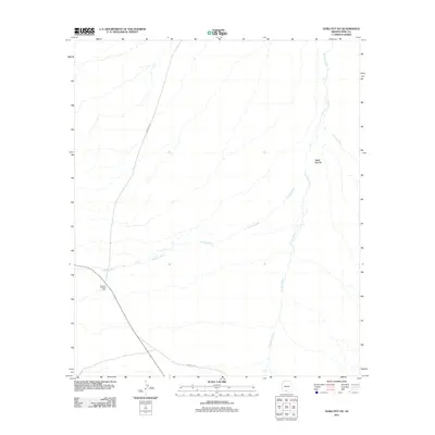 2011 Gurli Put Vo2011 Print · USGSIn the Gu Achi District of Pima County, this early twenty-first-century survey captures the remote desert landscape of the Tohono O'odham Nation. Researchers can trace historical routes like Indian Rte 15 and locate the site of the Quijotoa Trading Post.
 - 2011 Map of Hickiwan, 2011 Print
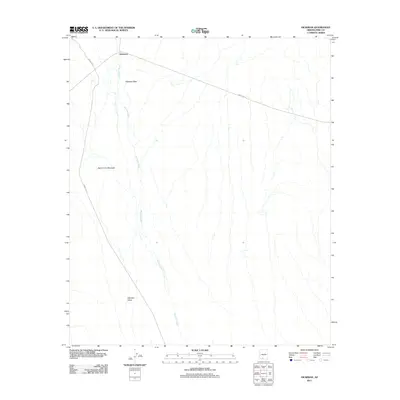 2011 Hickiwan2011 Print · USGSHickiwan and the surrounding desert peaks are captured here in the early twenty-first century. Researchers can trace the path of Hickiwan Wash through the Hickiwan Valley or locate landmarks like Black Circle Mountain.
 - 2011 Map of Maish Vaya, 2011 Print
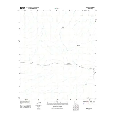 2011 Maish Vaya2011 Print · USGSMaish Vaya and the Gu Achi District are documented here in the early twenty-first century, showing the enduring desert settlements of the Tohono O'odham Nation. Researchers can trace local landmarks like Covered Wells, the Quijotoa Pass, and the seasonal flow of Santa Rosa Wash.
 - 2011 Map of Ventana, 2011 Print
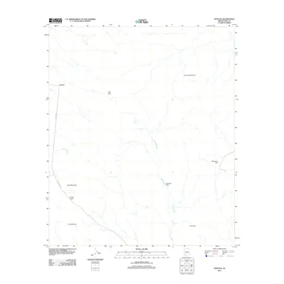 2011 Ventana2011 Print · USGSVentana and the surrounding Pima County desert are shown here as they appeared in the early twenty-first century. Researchers can trace remote routes like Indian Rte 23 and locate landmarks such as Muik Vaya, Ventana Pass, and the Black Hills.
 - 2011 Map of Santa Rosa, 2011 Print
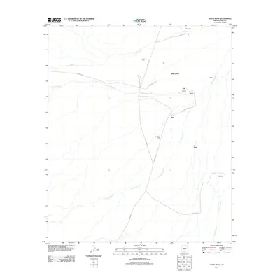 2011 Santa Rosa2011 Print · USGSThe Sif Oidak District comes into focus in the early twenty-first century, showing the enduring tribal settlements and vital desert washes. Researchers can trace local community life through landmarks like the Santa Rosa Trading Post, Anegam, and the Santa Rosa Francisco Cemetery.
 - 2011 Map of Vaya Chin, 2011 Print
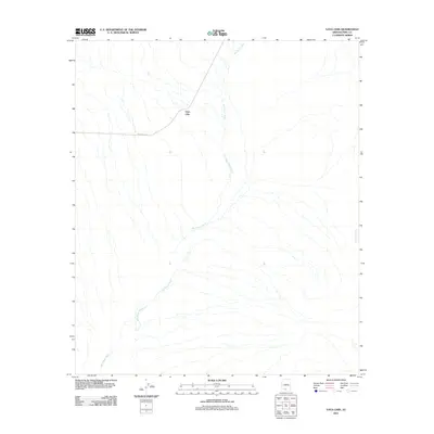 2011 Vaya Chin2011 Print · USGSThe settlement of Vaya Chin and its surrounding desert landscape are captured here in the early twenty-first century. Genealogists and researchers can trace the course of San Simon Wash and follow Indian Rte-34 through this remote corner of Pima County.
 - 2011 Map of Vainom Kug, 2011 Print
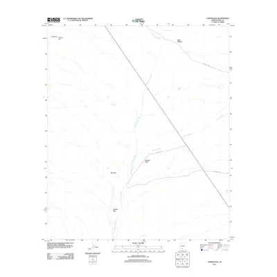 2011 Vainom Kug2011 Print · USGSArizona's Sonoran landscape near the Tohono O'odham Nation is revealed here in the early twenty-first century. Genealogists and researchers can trace local settlements like Vainom Kug, Kui Tatk, and Sikul Himatk alongside seasonal waters at San Luis Wash.
 - 2011 Map of Ko Vaya, 2011 Print
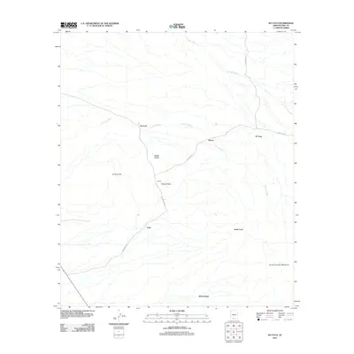 2011 Ko Vaya2011 Print · USGSPima County's desert landscapes are shown in detail during the early 2010s, revealing a network of small settlements and tribal routes. Researchers can trace the roads connecting Santa Lucia, Ko Vaya, and Nolic through the Ko Vaya Hills.
 - 2011 Map of Sand Wells, 2011 Print
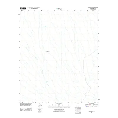 2011 Sand Wells2011 Print · USGSThe Gu Achi District landscape is captured here in the early twenty-first century, showing a terrain shaped by seasonal desert watercourses. You can trace the path of Ko Vaya Wash and locate vital water-retention sites like Standing Bar Tank and Pad Wo'o Tank.
 - 2011 Map of Santa Rosa Mountains SW, 2011 Print
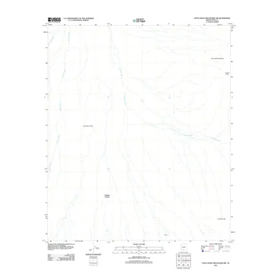 2011 Santa Rosa Mountains SW2011 Print · USGSThe Sif Oidak District desert landscape is captured here in the early twenty-first century, showing the relationship between small settlements and the arid terrain. Researchers can locate Makgum Havoka and Bibyak near the alluvial Santa Rosa Wash.
 - 2011 Map of Sil Nakya, 2011 Print
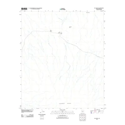 2011 Sil Nakya2011 Print · USGSThis high-desert region of Pima County comes into focus in the early twenty-first century, centered on the settlement of Sil Nakya. Researchers can trace the path of Indian Rte 34 as it crosses Sil Nakya Pass between the Comobari Mountains and Sil Nakya Hills.
 - 2014 Map of Hickiwan, 2014 Print
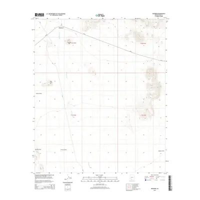 2014 Hickiwan2014 Print · USGSThe Tohono O'odham Nation interior is documented here during the early twenty-first century, centered on the settlement of Hickiwan. Researchers can trace local landmarks like Hickiwan Peak and follow the paths of BIA-17 and BIA-34 across the desert floor.
 - 2014 Map of Window Mountain, 2014 Print
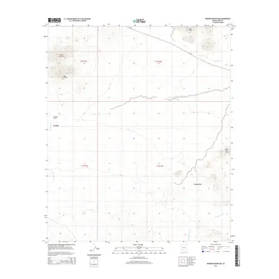 2014 Window Mountain2014 Print · USGSThe desert reaches of the Sif Oidak District appear here in the early twenty-first century, showing a landscape defined by ancestral settlements and geological landmarks. You can trace the proximity of Oit Ihuk and Noipa Kam to the seasonal courses of Gu Achi Wash and Santa Rosa Wash.
 - 2014 Map of Ventana, 2014 Print
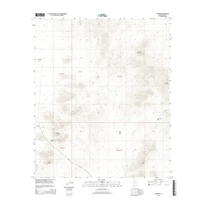 2014 Ventana2014 Print · USGSVentana and the surrounding Pima County desert are captured here in the early twenty-first century. Researchers can trace the rugged geography of the Cimarron Mountains and Castle Mountains, alongside landmarks like Ventana Pass and Cave Mtn.
 - 2014 Map of Vaya Chin, 2014 Print
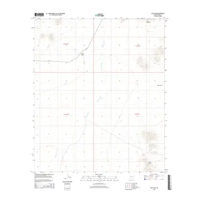 2014 Vaya Chin2014 Print · USGSVaya Chin and the surrounding desert of Pima County are captured here in the early twenty-first century. Researchers can trace the path of San Simon Wash and locate the crossroads at Vaya Chin near the Castle Mountains.
 - 2014 Map of Santa Rosa Mountains SW, 2014 Print
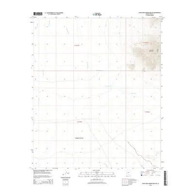 2014 Santa Rosa Mountains SW2014 Print · USGSPima County’s desert landscape is documented here in the early twenty-first century, showing the intersection of mountain peaks and vast wash systems. Researchers can locate the settlement of Makgum Havoka and trace water features like Mule Shoe Tank and Gu Achi Peak.
 - 2014 Map of Sand Wells, 2014 Print
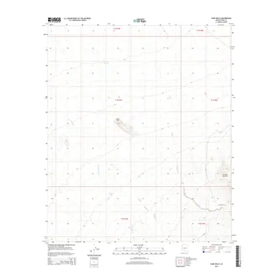 2014 Sand Wells2014 Print · USGSThe desert landscape of Pima County is revealed in the mid-2010s, showing a land defined by water management and mountain peaks. Genealogists and historians can locate the Sand Wells settlement and trace the path of BIA-33 near the Comobari Mountains.
 - 2014 Map of Vainom Kug, 2014 Print
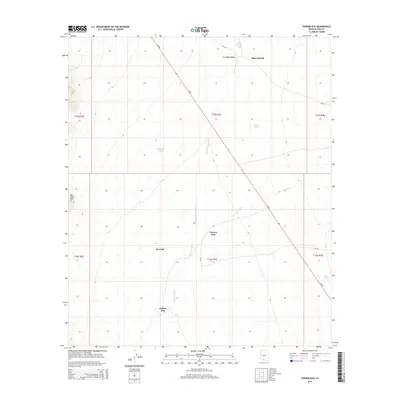 2014 Vainom Kug2014 Print · USGSThe Pima County desert landscape comes into focus here during the early twenty-first century. Genealogists and historians can locate traditional settlements like Vainom Kug and Kui Tatk, or trace water sources like Havana Tank and Sikul Himatk Wash.
 - 2014 Map of Santa Rosa, 2014 Print
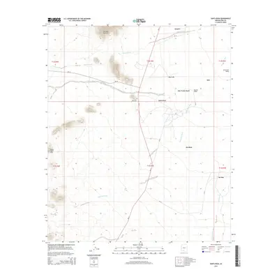 2014 Santa Rosa2014 Print · USGSThe desert settlements of the Sif Oidak District are documented here in the early twenty-first century as they cluster along vital desert washes. Researchers can trace the community connections between Anegam, Santa Rosa, and the Santa Rosa Francisco Cem.
 - 2014 Map of Gurli Put Vo, 2014 Print
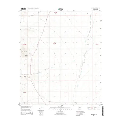 2014 Gurli Put Vo2014 Print · USGSThe Gu Achi District of Pima County is captured here in the early twenty-first century, showing the desert valley floor and its indigenous settlements. Researchers can locate Gurli Put Vo and Maish Vaya, while tracing the seasonal paths of Quijotoa Wash and Ak Chin Wash.
 - 2014 Map of Maish Vaya, 2014 Print
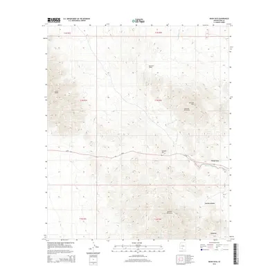 2014 Maish Vaya2014 Print · USGSThe high desert of Pima County comes into focus in this early twenty-first-century survey. Genealogists and desert researchers can trace the roads and washes connecting Maish Vaya, Quijotoa, and Narcho Santos along the Quijotoa Pass.
 - 2014 Map of Sil Nakya, 2014 Print
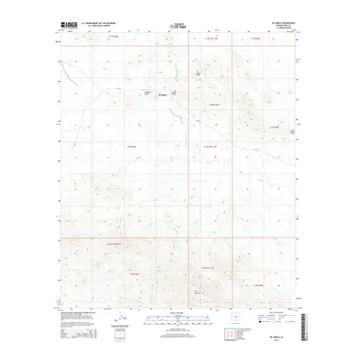 2014 Sil Nakya2014 Print · USGSSil Nakya and the Schuk Toak District are shown in detail during the early twenty-first century. Researchers can trace desert roads like BIA-33 and locate landmarks such as the Comobari Mountains and the settlement of Sil Nakya.
Showing maps 1-25 of 42
Top cities near Gu Achi District
Top neighborhoods of Gu Achi District
- San Luis historical maps
- Ko Vaya historical maps
- Palo Verde Stand historical maps
- Santa Rosa historical maps
- Maish Vaya historical maps
- Narcho Santos historical maps
See more
Frequently asked questions
- What are the different types of historical maps available for Gu Achi District?
- What is the oldest map of Gu Achi District?
- Where can I purchase historical maps of Gu Achi District for my home or office?
- Where can I download high-res historical maps of Gu Achi District?
- Are there historical topographic maps available for Gu Achi District?
- Is there historical aerial imagery available for Gu Achi District?
- Where are historical maps of Gu Achi District sourced from?