2020s Maps of Camp Verde, Arizona
Explore 7 historic maps of Camp Verde from the 2020s. These maps offer a rare glimpse into what life looked like during the 2020s — showing old roads, neighborhoods, homes, and landmarks that have changed or disappeared over time.
Whether you're researching your family's past, planning a metal detecting trip, or studying how Camp Verde's landscape evolved across the 2020s, these high-resolution maps are a powerful tool for exploring the history of this region.
- Focus on a specific era: All maps on this page are from the 2020s, giving you a focused view of this time period.
- See what’s changed: Compare century-old streets, trails, and buildings to today's modern landscape using overlays and satellite layers.
- Research with precision: Use these maps for genealogy, historical research, land use analysis, or educational projects.
- View, download, or print: Maps are fully viewable online in high resolution, and can be downloaded or printed for your own records.
Start exploring Camp Verde's history through authentic maps from the 2020s. This is your window into the past.
Camp Verde, AZ maps
(7)- 2021 Map of Cornville, 2021 Print
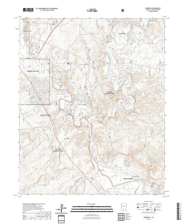 2021 Cornville2021 Print · USGSThe Verde River valley in the early twenty-first century is defined by its historic irrigation ditches and growing valley towns. Trace the evolution of local landmarks like All Souls Cem, the Verde River, and the community of Cornville.
 - 2021 Map of Horner Mountain, 2021 Print
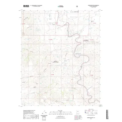 2021 Horner Mountain2021 Print · USGSCovers Camp Verde, including Yavapai County, United States, and other nearby areas
 - 2021 Map of Lake Montezuma, 2021 Print
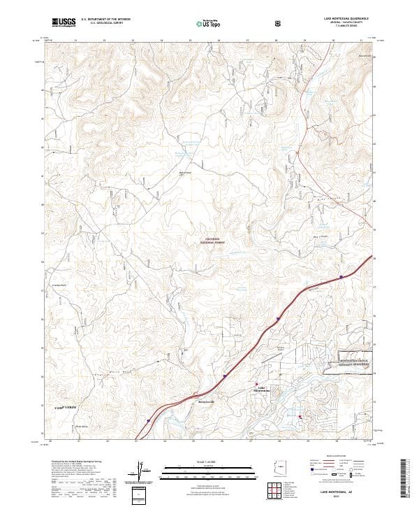 2021 Lake Montezuma2021 Print · USGSYavapai County's high desert landscape comes into focus in this recent survey of the Verde Valley. Trace modern developments alongside historic landmarks like Montezuma Castle National Monument, Rimrock Airport, and the Chaves Trl.
 - 2021 Map of Middle Verde, 2021 Print
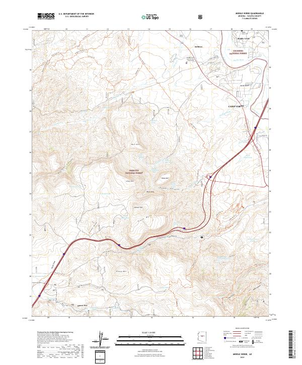 2021 Middle Verde2021 Print · USGSThe high desert of central Arizona meets the sprawling national forests in this contemporary record of the Verde Valley. Researchers can trace historic routes like the General Crook Trl and locate the Middle Verde Cem alongside landmarks like Grief Hill.
 - 2021 Map of Camp Verde, 2021 Print
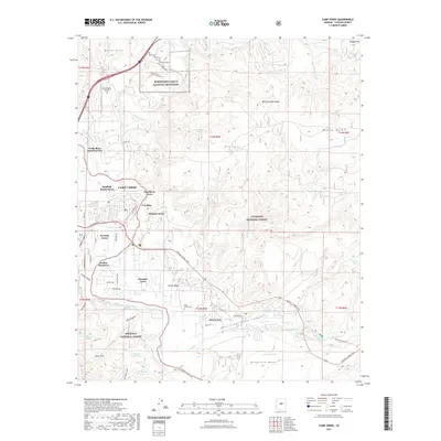 2021 Camp Verde2021 Print · USGSCovers Camp Verde, including Yavapai County, United States, and other nearby areas
 - 2023 Map of Horner Mountain, 2023 Print
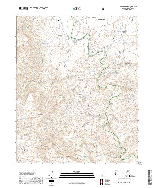 2023 Horner Mountain2023 Print · USGSThe Verde Valley and surrounding national forests are captured here during the early twenty-first century. Hikers and historians can trace an extensive trail network through the Cedar Bench Wilderness and identify remote water sources like Amerone Spring Number One and Gospel Hollow.
 - 2023 Map of Camp Verde, 2023 Print
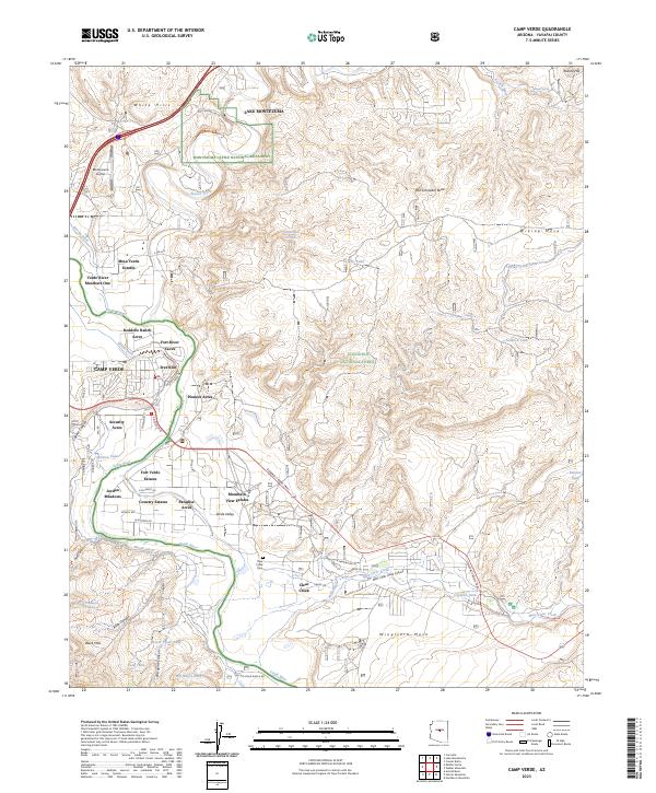 2023 Camp Verde2023 Print · USGSCamp Verde and the surrounding river valley are shown in contemporary detail, capturing the intersection of ancient history and modern growth. Researchers can trace the path of the General Crook Trail and locate family landmarks such as Reddells Ranch Acres or the Clear Creek Cem.
End of results
Showing maps 1-7 of 7
Top cities near Camp Verde
Top neighborhoods of Camp Verde
- Camp Verde historical maps
- Middle Verde historical maps
- Mesa Verde Estates historical maps
- Verde River Meadows One historical maps
- Fort River Caves historical maps
- Paradise Acres historical maps
See more
Frequently asked questions
- What are the different types of historical maps available for Camp Verde?
- What is the oldest map of Camp Verde?
- Where can I purchase historical maps of Camp Verde for my home or office?
- Where can I download high-res historical maps of Camp Verde?
- Are there historical topographic maps available for Camp Verde?
- Is there historical aerial imagery available for Camp Verde?
- Where are historical maps of Camp Verde sourced from?