Old Maps of Camp Verde, Arizona for Hiking & Exploration
Hike through history with 40 historic maps of Camp Verde. Explore old trails, ghost towns, and forgotten backroads — perfect for outdoor adventurers and local explorers.
- Rediscover forgotten places: Map out old mining camps, roads, and footpaths that no longer exist on modern maps.
- Layer with modern tools: Combine with LiDAR or satellite views to plan hikes through historical terrain.
- Made for exploration: Popular among hikers, overlanders, and local history lovers.
Use these maps to find adventure and explore the hidden past of Camp Verde.
Camp Verde, AZ maps
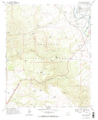
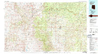
(40)- 1887 Map of Verde
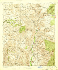
 1887 Verde1887 Print · USGSCentral Arizona at the height of the territorial era is defined by the military presence at Fort Verde and the ranching settlements below the Mogollon Mesa. Genealogists and researchers can trace the early foundations of Payson, Pine, and Strawberry or locate landmarks like Montezuma Well and Natural Bridge.
 - 1892 Map of Verde
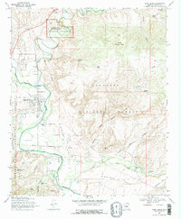
 1892 Verde1892 Print · USGSArizona's territorial frontier is captured in the late nineteenth century as the first ranching and military outposts emerged. Trace the earliest layouts of Payson, Fort Verde, and Strawberry alongside landmarks like Montezuma Well and Natural Bridge.5 unique versions available
 - 1923 Map of Camp Verde
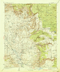
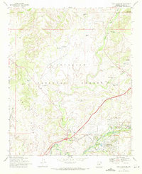
 1923 Camp Verde1923 Print · USGSCentral Arizona's river valleys and high plateaus appear here during the early twenties, showing the region's shift toward tourism and settlement. Trace the routes to Montezuma Castle Nat Monument or locate early sites like Cornville and Aultman.
 - 1929 Map of Turret Peak, 1958 Print
 1929 Turret Peak1958 Print · USGSYavapai County ranching and mining reach their peak in the late twenties along the winding Verde River. Researchers can trace the legacy of early families and industrial ventures at the United Arizona Mine, Brown Springs Ranch, and Anchor Ranch.3 unique versions available
 - 1932 Map of Camp Verde, 1959 Print
 1932 Camp Verde1959 Print · USGSThe Verde Valley and the Mogollon Rim are documented here in the early 1930s, showing a landscape of remote cattle ranches and historic ruins. Researchers can trace early schools and homesteads like Red Rock Sch, Middle Verde, and Indian Gardens alongside Montezuma Well.2 unique versions available
 - 1933 Map of Turret Peak
 1933 Turret Peak1933 Print · USGSArizona's central highlands come alive in the 1930s as a land of remote mining claims and isolated ranching outposts. Trace the early copper industry at the Copper Queen Mine and Rosalie Mine, or locate family sites like the Dugan Ranch and Dugas near the Verde River.3 unique versions available
 - 1936 Map of Camp Verde
 1936 Camp Verde1936 Print · USGSThe Verde Valley and Red Rock country are captured in the mid-1930s, showing a landscape of pioneer ranches and ancient ruins. Researchers can locate the early footprints of Sedona and Camp Verde, alongside remote landmarks like Montezuma Castle National Monument and the Stoneman Lake area.3 unique versions available
 - 1954 Map of Holbrook, 1966 Print
 1954 Holbrook1966 Print · USGSNorth-central Arizona is seen here during the mid-fifties, from the high plateau of the Mogollon Rim to the Verde Valley. Researchers can trace the early growth of Holbrook, locate remote camps like Happy Jack, and explore the roads around Montezuma Castle National Monument.3 unique versions available
 - 1957 Map of Holbrook
 1957 Holbrook1957 Print · USGSNorthern Arizona in the mid-fifties is defined by the high-plateau timberlands and the bustling rail corridor of the Little Colorado River valley. Genealogists and historians can trace the route of U.S. 66 through Holbrook or locate more remote outposts like Zeniff and Aripine.
 - 1958 Map of Holbrook
 1958 Holbrook1958 Print · USGSNortheastern Arizona's high country is captured here during the mid-fifties, showing the growth of mountain towns and timber lands. Researchers can trace the Atchison Topeka & Santa Fe RR through Holbrook or find vanished spots like Zeniff.
 - 1960 Map of Holbrook
 1960 Holbrook1960 Print · USGSNorthern Arizona is captured here just as modern highways began to reshape the cattle and timber country of the Colorado Plateau. Genealogists and historians can trace the early footprints of Snowflake, Sedona, and Payson, alongside the Atchison Topeka & Santa Fe RR rail line.
 - 1967 Map of Horner Mtn. , 1968 Print
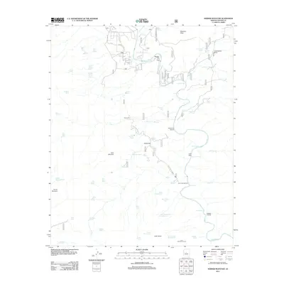
 1967 Horner Mtn.1968 Print · USGSThe rugged landscape of Yavapai County in the late 1960s is defined by the winding Verde River and the high plateaus of the national forests. Researchers can trace ranching history and mineral exploration through the Brown Springs Ranch and the Squaw Peak Mine.3 unique versions available
 - 1968 Map of Cornville, 1971 Print
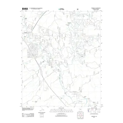
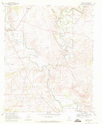 1968 Cornville1971 Print · USGSThe Verde Valley during the late sixties shows the convergence of Oak Creek and the Verde River amidst sprawling cattle and farm lands. Genealogists and historians can locate the Middle Verde Cem and landmarks like the Oak Creek Sch and Cloverleaf Ranch.2 unique versions available
 - 1969 Map of Middle Verde, 1971 Print
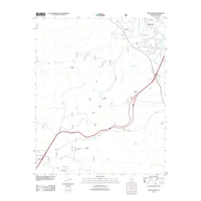
 1969 Middle Verde1971 Print · USGSThe Verde River valley and the rugged Black Hills of Arizona come alive in this late 1960s survey. Genealogists and local historians can trace the Camp Verde Military Reservation Boundary and locate the former settlement of Aultman or Middle Verde.2 unique versions available
 - 1969 Map of Camp Verde, 1971 Print
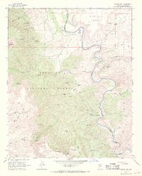
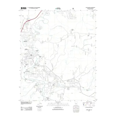
 1969 Camp Verde1971 Print · USGSThe Verde Valley and its surrounding national forests come alive in this survey of the late 1960s. Researchers can trace the Old Military Reservation Boundary and explore family history near Clear Creek Cemetery or the ancient Montezuma Castle National Monument.2 unique versions available
 - 1969 Map of Lake Montezuma, 1972 Print
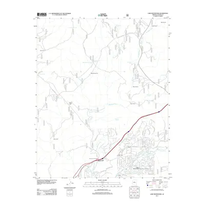
 1969 Lake Montezuma1972 Print · USGSYavapai County's high desert landscape comes into focus during the late sixties as residential growth meets ancient landmarks. Trace the early layout of Lake Montezuma and Rimrock alongside historic sites like Montezuma Castle National Monument and Apache Maid Ranch.2 unique versions available
 - 1980 Map of Sedona, 1996 Print
 1980 Sedona1996 Print · USGSThe red rock country around Sedona and the Verde Valley are captured in the late twentieth century, showing a mix of ancient sites and modern growth. Genealogists and researchers can trace local landmarks like Cornville, the Camp Verde Indian Reservation, and Montezuma Castle National Monument.
 - 1981 Map of Payson
 1981 Payson1981 Print · USGSCentral Arizona's mountain country comes into focus in the early eighties, centered on the growing town of Payson. Trace the mining history at Gowan Mine, find old forest outposts like Kohls Ranch, and see the rugged Mogollon Rim terrain.2 unique versions available
 - 2011 Map of Lake Montezuma, 2011 Print
 2011 Lake Montezuma2011 Print · USGSCovers Camp Verde, including Rimrock, McGuireville, and other nearby areas
 - 2012 Map of Cornville, 2012 Print
 2012 Cornville2012 Print · USGSCovers Camp Verde, including Cottonwood, Bignotti, and other nearby areas
 - 2012 Map of Middle Verde, 2012 Print
 2012 Middle Verde2012 Print · USGSCovers Camp Verde, including Middle Verde, Yavapai County, and other nearby areas
 - 2012 Map of Horner Mountain, 2012 Print
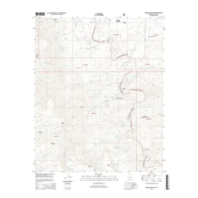
 2012 Horner Mountain2012 Print · USGSCovers Camp Verde, including Yavapai County, United States, and other nearby areas
 - 2012 Map of Camp Verde, 2012 Print
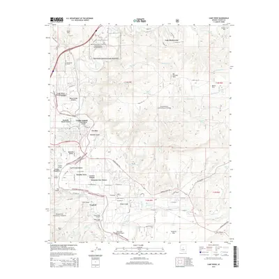
 2012 Camp Verde2012 Print · USGSCovers Camp Verde, including Yavapai County, United States, and other nearby areas
 - 2014 Map of Horner Mountain, 2014 Print
 2014 Horner Mountain2014 Print · USGSCovers Camp Verde, including Yavapai County, United States, and other nearby areas
 - 2014 Map of Camp Verde, 2014 Print
 2014 Camp Verde2014 Print · USGSCovers Camp Verde, including Yavapai County, United States, and other nearby areas
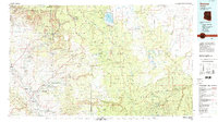
Showing maps 1-25 of 40
Top cities near Camp Verde
Top neighborhoods of Camp Verde
- Camp Verde historical maps
- Middle Verde historical maps
- Mesa Verde Estates historical maps
- Verde River Meadows One historical maps
- Fort River Caves historical maps
- Paradise Acres historical maps
See more
Frequently asked questions
- What are the different types of historical maps available for Camp Verde?
- What is the oldest map of Camp Verde?
- Where can I purchase historical maps of Camp Verde for my home or office?
- Where can I download high-res historical maps of Camp Verde?
- Are there historical topographic maps available for Camp Verde?
- Is there historical aerial imagery available for Camp Verde?
- Where are historical maps of Camp Verde sourced from?