2000s (21st Century) Maps of Camp Verde, Arizona
Explore 22 historic maps of Camp Verde from the 2000s (21st Century). These maps offer a rare glimpse into what life looked like during the 2000s — showing old roads, neighborhoods, homes, and landmarks that have changed or disappeared over time.
Whether you're researching your family's past, planning a metal detecting trip, or studying how Camp Verde's landscape evolved across the 2000s, these high-resolution maps are a powerful tool for exploring the history of this region.
- Focus on a specific era: All maps on this page are from the 2000s, giving you a focused view of this time period.
- See what’s changed: Compare century-old streets, trails, and buildings to today's modern landscape using overlays and satellite layers.
- Research with precision: Use these maps for genealogy, historical research, land use analysis, or educational projects.
- View, download, or print: Maps are fully viewable online in high resolution, and can be downloaded or printed for your own records.
Start exploring Camp Verde's history through authentic maps from the 2000s. This is your window into the past.
Camp Verde, AZ maps
(22)- 2011 Map of Lake Montezuma, 2011 Print
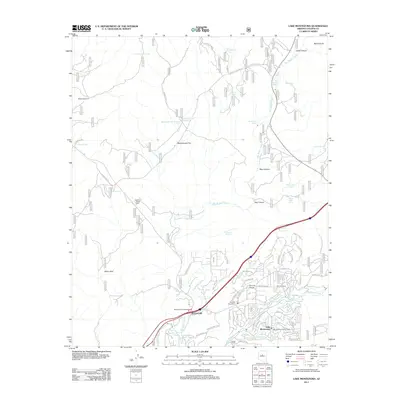 2011 Lake Montezuma2011 Print · USGSYavapai County's high desert reveals its modern settlement patterns and seasonal water sources in this 2011 survey. Local historians can trace development around McGuireville and Rimrock Ranch or locate markers like Melton Windmill.
 - 2012 Map of Cornville, 2012 Print
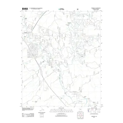 2012 Cornville2012 Print · USGSYavapai County's river valleys and desert uplands come into focus in this early twenty-first-century survey of the Verde River corridor. Researchers can trace historical irrigation through the Cornville Ditch or locate family sites near Bignotti and the Middle Verde Indian Cem.
 - 2012 Map of Middle Verde, 2012 Print
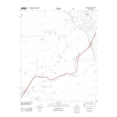 2012 Middle Verde2012 Print · USGSThe Yavapai County ranchlands and river valleys are captured here in the early twenty-first century, showing the enduring agricultural footprint of the area. Genealogists and local historians can trace family sites from the Middle Verde Cem to working landmarks like Flower Pot Ranch and Bates Windmill.
 - 2012 Map of Horner Mountain, 2012 Print
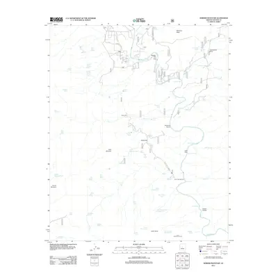 2012 Horner Mountain2012 Print · USGSThe Verde River valley in Yavapai County is documented here during the early twenty-first century, showcasing a landscape defined by ranching and river rapids. Researchers can trace land management at Brown Springs Ranch and find remote water sources like Goat Camp Spring and Laddens Tank.
 - 2012 Map of Camp Verde, 2012 Print
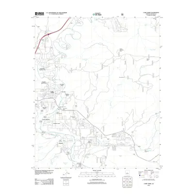 2012 Camp Verde2012 Print · USGSCamp Verde and the surrounding river valleys are captured here in the early twenty-first century as suburban residential growth meets traditional ranching lands. Researchers can trace local genealogy and land use through Clear Creek Cemetery, the Fort River Caves, and named tracts like Jordan Meadows.
 - 2014 Map of Horner Mountain, 2014 Print
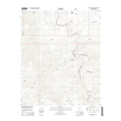 2014 Horner Mountain2014 Print · USGSThe high desert and river canyons of Yavapai County are captured here in the mid-2010s, showing the intersection of national forests and local ranching lands. Researchers can locate remote landmarks like Gospel Hollow, Beasley Flat, and the rugged heights of Horner Mountain.
 - 2014 Map of Camp Verde, 2014 Print
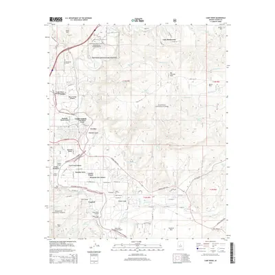 2014 Camp Verde2014 Print · USGSCamp Verde and the surrounding Yavapai County highlands are shown in detail during a period of modern residential growth near historic landmarks. Researchers can trace the General Crook Trail and locate family sites near Clear Creek Cem or Wingfield.
 - 2014 Map of Cornville, 2014 Print
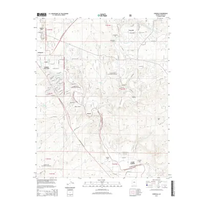 2014 Cornville2014 Print · USGSThe Verde Valley during a period of modern growth still retains the intricate irrigation networks and forest boundaries of its past. Genealogists and historians can trace the development of Verde Village and Cornville alongside long-established features like the Cottonwood Ditch and Oak Creek.
 - 2014 Map of Middle Verde, 2014 Print
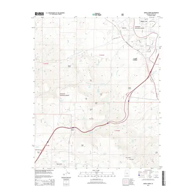 2014 Middle Verde2014 Print · USGSThe high-desert ranchlands and canyons of Yavapai County are shown here in the mid-2010s. Researchers can locate the Mid Verde Cem and trace the historic Ok Ditch near the settlements of Middle Verde and Flower Pot.
 - 2014 Map of Lake Montezuma, 2014 Print
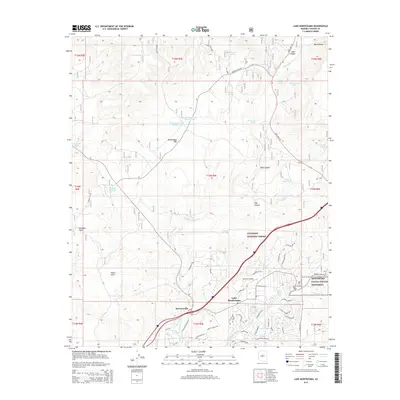 2014 Lake Montezuma2014 Print · USGSThe Verde Valley area near Camp Verde is captured here just as modern development meets ancient history. Genealogists and researchers can trace the neighborhoods of Lake Montezuma and McGuireville or locate landmarks like Rimrock Airport and Montezuma Castle National Monument.
 - 2018 Map of Camp Verde, 2018 Print
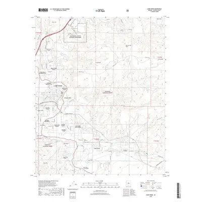 2018 Camp Verde2018 Print · USGSThe Verde River valley south of Montezuma Castle appears in this contemporary survey of Yavapai County. Genealogists and historians can trace the growth of Camp Verde and locate landmarks like Clear Creek Cem, the historic General Crook Trail, and Fort River Caves.
 - 2018 Map of Middle Verde, 2018 Print
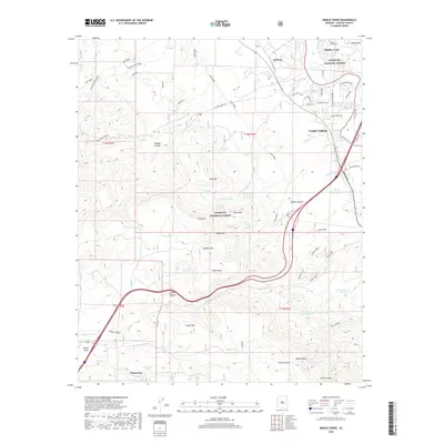 2018 Middle Verde2018 Print · USGSCamp Verde and its surrounding national forests are documented here during the late 2010s. Researchers can trace historic irrigation at Ok Ditch, visit the Middle Verde Cem, or follow the winding path of General Crook through the hills.
 - 2018 Map of Lake Montezuma, 2018 Print
 2018 Lake Montezuma2018 Print · USGSThe Verde Valley's high-desert landscape comes into focus during the late 2010s, showing the residential expansion of Lake Montezuma and McGuireville. Researchers can trace old forest routes and water tanks near Montezuma Castle National Monument and the Rimrock Airport.
 - 2018 Map of Cornville, 2018 Print
 2018 Cornville2018 Print · USGSThe Verde Valley during the late 2010s shows a landscape defined by historic irrigation and modern residential growth. Researchers can trace land use through the Cornville Ditch, locate the Middle Verde Yavapai Apache Cem, or explore the canyon country around Sugarloaf.
 - 2018 Map of Horner Mountain, 2018 Print
 2018 Horner Mountain2018 Print · USGSYavapai County during the late twenty-teens reveals a landscape of high mesas and vital springs bordering the Verde River. Genealogists and historians can trace routes like S Salt Mine Rd or locate remote landmarks such as Beasley Flat and Gospel Hollow.
 - 2021 Map of Cornville, 2021 Print
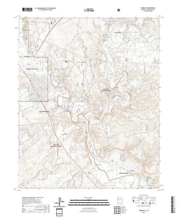 2021 Cornville2021 Print · USGSThe Verde River valley in the early twenty-first century is defined by its historic irrigation ditches and growing valley towns. Trace the evolution of local landmarks like All Souls Cem, the Verde River, and the community of Cornville.
 - 2021 Map of Horner Mountain, 2021 Print
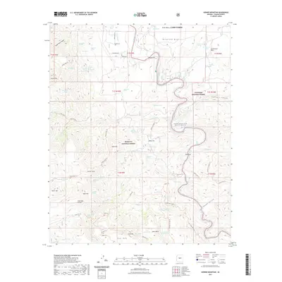 2021 Horner Mountain2021 Print · USGSThe river-carved valleys of Yavapai County are captured here in the early 2020s, centered on the Verde Wild and Scenic River. Local historians can trace back-country trails and water sources from Beasley Flat to North Mine Spring and the heights of Horner Mtn.
 - 2021 Map of Lake Montezuma, 2021 Print
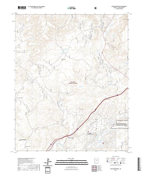 2021 Lake Montezuma2021 Print · USGSYavapai County's high desert landscape comes into focus in this recent survey of the Verde Valley. Trace modern developments alongside historic landmarks like Montezuma Castle National Monument, Rimrock Airport, and the Chaves Trl.
 - 2021 Map of Middle Verde, 2021 Print
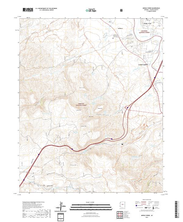 2021 Middle Verde2021 Print · USGSThe high desert of central Arizona meets the sprawling national forests in this contemporary record of the Verde Valley. Researchers can trace historic routes like the General Crook Trl and locate the Middle Verde Cem alongside landmarks like Grief Hill.
 - 2021 Map of Camp Verde, 2021 Print
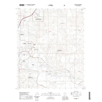 2021 Camp Verde2021 Print · USGSThe Yavapai County desert at the start of the 2020s shows a landscape defined by the Verde River and ancient monuments. Researchers can trace historic routes like the General Crook Trail and locate family landmarks near the Clear Creek-Cem and Fort River Caves.
 - 2023 Map of Horner Mountain, 2023 Print
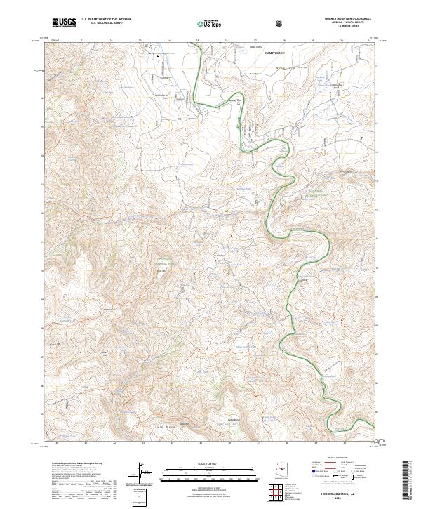 2023 Horner Mountain2023 Print · USGSThe Verde Valley and surrounding national forests are captured here during the early twenty-first century. Hikers and historians can trace an extensive trail network through the Cedar Bench Wilderness and identify remote water sources like Amerone Spring Number One and Gospel Hollow.
 - 2023 Map of Camp Verde, 2023 Print
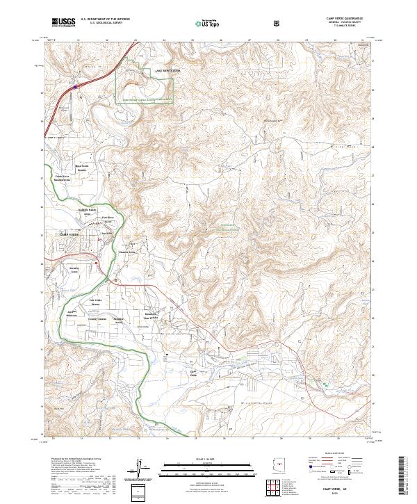 2023 Camp Verde2023 Print · USGSCamp Verde and the surrounding river valley are shown in contemporary detail, capturing the intersection of ancient history and modern growth. Researchers can trace the path of the General Crook Trail and locate family landmarks such as Reddells Ranch Acres or the Clear Creek Cem.
End of results
Showing maps 1-22 of 22
Top cities near Camp Verde
Top neighborhoods of Camp Verde
- Camp Verde historical maps
- Middle Verde historical maps
- Mesa Verde Estates historical maps
- Verde River Meadows One historical maps
- Fort River Caves historical maps
- Paradise Acres historical maps
See more
Frequently asked questions
- What are the different types of historical maps available for Camp Verde?
- What is the oldest map of Camp Verde?
- Where can I purchase historical maps of Camp Verde for my home or office?
- Where can I download high-res historical maps of Camp Verde?
- Are there historical topographic maps available for Camp Verde?
- Is there historical aerial imagery available for Camp Verde?
- Where are historical maps of Camp Verde sourced from?