2010s Maps of Clay County, Arkansas
Explore 51 historic maps of Clay County from the 2010s. These maps offer a rare glimpse into what life looked like during the 2010s — showing old roads, neighborhoods, homes, and landmarks that have changed or disappeared over time.
Whether you're researching your family's past, planning a metal detecting trip, or studying how Clay County's landscape evolved across the 2010s, these high-resolution maps are a powerful tool for exploring the history of this region.
- Focus on a specific era: All maps on this page are from the 2010s, giving you a focused view of this time period.
- See what’s changed: Compare century-old streets, trails, and buildings to today's modern landscape using overlays and satellite layers.
- Research with precision: Use these maps for genealogy, historical research, land use analysis, or educational projects.
- View, download, or print: Maps are fully viewable online in high resolution, and can be downloaded or printed for your own records.
Start exploring Clay County's history through authentic maps from the 2010s. This is your window into the past.
Clay County, AR maps
(51)- 2011 Map of Piggott, 2011 Print
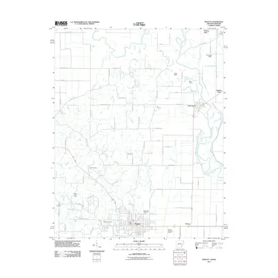 2011 Piggott2011 Print · USGSThe community of Piggott and the meandering Saint Francis River are shown here as they appeared in the early twenty-first century. Genealogists and local historians can trace family-named sites like McElyea Place or find long-established grounds at Hill Cemetery and Chalk Bluff.
 - 2011 Map of Kennett North, 2011 Print
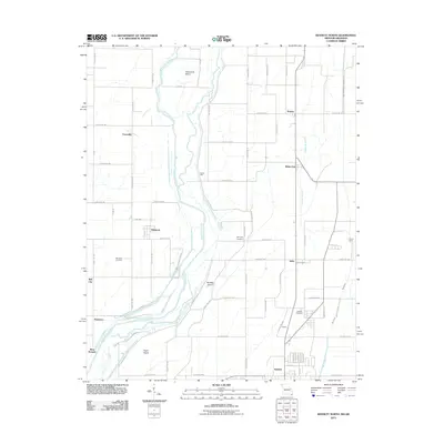 2011 Kennett North2011 Print · USGSDunklin County and the Arkansas borderlands appear in high detail during the early 2010s, showcasing a landscape of river islands and rural settlements. Researchers can trace family sites at Nimmons Cemetery or explore the drainage networks of Lateral Number 2 near White Oak.2 unique versions available
 - 2011 Map of Corning, 2011 Print
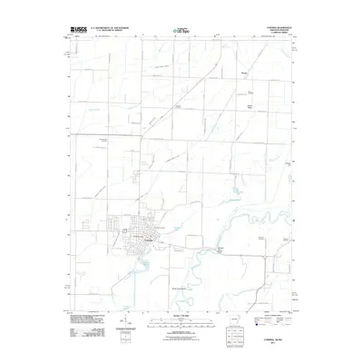 2011 Corning2011 Print · USGSCorning and the Black River bottoms appear here in the early twenty-first century, showing a landscape defined by water management and rural settlement. Genealogists can locate several historic burial sites, including Williams Cemetery, Redenbo Cemetery, and Moark Cemetery.
 - 2011 Map of Mounds, 2011 Print
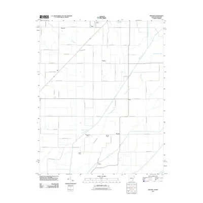 2011 Mounds2011 Print · USGSGreene County’s agricultural heartland is captured here in the early twenty-first century, showing the intricate network of drainage and rural roads. Genealogists and local historians can trace the areas around Reddick Cemetery, Horse Island Ridge, and the community of Mounds.
 - 2011 Map of Rector, 2011 Print
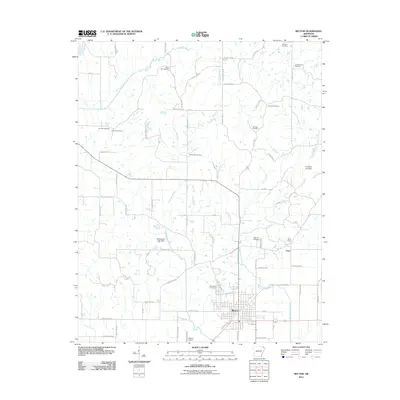 2011 Rector2011 Print · USGSRector and its surrounding Clay County farmlands are captured in the early twenty-first century, showcasing a transition from town to creek-fed countryside. Local historians can trace family sites at Woodland Cemetery, Marys Chapel, and the small settlement of Pratt.
 - 2011 Map of Supply, 2011 Print
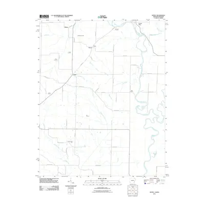 2011 Supply2011 Print · USGSThe Arkansas-Missouri borderlands at the start of the twenty-first century reveal a landscape of river-bend settlements and deep-rooted family history. Local researchers can trace family lines through several rural burial sites, including Old Pitman Cemetery, Ingram Cemetery, and Cox Cemetery.
 - 2011 Map of Campbell, 2011 Print
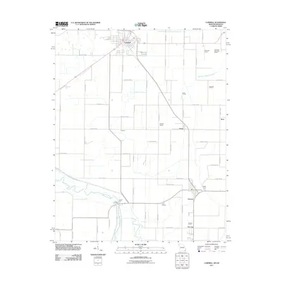 2011 Campbell2011 Print · USGSThe Missouri Bootheel near the Saint Francis River comes into sharp focus during the early twenty-first century. Genealogists and local historians can locate early burial grounds like Lloyd Cemetery and Lynne Oak Cemetery, or trace the old river crossing at Brown's Ferry.2 unique versions available
 - 2011 Map of Boydsville, 2011 Print
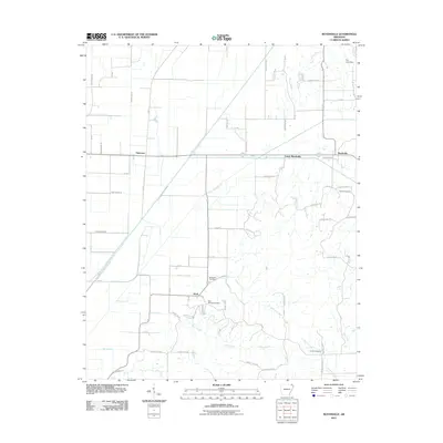 2011 Boydsville2011 Print · USGSThe rural landscape near Boydsville is shown in detail during the early twenty-first century, revealing a complex web of agricultural drainage ditches and natural creeks. Genealogists can locate Salem Cemetery, Rock Springs Cemetery, and the community of Knob.
 - 2011 Map of Peach Orchard, 2011 Print
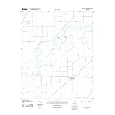 2011 Peach Orchard2011 Print · USGSNortheast Arkansas in the early twenty-first century is defined by its winding river systems and rural settlements. Genealogists and local historians can trace family locations near Peach Orchard or locate several community burial grounds including Nelson Cemetery and Allen Cemetery.
 - 2011 Map of Senath, 2011 Print
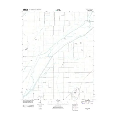 2011 Senath2011 Print · USGSDunklin County and the Arkansas borderlands appear in the early 2000s as a managed landscape of drainage canals and small settlements. Genealogists and local historians can locate Leonard Cemetery, Mitchell Mill, and the small community of White Oak.2 unique versions available
 - 2011 Map of Datto, 2011 Print
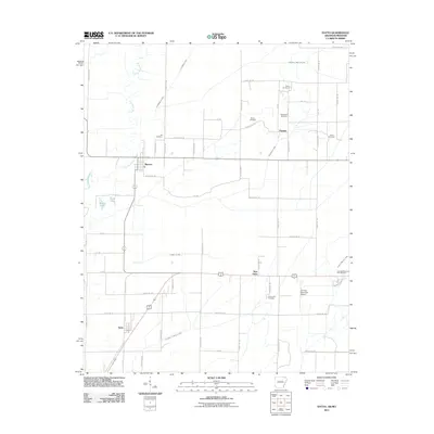 2011 Datto2011 Print · USGSClay County at the turn of the decade is shown through its intricate drainage networks and rural settlements along the Missouri border. Genealogists can trace family landmarks like Masterson Cemetery, Richwoods Cemetery, and the small community of Success.
 - 2011 Map of Reyno, 2011 Print
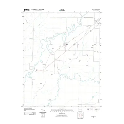 2011 Reyno2011 Print · USGSRandolph County's river-driven geography is documented here at the start of the 2010s, centered on the communities of Biggers and Reyno. Genealogists and local historians can trace family ties through numerous sites like Old Reyno Cemetery and Yellow Hall Cemetery, or locate old river crossings at Richardson Ferry.
 - 2011 Map of Pollard, 2011 Print
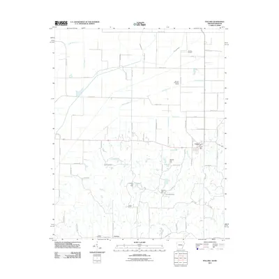 2011 Pollard2011 Print · USGSClay County at the start of the 2010s reveals a precision-drained agricultural landscape centered on the communities of Pollard and Crockett. Researchers can trace local heritage through numerous burial sites like Cummings Cemetery and Hardin Cemetery or explore the drainage network of Fish Trap Slough.
 - 2011 Map of Knobel, 2011 Print
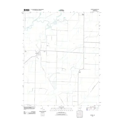 2011 Knobel2011 Print · USGSKnobel and its surrounding Clay County farmlands are documented here at the start of the twenty-first century. Researchers can locate family sites near Saint Bernard Cemetery, trace the winding Black River, or find the settlement of Walnut Grove.
 - 2011 Map of Kennett South, 2011 Print
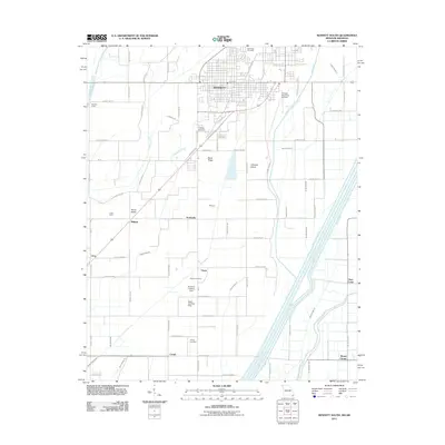 2011 Kennett South2011 Print · USGSThe Missouri bootheel comes into focus in the early twenty-first century, showing a landscape defined by industrial-scale drainage. Trace the network of Little River and West Ditch past local landmarks like Scobeville and the Bootheel Landing Strip.2 unique versions available
 - 2011 Map of Greenway, 2011 Print
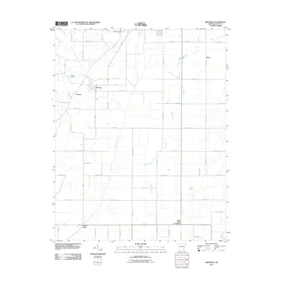 2011 Greenway2011 Print · USGSClay County's rural agricultural heartland is documented here in the early twenty-first century, showing the drainage systems and road grids that define the region. Genealogists can locate Piggott Cemetery and Winston Cemetery or trace family roots in settlements like Greenway and Holly Island Community.
 - 2011 Map of McDougal, 2011 Print
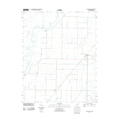 2011 McDougal2011 Print · USGSThe northeastern Arkansas bottomlands near the Missouri border appear here in the early twenty-first century as a landscape of precision drainage and river meanders. Researchers can trace the winding Black River near Moark Landing or locate old corridors like Tram Rd near the town of McDougal.
 - 2014 Map of Reyno, 2014 Print
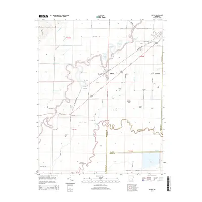 2014 Reyno2014 Print · USGSReyno and Biggers are situated at a complex junction of the Current and Black Rivers in these early 21st-century surveys. Researchers can locate numerous family-named burial grounds like Johnston Cem and Scott Cem or trace the early settlement at Old Reyno.
 - 2014 Map of Datto, 2014 Print
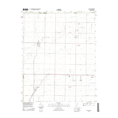 2014 Datto2014 Print · USGSClay County at the Arkansas-Missouri border is mapped here in the modern era, showing a landscape defined by industrial agriculture and small-town life. Genealogists can locate family sites at Masterson Cem and Green Cem, or trace the development of Success and Palatka.
 - 2014 Map of Greenway, 2014 Print
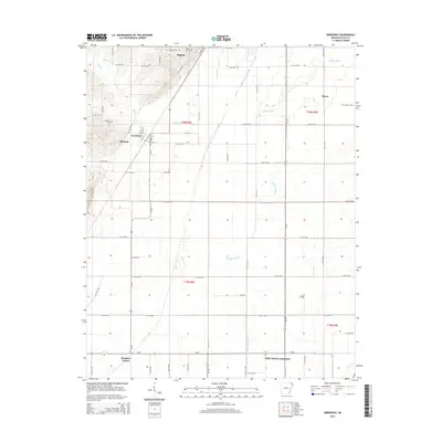 2014 Greenway2014 Print · USGSClay County at the start of the 2010s reveals a structured agricultural landscape centered on Piggott and Greenway. Researchers can trace local lineage through sites like Piggott Cemetery and Winston Cemetery or explore the rural Holly Island Community.
 - 2014 Map of Knobel, 2014 Print
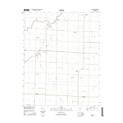 2014 Knobel2014 Print · USGSKnobel and its surrounding Clay County agricultural lands are captured here in the early twenty-first century. Genealogists and local researchers can trace family sites at Saint Bernard Cem, Bond Cem, or Gilchrist Cem and follow the routes of AR-90 and AR-135.
 - 2014 Map of Peach Orchard, 2014 Print
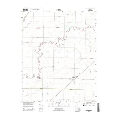 2014 Peach Orchard2014 Print · USGSPeach Orchard and Brookings are mapped here in the mid-2010s as they sit among the complex bends of the Black River and Little River. Genealogists and local historians can trace family connections at Nelson Cem, Albrite Cem, and the crossing at Hubble Bridge.
 - 2014 Map of Rector, 2014 Print
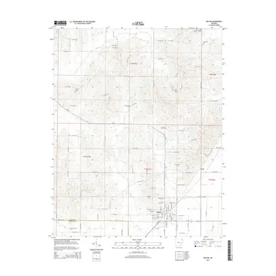 2014 Rector2014 Print · USGSThe city of Rector and the rising ground of Crowleys Ridge dominate this northeastern Arkansas landscape. Local historians can trace family roots through numerous country burial sites like Trovillion Cem, Marys Cem, and Woodland Cem.
 - 2014 Map of Pollard, 2014 Print
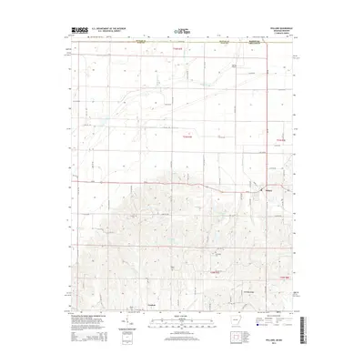 2014 Pollard2014 Print · USGSClay County at the Missouri border reveals the sharp transition from the Mississippi embayment's drainage ditches to the rising ground of the ridge. Trace family history at Crockett Cem or Hardin Cem, and locate landmarks like Pollard and the Ark-Mo Airport.
 - 2014 Map of Boydsville, 2014 Print
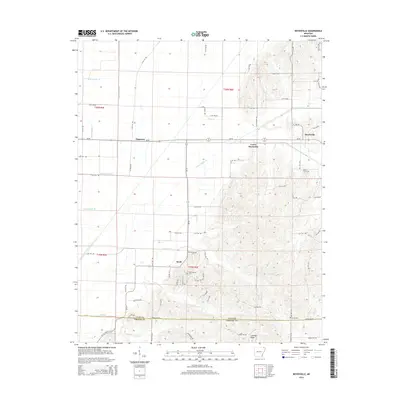 2014 Boydsville2014 Print · USGSClay and Greene counties are seen here at the foot of Crowleys Ridge in the early 2010s. Researchers can trace rural cemeteries such as Rock Springs Cem and Purcel Cem alongside the historic settlements of Boydsville and Knob.
Showing maps 1-25 of 51
Top cities of Clay County
- Piggott historical maps
- Corning historical maps
- Rector historical maps
- Saint Francis historical maps
- Pollard historical maps
- Greenway historical maps
See more
Frequently asked questions
- What are the different types of historical maps available for Clay County?
- What is the oldest map of Clay County?
- Where can I purchase historical maps of Clay County for my home or office?
- Where can I download high-res historical maps of Clay County?
- Are there historical topographic maps available for Clay County?
- Is there historical aerial imagery available for Clay County?
- Where are historical maps of Clay County sourced from?