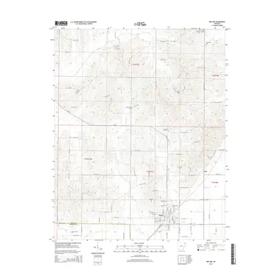
2014 Map of Rector
USGS Topo · Published 2014About this map
Crowleys Ridge rises above the flat agricultural plains of Clay County, providing a distinct geographic spine through this northeast Arkansas landscape. The city of Rector sits at the eastern foot of this ridge, serving as a hub for the surrounding rural sections. The township system is clearly visible here, with a dense grid of county roads such as Clay 450 Rd and Clay 430 Rd connecting isolated farmsteads and historic community centers.
Find a feature on this map
81 named features on this map. Tap any name to fly to it.
Don’t see what you’re looking for? This feature index may not catch every label — zoom into the map to look around manually.
Map Details
Editions of this 2014 Rector Map
This is the sole edition of this map. No revisions or reprints were ever made.
Other maps of this area

1934 · Kennett
USGS Topo · 1:62,500

1935 · Rector
USGS Topo · 1:62,500

1940 · Marmaduke
USGS Topo · 1:62,500

1940 · Kennett
USGS Topo · 1:62,500

1940 · Piggott
USGS Topo · 1:62,500

1956 · Kennett
USGS Topo · 1:62,500

1956 · Piggott
USGS Topo · 1:62,500

1957 · Poplar Bluff
USGS Topo · 1:250,000

1958 · Marmaduke
USGS Topo · 1:62,500

1958 · Rector
USGS Topo · 1:62,500