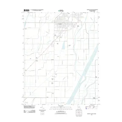
2011 Map of Kennett South
USGS Topo · Published 2011About this map
Kennett dominates the northern edge of this Missouri bootheel landscape, where a dense grid of agricultural drainage reflects the intensive management of the Lowlands. The territory is defined by an intricate network of man-made waterways, including the Little River, Elk Chute Ditch, and West Ditch, along with numerous laterals like Lateral Number 1. These systems surround localized rises such as Sand Ridge and Johnson Island, which provided higher ground in an otherwise level, aqueous environment.
Find a feature on this map
82 named features on this map. Tap any name to fly to it.
Don’t see what you’re looking for? This feature index may not catch every label — zoom into the map to look around manually.
Map Details
Editions of this 2011 Kennett South Map
2 editions found
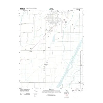
Other maps of this area

1934 · Kennett
USGS Topo · 1:62,500

1940 · Pascola
USGS Topo · 1:62,500

1940 · Kennett
USGS Topo · 1:62,500

1940 · Hayti
USGS Topo · 1:62,500

1940 · Piggott
USGS Topo · 1:62,500

1955 · Pascola
USGS Topo · 1:62,500

1955 · Hayti
USGS Topo · 1:62,500

1956 · Kennett
USGS Topo · 1:62,500

1956 · Piggott
USGS Topo · 1:62,500

1956 · Dyersburg
USGS Topo · 1:250,000