2020s Maps of Howard County, Arkansas
Explore 38 historic maps of Howard County from the 2020s. These maps offer a rare glimpse into what life looked like during the 2020s — showing old roads, neighborhoods, homes, and landmarks that have changed or disappeared over time.
Whether you're researching your family's past, planning a metal detecting trip, or studying how Howard County's landscape evolved across the 2020s, these high-resolution maps are a powerful tool for exploring the history of this region.
- Focus on a specific era: All maps on this page are from the 2020s, giving you a focused view of this time period.
- See what’s changed: Compare century-old streets, trails, and buildings to today's modern landscape using overlays and satellite layers.
- Research with precision: Use these maps for genealogy, historical research, land use analysis, or educational projects.
- View, download, or print: Maps are fully viewable online in high resolution, and can be downloaded or printed for your own records.
Start exploring Howard County's history through authentic maps from the 2020s. This is your window into the past.
Howard County, AR maps
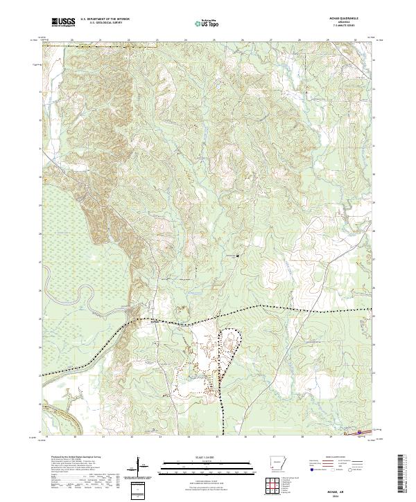
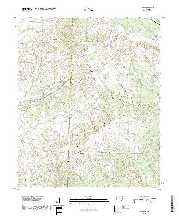
(38)- 2020 Map of Columbus, 2020 Print
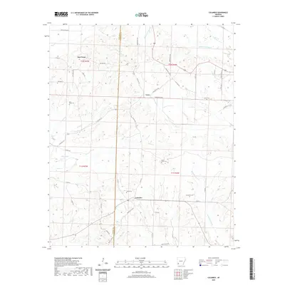 2020 Columbus2020 Print · USGSCovers Howard County, including Columbus, Schooley, and other nearby areas
 - 2020 Map of Nashville, 2020 Print
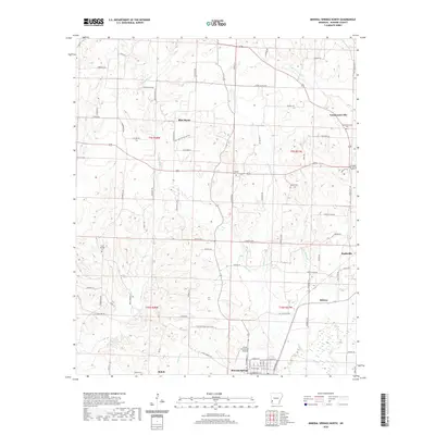
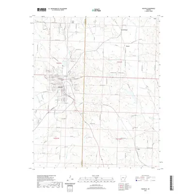 2020 Nashville2020 Print · USGSCovers Howard County, including Nashville, Unity, and other nearby areas
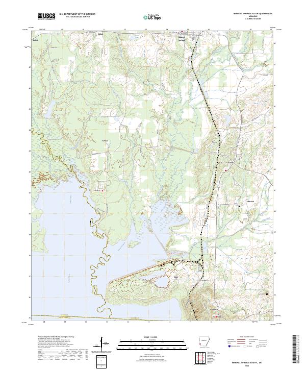
 - 2020 Map of Mineral Springs South, 2020 Print
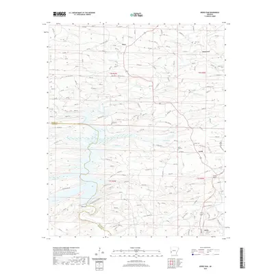
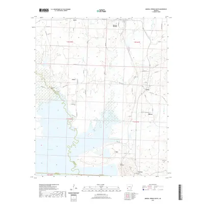 2020 Mineral Springs South2020 Print · USGSCovers Howard County, including Mineral Springs, Tollette, and other nearby areas
 - 2020 Map of McNab, 2020 Print
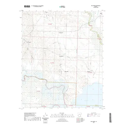
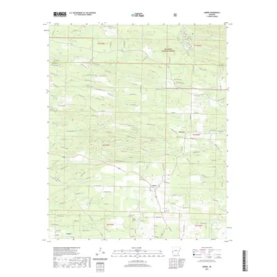
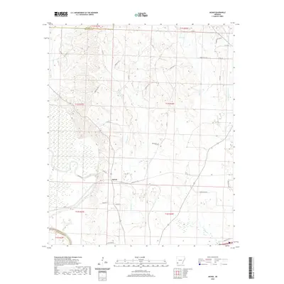 2020 McNab2020 Print · USGSCovers Howard County, including McNab, Hempstead County, and other nearby areas
 - 2020 Map of Mineral Springs North, 2020 Print
 2020 Mineral Springs North2020 Print · USGSCovers Howard County, including Nashville, Mineral Springs, and other nearby areas
 - 2020 Map of Silver Ridge, 2020 Print
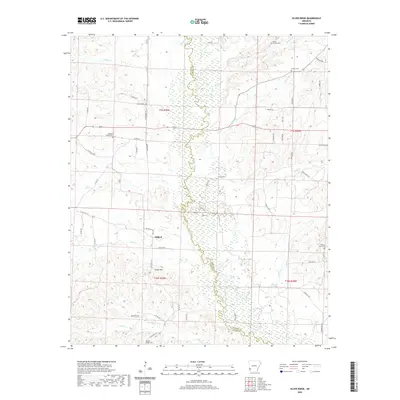 2020 Silver Ridge2020 Print · USGSCovers Howard County, including Milford, Silver Ridge, and other nearby areas
 - 2020 Map of Ben Lomond, 2020 Print
 2020 Ben Lomond2020 Print · USGSCovers Howard County, including Ben Lomond, Shiloh, and other nearby areas
 - 2020 Map of Red Bluff, 2020 Print
 2020 Red Bluff2020 Print · USGSCovers Howard County, including Orton, Millwood, and other nearby areas
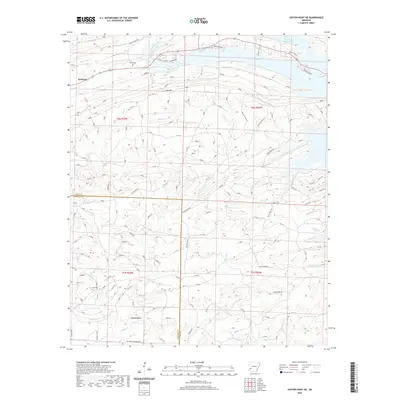
 - 2020 Map of Center Point, 2020 Print
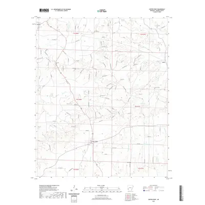 2020 Center Point2020 Print · USGSCovers Howard County, including Dierks, Center Point, and other nearby areas
 - 2020 Map of Nathan, 2020 Print
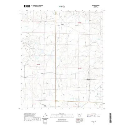 2020 Nathan2020 Print · USGSCovers Howard County, including Highland, Reed, and other nearby areas
 - 2020 Map of Newhope, 2020 Print
 2020 Newhope2020 Print · USGSCovers Howard County, including Newhope, Green Plains, and other nearby areas
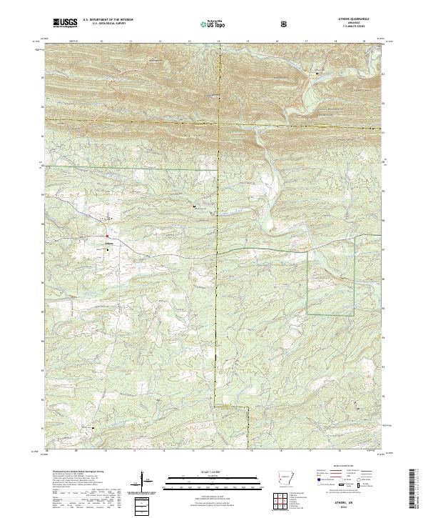
 - 2020 Map of Athens, 2020 Print
 2020 Athens2020 Print · USGSCovers Howard County, including Albert, Henry, and other nearby areas
 - 2020 Map of Center Point NE, 2020 Print
 2020 Center Point NE2020 Print · USGSCovers Howard County, including Daisy, Pike County, and other nearby areas
 - 2020 Map of Gillham Dam, 2020 Print
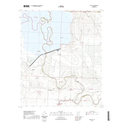
 2020 Gillham Dam2020 Print · USGSCovers Howard County, including Polk County, Sevier County, and other nearby areas
 - 2020 Map of Baker Springs, 2020 Print
 2020 Baker Springs2020 Print · USGSCovers Howard County, including Duckett Ford, Duckett, and other nearby areas
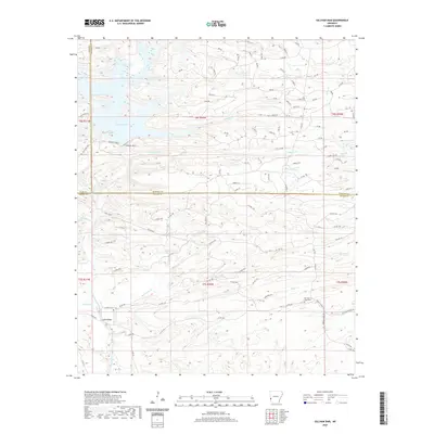
 - 2020 Map of Wickes, 2020 Print
 2020 Wickes2020 Print · USGSCovers Howard County, including Wickes, Grannis, and other nearby areas
 - 2020 Map of Dierks, 2020 Print
 2020 Dierks2020 Print · USGSCovers Howard County, including Dierks, Mount Carmel, and other nearby areas
 - 2020 Map of Dierks Dam, 2020 Print
 2020 Dierks Dam2020 Print · USGSCovers Howard County, including Dierks, Davis Ford, and other nearby areas
 - 2020 Map of Umpire, 2020 Print
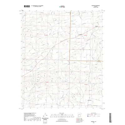
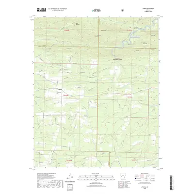
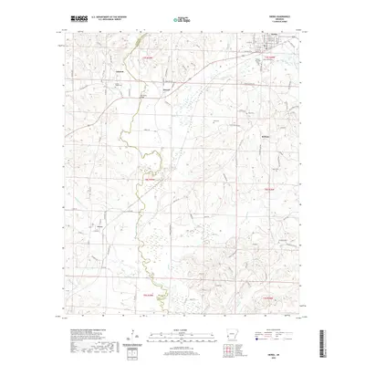
 2020 Umpire2020 Print · USGSCovers Howard County, including Umpire, Galena, and other nearby areas
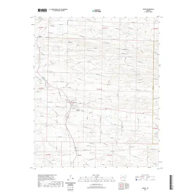
 - 2024 Map of Nashville, 2024 Print
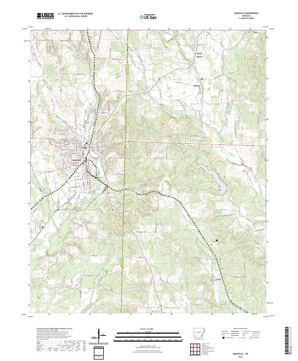 2024 Nashville2024 Print · USGSThe community of Nashville and its surrounding townships are documented here during the mid-2020s as the regional hub for Howard and Hempstead counties. Local researchers can locate family landmarks like Nashville Cem and Cummings Cem or trace the rural corners of Bingen and Clow.
 - 2024 Map of McNab, 2024 Print
 2024 McNab2024 Print · USGSThe community of McNab and its surrounding river bottoms are documented in this contemporary survey of Hempstead County. Researchers can trace local landmarks like the Whitehouse Cem or follow the paths of Allen's Ferry Rd and Yellow Creek.
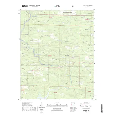
 - 2024 Map of Mineral Springs South, 2024 Print
 2024 Mineral Springs South2024 Print · USGSHoward County's riverfront and rural settlements are captured here in the contemporary era. Researchers can locate family landmarks like Shirley Cem, trace the course of the Saline River, and explore the layout of Tollette and Saratoga.
 - 2024 Map of Columbus, 2024 Print
 2024 Columbus2024 Print · USGSHempstead and Howard counties are captured in this recent survey, showcasing a landscape of creek-side settlements and rural cemeteries. Genealogists can trace family names at Buck Range Cem, Gamble Cem, and Section Sixteen Cem near the community of Columbus.
 - 2024 Map of Athens, 2024 Print
 2024 Athens2024 Print · USGSThe borderlands of Howard and Montgomery Counties come alive in this recent survey of the southern Ouachitas. Researchers can trace the timber-industry footprint along the W Old Tram Rd or locate ancestral burial sites like Putman Cem and Athens Cem.
 - 2024 Map of Newhope, 2024 Print
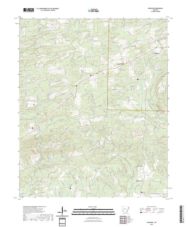 2024 Newhope2024 Print · USGSThe rural timberlands and creek bottoms of western Arkansas are captured here in the early twenty-first century. Genealogists and local historians can trace family roots through numerous sites like Antioch Cem, Grandfield, and Green Plains Cem.
Showing maps 1-25 of 38
Top cities of Howard County
- Nashville historical maps
- Mineral Springs historical maps
- Dierks historical maps
- Tollette historical maps
Frequently asked questions
- What are the different types of historical maps available for Howard County?
- What is the oldest map of Howard County?
- Where can I purchase historical maps of Howard County for my home or office?
- Where can I download high-res historical maps of Howard County?
- Are there historical topographic maps available for Howard County?
- Is there historical aerial imagery available for Howard County?
- Where are historical maps of Howard County sourced from?