2020s Maps of Pike County, Arkansas
Explore 36 historic maps of Pike County from the 2020s. These maps offer a rare glimpse into what life looked like during the 2020s — showing old roads, neighborhoods, homes, and landmarks that have changed or disappeared over time.
Whether you're researching your family's past, planning a metal detecting trip, or studying how Pike County's landscape evolved across the 2020s, these high-resolution maps are a powerful tool for exploring the history of this region.
- Focus on a specific era: All maps on this page are from the 2020s, giving you a focused view of this time period.
- See what’s changed: Compare century-old streets, trails, and buildings to today's modern landscape using overlays and satellite layers.
- Research with precision: Use these maps for genealogy, historical research, land use analysis, or educational projects.
- View, download, or print: Maps are fully viewable online in high resolution, and can be downloaded or printed for your own records.
Start exploring Pike County's history through authentic maps from the 2020s. This is your window into the past.
Pike County, AR maps
(36)- 2020 Map of Piney Grove, 2020 Print
 2020 Piney Grove2020 Print · USGSCovers Pike County, including Piney Grove, Bowen, and other nearby areas
 - 2020 Map of Okolona South, 2020 Print
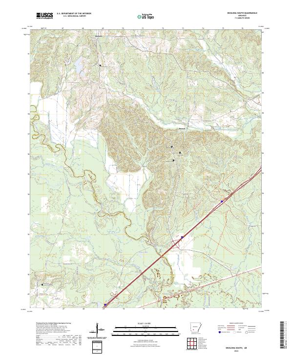
 2020 Okolona South2020 Print · USGSCovers Pike County, including Okolona, Burtsell, and other nearby areas
 - 2020 Map of Pisgah, 2020 Print
 2020 Pisgah2020 Print · USGSCovers Pike County, including Blevins, Dotson, and other nearby areas
 - 2020 Map of McCaskill, 2020 Print
 2020 McCaskill2020 Print · USGSCovers Pike County, including McCaskill, Hempstead County, and other nearby areas
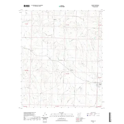
 - 2020 Map of Amity, 2020 Print
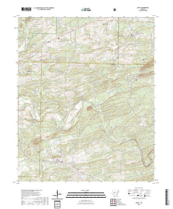
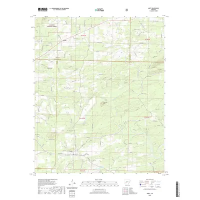 2020 Amity2020 Print · USGSCovers Pike County, including Amity, Welsh, and other nearby areas
 - 2020 Map of Murfreesboro NE, 2020 Print
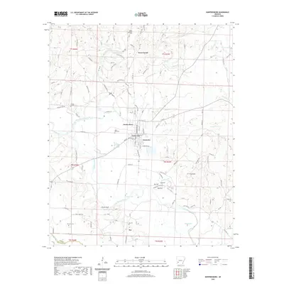
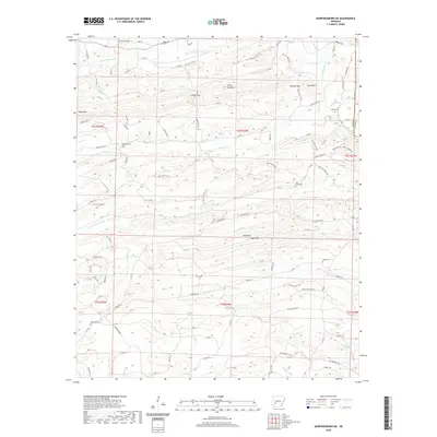 2020 Murfreesboro NE2020 Print · USGSCovers Pike County, including Clark County, United States, and other nearby areas
 - 2020 Map of Glenwood, 2020 Print
 2020 Glenwood2020 Print · USGSCovers Pike County, including Segur, Rosboro, and other nearby areas
 - 2020 Map of Nathan, 2020 Print
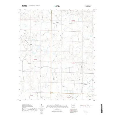 2020 Nathan2020 Print · USGSCovers Pike County, including Highland, Reed, and other nearby areas
 - 2020 Map of Delight, 2020 Print
 2020 Delight2020 Print · USGSCovers Pike County, including Delight, Pike City, and other nearby areas
 - 2020 Map of Newhope, 2020 Print
 2020 Newhope2020 Print · USGSCovers Pike County, including Newhope, Green Plains, and other nearby areas
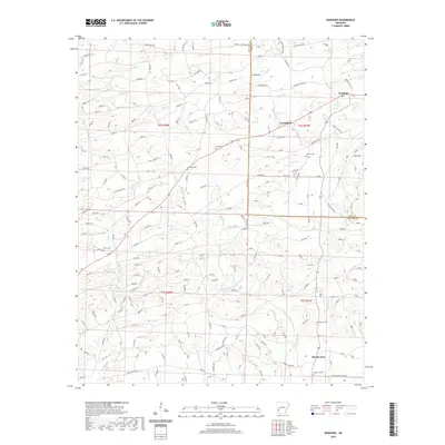
 - 2020 Map of Murfreesboro, 2020 Print
 2020 Murfreesboro2020 Print · USGSCovers Pike County, including Murfreesboro, Mount Moriah, and other nearby areas
 - 2020 Map of Athens, 2020 Print
 2020 Athens2020 Print · USGSCovers Pike County, including Albert, Henry, and other nearby areas
 - 2020 Map of Center Point NE, 2020 Print
 2020 Center Point NE2020 Print · USGSCovers Pike County, including Daisy, Howard County, and other nearby areas
 - 2020 Map of Chalybeate Mountain West, 2020 Print
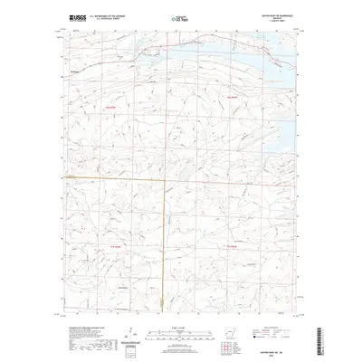
 2020 Chalybeate Mountain West2020 Print · USGSCovers Pike County, including Graysonia, Nutts, and other nearby areas
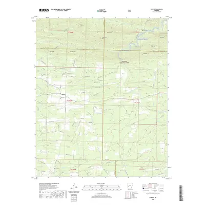
 - 2020 Map of Antoine, 2020 Print
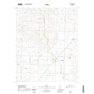 2020 Antoine2020 Print · USGSCovers Pike County, including Delight, Antoine, and other nearby areas
 - 2020 Map of Narrows Dam, 2020 Print
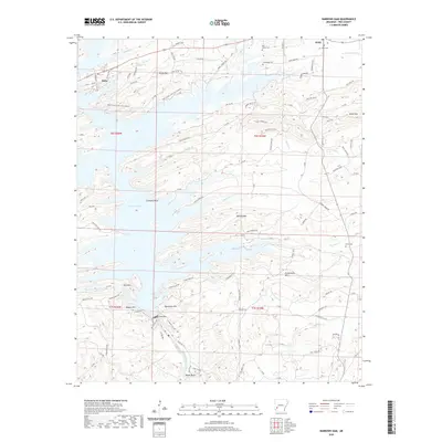 2020 Narrows Dam2020 Print · USGSCovers Pike County, including Daisy, United States, and other nearby areas
 - 2020 Map of Langley, 2020 Print
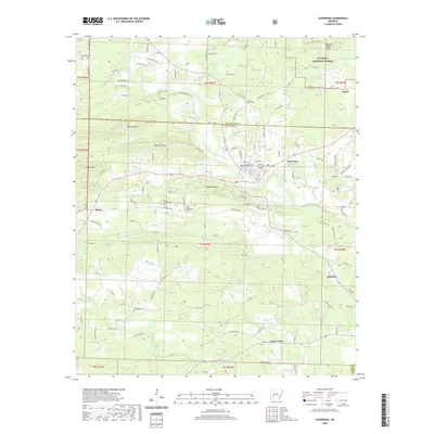
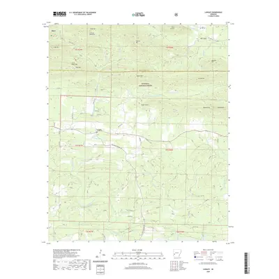 2020 Langley2020 Print · USGSCovers Pike County, including Langley, Montgomery County, and other nearby areas
 - 2020 Map of Lodi, 2020 Print
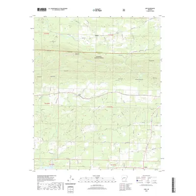 2020 Lodi2020 Print · USGSCovers Pike County, including Hopper, Lodi, and other nearby areas
 - 2024 Map of Pisgah, 2024 Print
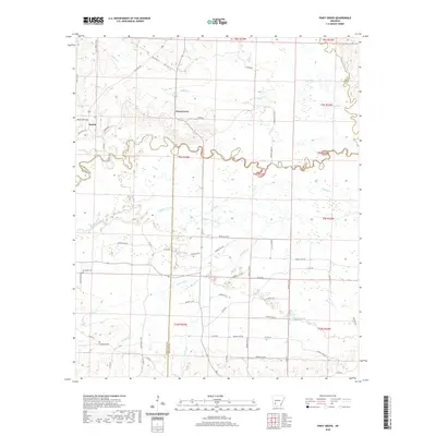
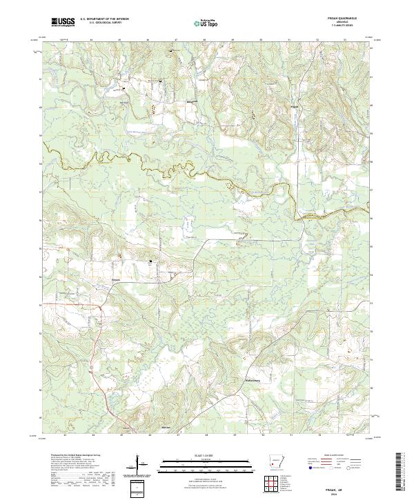 2024 Pisgah2024 Print · USGSHempstead County's bottomlands and rural communities are preserved here in the 2020s, centered on the winding Little Missouri River. Genealogists can trace family landmarks through sites like Billstown Cem, Maxwell Cem, and the community of Wallaceburg.
 - 2024 Map of Okolona South, 2024 Print
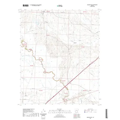
 2024 Okolona South2024 Print · USGSThe Clark County countryside southwest of Arkadelphia comes to life in this modern topographic view of rural Arkansas. Researchers can trace the heritage of vanished communities through sites like Old Rome Cem, Burtsell, and the Missionary Grove Church Cem.
 - 2024 Map of Chalybeate Mountain West, 2024 Print
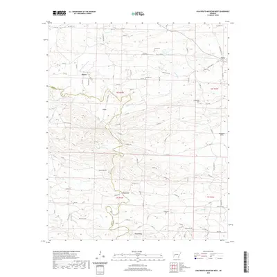
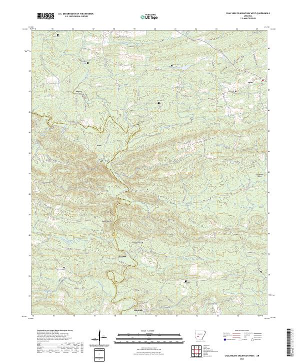 2024 Chalybeate Mountain West2024 Print · USGSSouthwest Arkansas at the edge of the Ouachita foothills remains a place of quiet rural crossroads and historic family burial grounds. Local historians can trace the paths between Majors, Shawmut, and Graysonia or locate numerous landmarks like Garner Cem and Round Top Mtn.
 - 2024 Map of Athens, 2024 Print
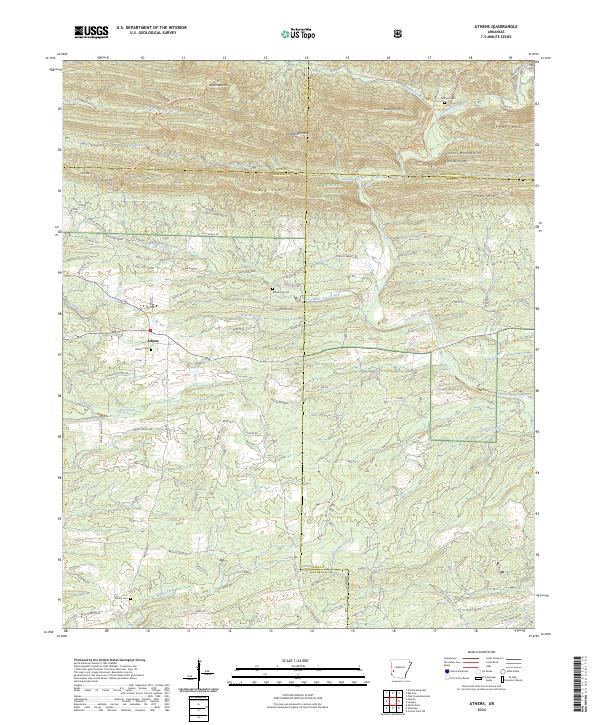 2024 Athens2024 Print · USGSThe borderlands of Howard and Montgomery Counties come alive in this recent survey of the southern Ouachitas. Researchers can trace the timber-industry footprint along the W Old Tram Rd or locate ancestral burial sites like Putman Cem and Athens Cem.
 - 2024 Map of Langley, 2024 Print
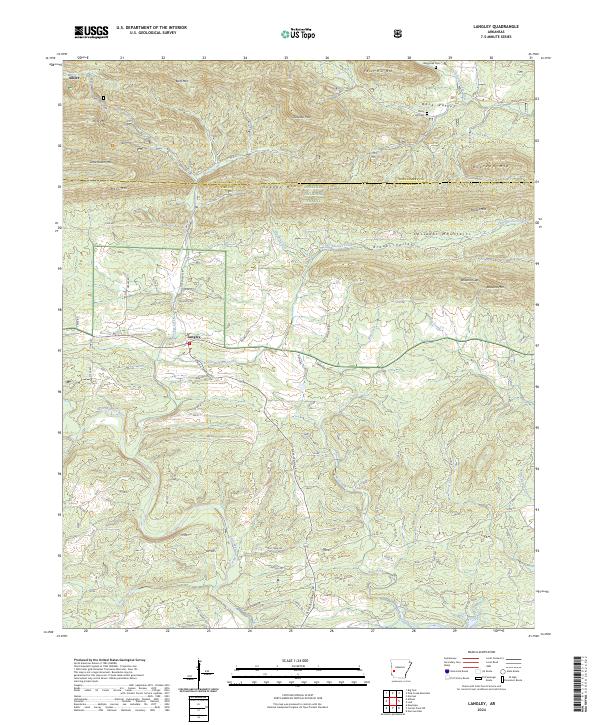 2024 Langley2024 Print · USGSThe southern Ouachita Mountains come into sharp focus in this recent survey of the Pike and Montgomery county line. Genealogists and local researchers can trace the roads connecting Langley and Fancy Hill, locating family landmarks like Fancy Hill Cem and Waggoner Cem.
 - 2024 Map of Newhope, 2024 Print
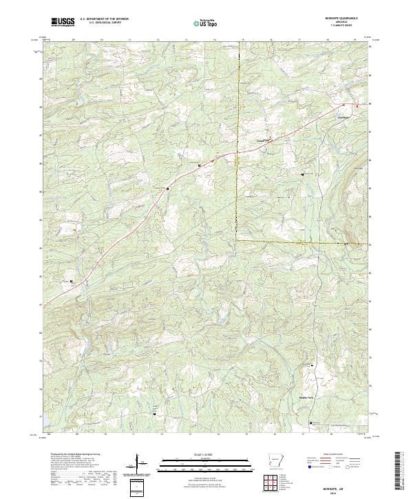 2024 Newhope2024 Print · USGSThe rural timberlands and creek bottoms of western Arkansas are captured here in the early twenty-first century. Genealogists and local historians can trace family roots through numerous sites like Antioch Cem, Grandfield, and Green Plains Cem.
 - 2024 Map of Amity, 2024 Print
 2024 Amity2024 Print · USGSThe Ouachita foothills meet the Caddo River in this rural Arkansas landscape during the early twenty-first century. Researchers can trace family history through numerous rural burial sites like Newcomb Cem and Shiloh Cem or locate the Amity Methodist Church.
Showing maps 1-25 of 36
Top cities of Pike County
Frequently asked questions
- What are the different types of historical maps available for Pike County?
- What is the oldest map of Pike County?
- Where can I purchase historical maps of Pike County for my home or office?
- Where can I download high-res historical maps of Pike County?
- Are there historical topographic maps available for Pike County?
- Is there historical aerial imagery available for Pike County?
- Where are historical maps of Pike County sourced from?