2010s Maps of Pike County, Arkansas
Explore 54 historic maps of Pike County from the 2010s. These maps offer a rare glimpse into what life looked like during the 2010s — showing old roads, neighborhoods, homes, and landmarks that have changed or disappeared over time.
Whether you're researching your family's past, planning a metal detecting trip, or studying how Pike County's landscape evolved across the 2010s, these high-resolution maps are a powerful tool for exploring the history of this region.
- Focus on a specific era: All maps on this page are from the 2010s, giving you a focused view of this time period.
- See what’s changed: Compare century-old streets, trails, and buildings to today's modern landscape using overlays and satellite layers.
- Research with precision: Use these maps for genealogy, historical research, land use analysis, or educational projects.
- View, download, or print: Maps are fully viewable online in high resolution, and can be downloaded or printed for your own records.
Start exploring Pike County's history through authentic maps from the 2010s. This is your window into the past.
Pike County, AR maps
(54)- 2011 Map of Pisgah, 2011 Print
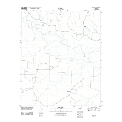 2011 Pisgah2011 Print · USGSThe rural river bottoms of Hempstead and Pike counties come into focus during the early twenty-first century. Genealogists can locate family burial grounds including Billstown Cemetery and Harris Cemetery near the banks of the Little Missouri River.
 - 2011 Map of Piney Grove, 2011 Print
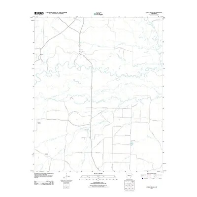 2011 Piney Grove2011 Print · USGSPike County's rural river valleys are shown in detail here just after the turn of the century. Genealogists and local historians can trace family land near Piney Grove or locate the quiet grounds of Ebenezer Cemetery and Elizabeth Cemetery.
 - 2011 Map of McCaskill, 2011 Print
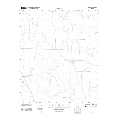 2011 McCaskill2011 Print · USGSMcCaskill and the surrounding Hempstead County timberlands appear in high detail during the early twenty-first century. Researchers can trace family-named landmarks and water resources like Young Cemetery, Lake Harris Dam, and the C J Erwin Estate Lake Dam.
 - 2011 Map of Okolona South, 2011 Print
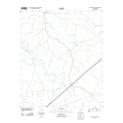 2011 Okolona South2011 Print · USGSOkolona and Burtsell sit amidst the river-bottoms and creek flats of Clark County during the early twenty-first century. Genealogists can trace family heritage through the sites of the Okolona Cemetery, Old Rome Cemetery, and the banks of the Little Missouri River.
 - 2011 Map of Amity, 2011 Print
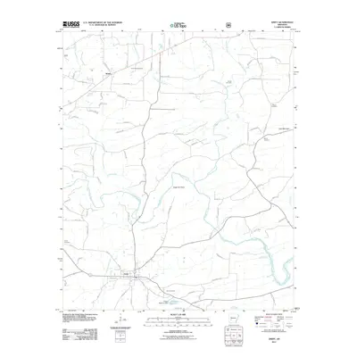 2011 Amity2011 Print · USGSAmity and the Caddo River valley are documented here in the early twenty-first century, showing the rural road networks and traditional family settlements of Clark County. Genealogists can trace property vicinities near Newcomb Cemetery, Shiloh Cemetery, and the community of Welsh.
 - 2011 Map of Murfreesboro NE, 2011 Print
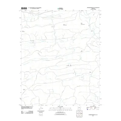 2011 Murfreesboro NE2011 Print · USGSClark County highlands meet the river valleys in the early twenty-first century, showcasing a landscape of timbered ridges and family cemeteries. Genealogists can trace local heritage at Wall Creek Cemetery, Woods Cemetery, and the river crossing at Lyons Ford.
 - 2011 Map of Narrows Dam, 2011 Print
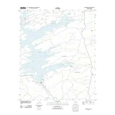 2011 Narrows Dam2011 Print · USGSPike County at the turn of the decade reveals the intricate shoreline of Lake Greeson and the engineering of the Narrows Dam. Genealogists and researchers can locate the Kirby Post Office and scattered rural burial grounds like Bear Creek Cemetery and Cummings Cemetery.
 - 2011 Map of Nathan, 2011 Print
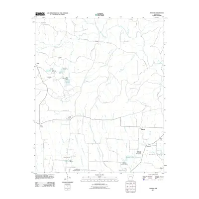 2011 Nathan2011 Print · USGSPike County settlements and water management projects are well-documented in this early twenty-first-century survey of the Arkansas countryside. Family history researchers can locate several burial grounds including Polk and Ebenezer Cemetery, while tracing old routes through Corinth and Highland.
 - 2011 Map of Langley, 2011 Print
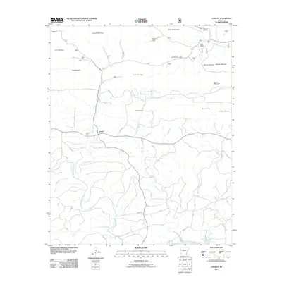 2011 Langley2011 Print · USGSThe peaks and valleys of the Cossatot Mountains are mapped in detail here during the early twenty-first century. Researchers can locate the McKnight Barite Mine, trace the Little Missouri River, and find the Fancy Hill Cemetery.
 - 2011 Map of Glenwood, 2011 Print
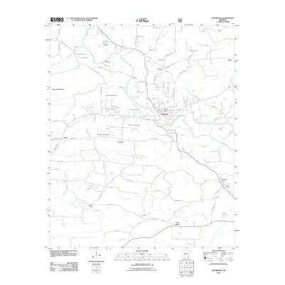 2011 Glenwood2011 Print · USGSThe river valleys of West-Central Arkansas are captured here in the early twenty-first century, centered on the hub of Glenwood. Local historians can trace generations of settlement through numerous burial grounds like Steller Cemetery and County Line Cemetery, or locate old industrial sites like the Pigeon Roost Mine.
 - 2011 Map of Lodi, 2011 Print
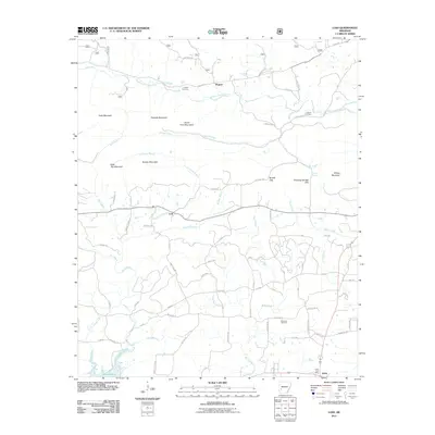 2011 Lodi2011 Print · USGSSettlements and mountain gaps mark this Montgomery County landscape in the early twenty-first century as the Ouachita foothills meet the plains. Researchers can locate family burial grounds at Hopper Cemetery and Palestine Cemetery, or trace the winding Antoine River.
 - 2011 Map of Athens, 2011 Print
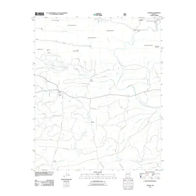 2011 Athens2011 Print · USGSNear the Cossatot Mountains in the early twenty-first century, this Arkansas landscape centers on the mountain settlement of Athens. Researchers can trace old family burial grounds like Putman Cemetery and White Oak Cemetery or explore the river corridor near the Albert Pike Recreation Area.
 - 2011 Map of Delight, 2011 Print
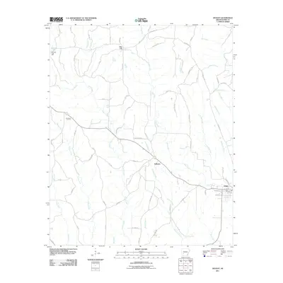 2011 Delight2011 Print · USGSPike County at the start of the 2010s reveals a rural landscape shaped by timber roads and winding creeks. Genealogists and local historians can trace family locations near Stelltown, Pike City, and the Brocktown Cemetery.
 - 2011 Map of Chalybeate Mountain West, 2011 Print
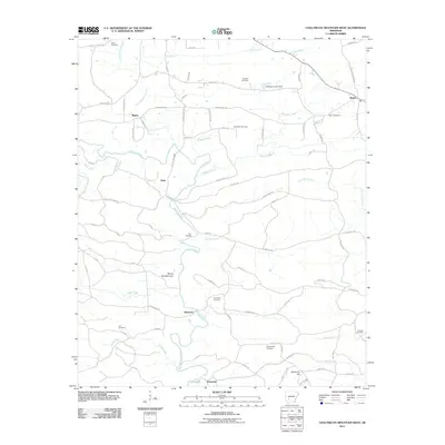 2011 Chalybeate Mountain West2011 Print · USGSThe Antoine River valley in Southwest Arkansas remains a landscape of small settlements and family history in the early twenty-first century. Genealogists can locate several memorial sites, including Straightway Cemetery, Humphrey Cemetery, and the community of Graysonia.
 - 2011 Map of Antoine, 2011 Print
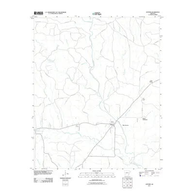 2011 Antoine2011 Print · USGSThe rural landscape of southwestern Arkansas is documented here in the early 2000s, centered on the community of Antoine. Researchers can trace local heritage and family sites through the locations of the Antoine Cemetery, Meeks Settlement, and the Lamb Cemetery.
 - 2011 Map of Newhope, 2011 Print
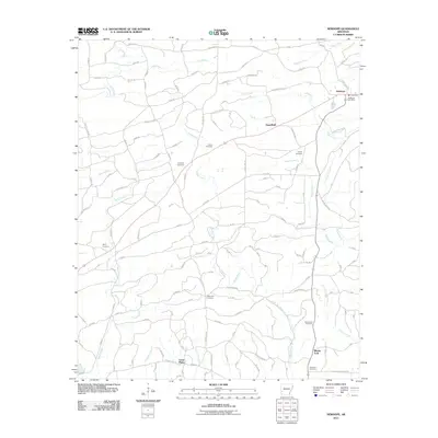 2011 Newhope2011 Print · USGSNewhope and its surrounding Arkansas countryside are documented here in the early twenty-first century. Researchers can trace family history through numerous local sites like Antioch Cemetery, Newhope Post Office, and the curious Water Can Crossing.
 - 2011 Map of Center Point NE, 2011 Print
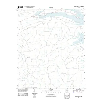 2011 Center Point NE2011 Print · USGSPike County's timbered ridges and the waters of Lake Greeson are documented here in the early twenty-first century. Researchers can locate family landmarks like Shiloh Cemetery and Polk Cemetery or trace the rugged terrain of Wildcat Bluff.
 - 2011 Map of Murfreesboro, 2011 Print
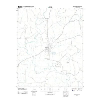 2011 Murfreesboro2011 Print · USGSMurfreesboro and the surrounding Pike County countryside are documented here in the early twenty-first century. Researchers can trace the unique diamond-bearing geology near Crater of Diamonds or locate family roots at College Hill Cemetery and Murfreesboro Cemetery.
 - 2014 Map of Murfreesboro NE, 2014 Print
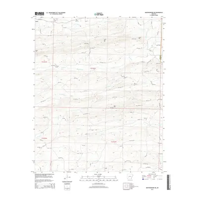 2014 Murfreesboro NE2014 Print · USGSThe rugged Ouachita foothills near the Pike and Clark county line are documented here in the early twenty-first century. Genealogists can locate several remote burial sites like Valley Grove Cem, Wall Creek Cem, and Macedonia Cem.
 - 2014 Map of Narrows Dam, 2014 Print
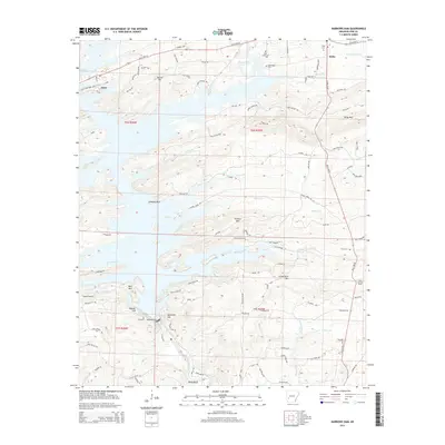 2014 Narrows Dam2014 Print · USGSThe Narrows Dam area in the mid-2010s shows a landscape shaped by the Little Missouri River and the creation of Lake Greeson. Genealogists and local historians can locate several rural burial sites like Cummings Cem or trace landmarks such as Chimney Rock and the Kirby Lookout Tower.
 - 2014 Map of Center Point NE, 2014 Print
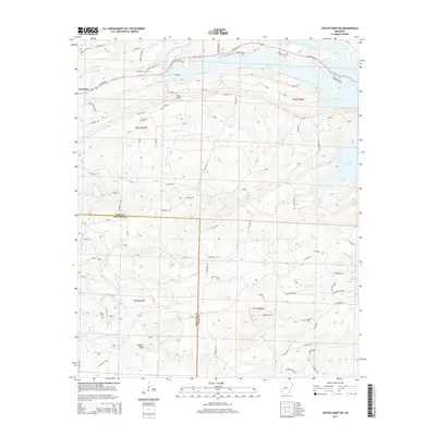 2014 Center Point NE2014 Print · USGSThe rural border of Pike and Howard Counties comes into focus in this recent survey of the Arkansas timberlands. Local researchers can trace family landmarks like Shiloh Cem and Polk Cem, or follow the winding course of the Little Missouri River toward Lake Greeson.
 - 2014 Map of Amity, 2014 Print
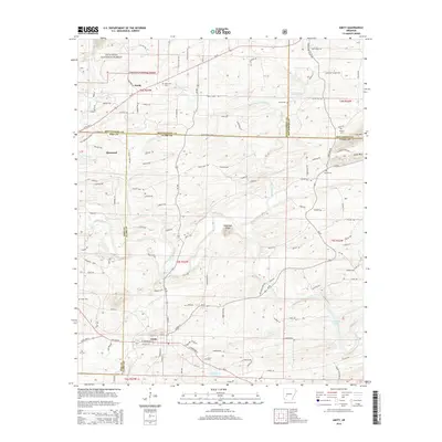 2014 Amity2014 Print · USGSThe Amity and Glenwood area comes into focus in this contemporary survey of the Caddo River valley. Researchers can trace family history through numerous rural burial sites like Shiloh Cem and Coker Cem or locate properties near Sugarloaf Knob.
 - 2014 Map of Langley, 2014 Print
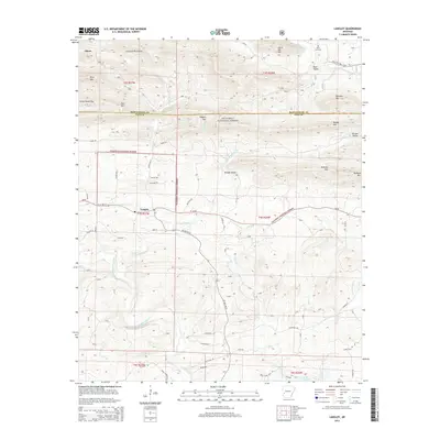 2014 Langley2014 Print · USGSThe Ouachita foothills near the Pike and Montgomery county line are documented here in the early twenty-first century. Genealogists and hikers can trace old routes like McFarlin Rd and locate landmarks such as the Fancy Hill Cem and Redland Gap.
 - 2014 Map of Newhope, 2014 Print
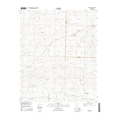 2014 Newhope2014 Print · USGSThe rural communities of Howard and Pike counties are documented here in the early twenty-first century as they were connected by river and road. Researchers can locate several historic burial sites, including Antioch Cem and Blackwood Cem, near the waters of the Muddy Fork.
 - 2014 Map of Okolona South, 2014 Print
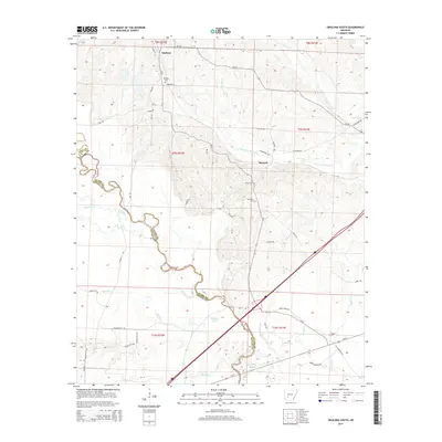 2014 Okolona South2014 Print · USGSThe community of Okolona and the surrounding river bottoms are documented in this early twenty-first-century survey. Genealogists and historians can trace the locations of the Okolona Cem, the settlement at Burtsell, and the wetlands of the Little Missouri River.
Showing maps 1-25 of 54
Top cities of Pike County
Frequently asked questions
- What are the different types of historical maps available for Pike County?
- What is the oldest map of Pike County?
- Where can I purchase historical maps of Pike County for my home or office?
- Where can I download high-res historical maps of Pike County?
- Are there historical topographic maps available for Pike County?
- Is there historical aerial imagery available for Pike County?
- Where are historical maps of Pike County sourced from?