2020s Maps of Sevier County, Arkansas
Explore 32 historic maps of Sevier County from the 2020s. These maps offer a rare glimpse into what life looked like during the 2020s — showing old roads, neighborhoods, homes, and landmarks that have changed or disappeared over time.
Whether you're researching your family's past, planning a metal detecting trip, or studying how Sevier County's landscape evolved across the 2020s, these high-resolution maps are a powerful tool for exploring the history of this region.
- Focus on a specific era: All maps on this page are from the 2020s, giving you a focused view of this time period.
- See what’s changed: Compare century-old streets, trails, and buildings to today's modern landscape using overlays and satellite layers.
- Research with precision: Use these maps for genealogy, historical research, land use analysis, or educational projects.
- View, download, or print: Maps are fully viewable online in high resolution, and can be downloaded or printed for your own records.
Start exploring Sevier County's history through authentic maps from the 2020s. This is your window into the past.
Sevier County, AR maps
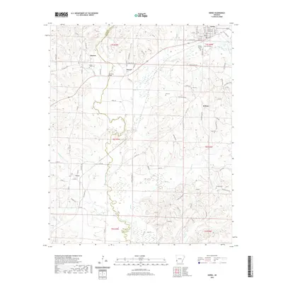
(32)- 2020 Map of Mineral Springs South, 2020 Print
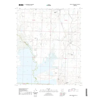 2020 Mineral Springs South2020 Print · USGSCovers Sevier County, including Mineral Springs, Tollette, and other nearby areas
 - 2020 Map of Lockesburg, 2020 Print
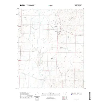 2020 Lockesburg2020 Print · USGSCovers Sevier County, including Lockesburg, Oak Grove, and other nearby areas
 - 2020 Map of Horatio, 2020 Print
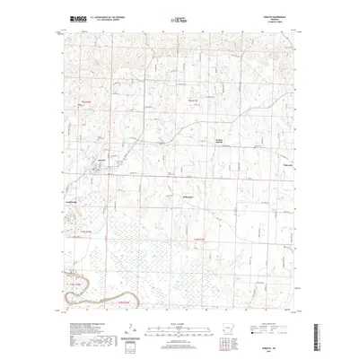 2020 Horatio2020 Print · USGSCovers Sevier County, including Horatio, Neal Springs, and other nearby areas
 - 2020 Map of Falls Chapel, 2020 Print
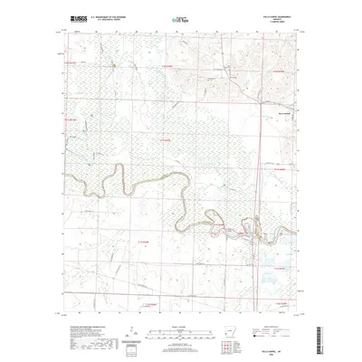 2020 Falls Chapel2020 Print · USGSCovers Sevier County, including Ben Lomond, Millers Crossing, and other nearby areas
 - 2020 Map of Silver Ridge, 2020 Print
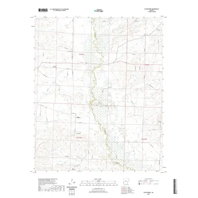 2020 Silver Ridge2020 Print · USGSCovers Sevier County, including Milford, Silver Ridge, and other nearby areas
 - 2020 Map of Cerrogordo, 2020 Print
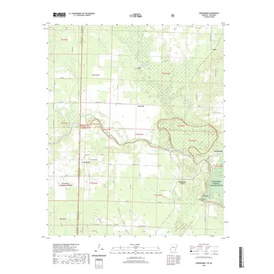 2020 Cerrogordo2020 Print · USGSCovers Sevier County, including Dogtown, Billingsleys Corner, and other nearby areas
 - 2020 Map of De Queen, 2020 Print
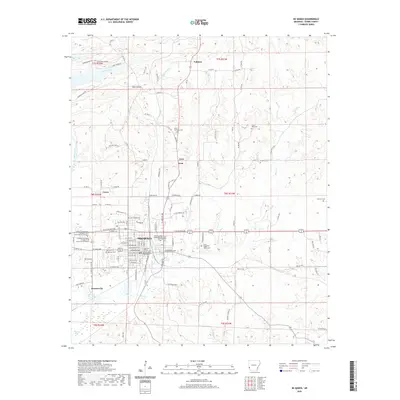 2020 De Queen2020 Print · USGSCovers Sevier County, including De Queen, Process City, and other nearby areas
 - 2020 Map of Ben Lomond, 2020 Print
 2020 Ben Lomond2020 Print · USGSCovers Sevier County, including Ben Lomond, Shiloh, and other nearby areas
 - 2020 Map of Chapel Hill, 2020 Print
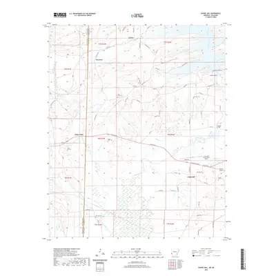 2020 Chapel Hill2020 Print · USGSCovers Sevier County, including Ultima Thule, Chapel Hill, and other nearby areas
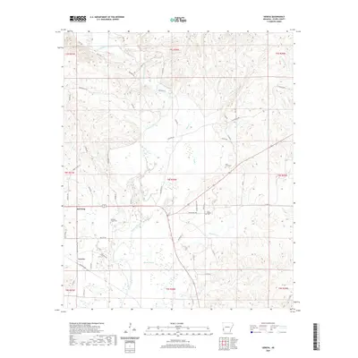
 - 2020 Map of Winthrop, 2020 Print
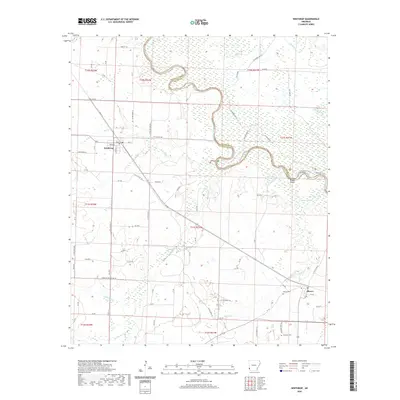 2020 Winthrop2020 Print · USGSCovers Sevier County, including Winthrop, Alleene, and other nearby areas
 - 2020 Map of De Queen NW, 2020 Print
 2020 De Queen NW2020 Print · USGSCovers Sevier County, including McCurtain County, Polk County, and other nearby areas
 - 2020 Map of Gillham Dam, 2020 Print
 2020 Gillham Dam2020 Print · USGSCovers Sevier County, including Polk County, Howard County, and other nearby areas
 - 2020 Map of Dierks, 2020 Print
 2020 Dierks2020 Print · USGSCovers Sevier County, including Dierks, Mount Carmel, and other nearby areas
 - 2020 Map of Geneva, 2020 Print
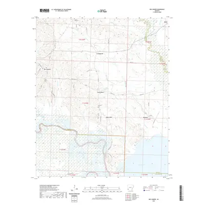
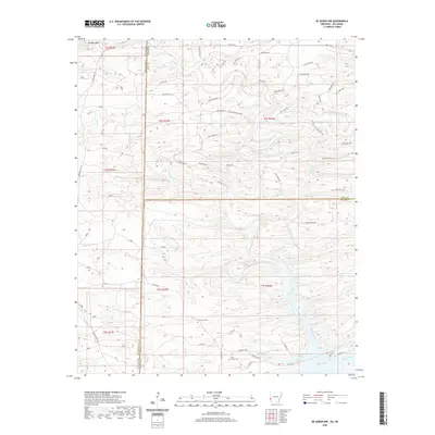
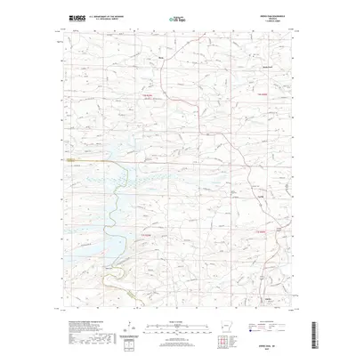
 2020 Geneva2020 Print · USGSCovers Sevier County, including Geneva, Red Wing, and other nearby areas
 - 2020 Map of Dierks Dam, 2020 Print
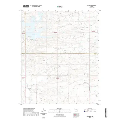
 2020 Dierks Dam2020 Print · USGSCovers Sevier County, including Dierks, Davis Ford, and other nearby areas
 - 2020 Map of Gillham, 2020 Print
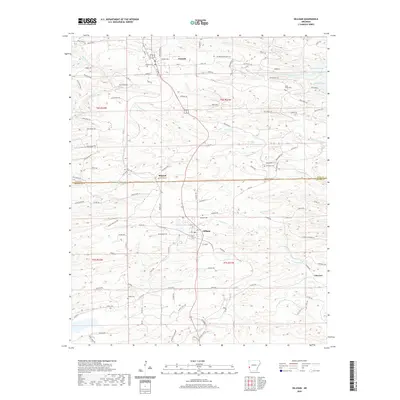 2020 Gillham2020 Print · USGSCovers Sevier County, including Grannis, Gillham, and other nearby areas
 - 2024 Map of Mineral Springs South, 2024 Print
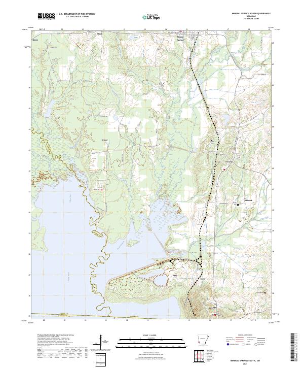 2024 Mineral Springs South2024 Print · USGSHoward County's riverfront and rural settlements are captured here in the contemporary era. Researchers can locate family landmarks like Shirley Cem, trace the course of the Saline River, and explore the layout of Tollette and Saratoga.
 - 2024 Map of Geneva, 2024 Print
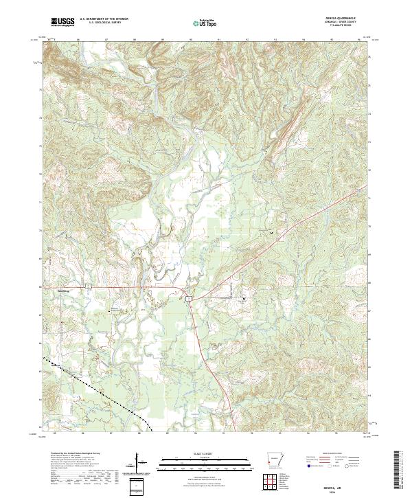 2024 Geneva2024 Print · USGSSevier County's river-bottom lands are mapped here in the modern era, centered on the winding Cossatot River south of De Queen. Family historians can locate rural landmarks like Woffords Chapel Cem and New Bethel Cem or trace the early paths of Old Dierks Hwy near Red Wing.
 - 2024 Map of Winthrop, 2024 Print
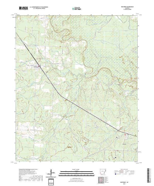 2024 Winthrop2024 Print · USGSThe Little River bottomlands come to life in this contemporary survey of southwest Arkansas. Genealogists and local historians can trace the roads connecting Winthrop and Alleene to sites like Alleene Cem, Freeman Cem, and Woods Shoals.
 - 2024 Map of Cerrogordo, 2024 Print
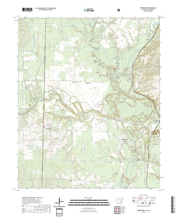 2024 Cerrogordo2024 Print · USGSThe Oklahoma-Arkansas borderlands are captured here as they appear today, defined by the winding Little River and the vast protected lands of the Pond Creek National Wildlife Refuge. Researchers can trace the heritage of local settlements like Cerrogordo and Billingsleys Corner, or locate the historic Green Wood Ferry crossing.
 - 2024 Map of Silver Ridge, 2024 Print
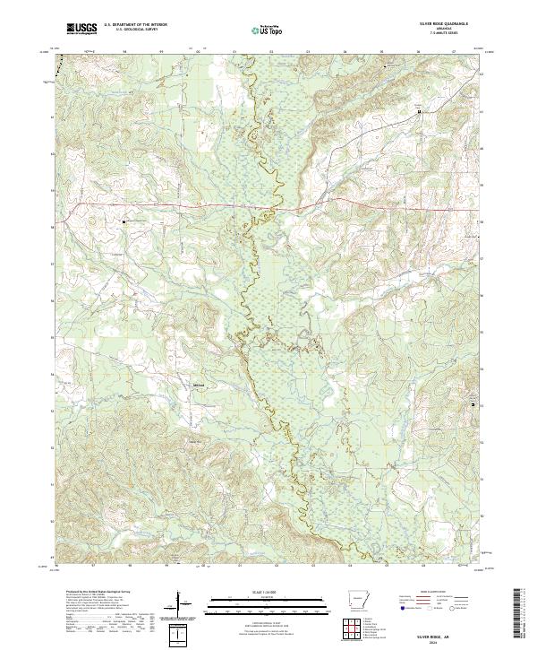 2024 Silver Ridge2024 Print · USGSThe Sevier-Howard county line follows the winding path of the Saline River in this modern topographic survey of southwest Arkansas. Genealogists and local historians can trace the locations of several rural burial sites including Coulter Cem, Graves Cem, and the community at Milford.
 - 2024 Map of Falls Chapel, 2024 Print
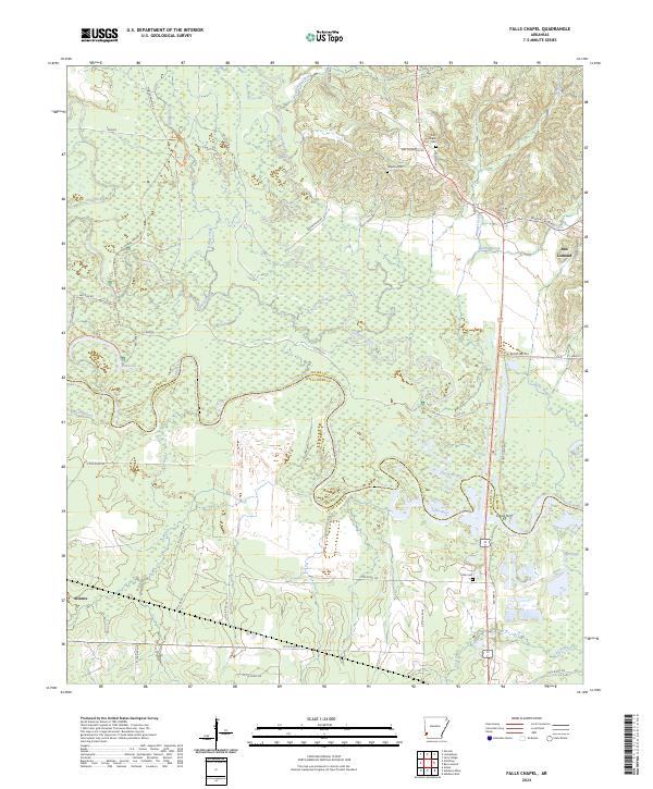 2024 Falls Chapel2024 Print · USGSSevier and Little River counties are captured here in the 2020s where the Cossatot River meets the Little River. Researchers can trace old family names at Falls Chapel Cem and Mills Cem or explore the wetlands of Pond Creek National Wildlife Refuge.
 - 2024 Map of Lockesburg, 2024 Print
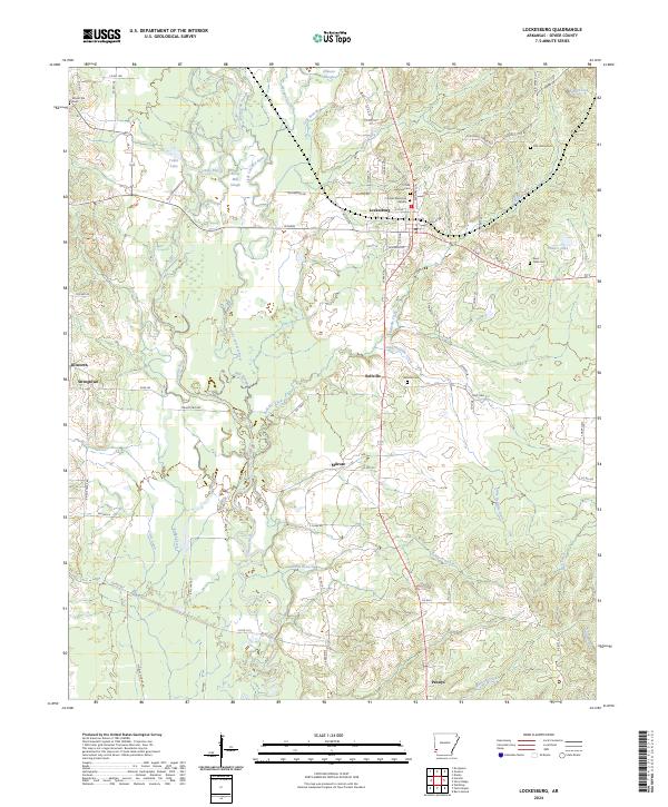 2024 Lockesburg2024 Print · USGSLockesburg and the surrounding Sevier County river bottoms are documented here in recent detail. Researchers can trace local lineage through several sites including Old Union Cem, Sand Field Cem, and the communities of Bellville and Milrose.
 - 2024 Map of Horatio, 2024 Print
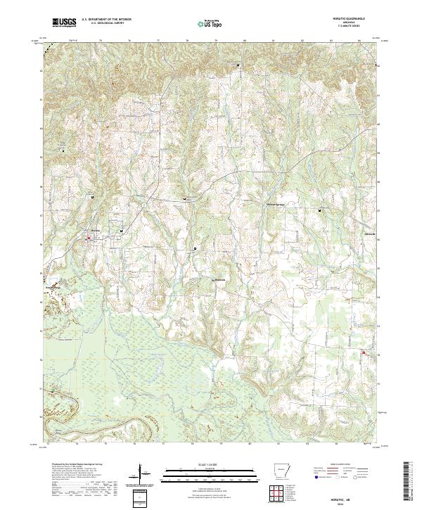 2024 Horatio2024 Print · USGSSevier County at the dawn of the 2020s shows a landscape defined by the Little River wetlands and quiet rural crossroads. Genealogists and local historians can trace family roots through numerous local burial grounds like Horatio Cem and Norwoodville Cem.
 - 2024 Map of Ben Lomond, 2024 Print
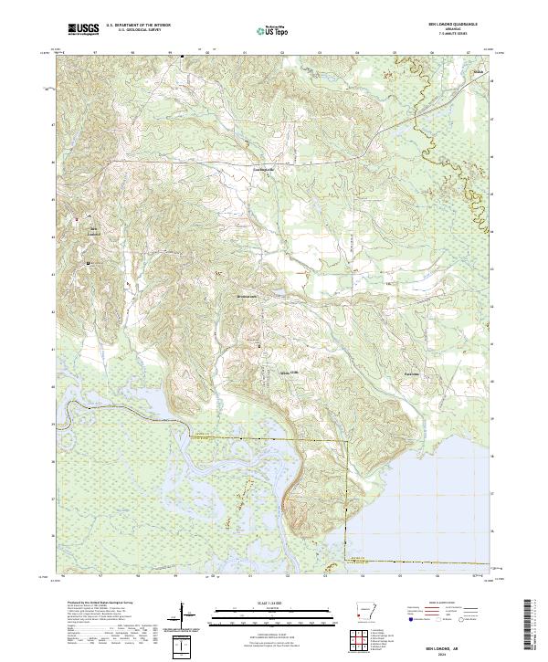 2024 Ben Lomond2024 Print · USGSSouthwestern Arkansas in recent years remains a landscape of river bottoms and small rural communities. Trace local family roots and land patterns near Ben Lomond, White Cliffs, and the Pond Creek National Wildlife Refuge as the Little River meanders south.
Showing maps 1-25 of 32
Top cities of Sevier County
- De Queen historical maps
- Horatio historical maps
- Lockesburg historical maps
- Gillham historical maps
- Ben Lomond historical maps
Frequently asked questions
- What are the different types of historical maps available for Sevier County?
- What is the oldest map of Sevier County?
- Where can I purchase historical maps of Sevier County for my home or office?
- Where can I download high-res historical maps of Sevier County?
- Are there historical topographic maps available for Sevier County?
- Is there historical aerial imagery available for Sevier County?
- Where are historical maps of Sevier County sourced from?