2000s (21st Century) Maps of Sevier County, Arkansas
Explore 80 historic maps of Sevier County from the 2000s (21st Century). These maps offer a rare glimpse into what life looked like during the 2000s — showing old roads, neighborhoods, homes, and landmarks that have changed or disappeared over time.
Whether you're researching your family's past, planning a metal detecting trip, or studying how Sevier County's landscape evolved across the 2000s, these high-resolution maps are a powerful tool for exploring the history of this region.
- Focus on a specific era: All maps on this page are from the 2000s, giving you a focused view of this time period.
- See what’s changed: Compare century-old streets, trails, and buildings to today's modern landscape using overlays and satellite layers.
- Research with precision: Use these maps for genealogy, historical research, land use analysis, or educational projects.
- View, download, or print: Maps are fully viewable online in high resolution, and can be downloaded or printed for your own records.
Start exploring Sevier County's history through authentic maps from the 2000s. This is your window into the past.
Sevier County, AR maps
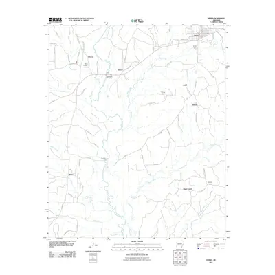
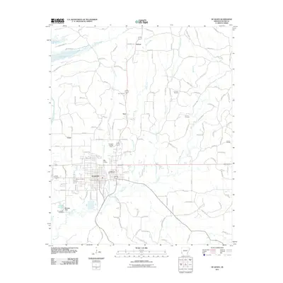
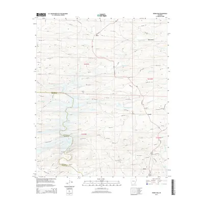
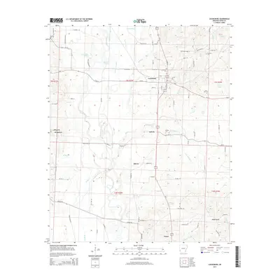
(80)- 2011 Map of Lockesburg, 2011 Print
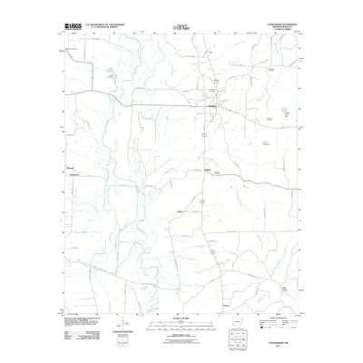 2011 Lockesburg2011 Print · USGSCovers Sevier County, including Lockesburg, Oak Grove, and other nearby areas
 - 2011 Map of Cerrogordo, 2011 Print
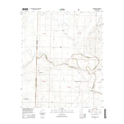
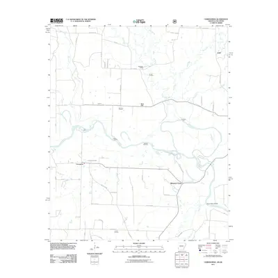 2011 Cerrogordo2011 Print · USGSCovers Sevier County, including Dogtown, Billingsleys Corner, and other nearby areas
 - 2011 Map of Silver Ridge, 2011 Print
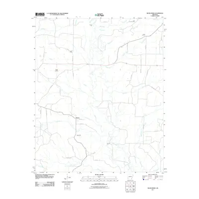 2011 Silver Ridge2011 Print · USGSCovers Sevier County, including Milford, Silver Ridge, and other nearby areas
 - 2011 Map of Mineral Springs South, 2011 Print
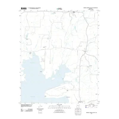 2011 Mineral Springs South2011 Print · USGSCovers Sevier County, including Mineral Springs, Tollette, and other nearby areas
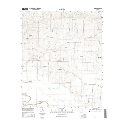
 - 2011 Map of Winthrop, 2011 Print
 2011 Winthrop2011 Print · USGSCovers Sevier County, including Winthrop, Alleene, and other nearby areas
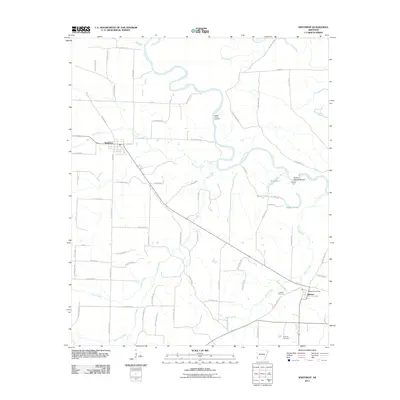
 - 2011 Map of Horatio, 2011 Print
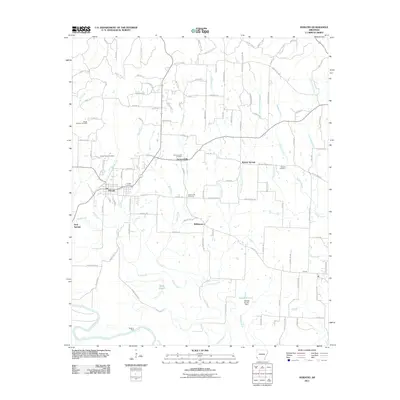 2011 Horatio2011 Print · USGSCovers Sevier County, including Horatio, Neal Springs, and other nearby areas
 - 2011 Map of Falls Chapel, 2011 Print
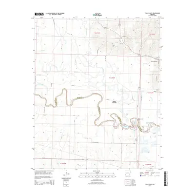
 2011 Falls Chapel2011 Print · USGSCovers Sevier County, including Ben Lomond, Millers Crossing, and other nearby areas
 - 2011 Map of Ben Lomond, 2011 Print
 2011 Ben Lomond2011 Print · USGSCovers Sevier County, including Ben Lomond, Shiloh, and other nearby areas
 - 2011 Map of Dierks, 2011 Print
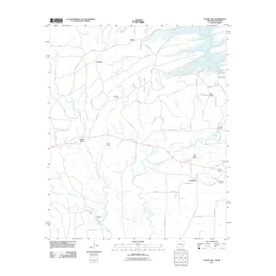
 2011 Dierks2011 Print · USGSCovers Sevier County, including Dierks, Mount Carmel, and other nearby areas
 - 2011 Map of Chapel Hill, 2011 Print
 2011 Chapel Hill2011 Print · USGSCovers Sevier County, including Ultima Thule, Chapel Hill, and other nearby areas
 - 2011 Map of De Queen NW, 2011 Print
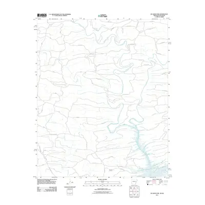 2011 De Queen NW2011 Print · USGSCovers Sevier County, including McCurtain County, Polk County, and other nearby areas
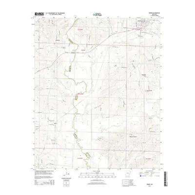
 - 2011 Map of Geneva, 2011 Print
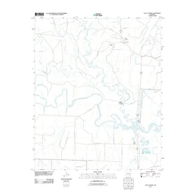
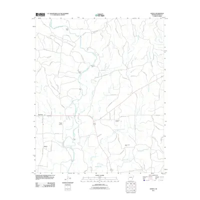 2011 Geneva2011 Print · USGSCovers Sevier County, including Geneva, Red Wing, and other nearby areas
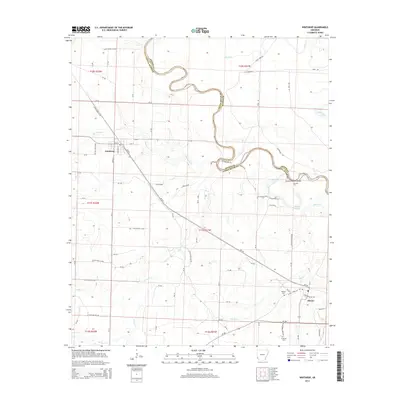
 - 2011 Map of De Queen, 2011 Print
 2011 De Queen2011 Print · USGSCovers Sevier County, including De Queen, Process City, and other nearby areas
 - 2011 Map of Dierks Dam, 2011 Print
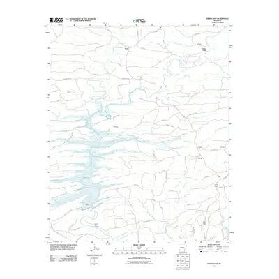 2011 Dierks Dam2011 Print · USGSCovers Sevier County, including Dierks, Davis Ford, and other nearby areas
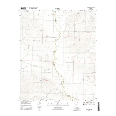
 - 2011 Map of Gillham Dam, 2011 Print
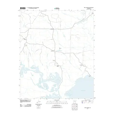
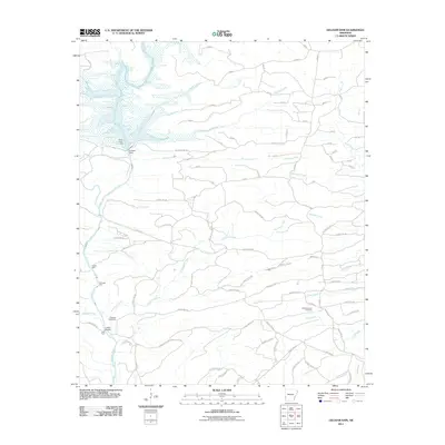 2011 Gillham Dam2011 Print · USGSCovers Sevier County, including Polk County, Howard County, and other nearby areas
 - 2011 Map of Gillham, 2011 Print
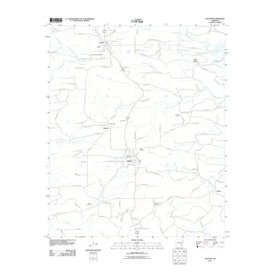 2011 Gillham2011 Print · USGSCovers Sevier County, including Grannis, Gillham, and other nearby areas
 - 2014 Map of Dierks Dam, 2014 Print
 2014 Dierks Dam2014 Print · USGSCovers Sevier County, including Dierks, Davis Ford, and other nearby areas
 - 2014 Map of Geneva, 2014 Print
 2014 Geneva2014 Print · USGSCovers Sevier County, including Geneva, Red Wing, and other nearby areas
 - 2014 Map of Dierks, 2014 Print
 2014 Dierks2014 Print · USGSCovers Sevier County, including Dierks, Mount Carmel, and other nearby areas
 - 2014 Map of Winthrop, 2014 Print
 2014 Winthrop2014 Print · USGSCovers Sevier County, including Winthrop, Alleene, and other nearby areas
 - 2014 Map of Silver Ridge, 2014 Print
 2014 Silver Ridge2014 Print · USGSCovers Sevier County, including Milford, Silver Ridge, and other nearby areas
 - 2014 Map of Lockesburg, 2014 Print
 2014 Lockesburg2014 Print · USGSCovers Sevier County, including Lockesburg, Oak Grove, and other nearby areas
 - 2014 Map of Horatio, 2014 Print
 2014 Horatio2014 Print · USGSCovers Sevier County, including Horatio, Neal Springs, and other nearby areas
 - 2014 Map of Cerrogordo, 2014 Print
 2014 Cerrogordo2014 Print · USGSCovers Sevier County, including Dogtown, Billingsleys Corner, and other nearby areas
 - 2014 Map of Falls Chapel, 2014 Print
 2014 Falls Chapel2014 Print · USGSCovers Sevier County, including Ben Lomond, Millers Crossing, and other nearby areas
Showing maps 1-25 of 80
Top cities of Sevier County
- De Queen historical maps
- Horatio historical maps
- Lockesburg historical maps
- Gillham historical maps
- Ben Lomond historical maps
Frequently asked questions
- What are the different types of historical maps available for Sevier County?
- What is the oldest map of Sevier County?
- Where can I purchase historical maps of Sevier County for my home or office?
- Where can I download high-res historical maps of Sevier County?
- Are there historical topographic maps available for Sevier County?
- Is there historical aerial imagery available for Sevier County?
- Where are historical maps of Sevier County sourced from?