2020s Maps of Stone County, Arkansas
Explore 44 historic maps of Stone County from the 2020s. These maps offer a rare glimpse into what life looked like during the 2020s — showing old roads, neighborhoods, homes, and landmarks that have changed or disappeared over time.
Whether you're researching your family's past, planning a metal detecting trip, or studying how Stone County's landscape evolved across the 2020s, these high-resolution maps are a powerful tool for exploring the history of this region.
- Focus on a specific era: All maps on this page are from the 2020s, giving you a focused view of this time period.
- See what’s changed: Compare century-old streets, trails, and buildings to today's modern landscape using overlays and satellite layers.
- Research with precision: Use these maps for genealogy, historical research, land use analysis, or educational projects.
- View, download, or print: Maps are fully viewable online in high resolution, and can be downloaded or printed for your own records.
Start exploring Stone County's history through authentic maps from the 2020s. This is your window into the past.
Stone County, AR maps
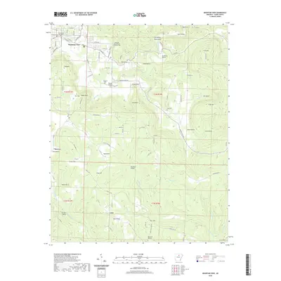
(44)- 2020 Map of Calico Rock, 2020 Print
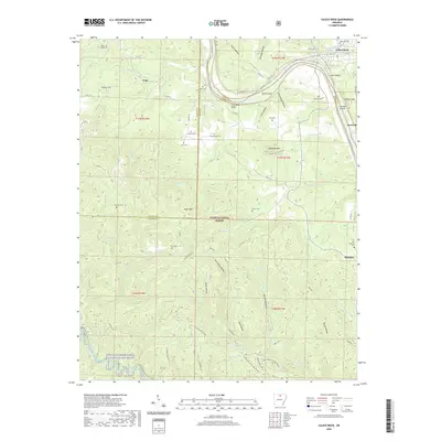 2020 Calico Rock2020 Print · USGSCovers Stone County, including Calico Rock, Optimus, and other nearby areas
 - 2020 Map of Norfork Dam South, 2020 Print
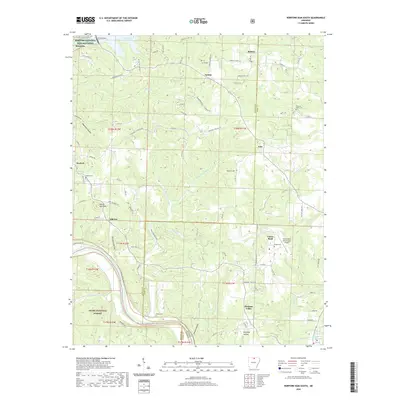 2020 Norfork Dam South2020 Print · USGSCovers Stone County, including Calico Rock, Norfork, and other nearby areas
 - 2020 Map of Norfork SE, 2020 Print
 2020 Norfork SE2020 Print · USGSCovers Stone County, including Baxter County, United States, and other nearby areas
 - 2020 Map of Boswell, 2020 Print
 2020 Boswell2020 Print · USGSCovers Stone County, including Calico Rock, Boswell, and other nearby areas
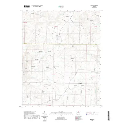
 - 2020 Map of Marcella, 2020 Print
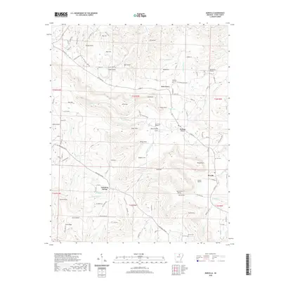 2020 Marcella2020 Print · USGSCovers Stone County, including Pleasant Grove, Marcella, and other nearby areas
 - 2020 Map of Concord, 2020 Print
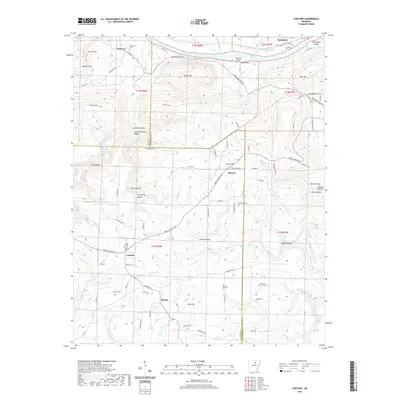 2020 Concord2020 Print · USGSCovers Stone County, including Concord, Earnheart, and other nearby areas
 - 2020 Map of Drasco, 2020 Print
 2020 Drasco2020 Print · USGSCovers Stone County, including Concord, Wolf Bayou, and other nearby areas
 - 2020 Map of Guion, 2020 Print
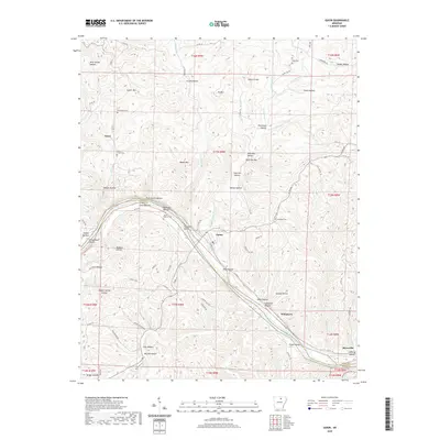 2020 Guion2020 Print · USGSCovers Stone County, including Guion, Nasco, and other nearby areas
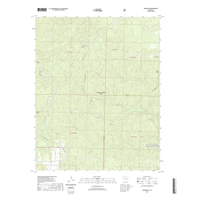
 - 2020 Map of Bethesda, 2020 Print
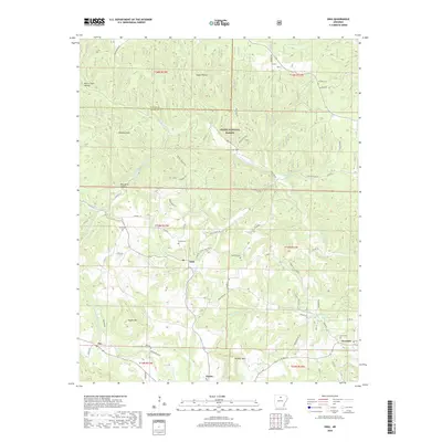
 2020 Bethesda2020 Print · USGSCovers Stone County, including Cushman, Harmontown, and other nearby areas
 - 2020 Map of Mount Pleasant, 2020 Print
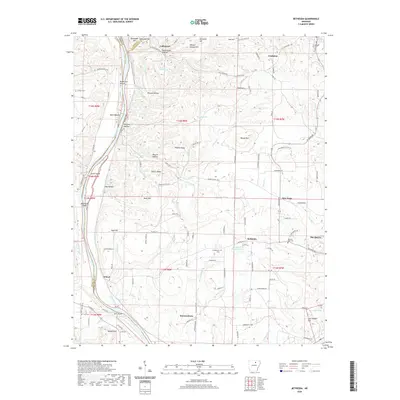
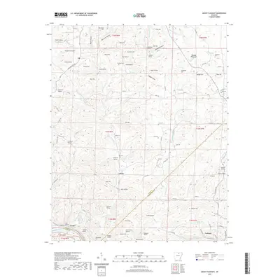 2020 Mount Pleasant2020 Print · USGSCovers Stone County, including Cushman, Mount Pleasant, and other nearby areas
 - 2020 Map of Shirley, 2020 Print
 2020 Shirley2020 Print · USGSCovers Stone County, including Fairfield Bay, Shirley, and other nearby areas
 - 2020 Map of Old Lexington, 2020 Print
 2020 Old Lexington2020 Print · USGSCovers Stone County, including Clinton, Plant, and other nearby areas
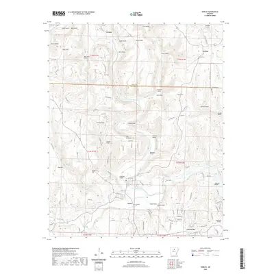
 - 2020 Map of Oxley, 2020 Print
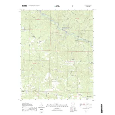
 2020 Oxley2020 Print · USGSCovers Stone County, including Elba, Harness, and other nearby areas
 - 2020 Map of Onia, 2020 Print
 2020 Onia2020 Print · USGSCovers Stone County, including Alco, Onia, and other nearby areas
 - 2020 Map of Fiftysix, 2020 Print
 2020 Fiftysix2020 Print · USGSCovers Stone County, including Mountain View, Fifty-Six, and other nearby areas
 - 2020 Map of Prim, 2020 Print
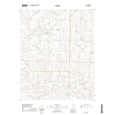
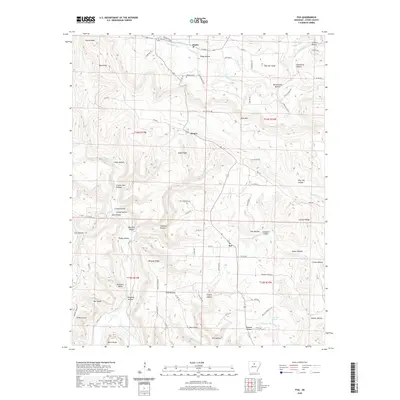
 2020 Prim2020 Print · USGSCovers Stone County, including Woodrow, Prim, and other nearby areas
 - 2020 Map of Mountain View SW, 2020 Print
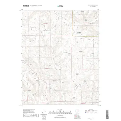
 2020 Mountain View SW2020 Print · USGSCovers Stone County, including Mountain View, East Richwoods, and other nearby areas
 - 2020 Map of Fox, 2020 Print
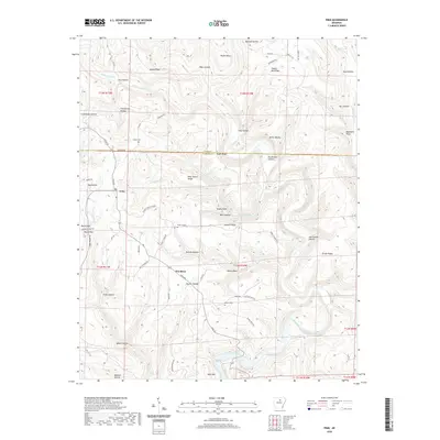
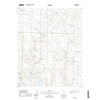
 2020 Fox2020 Print · USGSCovers Stone County, including Mozart, Timbo, and other nearby areas
 - 2020 Map of Landis, 2020 Print
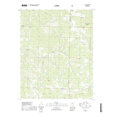 2020 Landis2020 Print · USGSCovers Stone County, including Big Flat, Fairview, and other nearby areas
 - 2020 Map of Parma, 2020 Print
 2020 Parma2020 Print · USGSCovers Stone County, including Fairfield Bay, Sunny Slope, and other nearby areas
 - 2020 Map of Mountain View, 2020 Print
 2020 Mountain View2020 Print · USGSCovers Stone County, including Mountain View, Luber, and other nearby areas
 - 2020 Map of Sylamore, 2020 Print
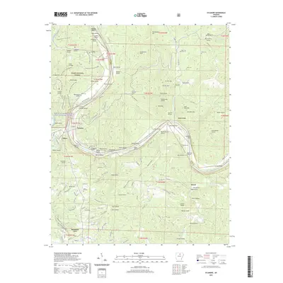 2020 Sylamore2020 Print · USGSCovers Stone County, including Mountain View, Twin Creek, and other nearby areas
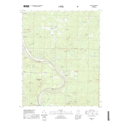
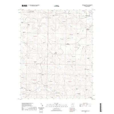
 - 2024 Map of Norfork Dam South, 2024 Print
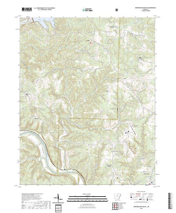 2024 Norfork Dam South2024 Print · USGSThe Ozark plateau meets the winding White River in the 2020s, revealing a landscape of deep hollows and high ridges. Researchers can locate family landmarks like Galatia Cem and Hand Cem or trace the early settlement boundaries of Iuka and Old Joe.
 - 2024 Map of Norfork SE, 2024 Print
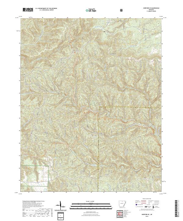 2024 Norfork SE2024 Print · USGSBaxter and Stone counties are shown here in the 2020s, dominated by the protected woodlands and waterways of the Ozark Plateau. Researchers can trace land use near Acklin Cem or map the deep drainages of Birmingham Hollow and Cap Fork.
 - 2024 Map of Drasco, 2024 Print
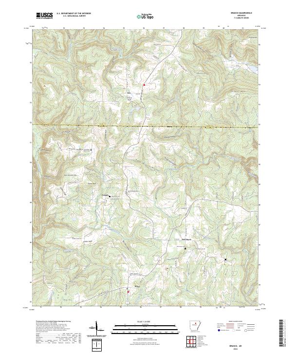 2024 Drasco2024 Print · USGSThe Ozark foothills near the Cleburne and Stone County line are shown here in the 2020s, featuring the rural settlements of Drasco and Wolf Bayou. Genealogists and local historians can trace family locations near Macedonia Cem, Sam Johnson Mtn, and Victoria Bluffs.
Showing maps 1-25 of 44
Top cities of Stone County
Frequently asked questions
- What are the different types of historical maps available for Stone County?
- What is the oldest map of Stone County?
- Where can I purchase historical maps of Stone County for my home or office?
- Where can I download high-res historical maps of Stone County?
- Are there historical topographic maps available for Stone County?
- Is there historical aerial imagery available for Stone County?
- Where are historical maps of Stone County sourced from?