2010s Maps of Stone County, Arkansas
Explore 66 historic maps of Stone County from the 2010s. These maps offer a rare glimpse into what life looked like during the 2010s — showing old roads, neighborhoods, homes, and landmarks that have changed or disappeared over time.
Whether you're researching your family's past, planning a metal detecting trip, or studying how Stone County's landscape evolved across the 2010s, these high-resolution maps are a powerful tool for exploring the history of this region.
- Focus on a specific era: All maps on this page are from the 2010s, giving you a focused view of this time period.
- See what’s changed: Compare century-old streets, trails, and buildings to today's modern landscape using overlays and satellite layers.
- Research with precision: Use these maps for genealogy, historical research, land use analysis, or educational projects.
- View, download, or print: Maps are fully viewable online in high resolution, and can be downloaded or printed for your own records.
Start exploring Stone County's history through authentic maps from the 2010s. This is your window into the past.
Stone County, AR maps
(66)- 2011 Map of Mountain View SW, 2011 Print
 2011 Mountain View SW2011 Print · USGSStone County’s high ridges and deep hollows are captured here in the decade before the present, showing the rural communities surrounding Mountain View. Researchers can trace local lineage through family landmarks like Finch Cemetery, Fredonia Hill, and Sunny Land.
 - 2011 Map of Shirley, 2011 Print
 2011 Shirley2011 Print · USGSSettlement along the Middle Fork Little Red River is captured here in the early twenty-first century. Genealogists can trace family footprints through several burial sites like Settlement Cemetery and the hamlets of Shirley and Rushing.
 - 2011 Map of Sylamore, 2011 Print
 2011 Sylamore2011 Print · USGSThe White River valley in the early twenty-first century remains a landscape of high ridges and deep hollows. Genealogists and local historians can trace family ties through numerous sites like Jeffrey Cemetery, Mount Olive, and the Whitehouse Canning Kitchen.
 - 2011 Map of Fiftysix, 2011 Print
 2011 Fiftysix2011 Print · USGSThe community of Fiftysix and the Ozark National Forest area are captured here in the early twenty-first century. Genealogists and local historians can locate the Red Doors Cemetery, trace the roads around Gayler, and find the Stone Drive-In theater.
 - 2011 Map of Onia, 2011 Print
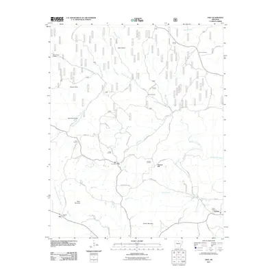 2011 Onia2011 Print · USGSStone County, Arkansas, comes into sharp focus during the early twenty-first century as a landscape of interconnected hollows and high ridges. Genealogists can trace family footprints through several local landmarks like Purdue Cemetery, Onia Post Office, and Ramsey Knob.
 - 2011 Map of Fox, 2011 Print
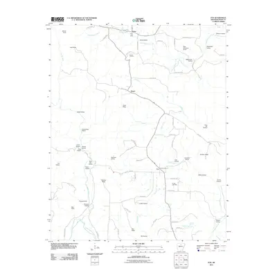 2011 Fox2011 Print · USGSStone County's high ridges and deep hollows are captured here during the early twenty-first century. Genealogists and local historians can trace the roads connecting Timbo and Fox, locating family landmarks like Ramsey Cemetery and Dodd Ridge.
 - 2011 Map of Prim, 2011 Print
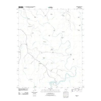 2011 Prim2011 Print · USGSThe area surrounding Woodrow and Prim is captured here during the early twenty-first century, showing a landscape defined by the Devils Fork Little Red River. Family researchers can trace local roots at the Verser Cemetery, Everett Cemetery, and Knapp Cemetery.
 - 2011 Map of Oxley, 2011 Print
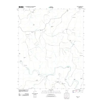 2011 Oxley2011 Print · USGSSettled along the river and ridges of Van Buren County, this survey shows the rural landscape of the early 2000s. Genealogists can locate family landmarks like Mabrey Cemetery and Kuykendall Cemetery or the small communities of Elba and Oxley.
 - 2011 Map of Landis, 2011 Print
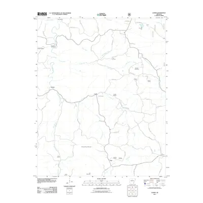 2011 Landis2011 Print · USGSThe hills of northern Arkansas are meticulously detailed in this early 21st-century survey of the Landis area. Genealogists can trace family roots through numerous local sites like Landis Cemetery, the Economy Post Office, and Scribner Cemetery.
 - 2011 Map of Mountain View, 2011 Print
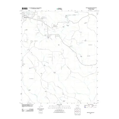 2011 Mountain View2011 Print · USGSMountain View and Stone County are seen here in the early twenty-first century, a time when family-named hollows and ridge-top settlements still defined the landscape. Local historians can trace family roots through sites like Flatwoods Cemetery, Luber, and the rural crossroads of Simpson Point.
 - 2011 Map of Old Lexington, 2011 Print
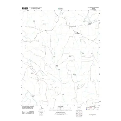 2011 Old Lexington2011 Print · USGSThe rural uplands of Van Buren County come into focus in this early twenty-first-century survey. Family history researchers can trace the roads around Old Lexington, Old Botkinburg, and Arlberg, or find resting places at Mountain View Cemetery and Holly Mountain Cemetery.
 - 2011 Map of Parma, 2011 Print
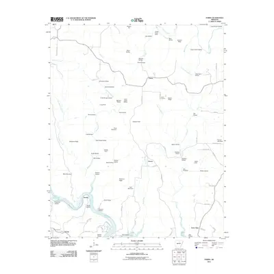 2011 Parma2011 Print · USGSVan Buren County is shown just over a decade ago as the landscape transitions from high ridges like Choppy Knob to the waters of Greers Ferry Lake. Researchers can trace local lineage at Smart Cemetery or locate old community hubs at Parma and Brewer.
 - 2011 Map of Marcella, 2011 Print
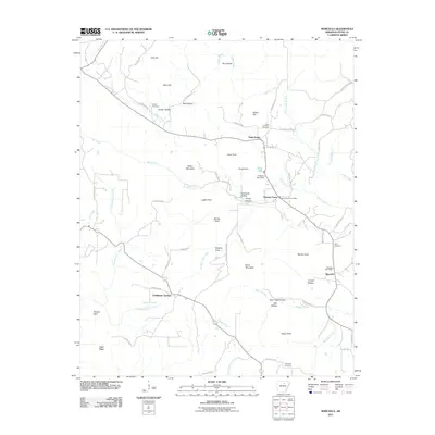 2011 Marcella2011 Print · USGSStone County settlements like Saint James and Pleasant Grove are shown in the early twenty-first century amidst a landscape of named ridges and hollows. Researchers can locate local landmarks such as Dugan Cemetery, the Marcella Post Office, and Chalybeate Springs.
 - 2011 Map of Drasco, 2011 Print
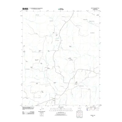 2011 Drasco2011 Print · USGSDrasco and the surrounding hollows of Cleburne County are documented in the early twenty-first century as a landscape of small settlements and mountain ridges. Researchers can locate family landmarks like Macedonia Cemetery, the Drasco Post Office, and Schoolhouse Hill.
 - 2011 Map of Concord, 2011 Print
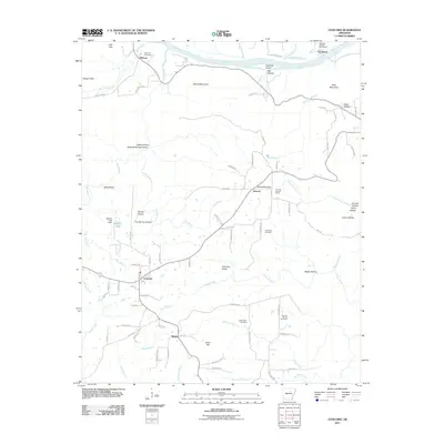 2011 Concord2011 Print · USGSNorth of the White River in the early twenty-first century, this area of Cleburne County preserves a rural network of family-named hollows and cemeteries. Genealogists can locate Bellmore Cemetery, Starnes Spring, and the community of Concord.
 - 2011 Map of Mount Pleasant, 2011 Print
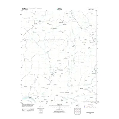 2011 Mount Pleasant2011 Print · USGSMount Pleasant and the surrounding hollows of Independence County are shown here during a period of active mineral prospecting and rural expansion. Researchers can trace local lineage through sites like Winkle Cemetery, the Klondike Mine, and the small settlement of Lafferty.
 - 2011 Map of Guion, 2011 Print
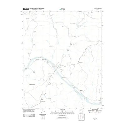 2011 Guion2011 Print · USGSThe river-driven landscape around Guion is captured here at the start of the twenty-first century. Genealogists and historians can trace family land across Jones Bottom, locate old burial sites like McCormick Cemetery, and identify mineral digs such as G F Fults Prospect.
 - 2011 Map of Bethesda, 2011 Print
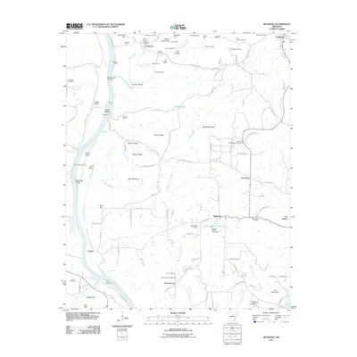 2011 Bethesda2011 Print · USGSIndependence County's river-fed hills were defined by manganese mining and rural settlements during the early twenty-first century. Genealogists and historians can trace family locations through York Cemetery, the McBride Mines, and the river crossing at Walls Ferry Road.
 - 2011 Map of Norfork SE, 2011 Print
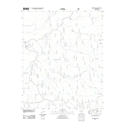 2011 Norfork SE2011 Print · USGSBaxter County’s high ridges and Ozark hollows are detailed here during the early 2000s, showing a landscape defined by timber lookouts and creek forks. Researchers can locate the Acklin Cemetery, the Push Mountain Lookout Tower, and the Barkshed Picnic Area.
 - 2011 Map of Calico Rock, 2011 Print
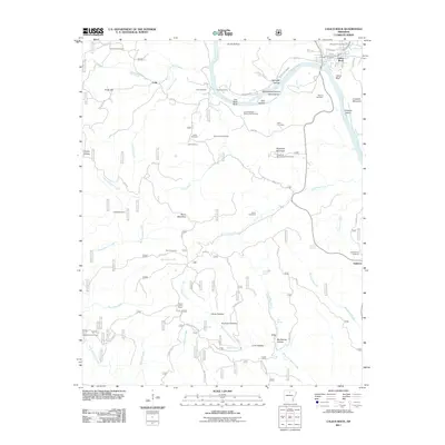 2011 Calico Rock2011 Print · USGSThe White River bluffs and Ozark hollows are the focus of this late twentieth-century study of Izard County. Researchers can locate remote family landmarks and community sites like Chesmond Ferry, Old Optimus Cemetery, and the Sugarloaf Mountain Lookout Tower.
 - 2011 Map of Norfork Dam South, 2011 Print
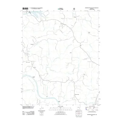 2011 Norfork Dam South2011 Print · USGSCalico Rock and the surrounding river country are documented here in the early twenty-first century, featuring the southern edge of the Norfork Lake reservoir. Researchers can trace rural cemeteries and sites like Old Joe, Galatia Cemetery, and the Jordan Post Office along the White River corridor.
 - 2011 Map of Boswell, 2011 Print
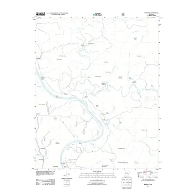 2011 Boswell2011 Print · USGSThe White River valley in the early twenty-first century remains defined by its winding waterways and high Ozark ridges. Genealogists can trace family roots through numerous burial sites like Palestine Cemetery and Athens Cemetery, or locate old river settlements like Mount Olive and Boswell.
 - 2014 Map of Concord, 2014 Print
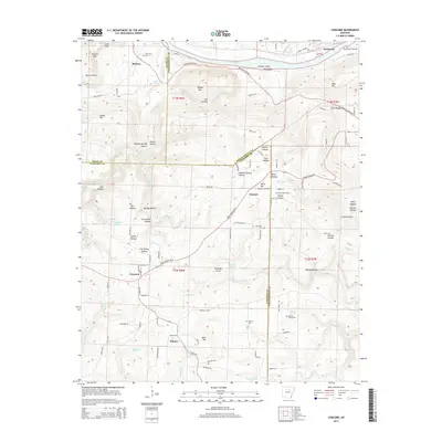 2014 Concord2014 Print · USGSThe foothills of the Ozarks meet the White River valley in this 2014 survey of Cleburne and Independence Counties. Researchers can trace rural lineages through Mt Zion Cem and Starnes Spring Cem or locate landmarks like Bailey Falls and the Almond Lookout Tower.
 - 2014 Map of Mountain View SW, 2014 Print
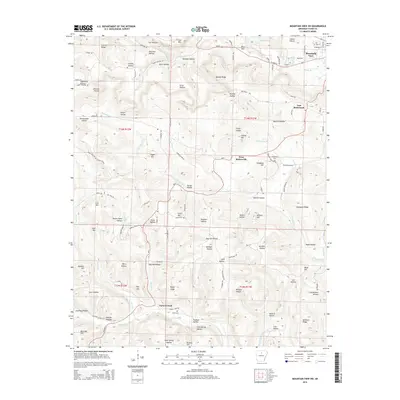 2014 Mountain View SW2014 Print · USGSStone County highlands are documented here in 2014, showing the rural communities and hollows west of the county seat. Genealogists and local historians can trace family sites at Fredonia Cem or explore the landscape around East Richwoods and Turkey Creek.
 - 2014 Map of Oxley, 2014 Print
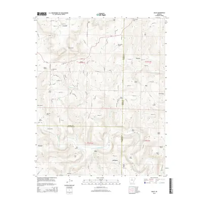 2014 Oxley2014 Print · USGSThe rural uplands of the Ozarks at the triple border of Searcy, Stone, and Van Buren counties are captured here in the early twenty-first century. Family history researchers can find the Kuykendall Cem, the hamlet of Elba, and the riverbanks of the Middle Fork Little Red River.
Showing maps 1-25 of 66
Top cities of Stone County
Frequently asked questions
- What are the different types of historical maps available for Stone County?
- What is the oldest map of Stone County?
- Where can I purchase historical maps of Stone County for my home or office?
- Where can I download high-res historical maps of Stone County?
- Are there historical topographic maps available for Stone County?
- Is there historical aerial imagery available for Stone County?
- Where are historical maps of Stone County sourced from?