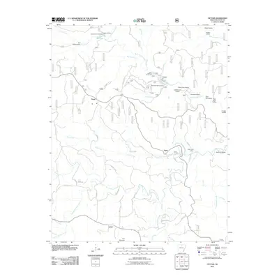
2011 Map of Fiftysix
USGS Topo · Published 2011About this map
The settlement of Fiftysix anchors this Ozark landscape, where the winding waters of North Sylamore Creek and South Sylamore Creek carve deep hollows through the terrain. This 2011 survey captures the area's transition into a center for outdoor recreation, centered around the North Sylamore Campground and the waters of Gunner Pool Lake, held by the Gunner Pool Lake Dam. Local history is preserved at the Gayler Cemetery and Red Doors Cemetery, while the Stone Drive-In to the southeast indicates the area's cultural landmarks.
Find a feature on this map
69 named features on this map. Tap any name to fly to it.
Don’t see what you’re looking for? This feature index may not catch every label — zoom into the map to look around manually.
Map Details
Editions of this 2011 Fiftysix Map
This is the sole edition of this map. No revisions or reprints were ever made.
Other maps of this area

1890 · Mountain Home
USGS Topo · 1:125,000

1891 · Mountain Home
USGS Topo · 1:125,000

1892 · Mountain View
USGS Topo · 1:125,000

1894 · Mountain View
USGS Topo · 1:125,000

1894 · Mountain Home
USGS Topo · 1:125,000

1945 · Harrison
USGS Topo · 1:250,000

1949 · Harrison
USGS Topo · 1:250,000

1954 · Harrison
USGS Topo · 1:250,000

1956 · Russellville
USGS Topo · 1:250,000

1958 · Harrison
USGS Topo · 1:250,000