2000s (21st Century) Maps of Paradise, California
Explore 16 historic maps of Paradise from the 2000s (21st Century). These maps offer a rare glimpse into what life looked like during the 2000s — showing old roads, neighborhoods, homes, and landmarks that have changed or disappeared over time.
Whether you're researching your family's past, planning a metal detecting trip, or studying how Paradise's landscape evolved across the 2000s, these high-resolution maps are a powerful tool for exploring the history of this region.
- Focus on a specific era: All maps on this page are from the 2000s, giving you a focused view of this time period.
- See what’s changed: Compare century-old streets, trails, and buildings to today's modern landscape using overlays and satellite layers.
- Research with precision: Use these maps for genealogy, historical research, land use analysis, or educational projects.
- View, download, or print: Maps are fully viewable online in high resolution, and can be downloaded or printed for your own records.
Start exploring Paradise's history through authentic maps from the 2000s. This is your window into the past.
Paradise, CA maps
(16)- 2012 Map of Hamlin Canyon, 2012 Print
 2012 Hamlin Canyon2012 Print · USGSCovers Paradise, including Durham, Butte County, and other nearby areas
 - 2012 Map of Paradise West, 2012 Print
 2012 Paradise West2012 Print · USGSCovers Paradise, including Chico, Centerville, and other nearby areas
 - 2012 Map of Paradise East, 2012 Print
 2012 Paradise East2012 Print · USGSCovers Paradise, including Concow, Paradise Pines, and other nearby areas
 - 2012 Map of Cherokee, 2012 Print
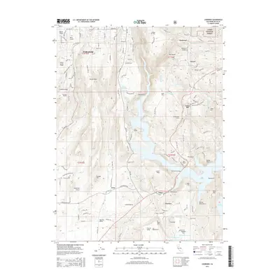
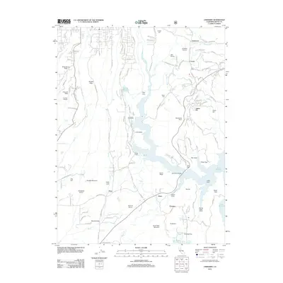 2012 Cherokee2012 Print · USGSCovers Paradise, including James, Cherokee, and other nearby areas
 - 2015 Map of Paradise West, 2015 Print
 2015 Paradise West2015 Print · USGSCovers Paradise, including Chico, Centerville, and other nearby areas
 - 2015 Map of Paradise East, 2015 Print
 2015 Paradise East2015 Print · USGSCovers Paradise, including Concow, Paradise Pines, and other nearby areas
 - 2015 Map of Cherokee, 2015 Print
 2015 Cherokee2015 Print · USGSCovers Paradise, including James, Cherokee, and other nearby areas
 - 2015 Map of Hamlin Canyon, 2015 Print
 2015 Hamlin Canyon2015 Print · USGSCovers Paradise, including Durham, Butte County, and other nearby areas
 - 2018 Map of Paradise East, 2018 Print
 2018 Paradise East2018 Print · USGSCovers Paradise, including Concow, Paradise Pines, and other nearby areas
 - 2018 Map of Hamlin Canyon, 2018 Print
 2018 Hamlin Canyon2018 Print · USGSCovers Paradise, including Durham, Butte County, and other nearby areas
 - 2018 Map of Paradise West, 2018 Print
 2018 Paradise West2018 Print · USGSCovers Paradise, including Chico, Centerville, and other nearby areas
 - 2018 Map of Cherokee, 2018 Print
 2018 Cherokee2018 Print · USGSCovers Paradise, including James, Cherokee, and other nearby areas
 - 2021 Map of Hamlin Canyon, 2021 Print
 2021 Hamlin Canyon2021 Print · USGSThe foothills of Butte County meet the valley floor in the 2020s, revealing a landscape of dramatic ridges and deep canyons. Researchers can trace landforms like Robbers Roost and Beauty Peak alongside modern landmarks such as Butte College.
 - 2021 Map of Paradise West, 2021 Print
 2021 Paradise West2021 Print · USGSButte County canyon country is seen here in recent years, where historic ridge routes and deep creek drainages meet the expanding outskirts of Chico. Researchers can trace old family sites near Helltown, Centerville Cem, and Whiskey Flat.
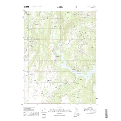
 - 2022 Map of Cherokee, 2022 Print
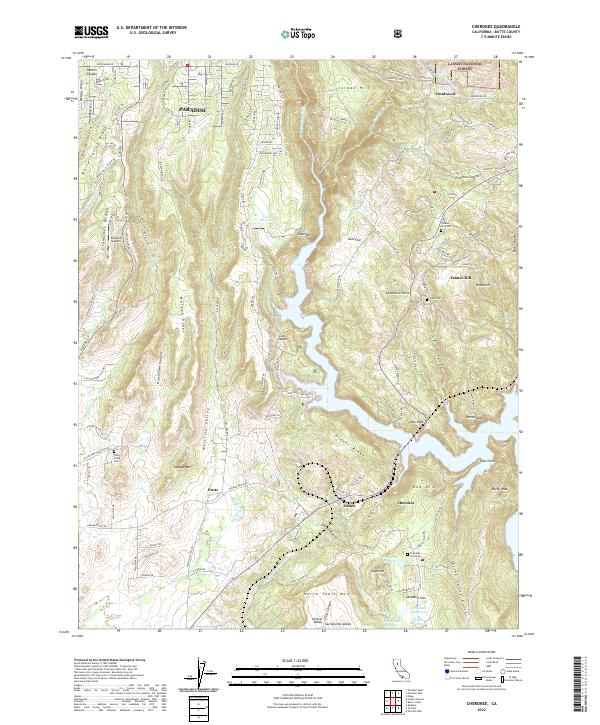 2022 Cherokee2022 Print · USGSThe foothills of Butte County are mapped here in the early 2020s, showing the intersection of ridge-top towns and deep river canyons. Trace local history through Cherokee Town Cem, the Upper Miocene Canal, and the early settlements of Yankee Hill and Pentz.
 - 2022 Map of Paradise East, 2022 Print
 2022 Paradise East2022 Print · USGSButte County ridge settlements and forest lands are documented here in the early twenty-first century. Genealogists and historians can locate family sites and cemeteries like Nimshew Cem and trace the waterways of Concow Reservoir and Paradise Lake.
End of results
Showing maps 1-16 of 16
Top cities near Paradise
Frequently asked questions
- What are the different types of historical maps available for Paradise?
- What is the oldest map of Paradise?
- Where can I purchase historical maps of Paradise for my home or office?
- Where can I download high-res historical maps of Paradise?
- Are there historical topographic maps available for Paradise?
- Is there historical aerial imagery available for Paradise?
- Where are historical maps of Paradise sourced from?