1960s Maps of Inyo County, California
Explore 17 historic maps of Inyo County from the 1960s. These maps offer a rare glimpse into what life looked like during the 1960s — showing old roads, neighborhoods, homes, and landmarks that have changed or disappeared over time.
Whether you're researching your family's past, planning a metal detecting trip, or studying how Inyo County's landscape evolved across the 1960s, these high-resolution maps are a powerful tool for exploring the history of this region.
- Focus on a specific era: All maps on this page are from the 1960s, giving you a focused view of this time period.
- See what’s changed: Compare century-old streets, trails, and buildings to today's modern landscape using overlays and satellite layers.
- Research with precision: Use these maps for genealogy, historical research, land use analysis, or educational projects.
- View, download, or print: Maps are fully viewable online in high resolution, and can be downloaded or printed for your own records.
Start exploring Inyo County's history through authentic maps from the 1960s. This is your window into the past.
Inyo County, CA maps
(17)- 1960 Map of Fresno
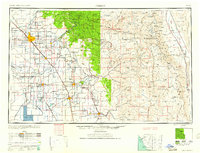 1960 Fresno1960 Print · USGSThe San Joaquin Valley's mid-century agricultural boom meets the high peaks of the Sierra Nevada in this detailed survey. Genealogists and historians can trace the rail-driven growth of Fresno, Tulare, and Visalia or locate family roots in smaller towns like Raisin City and Calwa City.2 unique versions available
 - 1960 Map of Trona
 1960 Trona1960 Print · USGSThe Mojave Desert at mid-century reveals a landscape of massive military installations and industrial mineral works. Researchers can trace the heritage of mining and ranching at Ashford Mill, Randsburg, and Paxton Ranch while following the Old Spanish Trail.2 unique versions available
 - 1960 Map of Kingman
 1960 Kingman1960 Print · USGSThe high desert landscape of the Arizona-Nevada border comes alive in the mid-twentieth century, showcasing the rise of recreation alongside deep-rooted mining history. Genealogists and historians can trace the roots of towns like Kingman and Oatman, or locate remote sites like the Lucky Dutchman Mine and Santa Claus.3 unique versions available
 - 1960 Map of Bakersfield
 1960 Bakersfield1960 Print · USGSThe Southern San Joaquin Valley at mid-century reveals a complex landscape of petroleum development and massive irrigation projects. Researchers can trace the rail lines of the Southern Pacific, explore oil-era landmarks like Oil City, and locate early settlements including Allensworth and Pixley.2 unique versions available
 - 1961 Map of Death Valley
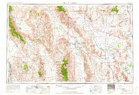 1961 Death Valley1961 Print · USGSDeath Valley and the Nevada borderlands are shown in the early sixties as a landscape of military testing and historic mining. Genealogists and researchers can locate remote settlements like Rhyolite, active operations at Darwin Mines, and cold-war sites such as the Nevada Proving Grounds.
 - 1962 Map of Goldfield
 1962 Goldfield1962 Print · USGSThe Nevada desert during the early sixties reveals a landscape of high-stakes military ranges and waning mining districts. Trace the path of the old railroad grade between Goldfield and Beatty, or locate the isolated sites of Gold Point and Lida.
 - 1962 Map of Las Vegas
 1962 Las Vegas1962 Print · USGSSouthern Nevada is captured here during a period of significant military and industrial growth in the early sixties. Researchers can trace the development of Las Vegas alongside the Magnesium Plant in Henderson and the expansive Nellis Air Force Base.
 - 1962 Map of Fresno, 1968 Print
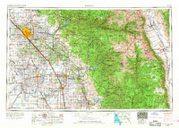 1962 Fresno1968 Print · USGSThe Central Valley and High Sierra meet in this mid-century survey, capturing the region's massive irrigation systems and mountain wilderness. Researchers can trace the rail corridors of the Southern Pacific and locate landmarks like the Tulare Lake Bed and Mount Whitney.3 unique versions available
 - 1962 Map of Bakersfield, 1969 Print
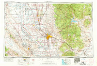 1962 Bakersfield1969 Print · USGSThe Southern San Joaquin Valley is shown in the 1960s as a bustling intersection of petroleum production, irrigation agriculture, and mountain recreation. Researchers can trace the rail lines of the Southern Pacific through the valley or locate early desert developments like California City and Tehachapi.4 unique versions available
 - 1963 Map of Mariposa
 1963 Mariposa1963 Print · USGSThe High Sierra and Owens Valley meet in the early sixties, showing a landscape defined by gold-rush history and massive post-war water projects. Genealogists and researchers can trace old mining routes near Mariposa, locate the Glacier Point Hotel, and find small settlements like Coarse Gold or Knowles Junction.
 - 1964 Map of Death Valley
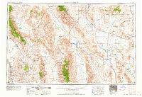 1964 Death Valley1964 Print · USGSThe California-Nevada borderlands are shown here in the mid-1960s, a landscape defined by extreme geography and strategic military testing. Researchers can locate remote mining sites like Skidoo Mines or trace the early tourist footprint at Stovepipe Wells Hotel.
 - 1965 Map of Death Valley
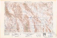 1965 Death Valley1965 Print · USGSThe California-Nevada borderlands are captured here in the mid-1960s, showing the high-desert transition from mining camps to military proving grounds. Researchers can locate remote settlements like Skidoo and Ballarat or trace the old Tonopah and Tidewater Railroad.
 - 1966 Map of Bakersfield
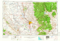 1966 Bakersfield1966 Print · USGSThe southern San Joaquin Valley in the mid-sixties reveals a massive industrial and agricultural landscape shaped by water and oil. Genealogists and historians can trace the growth of Bakersfield and Oildale, or locate remote airfields like Minter Field and Mojave-Kern County No. 7 Airport.
 - 1966 Map of Fresno
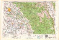 1966 Fresno1966 Print · USGSCentral California in the mid-1960s showcases a high-production agricultural valley rising into the granite peaks of the High Sierra. Researchers can trace irrigation networks, rail spurs like the Southern Pacific, and landmarks from Mount Whitney to the Lemoore Naval Air Station.
 - 1967 Map of Mount Whitney, 1972 Print
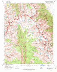 1967 Mount Whitney1972 Print · USGSThe High Sierra backcountry is shown here in the late sixties, where the boundaries of Sequoia and Kings Canyon National Parks meet. Trace the path of the John Muir Trail past Mount Whitney and locate remote outposts like the Crabtree Ranger Station.2 unique versions available
 - 1968 Map of High Peak, 1970 Print
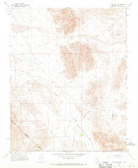 1968 High Peak1970 Print · USGSThe Nevada and California borderlands appear in the late sixties, centered on the Von Schmidt Line. Researchers can trace the path of the Old Traction Road or locate mineral interests like the isolated Prospect near High Peak.2 unique versions available
 - 1968 Map of Bonnie Claire SW, 1970 Print
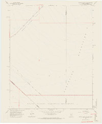 1968 Bonnie Claire SW1970 Print · USGSThe high desert along the Nevada and California border is captured here in the late sixties, where early surveying lines meet the basin floor. Trace the 19th-century Von Schmidt Line as it crosses Bonnie Claire Flat and the Grapevine Mountains.4 unique versions available
End of results
Showing maps 1-17 of 17
Top cities of Inyo County
- Bishop historical maps
- West Bishop historical maps
- Lone Pine historical maps
- Big Pine historical maps
- Independence historical maps
- Wilkerson historical maps
See more
Frequently asked questions
- What are the different types of historical maps available for Inyo County?
- What is the oldest map of Inyo County?
- Where can I purchase historical maps of Inyo County for my home or office?
- Where can I download high-res historical maps of Inyo County?
- Are there historical topographic maps available for Inyo County?
- Is there historical aerial imagery available for Inyo County?
- Where are historical maps of Inyo County sourced from?