2020s Maps of Inyo County, California
Explore 213 historic maps of Inyo County from the 2020s. These maps offer a rare glimpse into what life looked like during the 2020s — showing old roads, neighborhoods, homes, and landmarks that have changed or disappeared over time.
Whether you're researching your family's past, planning a metal detecting trip, or studying how Inyo County's landscape evolved across the 2020s, these high-resolution maps are a powerful tool for exploring the history of this region.
- Focus on a specific era: All maps on this page are from the 2020s, giving you a focused view of this time period.
- See what’s changed: Compare century-old streets, trails, and buildings to today's modern landscape using overlays and satellite layers.
- Research with precision: Use these maps for genealogy, historical research, land use analysis, or educational projects.
- View, download, or print: Maps are fully viewable online in high resolution, and can be downloaded or printed for your own records.
Start exploring Inyo County's history through authentic maps from the 2020s. This is your window into the past.
Inyo County, CA maps
(213)- 2021 Map of Wahguyhe Peak, 2021 Print
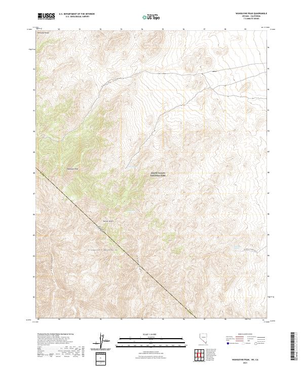 2021 Wahguyhe Peak2021 Print · USGSThe high Grapevine Mountains and Mojave Desert borderlands are captured in this modern survey. Researchers can trace remote desert geography through Wahguyhe Peak, the winding Titus Canyon, and isolated watering holes like McDonald Spring.
 - 2021 Map of Grapevine Peak, 2021 Print
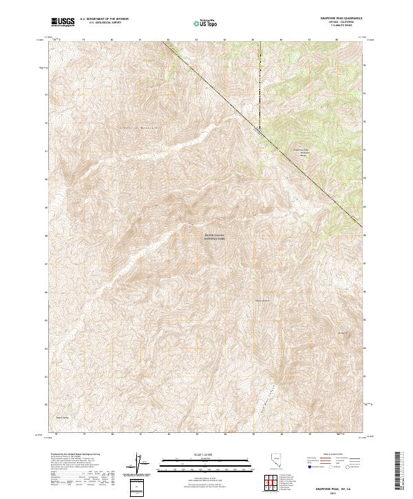 2021 Grapevine Peak2021 Print · USGSThe high desert borderlands between Nevada and California are captured here in the early twenty-first century. Topographic researchers can trace the summits of the Grapevine Mountains and Grapevine Peak alongside the descent into Red Wall Canyon.
 - 2021 Map of Bole Spring, 2021 Print
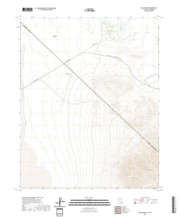 2021 Bole Spring2021 Print · USGSThe Nevada-California state line bisects these arid borderlands at a time when remote desert oases remain the primary landmarks of the terrain. Researchers can trace the essential water network of the Amargosa Desert through Big Spring, Last Chance Spring, and the prominent rise of Shadow Mtn.
 - 2021 Map of Sixmile Spring, 2021 Print
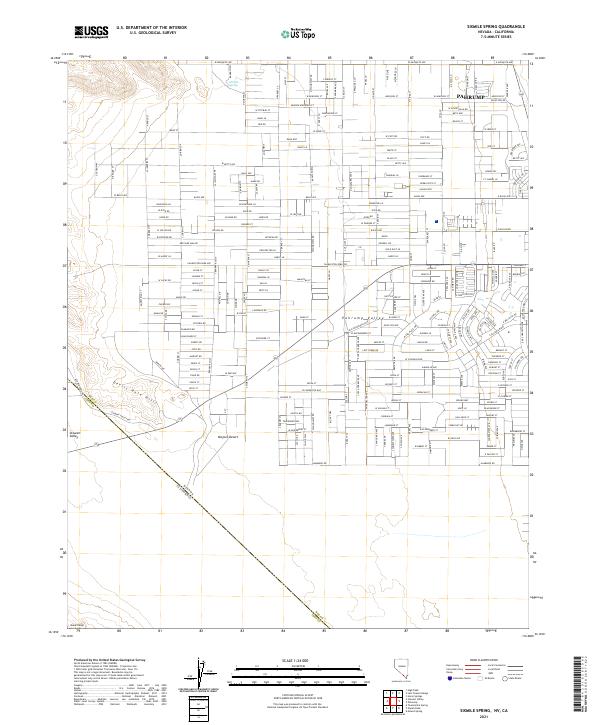 2021 Sixmile Spring2021 Print · USGSThe Pahrump Valley at the start of the 2020s shows a unique intersection of modern suburban growth and desert wilderness. Researchers can trace the residential grid near Pahrump and locate the historic Sixmile Spring tucked against the Devils Hole Hills.
 - 2021 Map of Gold Center, 2021 Print
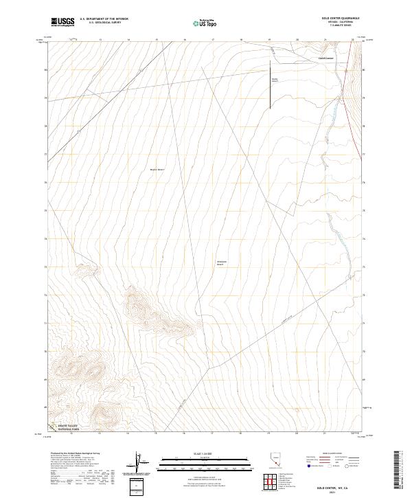 2021 Gold Center2021 Print · USGSThe northern Mojave Desert comes into focus in this recent survey of the Nevada-California borderlands. Genealogists and desert historians can trace the roads around Gold Center, locate the Beatty Airport, and follow the ephemeral Amargosa River near the park boundary.
 - 2021 Map of Bonnie Claire SW, 2021 Print
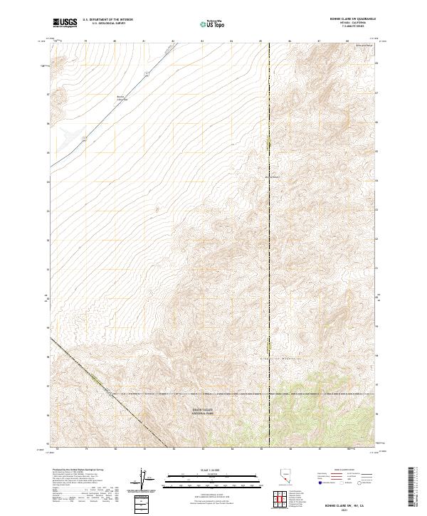 2021 Bonnie Claire SW2021 Print · USGSThe Nevada and California borderlands meet in this desert landscape during the early 2020s. Researchers can trace the northern boundary of Death Valley National Park as it reaches past the Grapevine Mountains and the open Bonnie Claire Flat.
 - 2021 Map of Sylvania Mountains, 2021 Print
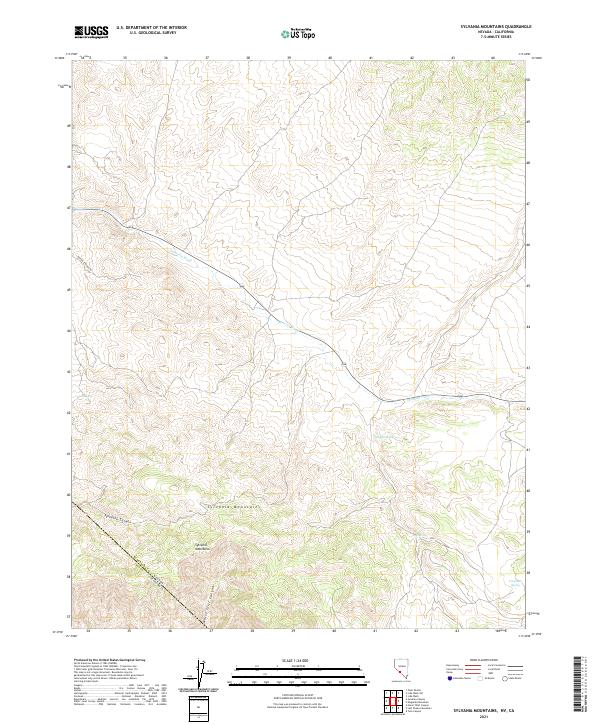 2021 Sylvania Mountains2021 Print · USGSThe Sylvania Mountains straddle the border of Esmeralda County and Inyo County in this contemporary survey of the high desert. Researchers can trace essential desert water sources like Pigeon Spring and Log Spring or follow the path of Pigeon Springs Rd.
 - 2021 Map of Mound Spring, 2021 Print
 2021 Mound Spring2021 Print · USGSThe Nevada-California borderlands come into focus in the early 2020s as residential grids expand across the Mojave Desert. Genealogists and desert researchers can trace modern road networks like Homestead Rd near natural water sources like Mound Spring and Browns Spring.
 - 2021 Map of Gold Mountain, 2021 Print
 2021 Gold Mountain2021 Print · USGSThe northern edge of the Mojave Desert and the peaks of the Gold Mountain Range define this high-desert landscape in 2021. Researchers can locate remote water sources like Willow Spring and trace the boundaries of Death Valley National Park.
 - 2021 Map of Ashton, 2021 Print
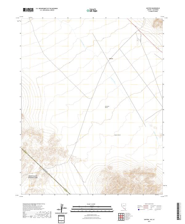 2021 Ashton2021 Print · USGSThe Nevada and California borderlands come into focus in 2021, showing the remote desert landscape at the edge of the Great Basin. Trace the path of the Amargosa River past the settlement of Ashton and into the boundaries of Death Valley National Park.
 - 2021 Map of Green Monster Mine, 2021 Print
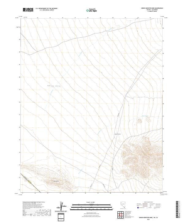 2021 Green Monster Mine2021 Print · USGSThe arid borderlands between Nevada and California come into focus during the early twenty-first century. Local history researchers can trace the course of Potosi Wash and Lovell Wash as they cross through the Pahrump Valley and near the base of Black Butte.
 - 2021 Map of Stump Spring, 2021 Print
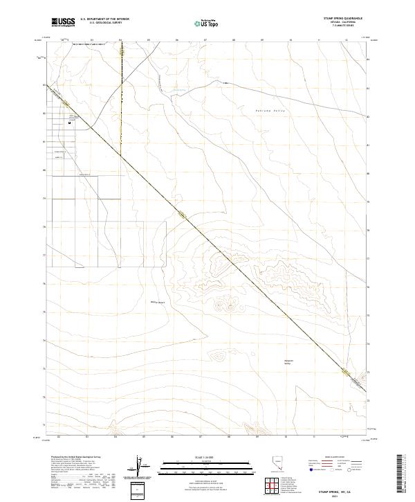 2021 Stump Spring2021 Print · USGSCrossing the Nevada and California border in the early twenty-first century, this map traces the desert corridor of the Old Spanish Trail Hwy. Researchers can locate the Saint Therese Mission Cem Grounds and the namesake Stump Spring in the northern valleys.
 - 2021 Map of High Peak, 2021 Print
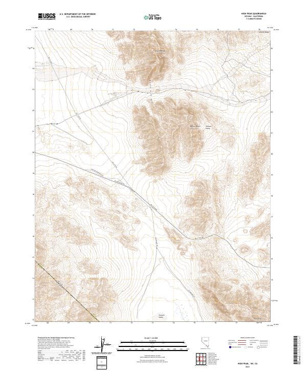 2021 High Peak2021 Print · USGSNye County, Nevada, and Inyo County, California, meet in this modern desert survey where the Mojave Desert meets the Stewart Valley. Researchers can trace the precise topographic contours of Pupfish Peak, Devils Hole Hills, and the Johnnie Range.
 - 2021 Map of Leeland, 2021 Print
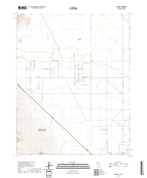 2021 Leeland2021 Print · USGSThe Nevada and California borderlands come into focus in the early twenty-first century as the Amargosa Desert meets Death Valley National Park. Researchers can trace the rural grid and desert drainages like the Amargosa River and T & T Road Ranch Rd.
 - 2021 Map of Tule Canyon, 2021 Print
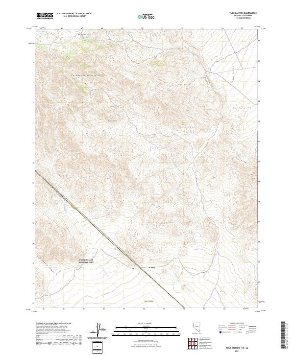 2021 Tule Canyon2021 Print · USGSThe high desert borderlands of Nevada and California are shown here in modern detail, capturing the intersection of the Mojave Desert and Death Valley National Park. Trace historical water sources like Walker Spring and the steep terrain of Tule Canyon.
 - 2021 Map of West of Gold Mountain, 2021 Print
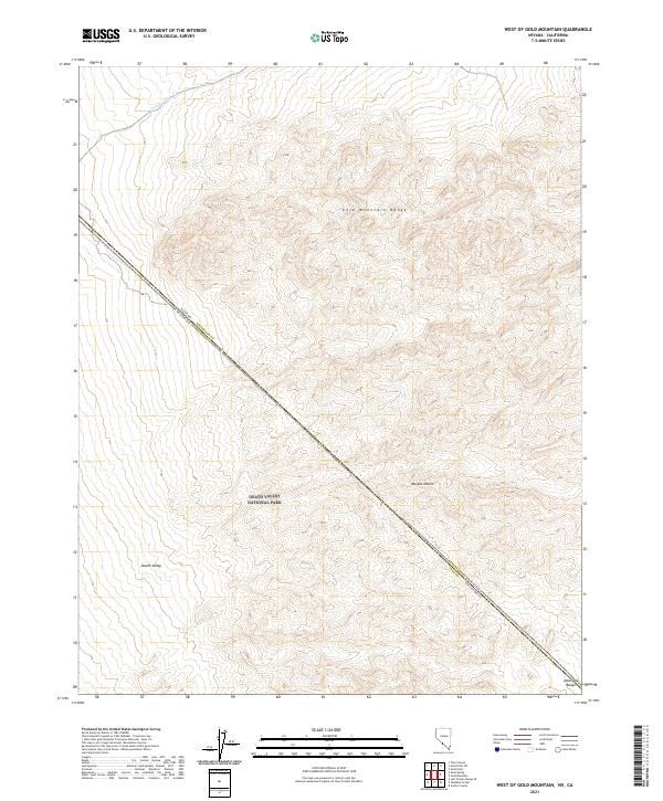 2021 West of Gold Mountain2021 Print · USGSThe Nevada and California borderlands meet here in the high desert during the early twenty-first century. Researchers can trace the boundary of Death Valley National Park and the rugged slopes of the Gold Mountain Range and Amargosa Range.
 - 2021 Map of Mormon Point, 2021 Print
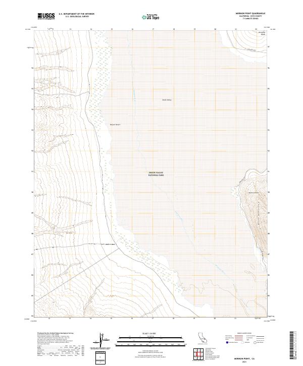 2021 Mormon Point2021 Print · USGSDeath Valley and the surrounding peaks are captured in this 2021 survey, documenting the arid basin of the Mojave Desert as it appeared in recent years. Researchers can trace the path of the Amargosa River or follow Badwater Road past the prominent Mormon Point.
 - 2021 Map of Dry Mountain, 2021 Print
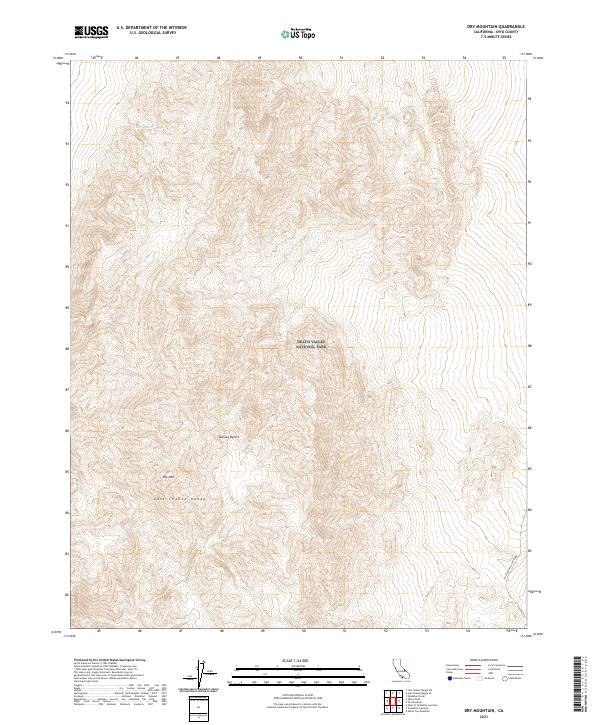 2021 Dry Mountain2021 Print · USGSInyo County's high desert peaks and valley floors are meticulously documented in the contemporary era. Researchers can trace the steep ridgelines of the Last Chance Range down toward Racetrack Valley Road and the landmark known as Marble Bath.
 - 2021 Map of Cactus Peak, 2021 Print
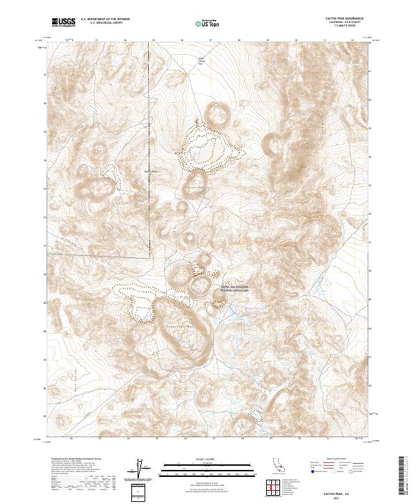 2021 Cactus Peak2021 Print · USGSThe high California desert comes into focus in this 2021 survey of the southern Coso Range. Geological researchers and explorers can trace unique geothermal features like Coso Hot Springs and Devils Kitchen near Cactus Peak.
 - 2021 Map of New York Butte, 2021 Print
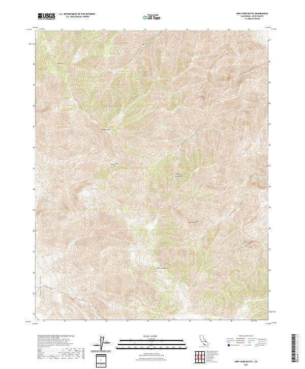 2021 New York Butte2021 Print · USGSThe Inyo Mountains rise sharply above the Owens Valley and Mojave Desert in this contemporary survey of California's high country. Researchers can locate remote water sources like French Spring and track the steep contours of New York Butte and Keynot Peak.
 - 2021 Map of Panamint Springs, 2021 Print
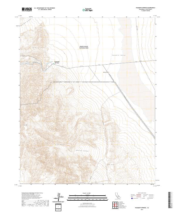 2021 Panamint Springs2021 Print · USGSThe high desert landscape near Panamint Springs is documented in the early twenty-first century as it borders the Argus Range. Researchers can trace the path of SR 190 past Darwin Wash and explore landmarks like Zinc Hill and Ash Hill.
 - 2021 Map of Sand Flat, 2021 Print
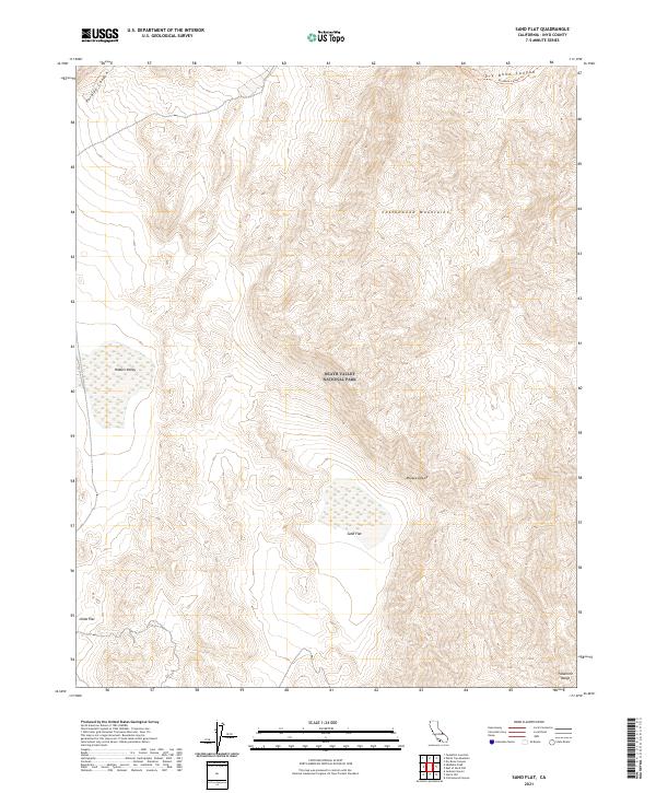 2021 Sand Flat2021 Print · USGSInyo County's high-desert wilderness is recorded here in the twenty-first century, showcasing the intersection of the Mojave and the northern Death Valley mountains. Researchers can trace the rugged drainage of Dry Bone Canyon and locate remote flats like Sand Flat or Ulida Flat.
 - 2021 Map of Lee Wash, 2021 Print
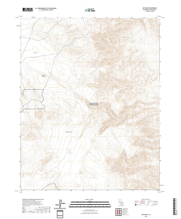 2021 Lee Wash2021 Print · USGSThe high desert of Inyo County is captured here in the early 2020s, showcasing the intersection of the Santa Rosa Hills and Death Valley National Park. Researchers can trace the path of SR 190 as it crosses the Darwin Plateau and winds toward the Mojave Desert.
 - 2021 Map of Daylight Pass, 2021 Print
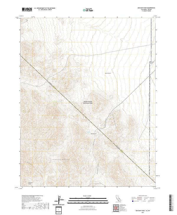 2021 Daylight Pass2021 Print · USGSThe high desert border of California and Nevada comes alive in this study of the Amargosa Range during the early twenty-first century. Researchers can trace the passage through Boundary Canyon or locate remote water sources like Willow Spring and Daylight Spring.
 - 2021 Map of Jail Canyon, 2021 Print
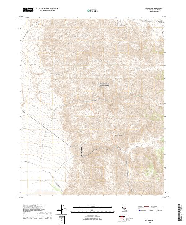 2021 Jail Canyon2021 Print · USGSThe Panamint Range meets the Mojave Desert in this 2021 study of the high western slopes above the Panamint Valley. You can trace historical backcountry routes like the Jail Canyon To Hall Canyon Trl and investigate the steep drainages of Tuber Canyon and Wildrose Canyon.
Showing maps 1-25 of 213
Top cities of Inyo County
- Bishop historical maps
- West Bishop historical maps
- Lone Pine historical maps
- Big Pine historical maps
- Independence historical maps
- Wilkerson historical maps
See more
Frequently asked questions
- What are the different types of historical maps available for Inyo County?
- What is the oldest map of Inyo County?
- Where can I purchase historical maps of Inyo County for my home or office?
- Where can I download high-res historical maps of Inyo County?
- Are there historical topographic maps available for Inyo County?
- Is there historical aerial imagery available for Inyo County?
- Where are historical maps of Inyo County sourced from?