2000s (21st Century) Maps of Olancha, California
Explore 16 historic maps of Olancha from the 2000s (21st Century). These maps offer a rare glimpse into what life looked like during the 2000s — showing old roads, neighborhoods, homes, and landmarks that have changed or disappeared over time.
Whether you're researching your family's past, planning a metal detecting trip, or studying how Olancha's landscape evolved across the 2000s, these high-resolution maps are a powerful tool for exploring the history of this region.
- Focus on a specific era: All maps on this page are from the 2000s, giving you a focused view of this time period.
- See what’s changed: Compare century-old streets, trails, and buildings to today's modern landscape using overlays and satellite layers.
- Research with precision: Use these maps for genealogy, historical research, land use analysis, or educational projects.
- View, download, or print: Maps are fully viewable online in high resolution, and can be downloaded or printed for your own records.
Start exploring Olancha's history through authentic maps from the 2000s. This is your window into the past.
Olancha, CA maps
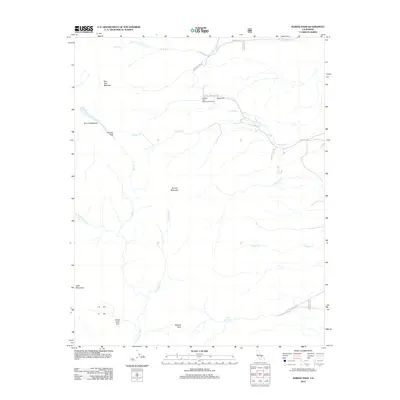
(16)- 2012 Map of Vermillion Canyon, 2012 Print
 2012 Vermillion Canyon2012 Print · USGSCovers Olancha, including Grant, Inyo County, and other nearby areas
 - 2012 Map of Haiwee Reservoirs, 2012 Print
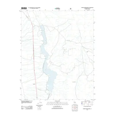 2012 Haiwee Reservoirs2012 Print · USGSCovers Olancha, including Haiwee, Inyo County, and other nearby areas
 - 2012 Map of Haiwee Pass, 2012 Print
 2012 Haiwee Pass2012 Print · USGSCovers Olancha, including Sage Flats, Walker Creek, and other nearby areas
 - 2012 Map of Olancha, 2012 Print
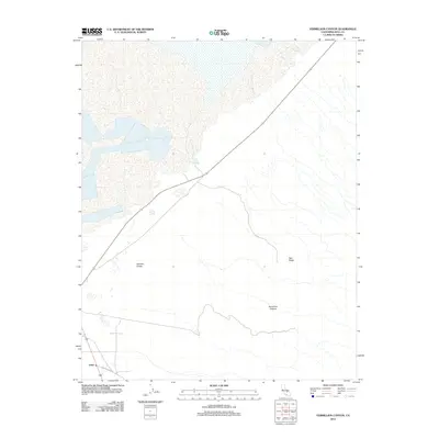
 2012 Olancha2012 Print · USGSCovers Olancha, including Cartago, Tulare County, and other nearby areas
 - 2015 Map of Haiwee Reservoirs, 2015 Print
 2015 Haiwee Reservoirs2015 Print · USGSCovers Olancha, including Haiwee, Inyo County, and other nearby areas
 - 2015 Map of Vermillion Canyon, 2015 Print
 2015 Vermillion Canyon2015 Print · USGSCovers Olancha, including Grant, Inyo County, and other nearby areas
 - 2015 Map of Haiwee Pass, 2015 Print
 2015 Haiwee Pass2015 Print · USGSCovers Olancha, including Sage Flats, Walker Creek, and other nearby areas
 - 2015 Map of Olancha, 2015 Print
 2015 Olancha2015 Print · USGSCovers Olancha, including Cartago, Tulare County, and other nearby areas
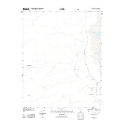
 - 2018 Map of Olancha, 2018 Print
 2018 Olancha2018 Print · USGSCovers Olancha, including Cartago, Tulare County, and other nearby areas
 - 2018 Map of Haiwee Pass, 2018 Print
 2018 Haiwee Pass2018 Print · USGSCovers Olancha, including Sage Flats, Walker Creek, and other nearby areas
 - 2018 Map of Haiwee Reservoirs, 2018 Print
 2018 Haiwee Reservoirs2018 Print · USGSCovers Olancha, including Haiwee, Inyo County, and other nearby areas
 - 2018 Map of Vermillion Canyon, 2018 Print
 2018 Vermillion Canyon2018 Print · USGSCovers Olancha, including Grant, Inyo County, and other nearby areas
 - 2021 Map of Haiwee Reservoirs, 2021 Print
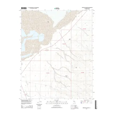
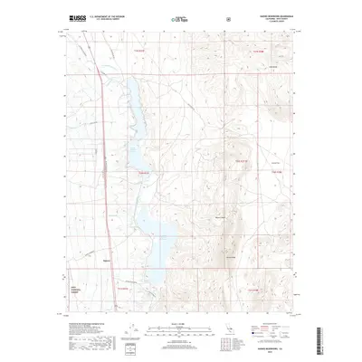
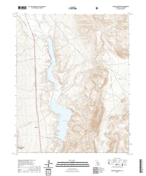 2021 Haiwee Reservoirs2021 Print · USGSSouthern Owens Valley and the edge of the Mojave Desert are shown here in the early twenty-first century as part of California's vital water corridor. Trace the infrastructure of the Los Angeles Aqueduct and the Second Los Angeles Aqueduct near the settlement of Haiwee.
 - 2021 Map of Vermillion Canyon, 2021 Print
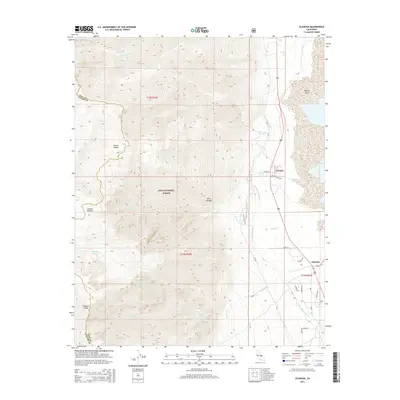
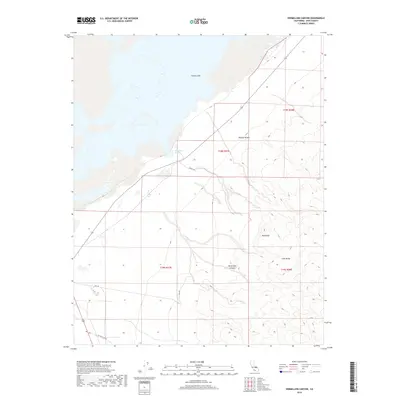
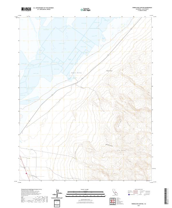 2021 Vermillion Canyon2021 Print · USGSOwens Lake and the Coso Range meet in this 2021 study of the California desert landscape. Trace the rugged terrain through Vermillion Canyon or locate Dirty Socks Spring along the edge of the Owens Valley.
 - 2021 Map of Olancha, 2021 Print
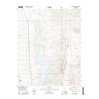
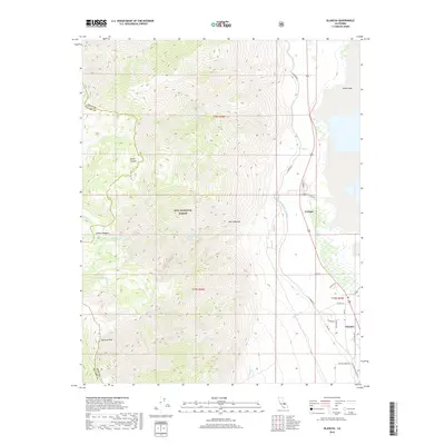
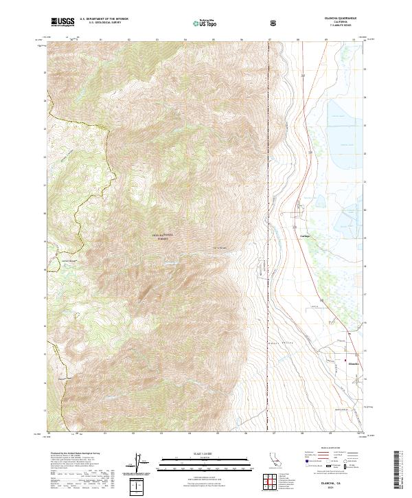 2021 Olancha2021 Print · USGSThe eastern slopes of the Sierra Nevada meet the Owens Valley floor in this 2021 study of the California high desert. Researchers can trace the path of the L A Aqueduct past historic settlements like Olancha and Cartago near the shores of Owens Lake.
 - 2021 Map of Haiwee Pass, 2021 Print
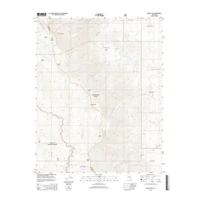
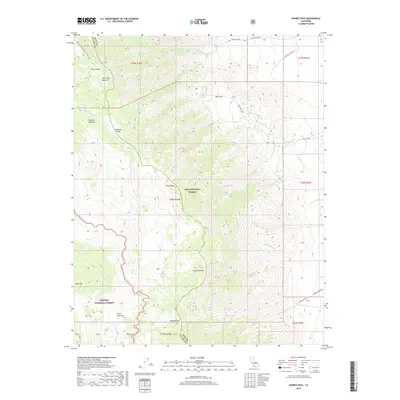
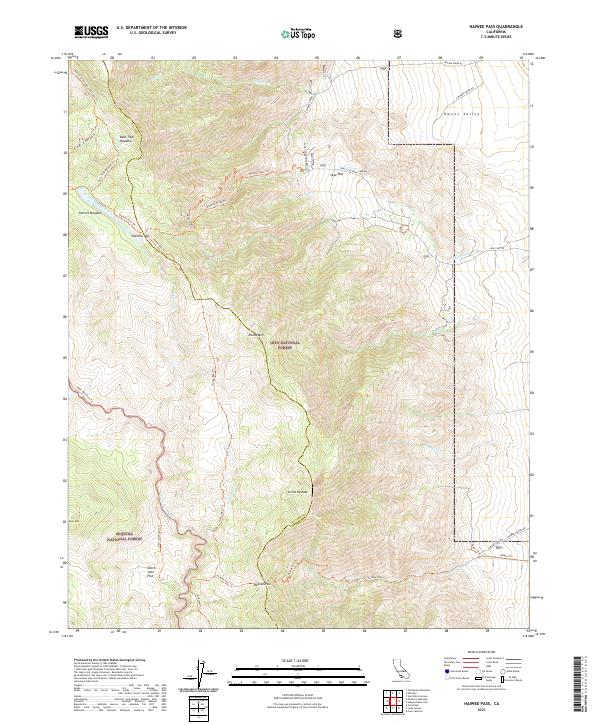 2021 Haiwee Pass2021 Print · USGSThe high Sierra Nevada passes and wilderness boundaries come alive in this 2020s study of the Inyo and Sequoia borderlands. Researchers can trace historical routes like the Olancha Pass Trl and Haiwee Pass Trl past landmarks such as Dutch John Flat and Soda Spring.
End of results
Showing maps 1-16 of 16
Top neighborhoods of Olancha
Frequently asked questions
- What are the different types of historical maps available for Olancha?
- What is the oldest map of Olancha?
- Where can I purchase historical maps of Olancha for my home or office?
- Where can I download high-res historical maps of Olancha?
- Are there historical topographic maps available for Olancha?
- Is there historical aerial imagery available for Olancha?
- Where are historical maps of Olancha sourced from?