Old Maps of West Bishop, California for Metal Detecting
Plan your next treasure hunt with 31 historic maps of West Bishop. Find old homesites, ghost towns, trails, and gathering spots that may be lost to time — perfect for identifying promising metal detecting locations.
- Locate forgotten sites: Uncover places like long-lost settlements, abandoned rail lines, or gathering spots.
- Plan better hunts: Use map overlays combined with LiDAR or satellite views to narrow in on historically rich areas.
- Made for detectorists: Thousands of hobbyists use these maps to discover relics, coins, and hidden history.
Use these historic maps to boost your research and find new opportunities beneath the surface of West Bishop.
West Bishop, CA maps
(31)- 1912 Map of Mt. Goddard
 1912 Mt. Goddard1912 Print · USGSThe high Sierra crest at the opening of the twentieth century remains a land of seasonal camps and early hydroelectric power. Trace the old trails to Andrews Camp, the Old Brewery near Bishop, and early wilderness outposts at Hot Springs.10 unique versions available
 - 1913 Map of Bishop
 1913 Bishop1913 Print · USGSThe Owens Valley was a landscape of high-altitude industry and burgeoning towns in the years before massive water diversions. Trace the path of the Southern Pacific Railroad through Laws and Big Pine, or locate family sites like Roberts Ranch and the Riverside School.8 unique versions available
 - 1947 Map of Mariposa, 1948 Print
 1947 Mariposa1948 Print · USGSThe High Sierra and Owens Valley transition is captured here in the late 1940s, just as the region’s hydroelectric and tourism infrastructure was maturing. Genealogists and historians can trace old ranger stations, the Casa Diablo Mine, and rail stops along the Southern Pacific like Benton Station and Zurich.2 unique versions available
 - 1948 Map of Mariposa, 1951 Print
 1948 Mariposa1951 Print · USGSThe High Sierra and Mariposa foothills are shown here in the late 1940s as the post-war tourism and water infrastructure expanded. Genealogists and historians can locate vanished waypoints like Mormon Bar, the Glacier Point Hotel, and the granite quarries of Knowles.
 - 1949 Map of Mt. Tom, 1955 Print
 1949 Mt. Tom1955 Print · USGSIn the Sierra Nevada during the late 1940s, the tungsten mining boom transformed the landscape around Round Valley. Researchers can trace industrial sites like the Adamson Mine, locate the Round Valley School, and explore the canyon routes leading to Scheelite.6 unique versions available
 - 1949 Map of Bishop, 1956 Print
 1949 Bishop1956 Print · USGSThe Owens Valley was a center of mining and water engineering at mid-century, dominated by the growth of Bishop. Researchers can trace the legacy of tribal lands at the Paiute Shoshone Indian Reservation or locate extraction sites like the Rossi Tungsten Mine and Southern Belle Mine.4 unique versions available
 - 1951 Map of Mt. Tom
 1951 Mt. Tom1951 Print · USGSInyo County mining reached its peak in the early fifties as tungsten and vanadium extraction transformed the eastern Sierra slopes. Researchers can trace the era's industrial footprint through the Pine Creek Mine, Tungsten Hills, and the company town at Rovana.2 unique versions available
 - 1951 Map of Bishop
 1951 Bishop1951 Print · USGSOwens Valley thrives as an agricultural and mining center in the early fifties, mapped just before local shifts in water and rail. Trace the Southern Pacific line past Laws or locate the Southern Belle Mine and Keough Hot Springs.
 - 1954 Map of Mt. Tom, 1955 Print
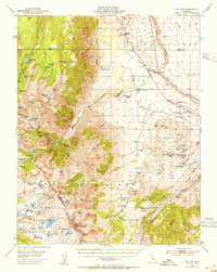 1954 Mt. Tom1955 Print · USGSThe eastern Sierra Nevada is captured here during the peak of its mid-century tungsten mining boom. Genealogists and historians can trace the industrial footprints of Scheelite and Rovana, or locate remote landmarks like Paradise Camp and the Round Valley School.2 unique versions available
 - 1957 Map of Mariposa, 1966 Print
 1957 Mariposa1966 Print · USGSThe High Sierra and Owens Valley appear in the mid-fifties, showing the intersection of conservation, hydroelectric power, and mountain industry. Genealogists and researchers can trace local landmarks like Yosemite Cemetery, the remote Kinsley Station, and the Pine Creek Mine.4 unique versions available
 - 1963 Map of Mariposa
 1963 Mariposa1963 Print · USGSThe High Sierra and Owens Valley meet in the early sixties, showing a landscape defined by gold-rush history and massive post-war water projects. Genealogists and researchers can trace old mining routes near Mariposa, locate the Glacier Point Hotel, and find small settlements like Coarse Gold or Knowles Junction.
 - 1978 Map of Bishop, 1994 Print
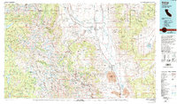 1978 Bishop1994 Print · USGSThe Owens Valley and Eastern Sierra come alive in this late seventies study, documenting a landscape shaped by mining and high-altitude water storage. Local researchers can trace family names and industry at Pine Creek Mine, Scheelite, and Lucky Strike Mine.2 unique versions available
 - 1982 Map of Tungsten Hills, 1983 Print
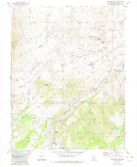 1982 Tungsten Hills1983 Print · USGSThe eastern Sierra Nevada of Inyo County is seen here in the early eighties as a hub of both mining and mountain recreation. Researchers can trace the extensive operations at the Tungsten Blue Mine or locate high-country retreats like Big Trees Campground and Sharps Meadow.2 unique versions available
 - 1984 Map of Fish Slough
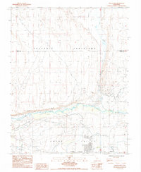 1984 Fish Slough1984 Print · USGSThe Owens Valley area in the mid-1980s reveals a landscape shaped by both geology and irrigation. Researchers can trace the water network from Fish Slough to the Owens River, while locating sites like Brockmans Corner and the Bishop Paute Indian Res.2 unique versions available
 - 1984 Map of Bishop
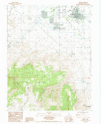 1984 Bishop1984 Print · USGSBishop and the Owens Valley floor are captured here in the mid-1980s, showcasing the intersection of high-desert industry and community life. Genealogists and historians can locate the Pioneer Cem, trace the waters of Keough Hot Springs, or find old mining sites like Chipmunk Mine.2 unique versions available
 - 1990 Map of Tungsten Hills, 1995 Print
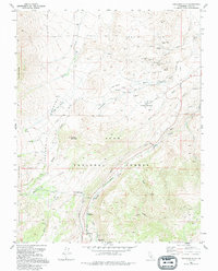 1990 Tungsten Hills1995 Print · USGSThe mining landscape of Inyo County is preserved here in the late twentieth century, showing the intersection of heavy industry and wilderness. Researchers can trace the layout of historical operations like the Aeroplane Mine and Jackrabbit Mine or locate high-country meadows like Sharps Meadow.
 - 1994 Map of Bishop, 1997 Print
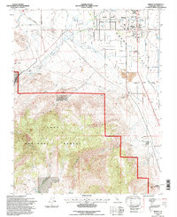 1994 Bishop1997 Print · USGSBishop and the Owens Valley floor are shown in the mid-1990s, revealing a landscape of high-desert settlement and mountain water management. Researchers can trace local landmarks like Keough Hot Springs, the Pioneer Cem, and the Yancy Mine.
 - 1994 Map of Fish Slough, 1997 Print
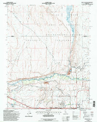 1994 Fish Slough1997 Print · USGSThe northern edge of Bishop meets the high desert in the mid-1990s, revealing a landscape defined by Owens Valley water history. Trace the paths of the South McNally Canal, the Bishop Paiute Indian Res, and the springs of Fish Slough.
 - 1994 Map of Tungsten Hills, 1997 Print
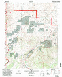 1994 Tungsten Hills1997 Print · USGSInyo County's high desert and mountain slopes are captured here in the mid-nineties, showing the intersection of industrial mining and forest conservation. You can trace early mining claims like the White Caps Mine or locate the infrastructure of the Bishop Creek Aqueduct.
 - 2012 Map of Fish Slough, 2012 Print
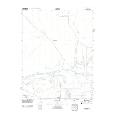 2012 Fish Slough2012 Print · USGSInyo County's high desert landscape and the northern edge of Bishop are captured here in the early twenty-first century. Researchers can trace historic access routes like Casa Diablo Mine Rd and the vital water flow of the Owens River past Chalk Bluff.
 - 2012 Map of Tungsten Hills, 2012 Print
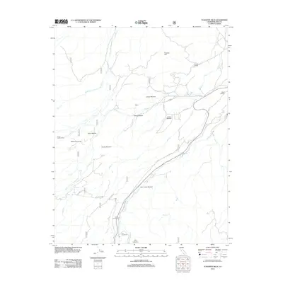 2012 Tungsten Hills2012 Print · USGSThe high Sierra foothills west of Bishop come alive in this modern survey of the early twenty-first century landscape. Trace the winding paths of Buttermilk Rd and Starlite Dr past historic high-country sites like McGee Meadow and Tungsten Hills.
 - 2012 Map of Bishop, 2012 Print
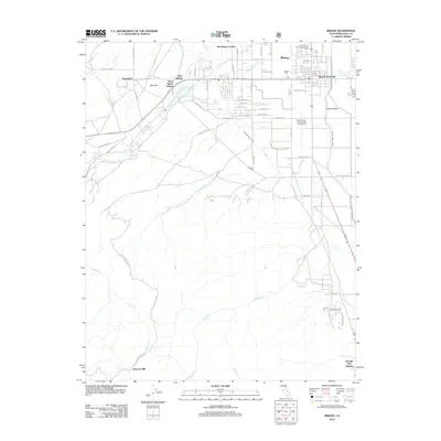 2012 Bishop2012 Print · USGSBishop and the surrounding Owens Valley are shown here in the early twenty-first century, highlighting a landscape shaped by water and mountain geography. Genealogists and local historians can trace family plots at Pioneer Cem or locate community landmarks like Peterson Mill and Keough Hot Springs.
 - 2015 Map of Bishop, 2015 Print
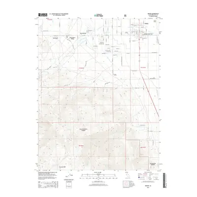 2015 Bishop2015 Print · USGSThe Bishop area is documented here during the mid-2010s, showing the town's expansion toward the Sierra Nevada foothills. Family historians can locate several burial grounds including Pioneer Cemetery and Sunland Cemetery, or trace local landmarks like Keough Hot Springs and Oteys Sierra Village.
 - 2015 Map of Fish Slough, 2015 Print
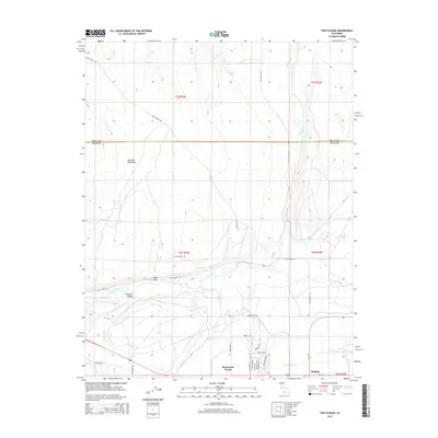 2015 Fish Slough2015 Print · USGSThe northern Owens Valley and the high plateaus of the Volcanic Tableland are captured here in the early twenty-first century. Researchers can trace the water systems of the S McNally Canal and Fish Slough or locate residences near Brockmans Corner and Bishop.
 - 2015 Map of Tungsten Hills, 2015 Print
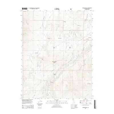 2015 Tungsten Hills2015 Print · USGSThe eastern Sierra slopes near Bishop come into sharp focus in this mid-2010s survey, documenting the transition from high-desert hills to national forest peaks. Researchers can trace the routes to historic mining areas via Tungsten City Rd or locate remote grazing spots like Dutch Johns Meadow and Upper Meadow.
Showing maps 1-25 of 31
Top cities near West Bishop
- Bishop historical maps
- Dixon Lane–Meadow Creek historical maps
- Big Pine historical maps
- Chalfant Valley historical maps
- Wilkerson historical maps
- Round Valley historical maps
See more
Top neighborhoods of West Bishop
Frequently asked questions
- What are the different types of historical maps available for West Bishop?
- What is the oldest map of West Bishop?
- Where can I purchase historical maps of West Bishop for my home or office?
- Where can I download high-res historical maps of West Bishop?
- Are there historical topographic maps available for West Bishop?
- Is there historical aerial imagery available for West Bishop?
- Where are historical maps of West Bishop sourced from?