Old Maps of Wasco, California for Genealogy
Trace your family roots with 20 historic maps of Wasco. These high-res maps reveal old neighborhoods, homesites, landmarks, and streets — helping you uncover where your ancestors lived and how the area evolved over time.
- Explore historic neighborhoods: Identify where your relatives may have lived in the 1800s or 1900s.
- Compare maps over time: Trace the changes in streets, buildings, and landmarks for multi-generational research.
- Perfect for genealogy & ancestry research: Used by family historians and researchers to map out lineage and migration.
These maps are an incredible resource for exploring your personal connection to Wasco's past.
Wasco, CA maps
(20)- 1930 Map of Leonards
 1930 Leonards1930 Print · USGSKern County ranch land and sporting clubs appear in detail during the late 1920s as irrigation and power infrastructure expanded across the valley floor. Genealogists and historians can locate family-named sites like Goose Lake Ranch and the social hub of the Falcon Fliers Club.3 unique versions available
 - 1930 Map of Wasco
 1930 Wasco1930 Print · USGSKern County farming and rail commerce are in full swing in the late 1920s. Genealogists can trace family footprints near Wasco, Shafter, and Hoover Ranch, or locate local landmarks like Maple Sch and the Seventh Day Adventist Ch.3 unique versions available
 - 1943 Map of Wasco
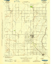 1943 Wasco1943 Print · USGSAgricultural and oil interests converge in 1940s Kern County as the irrigation network expands. Genealogists can trace family holdings like Goose Lake Ranch or local landmarks including Pondham Sch and the Wasco Oil Field.
 - 1948 Map of Bakersfield
 1948 Bakersfield1948 Print · USGSBakersfield and the southern San Joaquin Valley appear in the late 1940s, showing a landscape of burgeoning oil towns, rail junctions, and early irrigation canals. Genealogists and historians can trace the foundations of local industry through Gardner Field, the Sunset Railway, and the shores of Buena Vista Lake.2 unique versions available
 - 1953 Map of Wasco, 1954 Print
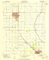 1953 Wasco1954 Print · USGSThe agricultural heart of Kern County comes into focus in the early fifties as Wasco and Shafter expand along the rail lines. Trace family roots and local history at Union High School, Myricks Corner, and the U S Agricultural Experiment Sta.3 unique versions available
 - 1953 Map of Wasco SW, 1954 Print
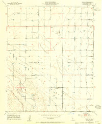 1953 Wasco SW1954 Print · USGSKern County's oil and ranching landscape is captured here in the early fifties, showing the region before modern industrial expansion. Genealogists and historians can locate the Cem near Gromer Ave and trace the operations of the Wasco Oil Field and Goose Lake Ranch.2 unique versions available
 - 1955 Map of Bakersfield
 1955 Bakersfield1955 Print · USGSThe southern San Joaquin Valley in the mid-fifties shows an era of massive oil production and industrial irrigation. Trace family roots in Allensworth, the oil fields of Oildale, or the shorelines of Tulare Lake and Buena Vista Lake.
 - 1956 Map of Bakersfield
 1956 Bakersfield1956 Print · USGSThe southern San Joaquin Valley and High Sierra come alive in the mid-fifties, showing the region's complex agricultural and rail networks. Genealogists and historians can trace family roots in towns like Bakersfield, Taft, and Delano, or locate early infrastructure along the Sunset Railway.
 - 1960 Map of Bakersfield
 1960 Bakersfield1960 Print · USGSThe Southern San Joaquin Valley at mid-century reveals a complex landscape of petroleum development and massive irrigation projects. Researchers can trace the rail lines of the Southern Pacific, explore oil-era landmarks like Oil City, and locate early settlements including Allensworth and Pixley.2 unique versions available
 - 1962 Map of Bakersfield, 1969 Print
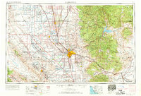 1962 Bakersfield1969 Print · USGSThe Southern San Joaquin Valley is shown in the 1960s as a bustling intersection of petroleum production, irrigation agriculture, and mountain recreation. Researchers can trace the rail lines of the Southern Pacific through the valley or locate early desert developments like California City and Tehachapi.4 unique versions available
 - 1966 Map of Bakersfield
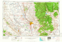 1966 Bakersfield1966 Print · USGSThe southern San Joaquin Valley in the mid-sixties reveals a massive industrial and agricultural landscape shaped by water and oil. Genealogists and historians can trace the growth of Bakersfield and Oildale, or locate remote airfields like Minter Field and Mojave-Kern County No. 7 Airport.
 - 1993 Map of Delano
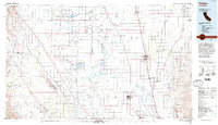 1993 Delano1993 Print · USGSThe San Joaquin Valley's industrial and agricultural heartland is captured here in the early nineties, showing a landscape shaped by petroleum and irrigation. Genealogists and historians can trace settlements from McFarland to Alpaugh, alongside the Colonel Allensworth State Historic Park and the sprawling Trico Gas Field.2 unique versions available
 - 2012 Map of Wasco SW, 2012 Print
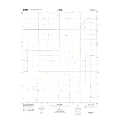 2012 Wasco SW2012 Print · USGSThe San Joaquin Valley landscape west of Wasco is defined by a rigorous grid of ranch roads and active petroleum extraction in the early 2010s. Trace the footprints of industrial and agricultural hubs like the Wasco Oil Field, Skyview Dairy, and Goose Lake Ranch.
 - 2012 Map of Wasco, 2012 Print
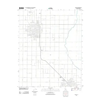 2012 Wasco2012 Print · USGSThe agricultural heart of Kern County comes into focus in the early 2010s, showcasing the intricate irrigation and ranching networks of the San Joaquin Valley. Genealogists and researchers can trace the outskirts of Wasco, including Myricks Corner, Hoover Ranch, and the Shafter High School Farm.
 - 2015 Map of Wasco SW, 2015 Print
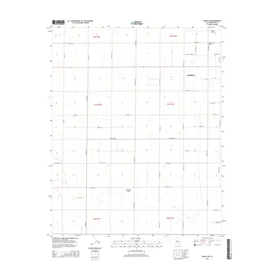 2015 Wasco SW2015 Print · USGSThe western edges of the San Joaquin Valley are captured here during a period of sustained agricultural development. Genealogists and historians can trace the intersection of the Wasco town grid with rural landmarks like Semitropic Ridge and Jerry Slough.
 - 2015 Map of Wasco, 2015 Print
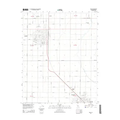 2015 Wasco2015 Print · USGSKern County's agricultural heartland is documented here in the mid-2010s as the communities of Wasco and Shafter continue their steady growth. Researchers can trace the rail corridor passing through Palmo and locate rural landmarks like Myricks Corner and the Wasco-Kern County Airport.
 - 2018 Map of Wasco, 2018 Print
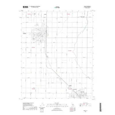 2018 Wasco2018 Print · USGSThe agricultural heart of Kern County is on display here in the late 2010s. Genealogists and local historians can trace the development of Wasco and Shafter or locate smaller rural points like Myricks Corner and Palmo.
 - 2018 Map of Wasco SW, 2018 Print
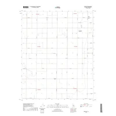 2018 Wasco SW2018 Print · USGSThe fertile agricultural plains of the San Joaquin Valley are documented here in the late twenty-teens. Researchers can trace the layout of Wasco and follow the path of Jerry Slough along the southern edge of Semitropic Ridge.
 - 2021 Map of Wasco, 2021 Print
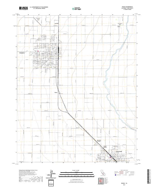 2021 Wasco2021 Print · USGSThe northern San Joaquin Valley comes into sharp focus during the early 2020s as agriculture and aviation define the landscape. Researchers can trace the development of Wasco and Shafter alongside the Calloway Canal and the Wasco-Kern County Airport.
 - 2021 Map of Wasco SW, 2021 Print
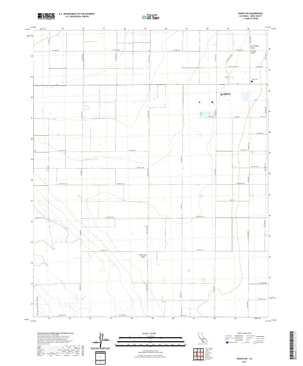 2021 Wasco SW2021 Print · USGSThe agricultural heart of the San Joaquin Valley is documented here in the early twenty-first century. Genealogists and local historians can trace the grid of the Wasco settlement, the location of the Wasco Cem, and the path of Jerry Slough.
End of results
Showing maps 1-20 of 20
Top cities near Wasco
- Bakersfield historical maps
- Delano historical maps
- Shafter historical maps
- McFarland historical maps
- Buttonwillow historical maps
Frequently asked questions
- What are the different types of historical maps available for Wasco?
- What is the oldest map of Wasco?
- Where can I purchase historical maps of Wasco for my home or office?
- Where can I download high-res historical maps of Wasco?
- Are there historical topographic maps available for Wasco?
- Is there historical aerial imagery available for Wasco?
- Where are historical maps of Wasco sourced from?