2020s Maps of Madera, California
Explore 4 historic maps of Madera from the 2020s. These maps offer a rare glimpse into what life looked like during the 2020s — showing old roads, neighborhoods, homes, and landmarks that have changed or disappeared over time.
Whether you're researching your family's past, planning a metal detecting trip, or studying how Madera's landscape evolved across the 2020s, these high-resolution maps are a powerful tool for exploring the history of this region.
- Focus on a specific era: All maps on this page are from the 2020s, giving you a focused view of this time period.
- See what’s changed: Compare century-old streets, trails, and buildings to today's modern landscape using overlays and satellite layers.
- Research with precision: Use these maps for genealogy, historical research, land use analysis, or educational projects.
- View, download, or print: Maps are fully viewable online in high resolution, and can be downloaded or printed for your own records.
Start exploring Madera's history through authentic maps from the 2020s. This is your window into the past.
Madera, CA maps
(4)- 2021 Map of Bonita Ranch, 2021 Print
 2021 Bonita Ranch2021 Print · USGSThe agricultural landscape of the San Joaquin Valley comes into focus here, showing the intricate grid of the Central Valley just west of Madera. Researchers can trace the path of the Fresno River and locate local landmarks like the New Hope Cem and the settlement of Bonita.
 - 2021 Map of Kismet, 2021 Print
 2021 Kismet2021 Print · USGSThe northern reaches of the San Joaquin Valley are captured here in the early twenty-first century as agricultural lands meet growing residential pockets. Genealogists and local historians can trace the development of Madera Acres and rural crossings near Kismet and the Madera Canal.
 - 2021 Map of Madera, 2021 Print
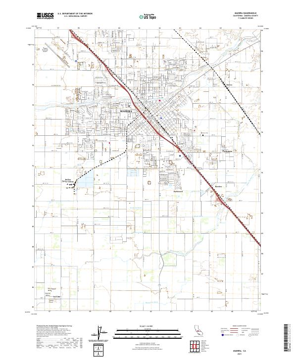 2021 Madera2021 Print · USGSMadera and the surrounding San Joaquin Valley are captured in this recent survey, showcasing the region's heavy reliance on a complex irrigation network. Genealogists and local historians can trace the Italian Swiss Colony, Arbor Vitae Cem, and the old settlement of Borden.
 - 2021 Map of Berenda, 2021 Print
 2021 Berenda2021 Print · USGSCentral Valley farmland and transit corridors are mapped in the early 2020s. Trace the irrigation network of the Califa Canal and locate rural hubs like Fairmead, Sharon, and the Chowchilla Airport.
End of results
Showing maps 1-4 of 4
Top cities near Madera
Frequently asked questions
- What are the different types of historical maps available for Madera?
- What is the oldest map of Madera?
- Where can I purchase historical maps of Madera for my home or office?
- Where can I download high-res historical maps of Madera?
- Are there historical topographic maps available for Madera?
- Is there historical aerial imagery available for Madera?
- Where are historical maps of Madera sourced from?