2000s (21st Century) Maps of Placer County, California
Explore 193 historic maps of Placer County from the 2000s (21st Century). These maps offer a rare glimpse into what life looked like during the 2000s — showing old roads, neighborhoods, homes, and landmarks that have changed or disappeared over time.
Whether you're researching your family's past, planning a metal detecting trip, or studying how Placer County's landscape evolved across the 2000s, these high-resolution maps are a powerful tool for exploring the history of this region.
- Focus on a specific era: All maps on this page are from the 2000s, giving you a focused view of this time period.
- See what’s changed: Compare century-old streets, trails, and buildings to today's modern landscape using overlays and satellite layers.
- Research with precision: Use these maps for genealogy, historical research, land use analysis, or educational projects.
- View, download, or print: Maps are fully viewable online in high resolution, and can be downloaded or printed for your own records.
Start exploring Placer County's history through authentic maps from the 2000s. This is your window into the past.
Placer County, CA maps
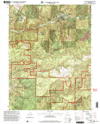
(193)- 2000 Map of Granite Chief, 2003 Print
 2000 Granite Chief2003 Print · USGSIn the high Sierra around the turn of the millennium, this map captures a landscape defined by historic trails and wilderness preservation. Trace the Western States Trail past the Watson Monument Emigrant Pass Marker or locate the remote Mildred Lakes.
 - 2000 Map of Washington, 2003 Print
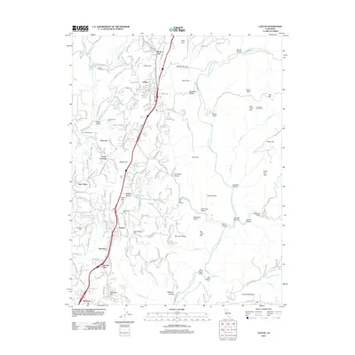
 2000 Washington2003 Print · USGSThe Nevada and Placer County line at the turn of the millennium reveals a landscape deeply marked by mining and migration. Trace family history through the Alpha Diggings, the Zeibright Mine, and the historic Overland Emigrant Trail.
 - 2000 Map of Cisco Grove, 2003 Print
 2000 Cisco Grove2003 Print · USGSThe High Sierra near the Placer and Nevada county line is shown here at the turn of the millennium. Researchers can trace the Overland Emigrant Trail and Southern Pacific tracks past Cisco Grove and the Main Sierra Boy Scout Camp.2 unique versions available
 - 2000 Map of Royal Gorge, 2003 Print
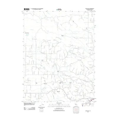
 2000 Royal Gorge2003 Print · USGSThe High Sierra backcountry of Placer County is captured here at the turn of the millennium, showing a landscape defined by deep canyons and mining history. Researchers can trace the paths of the Western States Trail and locate historic sites like the Lost Emigrant Mine and Handy Camp (Site).
 - 2000 Map of Foresthill, 2003 Print
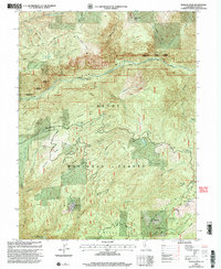
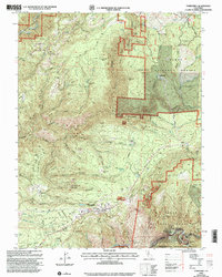 2000 Foresthill2003 Print · USGSThe Placer County gold country around the Foresthill Divide is shown here at the turn of the millennium. Researchers can locate historic mining sites like Yankee Jims, Iowa Hill, and the Mayflower Mine alongside the Western States Trail.
 - 2000 Map of Norden, 2003 Print
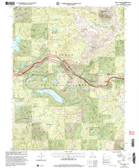
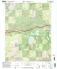
 2000 Norden2003 Print · USGSDonner Pass and the surrounding Sierra Nevada peaks are shown here at the close of the twentieth century. Researchers can trace the path of the Southern Pacific Railroad and the Overland Emigrant Trail near Norden and Donner Lake.
 - 2000 Map of Westville, 2003 Print
 2000 Westville2003 Print · USGSThe Placer County high country is shown at the turn of the millennium, documenting a terrain steeped in gold-rush mining and forestry history. Researchers can trace historic locations like Damascus (Site) or locate the industrial footprints of the American Eagle Mine and Mountain Gate Tunnel.
 - 2000 Map of Greek Store, 2003 Print
 2000 Greek Store2003 Print · USGSPlacer County's gold-mining legacy is preserved in this late-twentieth-century study of the high ridges and river canyons. Researchers can locate numerous historical extraction sites like Millers Defeat Mine and vanished settlements such as Greek Store (Site).
 - 2000 Map of Chicago Park, 2003 Print
 2000 Chicago Park2003 Print · USGSNear the turn of the millennium, this Nevada County landscape shows the deep scars and historic routes of the Sierra foothills. Researchers can trace the legacy of the hydraulic mining era at You Bet and Red Dog or locate the Donner Trail Marker near Chicago Park.
 - 2000 Map of Blue Canyon, 2003 Print
 2000 Blue Canyon2003 Print · USGSThe Sierra Nevada crest near Nyack and Blue Canyon was a crucial gateway for pioneers and later the railroad. Local history researchers can trace the paths of the Overland Trail and Carpenter Overland Road alongside numerous mines like the Zeibright Mine.
 - 2000 Map of Truckee, 2003 Print
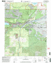 2000 Truckee2003 Print · USGSTruckee and the surrounding Sierra Nevada highlands are shown at the turn of the millennium as the area balanced mountain recreation with its deep rail and pioneer history. Trace the path of the Commemorative Overland Emigrant Trail and find historic sites like Old Schaeffer Mill.2 unique versions available
 - 2000 Map of Duncan Peak, 2003 Print
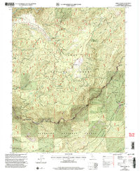
 2000 Duncan Peak2003 Print · USGSPlacer County's high Sierra ridges and deep river canyons are shown here as they appeared at the turn of the millennium. Researchers can trace historical mining claims and lookouts, from the Golden Fleece Tunnel to the Duncan Peak Lookout.
 - 2000 Map of Dutch Flat, 2003 Print
 2000 Dutch Flat2003 Print · USGSThe Gold Country ridges of Placer County come alive in this millennium-era update, showing the deep scars of hydraulic mining. Genealogists and researchers can trace local roots at the Dutch Flat Cemetery or locate old industrial sites like Nichols Diggings and the Navy Red Mine.2 unique versions available
 - 2000 Map of Soda Springs, 2003 Print
 2000 Soda Springs2003 Print · USGSThe high Sierra crest at the turn of the millennium shows a landscape defined by mountain transit and forest management. Local researchers can trace historical routes like the Emigrant Trail near modern Soda Springs and the rural campus of the Donner Trail School.
 - 2000 Map of Michigan Bluff, 2003 Print
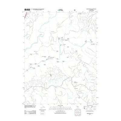
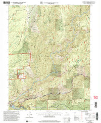 2000 Michigan Bluff2003 Print · USGSThe high ridges of Placer County come into focus during the late twentieth century, showing a landscape defined by its deep mining roots and forest management. Researchers can trace the massive Big Gun Diggings and find historic sites like Michigan Bluff and Last Chance.2 unique versions available
 - 2012 Map of Colfax, 2012 Print
 2012 Colfax2012 Print · USGSCovers Placer County, including Colfax, Applegate, and other nearby areas
 - 2012 Map of Wolf, 2012 Print
 2012 Wolf2012 Print · USGSCovers Placer County, including Wolf, Nevada County, and other nearby areas
 - 2012 Map of Lake Combie, 2012 Print
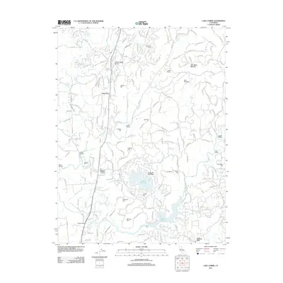 2012 Lake Combie2012 Print · USGSCovers Placer County, including Dew Drop, Higgins Corner, and other nearby areas
 - 2012 Map of Wheatland, 2012 Print
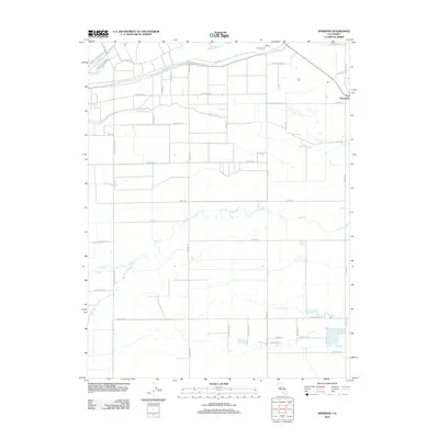
 2012 Wheatland2012 Print · USGSCovers Placer County, including Wheatland, Horstville, and other nearby areas
 - 2012 Map of Greenwood, 2012 Print
 2012 Greenwood2012 Print · USGSCovers Placer County, including Greenwood, Auburn Lake Trails, and other nearby areas
 - 2012 Map of Pleasant Grove, 2012 Print
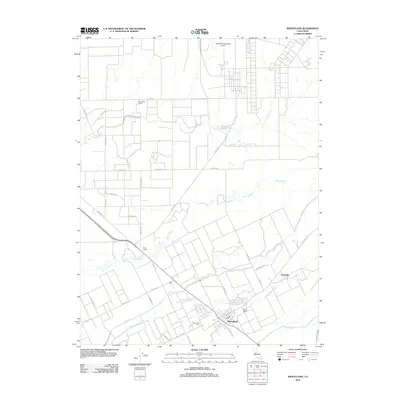
 2012 Pleasant Grove2012 Print · USGSCovers Placer County, including Roseville, Pleasant Grove, and other nearby areas
 - 2012 Map of Sheridan, 2012 Print
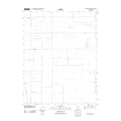
 2012 Sheridan2012 Print · USGSCovers Placer County, including Wheatland, Sheridan, and other nearby areas
 - 2012 Map of Lincoln, 2012 Print
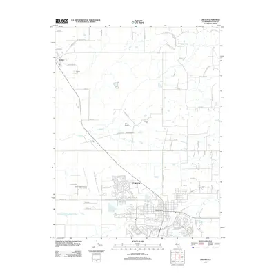 2012 Lincoln2012 Print · USGSCovers Placer County, including Lincoln, Clayton, and other nearby areas
 - 2012 Map of Citrus Heights, 2012 Print
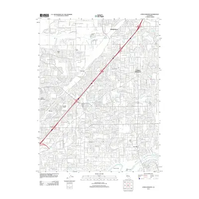 2012 Citrus Heights2012 Print · USGSCovers Placer County, including Sacramento, Roseville, and other nearby areas
 - 2012 Map of Gold Hill, 2012 Print
 2012 Gold Hill2012 Print · USGSCovers Placer County, including Virginiatown, Kilaga Springs, and other nearby areas
Showing maps 1-25 of 193
Top cities of Placer County
- Roseville historical maps
- Rocklin historical maps
- Lincoln historical maps
- Auburn historical maps
- Loomis historical maps
- Meadow Vista historical maps
See more
Frequently asked questions
- What are the different types of historical maps available for Placer County?
- What is the oldest map of Placer County?
- Where can I purchase historical maps of Placer County for my home or office?
- Where can I download high-res historical maps of Placer County?
- Are there historical topographic maps available for Placer County?
- Is there historical aerial imagery available for Placer County?
- Where are historical maps of Placer County sourced from?