2000s (21st Century) Maps of Folsom, California
Explore 16 historic maps of Folsom from the 2000s (21st Century). These maps offer a rare glimpse into what life looked like during the 2000s — showing old roads, neighborhoods, homes, and landmarks that have changed or disappeared over time.
Whether you're researching your family's past, planning a metal detecting trip, or studying how Folsom's landscape evolved across the 2000s, these high-resolution maps are a powerful tool for exploring the history of this region.
- Focus on a specific era: All maps on this page are from the 2000s, giving you a focused view of this time period.
- See what’s changed: Compare century-old streets, trails, and buildings to today's modern landscape using overlays and satellite layers.
- Research with precision: Use these maps for genealogy, historical research, land use analysis, or educational projects.
- View, download, or print: Maps are fully viewable online in high resolution, and can be downloaded or printed for your own records.
Start exploring Folsom's history through authentic maps from the 2000s. This is your window into the past.
Folsom, CA maps
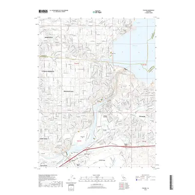
(16)- 2012 Map of Folsom SE, 2012 Print
 2012 Folsom SE2012 Print · USGSCovers Folsom, including El Dorado Hills, Malby Crossing, and other nearby areas
 - 2012 Map of Buffalo Creek, 2012 Print
 2012 Buffalo Creek2012 Print · USGSCovers Folsom, including Rancho Cordova, Sacramento County, and other nearby areas
 - 2012 Map of Folsom, 2012 Print
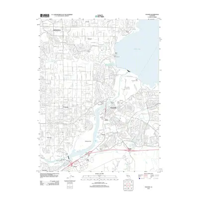 2012 Folsom2012 Print · USGSCovers Folsom, including Roseville, Citrus Heights, and other nearby areas
 - 2012 Map of Clarksville, 2012 Print
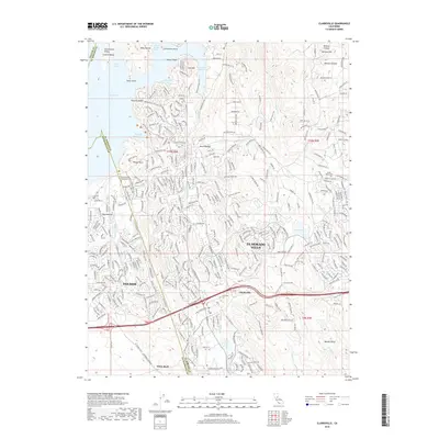
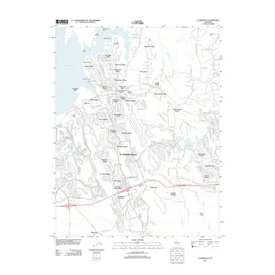 2012 Clarksville2012 Print · USGSCovers Folsom, including El Dorado Hills, Bar J Ranch, and other nearby areas
 - 2015 Map of Folsom SE, 2015 Print
 2015 Folsom SE2015 Print · USGSCovers Folsom, including El Dorado Hills, Malby Crossing, and other nearby areas
 - 2015 Map of Folsom, 2015 Print
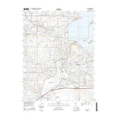 2015 Folsom2015 Print · USGSCovers Folsom, including Roseville, Citrus Heights, and other nearby areas
 - 2015 Map of Buffalo Creek, 2015 Print
 2015 Buffalo Creek2015 Print · USGSCovers Folsom, including Rancho Cordova, Sacramento County, and other nearby areas
 - 2015 Map of Clarksville, 2015 Print
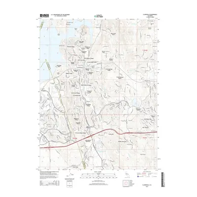 2015 Clarksville2015 Print · USGSCovers Folsom, including El Dorado Hills, Bar J Ranch, and other nearby areas
 - 2018 Map of Buffalo Creek, 2018 Print
 2018 Buffalo Creek2018 Print · USGSCovers Folsom, including Rancho Cordova, Sacramento County, and other nearby areas
 - 2018 Map of Folsom SE, 2018 Print
 2018 Folsom SE2018 Print · USGSCovers Folsom, including El Dorado Hills, Malby Crossing, and other nearby areas
 - 2018 Map of Folsom, 2018 Print
 2018 Folsom2018 Print · USGSCovers Folsom, including Roseville, Citrus Heights, and other nearby areas
 - 2018 Map of Clarksville, 2018 Print
 2018 Clarksville2018 Print · USGSCovers Folsom, including El Dorado Hills, Bar J Ranch, and other nearby areas
 - 2021 Map of Buffalo Creek, 2021 Print
 2021 Buffalo Creek2021 Print · USGSSacramento County’s eastern plains are captured here in the early 2020s, showing the ongoing development between Rancho Cordova and Folsom. Researchers can trace the path of the Folsom South Canal and locate suburban landmarks like Rebel Hill Ditch or Aerojet Rd.
 - 2021 Map of Clarksville, 2021 Print
 2021 Clarksville2021 Print · USGSEl Dorado County settlement and the expansion of the Folsom area are captured here in the early twenty-first century. Researchers can locate the Mormon Island Relocation Cemetery, trace the Natomas Ditch, and explore the topography around Bass Lake and Clarksville.
 - 2022 Map of Folsom, 2022 Print
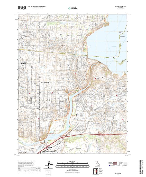 2022 Folsom2022 Print · USGSThe American River corridor near Folsom and Roseville is shown here in the 2020s, blending modern growth with its deep mining and water history. Trace historical sites from Negro Bar to Prairie City or locate family plots at Lakeside Memorial Lawn Cem.
 - 2022 Map of Folsom SE, 2022 Print
 2022 Folsom SE2022 Print · USGSThe foothills of the Sacramento Valley are captured here in the early twenty-first century as suburban growth meets rural ranch land. Researchers can trace development around Rancho Murieta or follow the waters of the Cosumnes River and Lake Chesbro.
End of results
Showing maps 1-16 of 16
Top cities near Folsom
- Sacramento historical maps
- Roseville historical maps
- Citrus Heights historical maps
- Rancho Cordova historical maps
- Rocklin historical maps
- El Dorado Hills historical maps
See more
Top neighborhoods of Folsom
- Folsom Junction historical maps
- Natoma historical maps
- White Rock historical maps
- Represa historical maps
- Prairie Oaks historical maps
- Folsom Meadows historical maps
See more
Frequently asked questions
- What are the different types of historical maps available for Folsom?
- What is the oldest map of Folsom?
- Where can I purchase historical maps of Folsom for my home or office?
- Where can I download high-res historical maps of Folsom?
- Are there historical topographic maps available for Folsom?
- Is there historical aerial imagery available for Folsom?
- Where are historical maps of Folsom sourced from?