2010s Maps of Folsom, California
Explore 12 historic maps of Folsom from the 2010s. These maps offer a rare glimpse into what life looked like during the 2010s — showing old roads, neighborhoods, homes, and landmarks that have changed or disappeared over time.
Whether you're researching your family's past, planning a metal detecting trip, or studying how Folsom's landscape evolved across the 2010s, these high-resolution maps are a powerful tool for exploring the history of this region.
- Focus on a specific era: All maps on this page are from the 2010s, giving you a focused view of this time period.
- See what’s changed: Compare century-old streets, trails, and buildings to today's modern landscape using overlays and satellite layers.
- Research with precision: Use these maps for genealogy, historical research, land use analysis, or educational projects.
- View, download, or print: Maps are fully viewable online in high resolution, and can be downloaded or printed for your own records.
Start exploring Folsom's history through authentic maps from the 2010s. This is your window into the past.
Folsom, CA maps
(12)- 2012 Map of Folsom SE, 2012 Print
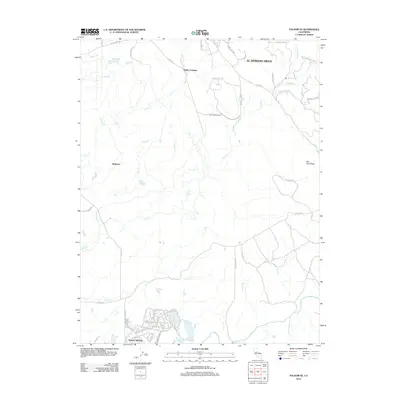 2012 Folsom SE2012 Print · USGSEl Dorado County and Sacramento County are captured here in the early twenty-first century as modern communities expand into the foothills. Researchers can trace the development of Rancho Murieta and El Dorado Hills alongside older landmarks like the Carson Creek School and Walltown.
 - 2012 Map of Buffalo Creek, 2012 Print
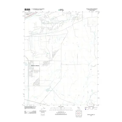 2012 Buffalo Creek2012 Print · USGSEastern Sacramento County suburban development meets the open drainage basins of the Sierra Nevada foothills during the early 2010s. Trace the growth of Rancho Cordova neighborhoods and the water paths of Rebel Hill Ditch and Blodgett Reservoir.
 - 2012 Map of Folsom, 2012 Print
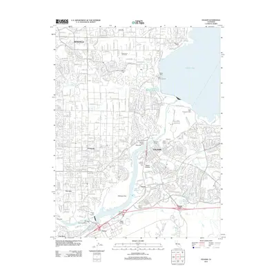 2012 Folsom2012 Print · USGSThe Folsom and Roseville area shows its modern suburban and hydraulic character in the early twenty-first century. Researchers can trace the layout of Folsom, the expansive waters of Lake Natoma, and local landmarks like the Nimbus Fish Hatchery and Folsom Zoo.
 - 2012 Map of Clarksville, 2012 Print
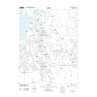 2012 Clarksville2012 Print · USGSThe Sierra Nevada foothills near El Dorado Hills are shown in high detail during a period of significant suburban growth. Genealogists and historians can locate legacy sites like Clarksville Cem and Mormon Island Cem alongside newer developments like Lake Hills Estates.
 - 2015 Map of Folsom SE, 2015 Print
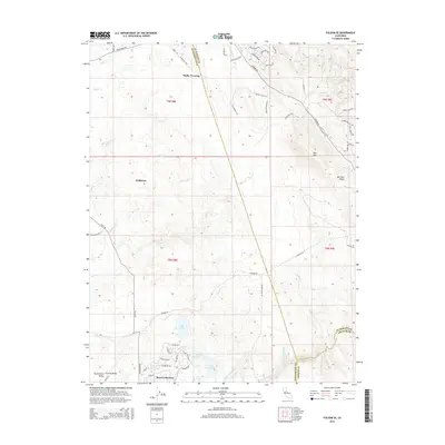 2015 Folsom SE2015 Print · USGSSoutheast of Folsom, this 2015 survey shows the foothills as the Sacramento Central Valley meets the Sierra Nevada rising toward the east. Genealogists and hikers can trace the El Dorado Trail and locate historic points like Malby Crossing, Walltown, and the community of Rancho Murieta.
 - 2015 Map of Folsom, 2015 Print
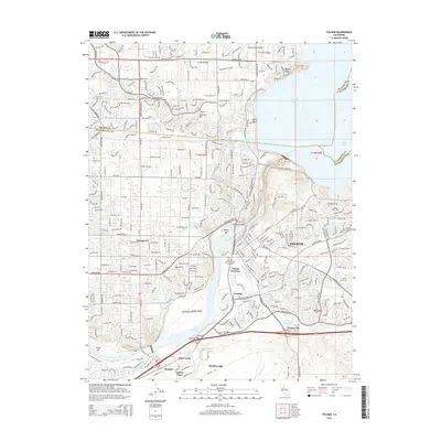 2015 Folsom2015 Print · USGSThe eastern Sacramento Valley is captured here in the mid-2010s, showing the intersection of historic gold-rush era sites and modern suburban growth. Genealogists and local historians can trace legacy locations like Lakeside Memorial Lawn Cemetery, the rail lines at Folsom Junction, and the vanished site of Prairie City.
 - 2015 Map of Buffalo Creek, 2015 Print
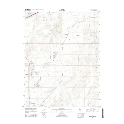 2015 Buffalo Creek2015 Print · USGSThe eastern Sacramento Valley undergoes modern expansion in this mid-2010s survey, where aviation history meets new suburban growth. Genealogists and researchers can trace the edges of Mather AFB or follow historic water routes like the Rebel Hill Ditch and Folsom South Canal.
 - 2015 Map of Clarksville, 2015 Print
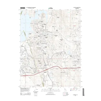 2015 Clarksville2015 Print · USGSEl Dorado Hills and the Sierra foothills are captured in this mid-2010s survey as suburban growth meets gold-era history. Researchers can trace the layout of modern communities like Saint Andrews Village alongside historic sites including the Mormon Island Cemetery and Clarksville.
 - 2018 Map of Buffalo Creek, 2018 Print
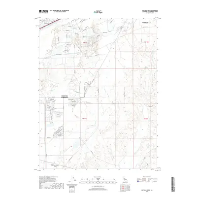 2018 Buffalo Creek2018 Print · USGSThe eastern Sacramento Valley is shown in detail during the late twenty-teens as suburban growth moved toward the Sierra foothills. Researchers can trace historic water management features like the Rebel Hill Ditch and Folsom South Canal near Folsom.
 - 2018 Map of Folsom SE, 2018 Print
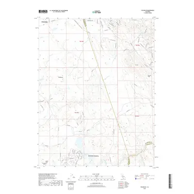 2018 Folsom SE2018 Print · USGSThe foothills east of Sacramento meet the gold country at the turn of the millennium in this detailed survey of the three-county border. Genealogists and hikers can trace the El Dorado Trail or locate landmarks like Walltown, Ben Bolt, and the Cosumnes River.
 - 2018 Map of Folsom, 2018 Print
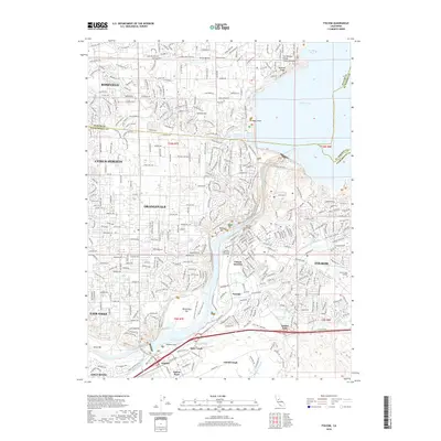 2018 Folsom2018 Print · USGSThe American River corridor and the sprawling suburbs of Sacramento and Placer counties are shown in high detail during this contemporary period. Researchers can trace the layout of Folsom Junction, the banks of Lake Natoma, and the grounds of the Lakeside Memorial Lawn Cem.
 - 2018 Map of Clarksville, 2018 Print
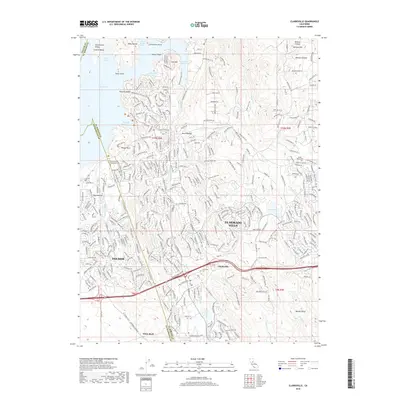 2018 Clarksville2018 Print · USGSEl Dorado County and Sacramento County meet here in the late 2010s as suburban communities grow into the historic Gold Country foothills. Genealogists and historians can trace the Mormon Island Relocation Cem or explore the older settlement patterns of Clarksville and White Rock.
End of results
Showing maps 1-12 of 12
Top cities near Folsom
- Sacramento historical maps
- Roseville historical maps
- Citrus Heights historical maps
- Rancho Cordova historical maps
- Rocklin historical maps
- El Dorado Hills historical maps
See more
Top neighborhoods of Folsom
- Folsom Junction historical maps
- Natoma historical maps
- White Rock historical maps
- Represa historical maps
- Prairie Oaks historical maps
- Folsom Meadows historical maps
See more
Frequently asked questions
- What are the different types of historical maps available for Folsom?
- What is the oldest map of Folsom?
- Where can I purchase historical maps of Folsom for my home or office?
- Where can I download high-res historical maps of Folsom?
- Are there historical topographic maps available for Folsom?
- Is there historical aerial imagery available for Folsom?
- Where are historical maps of Folsom sourced from?