2000s (21st Century) Maps of San Benito County, California
Explore 160 historic maps of San Benito County from the 2000s (21st Century). These maps offer a rare glimpse into what life looked like during the 2000s — showing old roads, neighborhoods, homes, and landmarks that have changed or disappeared over time.
Whether you're researching your family's past, planning a metal detecting trip, or studying how San Benito County's landscape evolved across the 2000s, these high-resolution maps are a powerful tool for exploring the history of this region.
- Focus on a specific era: All maps on this page are from the 2000s, giving you a focused view of this time period.
- See what’s changed: Compare century-old streets, trails, and buildings to today's modern landscape using overlays and satellite layers.
- Research with precision: Use these maps for genealogy, historical research, land use analysis, or educational projects.
- View, download, or print: Maps are fully viewable online in high resolution, and can be downloaded or printed for your own records.
Start exploring San Benito County's history through authentic maps from the 2000s. This is your window into the past.
San Benito County, CA maps
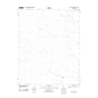
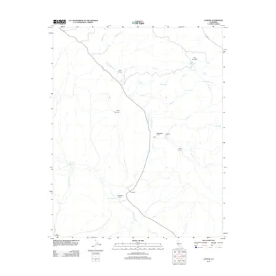
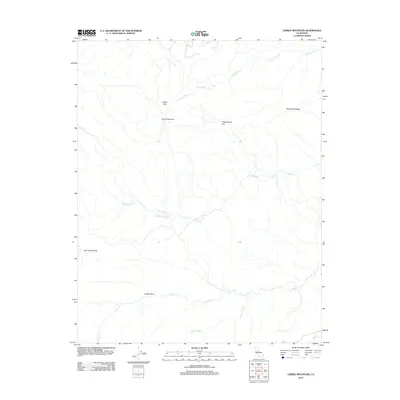
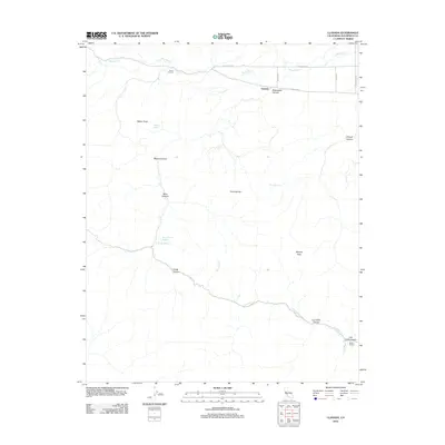
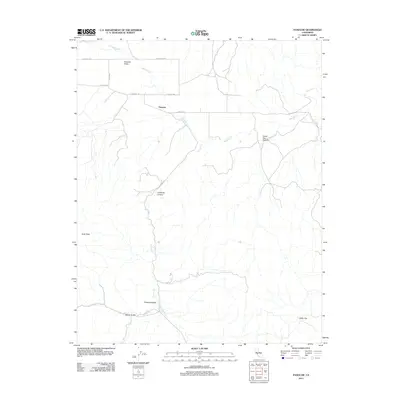
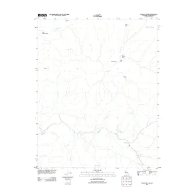
(160)- 2000 Map of Cerro Colorado, 2002 Print
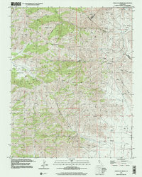 2000 Cerro Colorado2002 Print · USGSThe Diablo Range uplands in the early twenty-first century reveal a landscape of isolated canyons and historic mining claims. Trace old diggings like the Mercey Mine or follow the winding Little Panoche Road through Little Panoche Valley.
 - 2000 Map of Ortigalita Peak, 2002 Print
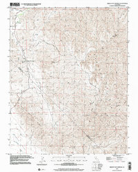
 2000 Ortigalita Peak2002 Print · USGSThe California Coast Ranges at the turn of the millennium reveal a landscape of high ridges and remote canyons where three counties meet. Researchers can trace land grant history and spring-fed sites like Carranza Spring, Ortigalita Peak, and the Little Pan Oche Valley.
 - 2000 Map of Tumey Hills, 2002 Print
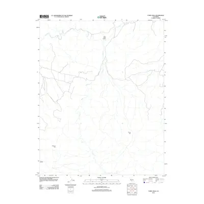
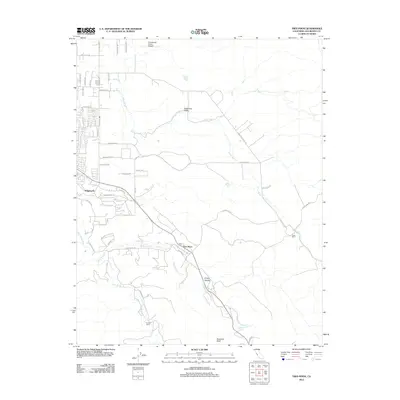
 2000 Tumey Hills2002 Print · USGSThe Fresno and San Benito county line is marked by industrial activity and arid terrain at the start of the twenty-first century. Researchers can trace resource development at the Vallecitos Oil Field or locate landmarks like the Gaging Station and Tumey Gulch.2 unique versions available
 - 2000 Map of Mercey Hot Springs, 2002 Print
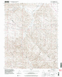
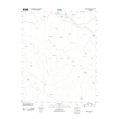
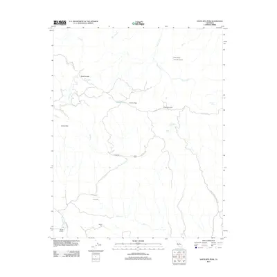
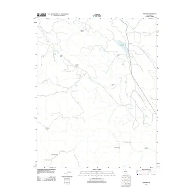
 2000 Mercey Hot Springs2002 Print · USGSThe Fresno and San Benito county line comes alive in the late twentieth century, showing a remote landscape of mineral springs and high ridges. Researchers can trace the layout of Mercey Hot Springs or locate the Landing Strip and high-altitude Mine sites.
 - 2012 Map of Ortigalita Peak, 2012 Print
 2012 Ortigalita Peak2012 Print · USGSCovers San Benito County, including Fresno County, Merced County, and other nearby areas
 - 2012 Map of Rock Spring Peak, 2012 Print
 2012 Rock Spring Peak2012 Print · USGSCovers San Benito County, including United States, California, and other nearby areas
 - 2012 Map of Cerro Colorado, 2012 Print
 2012 Cerro Colorado2012 Print · USGSCovers San Benito County, including Fresno County, Merced County, and other nearby areas
 - 2012 Map of Hepsedam Peak, 2012 Print
 2012 Hepsedam Peak2012 Print · USGSCovers San Benito County, including Monterey County, United States, and other nearby areas
 - 2012 Map of Mercey Hot Springs, 2012 Print
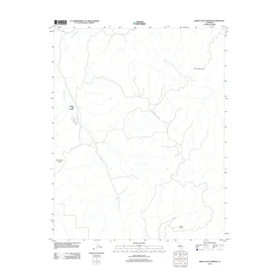 2012 Mercey Hot Springs2012 Print · USGSCovers San Benito County, including Mercey Hot Springs, Fresno County, and other nearby areas
 - 2012 Map of Lonoak, 2012 Print
 2012 Lonoak2012 Print · USGSCovers San Benito County, including Lonoak, Monterey County, and other nearby areas
 - 2012 Map of Ciervo Mountain, 2012 Print
 2012 Ciervo Mountain2012 Print · USGSCovers San Benito County, including Fresno County, United States, and other nearby areas
 - 2012 Map of San Benito Mountain, 2012 Print
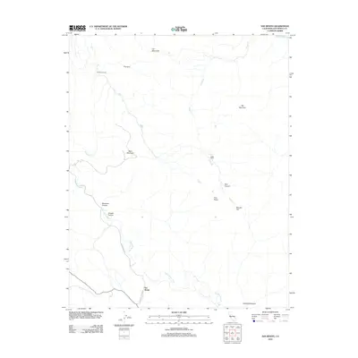
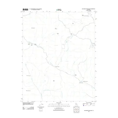 2012 San Benito Mountain2012 Print · USGSCovers San Benito County, including Fresno County, Monterey County, and other nearby areas
 - 2012 Map of Tumey Hills, 2012 Print
 2012 Tumey Hills2012 Print · USGSCovers San Benito County, including Fresno County, United States, and other nearby areas
 - 2012 Map of Priest Valley, 2012 Print
 2012 Priest Valley2012 Print · USGSCovers San Benito County, including Priest Valley, Fresno County, and other nearby areas
 - 2012 Map of Idria, 2012 Print
 2012 Idria2012 Print · USGSCovers San Benito County, including Idria, United States, and other nearby areas
 - 2012 Map of Llanada, 2012 Print
 2012 Llanada2012 Print · USGSCovers San Benito County, including Llanada, United States, and other nearby areas
 - 2012 Map of Santa Rita Peak, 2012 Print
 2012 Santa Rita Peak2012 Print · USGSCovers San Benito County, including Fresno County, United States, and other nearby areas
 - 2012 Map of Hernandez Reservoir, 2012 Print
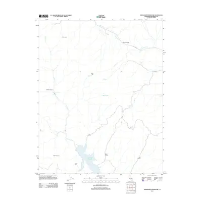 2012 Hernandez Reservoir2012 Print · USGSCovers San Benito County, including United States, California, and other nearby areas
 - 2012 Map of Monocline Ridge, 2012 Print
 2012 Monocline Ridge2012 Print · USGSCovers San Benito County, including Fresno County, United States, and other nearby areas
 - 2012 Map of Monarch Peak, 2012 Print
 2012 Monarch Peak2012 Print · USGSCovers San Benito County, including Peachtree Valley, Monterey County, and other nearby areas
 - 2012 Map of Panoche, 2012 Print
 2012 Panoche2012 Print · USGSCovers San Benito County, including Panoche, Fresno County, and other nearby areas
 - 2012 Map of Tres Pinos, 2012 Print
 2012 Tres Pinos2012 Print · USGSCovers San Benito County, including Hollister, Ridgemark, and other nearby areas
 - 2012 Map of Paicines, 2012 Print
 2012 Paicines2012 Print · USGSCovers San Benito County, including Paicines, Monterey County, and other nearby areas
 - 2012 Map of San Benito, 2012 Print
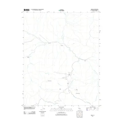
 2012 San Benito2012 Print · USGSCovers San Benito County, including San Benito, United States, and other nearby areas
 - 2012 Map of Panoche Pass, 2012 Print
 2012 Panoche Pass2012 Print · USGSCovers San Benito County, including United States, California, and other nearby areas
Showing maps 1-25 of 160
Top cities of San Benito County
Frequently asked questions
- What are the different types of historical maps available for San Benito County?
- What is the oldest map of San Benito County?
- Where can I purchase historical maps of San Benito County for my home or office?
- Where can I download high-res historical maps of San Benito County?
- Are there historical topographic maps available for San Benito County?
- Is there historical aerial imagery available for San Benito County?
- Where are historical maps of San Benito County sourced from?