Old Maps of Tres Pinos, California for Academic Research
Study the evolution of Tres Pinos with 17 high-resolution historic maps. Whether you're teaching, researching, or modeling changes in land use, these maps provide essential visual documentation of urban, environmental, and geographic change.
- Analyze long-term change: Track patterns in development, transportation, and natural features.
- Ideal for environmental or urban studies: Support academic projects with primary historical map data.
- Use in the classroom or lab: Educators and researchers rely on these maps to bring historical context to life.
These maps are a powerful tool for teaching, research, and visualizing how Tres Pinos has changed over the decades.
Tres Pinos, CA maps
(17)- 1919 Map of Hollister
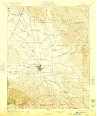
 1919 Hollister1919 Print · USGSThe Santa Clara and San Benito county line area in the late nineteen-teens shows a landscape of expansive ranches and rural school districts. Genealogists can trace early homesteads and family names at Pacheco Ranch, San Justo School, and Dunneville.
 - 1921 Map of Hollister
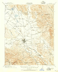
 1921 Hollister1921 Print · USGSThe San Benito and San Justo valleys come alive in this post-World War I era survey of the Hollister region. Researchers can trace family estates and early landmarks like the County Hospital, Barco Ranch, and the Southern Pacific rail line.4 unique versions available
 - 1923 Map of Hollister, 1955 Print
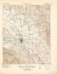
 1923 Hollister1955 Print · USGSHollister and the surrounding San Benito valley are captured here in the early 1920s as the rail and agricultural networks were fully established. Genealogists can locate family holdings like Indart Ranch and numerous rural landmarks such as Enterprise School and the COUNTY HOSPITAL.
 - 1940 Map of Hollister
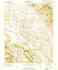
 1940 Hollister1940 Print · USGSSan Benito County is shown just before the war as a landscape of productive ranches and emerging civic infrastructure. Genealogists and local historians can trace rural school districts like Anasymas School and the Southern Pacific rail line through Tres Pinos.2 unique versions available
 - 1948 Map of Santa Cruz
 1948 Santa Cruz1948 Print · USGSThe Central Coast and San Joaquin Valley meet in this mid-century look at the region's agricultural and military geography. Genealogists and historians can trace the paths of El Camino Real, locate family farms near Hollister, or study the footprint of the Fort Ord Military Reservation.2 unique versions available
 - 1955 Map of Santa Cruz
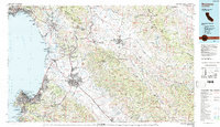
 1955 Santa Cruz1955 Print · USGSCoastal Monterey Bay and the fertile Salinas Valley are captured here during the post-war expansion of the mid-fifties. Researchers can trace the era's rail-and-road network via the Southern Pacific lines and find landmarks like Fort Ord or the Lonoak School.
 - 1955 Map of Tres Pinos, 1956 Print
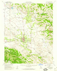
 1955 Tres Pinos1956 Print · USGSSan Benito County ranchlands and rural valleys come into focus during the mid-1950s as agriculture expanded along the local river systems. Genealogists and historians can locate family-named landmarks like Indart Ranch and a network of district schoolhouses including Southside Sch and Enterprise Sch.4 unique versions available
 - 1955 Map of Hollister, 1960 Print
 1955 Hollister1960 Print · USGSSan Benito County in the mid-fifties is captured here during a time of agricultural prominence and steady town growth. Genealogists and local historians can trace the foundations of Hollister while locating rural landmarks like San Justo Sch and the Indart Ranch.2 unique versions available
 - 1957 Map of Santa Cruz
 1957 Santa Cruz1957 Print · USGSCentral California comes into sharp focus during the late fifties, from the fog-swept Monterey Bay to the sun-drenched San Joaquin Valley. Genealogists and historians can trace the mid-century footprints of Fort Ord Military Reservation, the Southern Pacific line, and the historic streets of San Juan Bautista.
 - 1958 Map of Santa Cruz
 1958 Santa Cruz1958 Print · USGSCoastal California and the central valleys are shown during the mid-fifties, capturing a landscape of massive military reserves and vital rail arteries. Genealogists and historians can trace the Southern Pacific line through Salinas or explore the early footprints of the Fort Ord Military Reservation and San Juan Bautista.2 unique versions available
 - 1965 Map of Santa Cruz, 1968 Print
 1965 Santa Cruz1968 Print · USGSThe Central Coast and San Joaquin Valley meet here during the mid-sixties, capturing the growth of agricultural and coastal hubs. Trace the historic Southern Pacific RR lines and locate sites like the Presidio of Monterey or Pinnacles National Monument.
 - 1974 Map of Monterey, 1977 Print
 1974 Monterey1977 Print · USGSThe Central Coast and San Joaquin Valley meet in this mid-seventies survey of the Monterey region. Genealogists and historians can locate Spanish-era sites like the San Antonio de Padua Mission, early industrial markers such as the New Idria Mine, and coastal landmarks like the Point Sur Lighthouse.
 - 1983 Map of Monterey, 1984 Print
 1983 Monterey1984 Print · USGSCoastal Monterey and the Salinas Valley appear in the early eighties as a hub of military activity and deep-rooted agriculture. Researchers can trace historic land grant boundaries like Rancho Buena Vista or locate sites like Mission San Juan Bautista and Spreckels.2 unique versions available
 - 2012 Map of Tres Pinos, 2012 Print
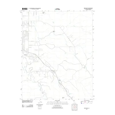 2012 Tres Pinos2012 Print · USGSCovers Tres Pinos, including Hollister, Ridgemark, and other nearby areas
 - 2015 Map of Tres Pinos, 2015 Print
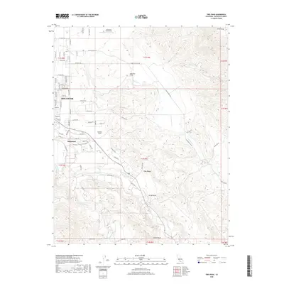
 2015 Tres Pinos2015 Print · USGSCovers Tres Pinos, including Hollister, Ridgemark, and other nearby areas
 - 2018 Map of Tres Pinos, 2018 Print
 2018 Tres Pinos2018 Print · USGSCovers Tres Pinos, including Hollister, Ridgemark, and other nearby areas
 - 2021 Map of Tres Pinos, 2021 Print
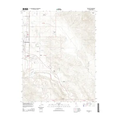
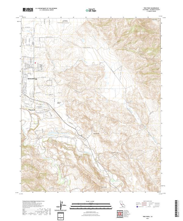 2021 Tres Pinos2021 Print · USGSThe outskirts of Hollister and the Santa Ana Valley appear here in the early 2020s, showing the intersection of suburban growth and ranching tradition. Researchers can trace the courses of the San Benito River and Tres Pinos Cr or locate landmarks like the Christensen Ranch Airport and Swanson Bluff.
End of results
Showing maps 1-17 of 17
Top cities near Tres Pinos
Frequently asked questions
- What are the different types of historical maps available for Tres Pinos?
- What is the oldest map of Tres Pinos?
- Where can I purchase historical maps of Tres Pinos for my home or office?
- Where can I download high-res historical maps of Tres Pinos?
- Are there historical topographic maps available for Tres Pinos?
- Is there historical aerial imagery available for Tres Pinos?
- Where are historical maps of Tres Pinos sourced from?