Old Maps of Barstow, California for Academic Research
Study the evolution of Barstow with 42 high-resolution historic maps. Whether you're teaching, researching, or modeling changes in land use, these maps provide essential visual documentation of urban, environmental, and geographic change.
- Analyze long-term change: Track patterns in development, transportation, and natural features.
- Ideal for environmental or urban studies: Support academic projects with primary historical map data.
- Use in the classroom or lab: Educators and researchers rely on these maps to bring historical context to life.
These maps are a powerful tool for teaching, research, and visualizing how Barstow has changed over the decades.
Barstow, CA maps
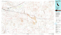
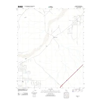
(42)- 1932 Map of Barstow, 1956 Print
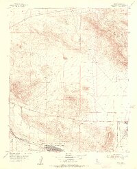
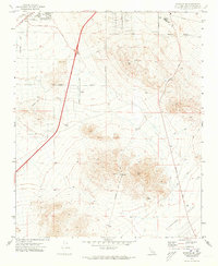
 1932 Barstow1956 Print · USGSIn the early 1930s, the High Desert economy centered on the Mojave River corridor and the steel rails of the Atchison Topeka and Santa Fe RR. Researchers can trace the early footprints of Barstow and Victorville or locate mining operations like the Apex Mine.
 - 1934 Map of Barstow
 1934 Barstow1934 Print · USGSThe Mojave Desert and its river-based corridor are captured here in the early thirties, during the heyday of Route 66. Researchers can trace the original Atchison Topeka and Santa Fe line and locate mining sites like the Western States Mine or the settlement at Helendale.3 unique versions available
 - 1953 Map of San Bernardino
 1953 San Bernardino1953 Print · USGSSouthern California underwent massive post-war growth as suburban sprawl reached the foothills of the San Bernardino Mountains. Genealogists and historians can trace the rail-and-road roots of the Inland Empire through the Union Pacific RR and Lake Arrowhead resorts.2 unique versions available
 - 1953 Map of Nebo, 1956 Print
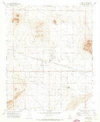
 1953 Nebo1956 Print · USGSSan Bernardino County's high desert reveals its mid-century military and mining character as the Cold War era reshaped the Mojave. Trace the industrial footprint of the Nebo Marine Base and locate historic workings like the Silver Bow Mine or Burcham Mine.4 unique versions available
 - 1956 Map of San Bernardino
 1956 San Bernardino1956 Print · USGSSouthern California's Inland Empire and High Desert come into focus in the mid-fifties as agriculture gives way to suburban and military growth. Trace early rail lines like the Pacific Electric or find remote landmarks like Camp Rock Mine and George AFB.
 - 1956 Map of Daggett, 1957 Print
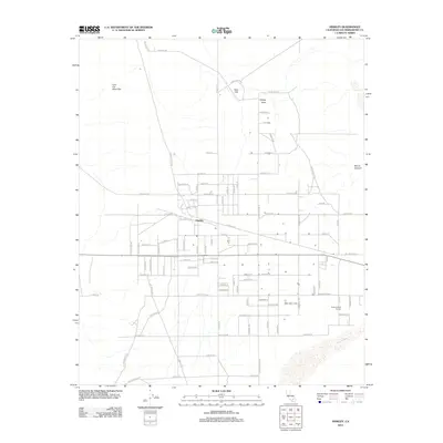
 1956 Daggett1957 Print · USGSThe Mojave Desert at the height of the Cold War reveals a landscape defined by heavy rail, military supply bases, and hard-rock mining. Trace the historic tracks of the Union Pacific through Yermo or locate the old Silver Bow Mine and Azucar Mine in the surrounding peaks.4 unique versions available
 - 1956 Map of Barstow, 1957 Print
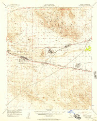
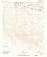
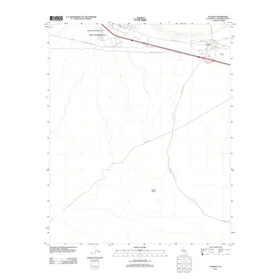
 1956 Barstow1957 Print · USGSBarstow served as a vital High Desert rail and road hub during the mid-fifties, centered where the Santa Fe and Union Pacific lines meet the Mojave River. Researchers can trace rural desert life at the Hinkley Valley Grange, the Cameron Sch, and family sites like Baxter Ranch.3 unique versions available
 - 1957 Map of San Bernardino
 1957 San Bernardino1957 Print · USGSSouthern California's Inland Empire and High Desert met during the postwar expansion of the late fifties. Genealogists and historians can trace the growth of San Bernardino and Redlands alongside remote landmarks like Edwards AFB and the Camp Rock Mine.
 - 1958 Map of San Bernardino, 1975 Print
 1958 San Bernardino1975 Print · USGSSouthern California’s Inland Empire and High Desert come into focus during the mid-century boom, showing the rise of suburbs and massive military installations. Researchers can trace the rail networks of the Union Pacific RR or locate landmarks like Norton AFB and Big Bear Lake.
 - 1959 Map of San Bernardino
 1959 San Bernardino1959 Print · USGSSouthern California underwent a massive transformation in the late fifties as suburban growth and military power reshaped the desert and valley. Researchers can trace the legacy of the Union Pacific Railroad and locate early footprints of Joshua Tree National Monument and Edwards Air Force Base.
 - 1966 Map of San Bernardino
 1966 San Bernardino1966 Print · USGSThe San Bernardino Valley and Mojave Desert met during a period of massive military and suburban growth in the mid-sixties. Genealogists and historians can trace the development of Edwards Air Force Base, old desert mines like the Bagdad Chase Mine, and mountain communities near Big Bear Lake.
 - 1971 Map of Hodge, 1973 Print
 1971 Hodge1973 Print · USGSThe Mojave River valley in the early 1970s is shown as a vital rail corridor between desert peaks. Researchers can trace historic routes like the Wagonwheel Trail and Chisholm Trail near the settlement of Hodge.3 unique versions available
 - 1971 Map of Barstow SE, 1973 Print
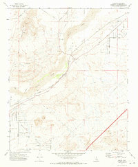
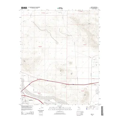
 1971 Barstow SE1973 Print · USGSThe Mojave Desert settlement of Lenwood and the southern expansion of Barstow are captured here just as the region's modern infrastructure was solidifying. Researchers can trace historical land use through local landmarks like Barstow College, the Drive-in Theater, and various mining Prospects near STODDARD WELL ROAD.2 unique versions available
 - 1971 Map of Daggett, 1973 Print
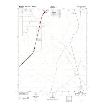
 1971 Daggett1973 Print · USGSThe high desert around the Mojave River in the early seventies shows a landscape of military logistics and rail transit. Researchers can find the McKinney Sch, Daggett Cem, and the sprawling Marine Corps Supply Center.2 unique versions available
 - 1971 Map of Hinkley, 1973 Print
 1971 Hinkley1973 Print · USGSHinkley is documented here in the early 1970s as a desert hub defined by its rail siding and scattered ranch-style settlement. You can trace family footprints near the Hinkley Union Sch, the Grange Hall, and early developments at Highcrest.3 unique versions available
 - 1971 Map of Barstow, 1974 Print
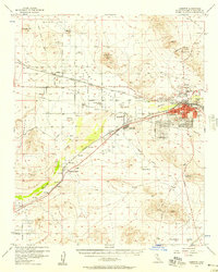
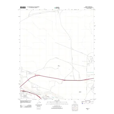
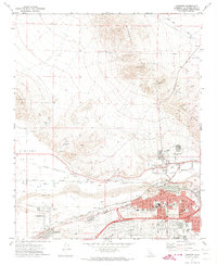 1971 Barstow1974 Print · USGSThe Mojave River valley thrived as a major California rail and logistics hub in the early seventies. Genealogists and historians can trace the growth of Barstow neighborhoods and locate landmarks like Mt View Cem and the Waterman Mine.5 unique versions available
 - 1977 Map of Newberry Springs, 1993 Print
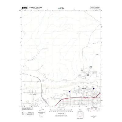
 1977 Newberry Springs1993 Print · USGSThe Mojave High Desert in the late seventies is shown here as a landscape of railroads and mining. Researchers can trace the legacy of remote camps and transport hubs like Stedman, Ragtown, and the busy Barstow-Daggett Airport.
 - 1982 Map of Victorville
 1982 Victorville1982 Print · USGSThe High Desert during the early eighties reveals a landscape of massive aerospace installations and growing desert communities. Researchers can trace the sprawling boundaries of Edwards Air Force Base alongside the vital California Aqueduct and the rail hub at Barstow.2 unique versions available
 - 2012 Map of Hinkley, 2012 Print
 2012 Hinkley2012 Print · USGSCovers Barstow, including Hinkley, San Bernardino County, and other nearby areas
 - 2012 Map of Daggett, 2012 Print
 2012 Daggett2012 Print · USGSCovers Barstow, including Daggett, Desert View Housing Area, and other nearby areas
 - 2012 Map of Barstow SE, 2012 Print
 2012 Barstow SE2012 Print · USGSCovers Barstow, including Lenwood, Barstow Heights, and other nearby areas
 - 2012 Map of Hodge, 2012 Print
 2012 Hodge2012 Print · USGSCovers Barstow, including Johnstons Corner, San Bernardino County, and other nearby areas
 - 2012 Map of Barstow, 2012 Print
 2012 Barstow2012 Print · USGSCovers Barstow, including Lenwood, Irwin Estates, and other nearby areas
 - 2012 Map of Nebo, 2012 Print
 2012 Nebo2012 Print · USGSCovers Barstow, including Yermo, Daggett, and other nearby areas
 - 2015 Map of Nebo, 2015 Print
 2015 Nebo2015 Print · USGSCovers Barstow, including Yermo, Daggett, and other nearby areas
Showing maps 1-25 of 42
Top cities near Barstow
Top neighborhoods of Barstow
Frequently asked questions
- What are the different types of historical maps available for Barstow?
- What is the oldest map of Barstow?
- Where can I purchase historical maps of Barstow for my home or office?
- Where can I download high-res historical maps of Barstow?
- Are there historical topographic maps available for Barstow?
- Is there historical aerial imagery available for Barstow?
- Where are historical maps of Barstow sourced from?