2000s (21st Century) Maps of El Mirage, California
Explore 12 historic maps of El Mirage from the 2000s (21st Century). These maps offer a rare glimpse into what life looked like during the 2000s — showing old roads, neighborhoods, homes, and landmarks that have changed or disappeared over time.
Whether you're researching your family's past, planning a metal detecting trip, or studying how El Mirage's landscape evolved across the 2000s, these high-resolution maps are a powerful tool for exploring the history of this region.
- Focus on a specific era: All maps on this page are from the 2000s, giving you a focused view of this time period.
- See what’s changed: Compare century-old streets, trails, and buildings to today's modern landscape using overlays and satellite layers.
- Research with precision: Use these maps for genealogy, historical research, land use analysis, or educational projects.
- View, download, or print: Maps are fully viewable online in high resolution, and can be downloaded or printed for your own records.
Start exploring El Mirage's history through authentic maps from the 2000s. This is your window into the past.
El Mirage, CA maps
(12)- 2012 Map of Shadow Mountains, 2012 Print
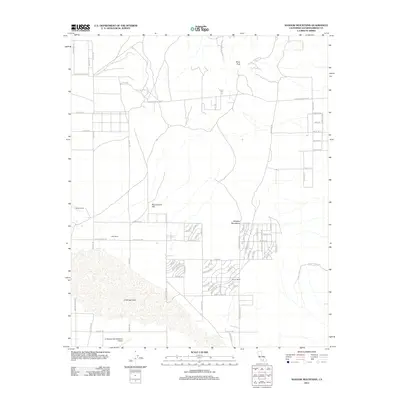 2012 Shadow Mountains2012 Print · USGSCovers El Mirage, including San Bernardino County, United States, and other nearby areas
 - 2012 Map of Shadow Mountains SE, 2012 Print
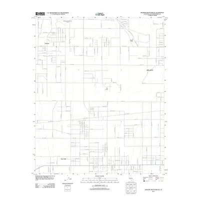 2012 Shadow Mountains SE2012 Print · USGSCovers El Mirage, including Adelanto, Piñon Hills, and other nearby areas
 - 2012 Map of El Mirage, 2012 Print
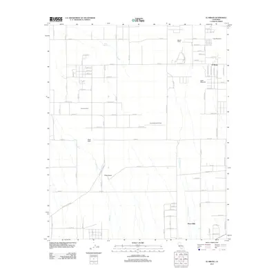 2012 El Mirage2012 Print · USGSCovers El Mirage, including Piñon Hills, San Bernardino County, and other nearby areas
 - 2015 Map of Shadow Mountains, 2015 Print
 2015 Shadow Mountains2015 Print · USGSCovers El Mirage, including San Bernardino County, United States, and other nearby areas
 - 2015 Map of Shadow Mountains SE, 2015 Print
 2015 Shadow Mountains SE2015 Print · USGSCovers El Mirage, including Adelanto, Piñon Hills, and other nearby areas
 - 2015 Map of El Mirage, 2015 Print
 2015 El Mirage2015 Print · USGSCovers El Mirage, including Piñon Hills, San Bernardino County, and other nearby areas
 - 2018 Map of Shadow Mountains SE, 2018 Print
 2018 Shadow Mountains SE2018 Print · USGSCovers El Mirage, including Adelanto, Piñon Hills, and other nearby areas
 - 2018 Map of El Mirage, 2018 Print
 2018 El Mirage2018 Print · USGSCovers El Mirage, including Piñon Hills, San Bernardino County, and other nearby areas
 - 2018 Map of Shadow Mountains, 2018 Print
 2018 Shadow Mountains2018 Print · USGSCovers El Mirage, including San Bernardino County, United States, and other nearby areas
 - 2021 Map of Shadow Mountains, 2021 Print
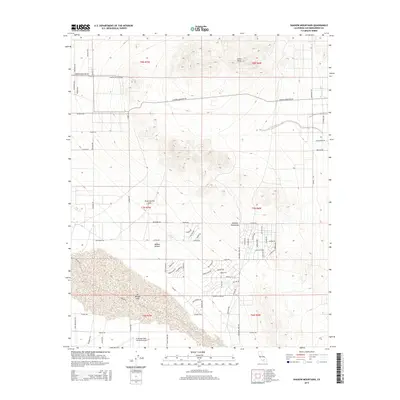
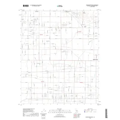
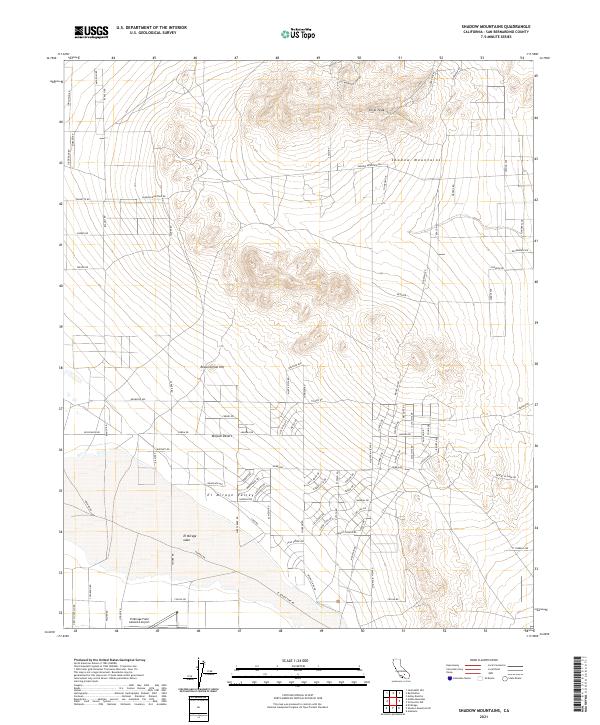 2021 Shadow Mountains2021 Print · USGSThe high Mojave Desert comes into focus during the early 2020s, revealing a landscape of dry lake beds and isolated peaks. Researchers can trace the development of the El Mirage Valley and locate landmarks like Silver Peak and El Mirage Field Adelanto Airport.
 - 2021 Map of El Mirage, 2021 Print
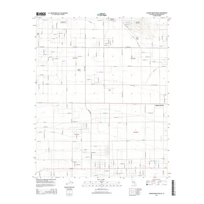
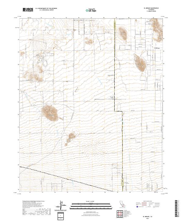 2021 El Mirage2021 Print · USGSEl Mirage sits at the edge of the high desert in the early twenty-first century, where the Los Angeles and San Bernardino county lines meet. Researchers can trace the layout of El Mirage Valley and find landmarks like Gray Butte Field, Moody Springs, and Black Butte.
 - 2021 Map of Shadow Mountains SE, 2021 Print
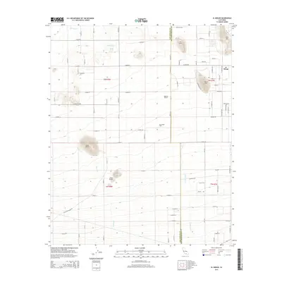
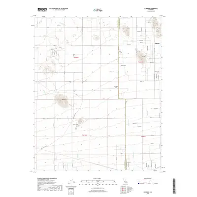
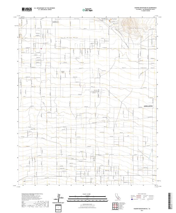 2021 Shadow Mountains SE2021 Print · USGSSan Bernardino County's high desert is captured here in the early twenty-first century, showcasing the arid transition from open playa to mountain slopes. Researchers can trace the development of Adelanto and aviation landmarks like El Mirage Field Adelanto Airport and the El Mirage Lake bed.
End of results
Showing maps 1-12 of 12
Top cities near El Mirage
- Victorville historical maps
- Hesperia historical maps
- Adelanto historical maps
- Piñon Hills historical maps
Frequently asked questions
- What are the different types of historical maps available for El Mirage?
- What is the oldest map of El Mirage?
- Where can I purchase historical maps of El Mirage for my home or office?
- Where can I download high-res historical maps of El Mirage?
- Are there historical topographic maps available for El Mirage?
- Is there historical aerial imagery available for El Mirage?
- Where are historical maps of El Mirage sourced from?