2000s (21st Century) Maps of Lucerne Valley, California
Explore 62 historic maps of Lucerne Valley from the 2000s (21st Century). These maps offer a rare glimpse into what life looked like during the 2000s — showing old roads, neighborhoods, homes, and landmarks that have changed or disappeared over time.
Whether you're researching your family's past, planning a metal detecting trip, or studying how Lucerne Valley's landscape evolved across the 2000s, these high-resolution maps are a powerful tool for exploring the history of this region.
- Focus on a specific era: All maps on this page are from the 2000s, giving you a focused view of this time period.
- See what’s changed: Compare century-old streets, trails, and buildings to today's modern landscape using overlays and satellite layers.
- Research with precision: Use these maps for genealogy, historical research, land use analysis, or educational projects.
- View, download, or print: Maps are fully viewable online in high resolution, and can be downloaded or printed for your own records.
Start exploring Lucerne Valley's history through authentic maps from the 2000s. This is your window into the past.
Lucerne Valley, CA maps
(62)- 2012 Map of Fry Mountains, 2012 Print
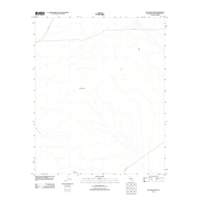 2012 Fry Mountains2012 Print · USGSThe Mojave Desert's arid landscape in San Bernardino County is captured here in the early twenty-first century. Researchers can trace remote desert routes like Camp Rock Rd and Bessemer Mine Rd as they navigate the slopes of the Fry Mountains and Red Hill.
 - 2012 Map of Grand View Mine, 2012 Print
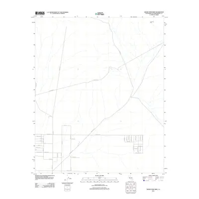 2012 Grand View Mine2012 Print · USGSLucerne Valley's high-desert landscape comes into focus during this early 21st-century period of rural expansion. Researchers can trace the layout of desert settlements and infrastructure along Camp Rock Rd, Northside Rd, and near the Grand View Mine.
 - 2012 Map of Ord Mountain, 2012 Print
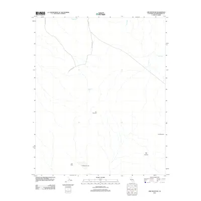 2012 Ord Mountain2012 Print · USGSThe Mojave Desert interior near Lucerne Valley is captured here in the early twenty-first century, showing the intersection of isolated desert tracks and mountain terrain. Researchers can map the proximity of Sweetwater Spring to Ord Mountain or trace the desert floor at Ericksen Dry Lake.
 - 2012 Map of Camp Rock Mine, 2012 Print
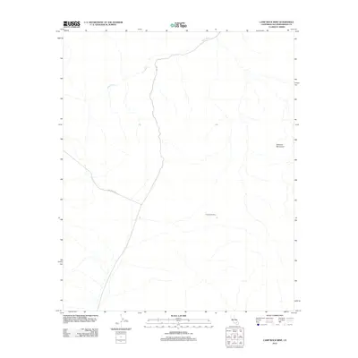 2012 Camp Rock Mine2012 Print · USGSThe Rodman Mountains and the high Mojave desert are captured here as they appeared in 2012. Researchers can trace the paths of Camp Rock Rd and Troy Rd to the namesake Camp Rock Mine along the upper reaches of Kane Wash.
 - 2012 Map of Old Woman Springs, 2012 Print
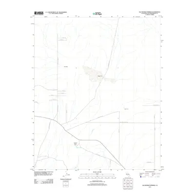 2012 Old Woman Springs2012 Print · USGSSan Bernardino County high desert life is captured here in the early twenty-first century, showing the intersection of ranching and mining. Researchers can trace land use at Old Woman Spring Ranch, Lafon Ranch, and the dry bed of Soggy Lake.
 - 2012 Map of Cougar Buttes, 2012 Print
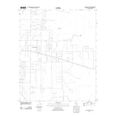 2012 Cougar Buttes2012 Print · USGSThe high desert of San Bernardino County comes into focus in this early twenty-first-century survey of the Lucerne Valley area. Researchers can trace the unique celestial-themed street layouts of the northern town and locate prominent landmarks like Cougar Buttes and Negro Butte.
 - 2012 Map of West Ord Mountain, 2012 Print
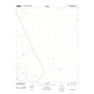 2012 West Ord Mountain2012 Print · USGSThe Mojave Desert highlands come into focus here during the early 2000s, showing the intersection of mountain peaks and emerging rural roads. Trace the arid landscape from West Ord Mountain to Taylor Spring, or follow the development of local ways like Jay Jay Blvd.
 - 2012 Map of Fairview Valley, 2012 Print
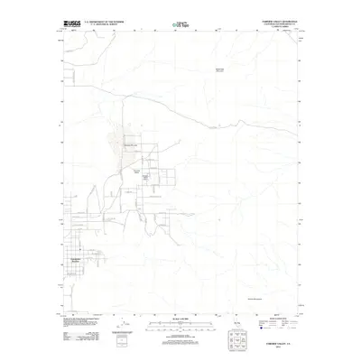 2012 Fairview Valley2012 Print · USGSIn the desert corridors of San Bernardino County during the early 2010s, this area shows a unique mix of ranch life and aviation history. Local researchers can trace the developed grid of Thunderbird Ranches or locate the Holiday Ranch Airport and Fairview Dry Lake.
 - 2012 Map of Stoddard Well, 2012 Print
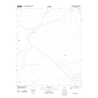 2012 Stoddard Well2012 Print · USGSThe High Desert of San Bernardino County is revealed in the early twenty-first century as a land of expansive ridges and historic water stops. Researchers can trace the paths of Stoddard Wells Rd and Farley Mine Rd past landmarks like Stoddard Well.
 - 2012 Map of Fifteenmile Valley, 2012 Print
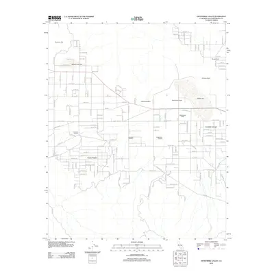 2012 Fifteenmile Valley2012 Print · USGSLucerne Valley in the early 2010s reveals a high desert landscape of dry lake beds and residential expansion. Genealogists and local historians can trace the development of Fizzben Heights or locate landmarks like Chimney Rock and Deadman Dry Lake.
 - 2012 Map of White Horse Mountain, 2012 Print
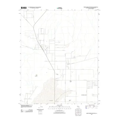 2012 White Horse Mountain2012 Print · USGSHigh desert settlement patterns emerge across San Bernardino County in the early twenty-first century. Researchers can trace the development of Lucerne Valley neighborhoods and landmark features like Lucerne Lake and Peterman Hill.
 - 2012 Map of Lucerne Valley, 2012 Print
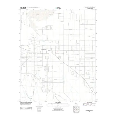 2012 Lucerne Valley2012 Print · USGSLucerne Valley is captured here during its early twenty-first-century expansion into the Mojave Desert landscape. Researchers can trace the development of residential grids near Lucerne Lake and identify local landmarks like the Box S Ranch and Rabbit Springs.
 - 2012 Map of Rattlesnake Canyon, 2012 Print
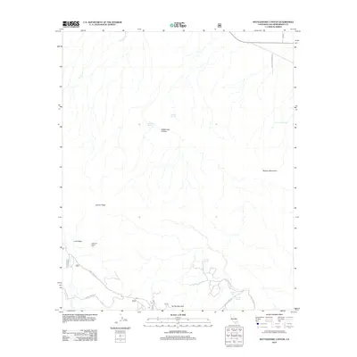 2012 Rattlesnake Canyon2012 Print · USGSThe high desert of San Bernardino County is captured here in the early twenty-first century, showing a landscape defined by isolated peaks and vital springs. Researchers can locate remote landmarks like the Champion Joshua Tree or trace back-country routes along Smarts Ranch Rd and Burns Canyon Rd.
 - 2012 Map of Butler Peak, 2012 Print
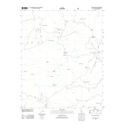 2012 Butler Peak2012 Print · USGSThe high San Bernardino Mountains around Lucerne Valley were a hub of seasonal activity and early mining in the early twenty-first century. Researchers can trace the legacy of high-country life through sites like Hawes Ranch, the Tent Peg Group, and Big Pine Flat Campground.
 - 2012 Map of Big Bear City, 2012 Print
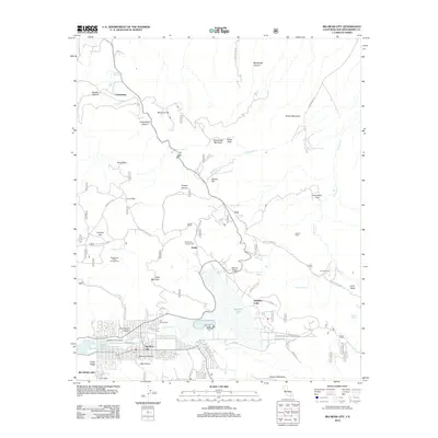 2012 Big Bear City2012 Print · USGSThe San Bernardino Mountains transition from the residential streets of Big Bear City to high-desert ranchlands in the early twenty-first century. Researchers can trace the network of forest roads and springs connecting Smarts Ranch, Gold Mountain, and Baldwin Lake.
 - 2015 Map of White Horse Mountain, 2015 Print
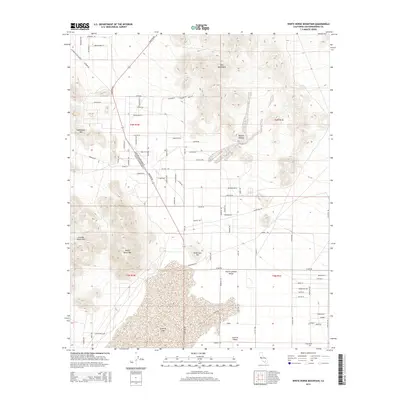 2015 White Horse Mountain2015 Print · USGSLucerne Valley and its surrounding high desert peaks are documented here in the early twenty-first century as local development meets the basin floor. Researchers can trace the expansion of the valley's road network near Lucerne Lake and the rugged slopes of White Horse Mtn and Peterman Hill.
 - 2015 Map of Grand View Mine, 2015 Print
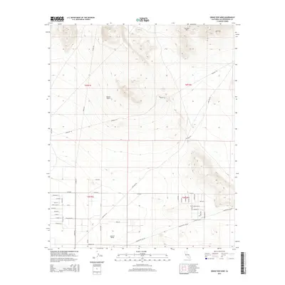 2015 Grand View Mine2015 Print · USGSThe northern edge of the Mojave Desert meets the slopes of the Ord Mountains in the mid-2010s. Researchers can trace the development of Lucerne Valley through local roads like Smoke Bush Rd and locate the historical Grand View Mine near East Ord Mtn.
 - 2015 Map of Cougar Buttes, 2015 Print
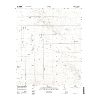 2015 Cougar Buttes2015 Print · USGSLucerne Valley is shown here in the mid-2010s, capturing a unique mix of high-desert geological landmarks and celestial-themed suburban planning. Trace the transition from the Mojave Desert floor to the prominent Cougar Buttes or follow the path of the Cherokee Trl.
 - 2015 Map of West Ord Mountain, 2015 Print
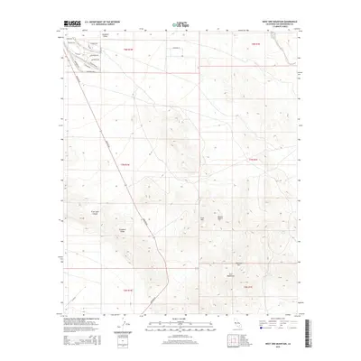 2015 West Ord Mountain2015 Print · USGSThe high Mojave desert and the rugged Ord Mountains are shown here as they appeared in 2015. Genealogists and local historians can trace the development of rural homesteads near Barstow Rd and locate remote desert water sources like Goat Spring and Joker Spring.
 - 2015 Map of Ord Mountain, 2015 Print
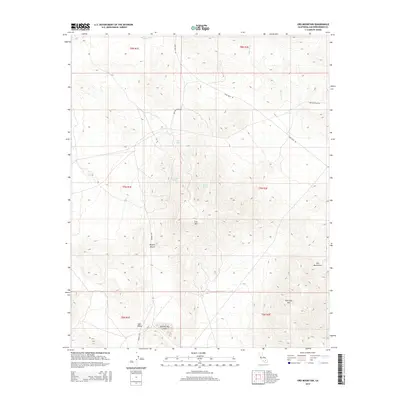 2015 Ord Mountain2015 Print · USGSIn the heart of the San Bernardino high desert, this mid-2010s survey reveals a landscape of isolated peaks and vital water sources. Researchers can trace the rugged desert routes of Camp Rock Rd and Harrod Rd as they pass historical waypoints like Aztec Spring and Willow Spring.
 - 2015 Map of Camp Rock Mine, 2015 Print
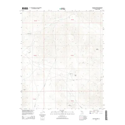 2015 Camp Rock Mine2015 Print · USGSThe high Mojave Desert in 2015 is captured here at a moment of stillness in its long mining and transit history. Mineral seekers and desert historians can trace the paths of Camp Rock Rd and Canyon Route to the Camp Rock Mine.
 - 2015 Map of Fry Mountains, 2015 Print
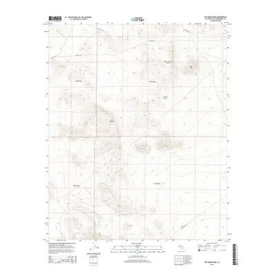 2015 Fry Mountains2015 Print · USGSThe high desert landscape of San Bernardino County is documented here during the early twenty-first century. Researchers can trace remote desert access routes like Camp Rock Rd and Bessemer Mine Rd as they skirt the Fry Mountains.
 - 2015 Map of Rattlesnake Canyon, 2015 Print
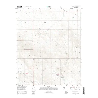 2015 Rattlesnake Canyon2015 Print · USGSThe northern San Bernardino Mountains and the arid expanse of Johnson Valley meet in this 2015 study of the high desert. Researchers can trace historic water sources like Two Hole Spring and isolated backcountry routes including Rattlesnake Canyon Rd.
 - 2015 Map of Butler Peak, 2015 Print
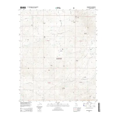 2015 Butler Peak2015 Print · USGSThe high peaks of the San Bernardino Mountains come alive in this modern survey of the California backcountry. Researchers can trace the Pacific Crest National Scenic Trail through a landscape dotted with alpine springs like Snow Slide Spring and the high elevations of Butler Peak.
 - 2015 Map of Fifteenmile Valley, 2015 Print
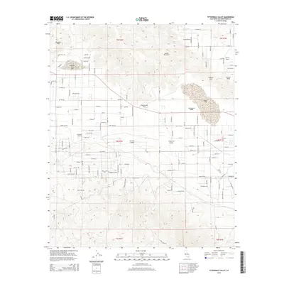 2015 Fifteenmile Valley2015 Print · USGSThe high desert of San Bernardino County comes into focus in this mid-2010s study of the communities bordering the Mojave's dry basins. Genealogists and desert historians can trace the street grids of Lucerne Valley and Sunset Cove against landmarks like Rabbit Lake and Chimney Rock.
Showing maps 1-25 of 62
Frequently asked questions
- What are the different types of historical maps available for Lucerne Valley?
- What is the oldest map of Lucerne Valley?
- Where can I purchase historical maps of Lucerne Valley for my home or office?
- Where can I download high-res historical maps of Lucerne Valley?
- Are there historical topographic maps available for Lucerne Valley?
- Is there historical aerial imagery available for Lucerne Valley?
- Where are historical maps of Lucerne Valley sourced from?