2020s Maps of Lucerne Valley, California
Explore 17 historic maps of Lucerne Valley from the 2020s. These maps offer a rare glimpse into what life looked like during the 2020s — showing old roads, neighborhoods, homes, and landmarks that have changed or disappeared over time.
Whether you're researching your family's past, planning a metal detecting trip, or studying how Lucerne Valley's landscape evolved across the 2020s, these high-resolution maps are a powerful tool for exploring the history of this region.
- Focus on a specific era: All maps on this page are from the 2020s, giving you a focused view of this time period.
- See what’s changed: Compare century-old streets, trails, and buildings to today's modern landscape using overlays and satellite layers.
- Research with precision: Use these maps for genealogy, historical research, land use analysis, or educational projects.
- View, download, or print: Maps are fully viewable online in high resolution, and can be downloaded or printed for your own records.
Start exploring Lucerne Valley's history through authentic maps from the 2020s. This is your window into the past.
Lucerne Valley, CA maps
(17)- 2021 Map of Rattlesnake Canyon, 2021 Print
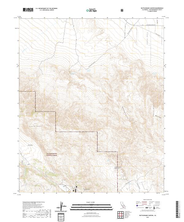 2021 Rattlesnake Canyon2021 Print · USGSThe San Bernardino high desert comes into focus in the early 2020s, where mountain ranges meet arid basins. Trace historic water sources and backcountry routes near Rattlesnake Canyon, Tip Top Mtn, and San Bernardino National Forest.
 - 2021 Map of Old Woman Springs, 2021 Print
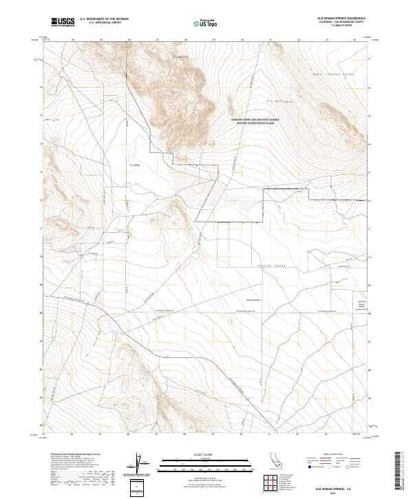 2021 Old Woman Springs2021 Print · USGSThe Mojave Desert north of Lucerne Valley comes into focus in the early 2020s, showing a landscape defined by isolated springs and mountain ranges. Researchers can trace the routes of Old Woman Springs Rd and find landmarks like Old Woman Springs and the Abraham Ranch Airport.
 - 2021 Map of Ord Mountain, 2021 Print
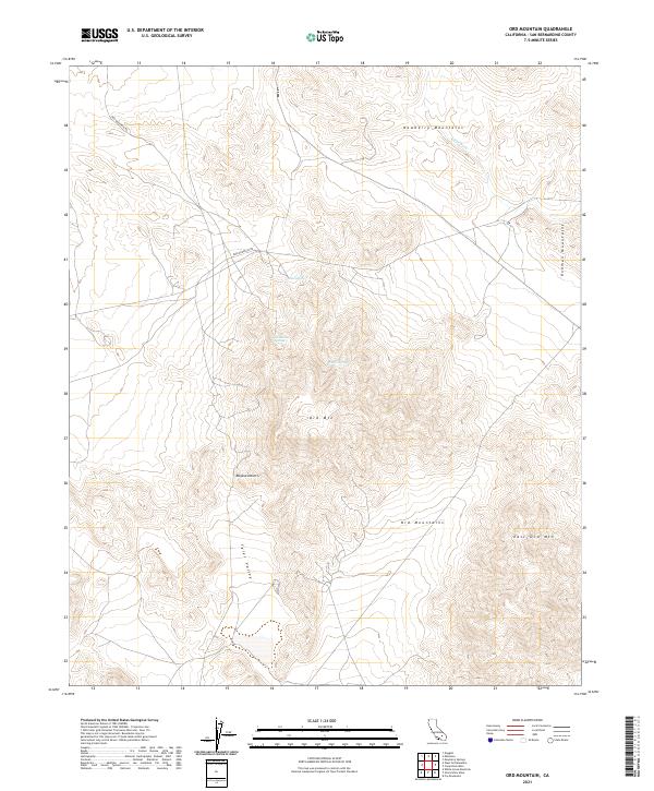 2021 Ord Mountain2021 Print · USGSThe Mojave Desert highlands come into focus in the early 2020s, showcasing the isolated peaks and vital water sources of the high desert. Researchers can trace the path of Ord Mountain Rd and locate remote desert water points like Aztec Spring and Sweetwater Spring.
 - 2021 Map of Fry Mountains, 2021 Print
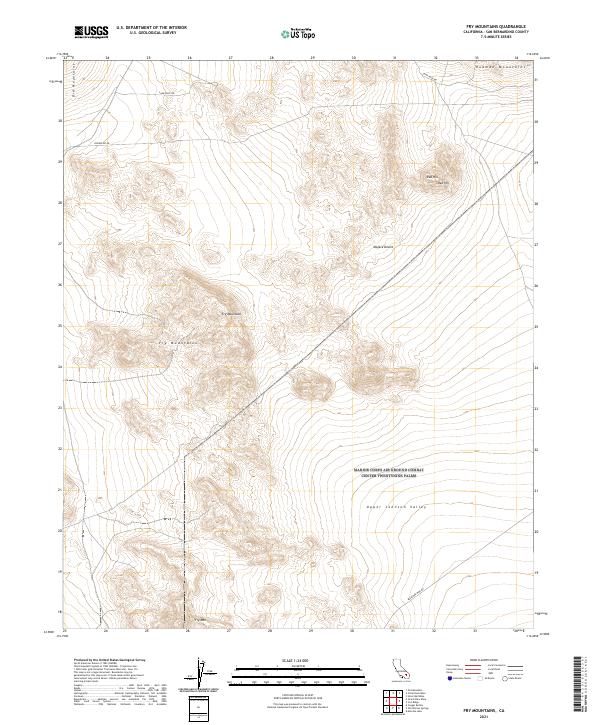 2021 Fry Mountains2021 Print · USGSThe high Mojave Desert south of the Rodman range is captured here in the early 2020s, showing a landscape defined by mining roads and mountain peaks. Researchers can trace historical access routes like Bessemer Mine Rd and Camp Rock Rd as they navigate the terrain between Fry Mtn and Red Hill.
 - 2021 Map of Grand View Mine, 2021 Print
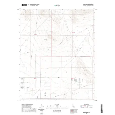 2021 Grand View Mine2021 Print · USGSCovers Lucerne Valley, including San Bernardino County, United States, and other nearby areas
 - 2021 Map of Camp Rock Mine, 2021 Print
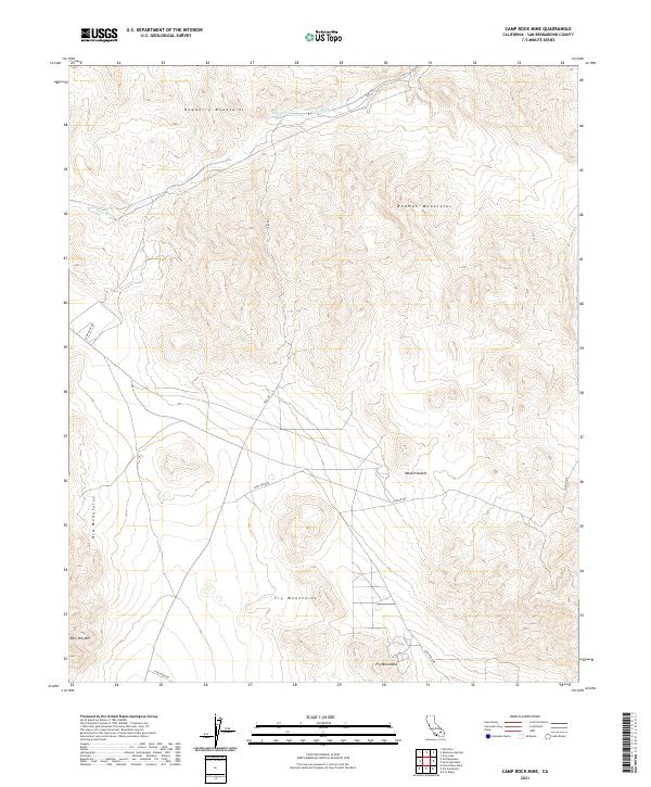 2021 Camp Rock Mine2021 Print · USGSThe northern Mojave Desert comes into view in this 2021 survey, documenting the rugged peaks and desert tracks of San Bernardino County. Trace the paths of Camp Rock Rd past Kane Springs and into the Rodman Mountains.
 - 2021 Map of Stoddard Well, 2021 Print
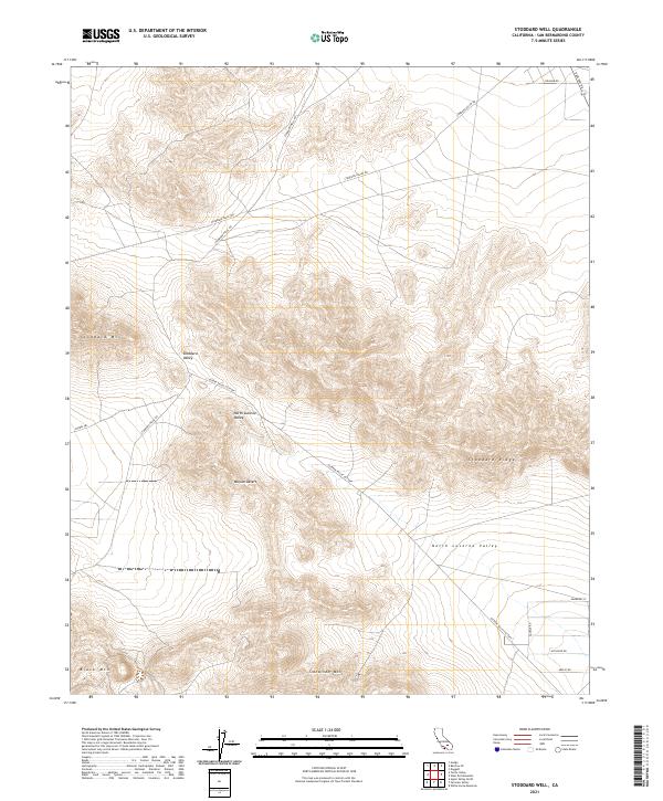 2021 Stoddard Well2021 Print · USGSThe high Mojave Desert comes into focus in this contemporary survey of the San Bernardino interior. Trace the complex topography between Stoddard Ridge and Sidewinder Mtn, or locate desert routes like Stoddard Wells Rd and Sorrel Trl.
 - 2021 Map of Fifteenmile Valley, 2021 Print
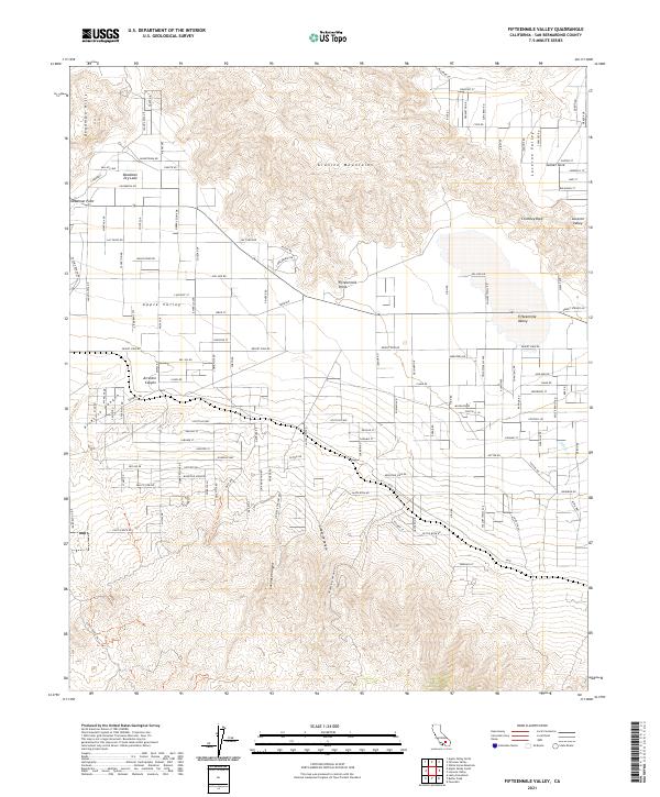 2021 Fifteenmile Valley2021 Print · USGSApple Valley and Lucerne Valley are shown here in the early 2020s, showing the intersection of Mojave Desert residential growth and rugged mountain terrain. Researchers can trace local landmarks like Chimney Rock and the drainage patterns of Arrastre Canyon and Lovelace Canyon.
 - 2021 Map of Cougar Buttes, 2021 Print
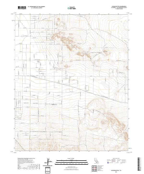 2021 Cougar Buttes2021 Print · USGSThe high desert of Lucerne Valley comes alive in this contemporary survey of the eastern San Bernardino County basin. Genealogists and local historians can trace the intersection of old desert corridors like Old Woman Springs Rd with family-named landmarks and remote desert paths like the Anza Trl.
 - 2021 Map of Big Bear City, 2021 Print
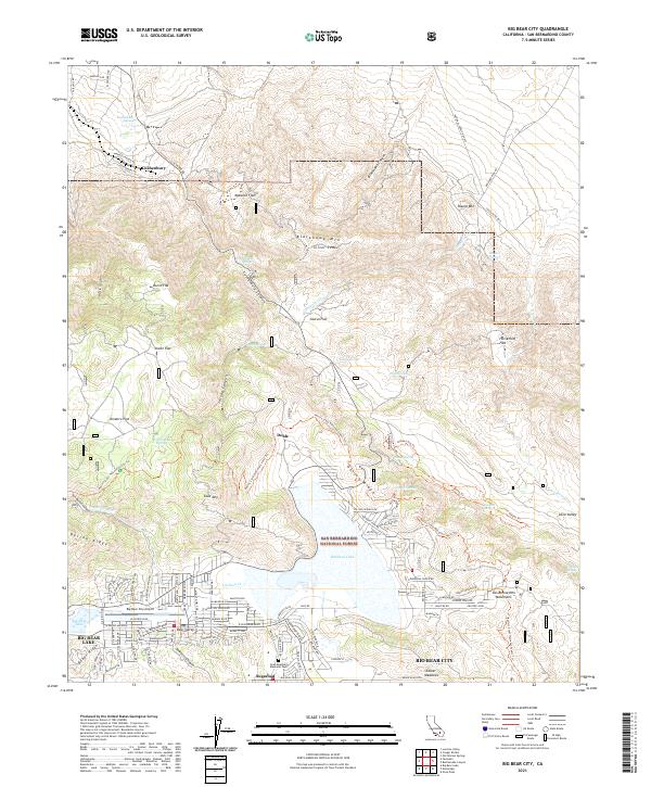 2021 Big Bear City2021 Print · USGSBig Bear City at the start of the 2020s shows a high-altitude community shaped by its alpine valley and forest surroundings. Researchers can trace the layout of Sugarloaf and Doble or locate landmarks like Gold Mtn and the Big Bear City Airport.
 - 2021 Map of White Horse Mountain, 2021 Print
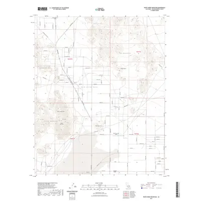 2021 White Horse Mountain2021 Print · USGSCovers Lucerne Valley, including San Bernardino County, United States, and other nearby areas
 - 2021 Map of Butler Peak, 2021 Print
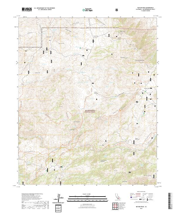 2021 Butler Peak2021 Print · USGSThe San Bernardino Mountains are shown here in recent years, documenting the intricate trails and vital water sources of the high forest. Hikers and historians can trace the Pacific Crest National Scenic Trl past landmarks like Crab Flats and Butler Peak.
 - 2021 Map of Fairview Valley, 2021 Print
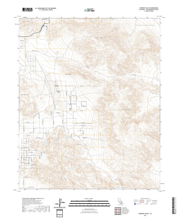 2021 Fairview Valley2021 Print · USGSThe high Mojave Desert comes alive on this survey from the early 2020s, showcasing the intersection of residential growth and wild basin-and-range terrain. Local historians can trace the paths to Quail Spring or locate landmarks like the Holiday Ranch Airport and Fairview Dry Lake.
 - 2021 Map of West Ord Mountain, 2021 Print
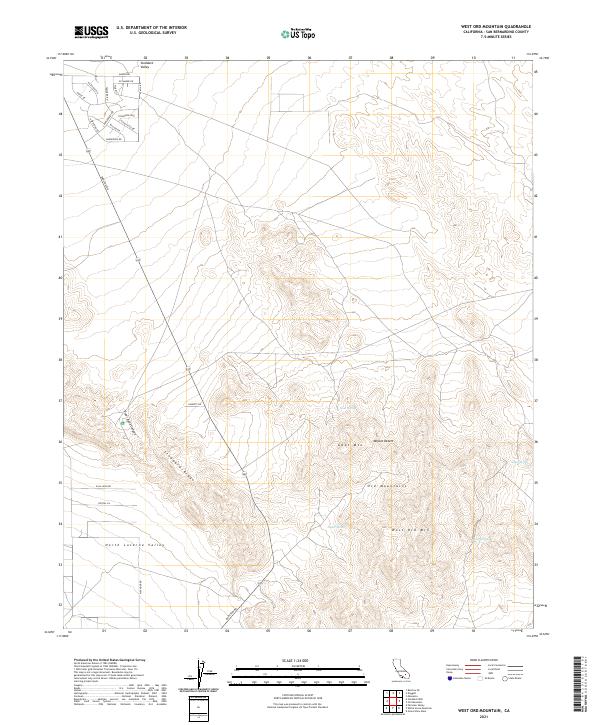 2021 West Ord Mountain2021 Print · USGSThe Mojave Desert and the Ord Mountains are captured in this contemporary survey of San Bernardino County. Researchers can trace remote water sources like Goat Spring and Taylor Spring or the residential growth near Stoddard Valley along Barstow Rd.
 - 2021 Map of Lucerne Valley, 2021 Print
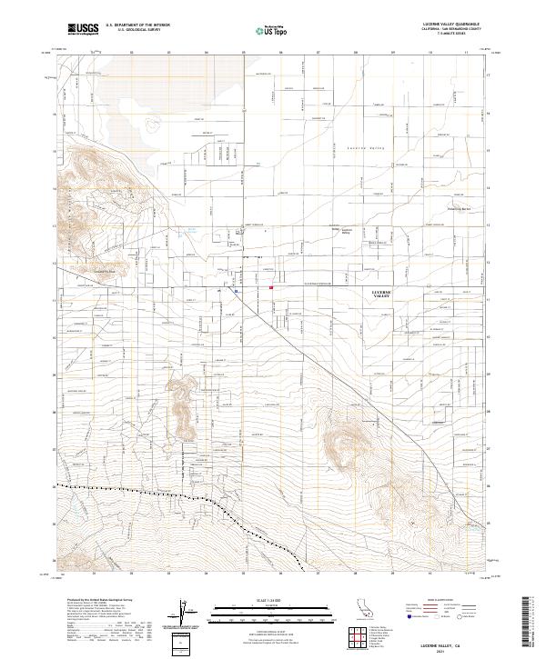 2021 Lucerne Valley2021 Print · USGSLucerne Valley sits at the intersection of desert living and high-mountain peaks in this 2021 topographic survey. Trace the local community grid along Post Office Rd or find natural landmarks like Rabbit Springs, Strawberry Peak, and Pickaninny Buttes.
 - 2023 Map of Grand View Mine, 2023 Print
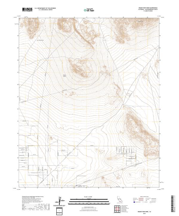 2023 Grand View Mine2023 Print · USGSLucerne Valley sits at the edge of the high desert in the early twenty-first century, framed by the peaks of the northern range. Genealogists and desert explorers can trace the modern street grid and older routes like Camp Rock Rd toward East Ord Mtn.
 - 2023 Map of White Horse Mountain, 2023 Print
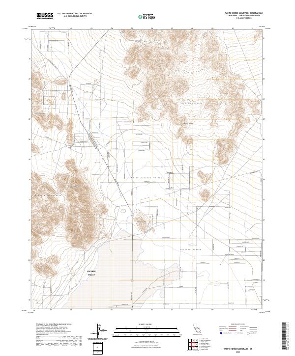 2023 White Horse Mountain2023 Print · USGSLucerne Valley and the high desert communities of San Bernardino County are shown here in modern detail. Researchers can trace land boundaries near White Horse Mtn or follow the grid of Lucerne Valley toward Peterman Hill.
End of results
Showing maps 1-17 of 17
Frequently asked questions
- What are the different types of historical maps available for Lucerne Valley?
- What is the oldest map of Lucerne Valley?
- Where can I purchase historical maps of Lucerne Valley for my home or office?
- Where can I download high-res historical maps of Lucerne Valley?
- Are there historical topographic maps available for Lucerne Valley?
- Is there historical aerial imagery available for Lucerne Valley?
- Where are historical maps of Lucerne Valley sourced from?