2000s (21st Century) Maps of Santee, California
Explore 16 historic maps of Santee from the 2000s (21st Century). These maps offer a rare glimpse into what life looked like during the 2000s — showing old roads, neighborhoods, homes, and landmarks that have changed or disappeared over time.
Whether you're researching your family's past, planning a metal detecting trip, or studying how Santee's landscape evolved across the 2000s, these high-resolution maps are a powerful tool for exploring the history of this region.
- Focus on a specific era: All maps on this page are from the 2000s, giving you a focused view of this time period.
- See what’s changed: Compare century-old streets, trails, and buildings to today's modern landscape using overlays and satellite layers.
- Research with precision: Use these maps for genealogy, historical research, land use analysis, or educational projects.
- View, download, or print: Maps are fully viewable online in high resolution, and can be downloaded or printed for your own records.
Start exploring Santee's history through authentic maps from the 2000s. This is your window into the past.
Santee, CA maps
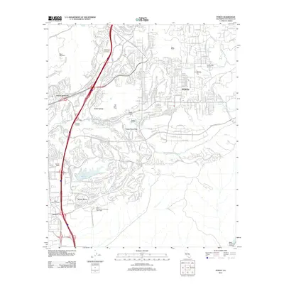
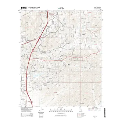
(16)- 2012 Map of San Vicente Reservoir, 2012 Print
 2012 San Vicente Reservoir2012 Print · USGSCovers Santee, including San Diego, Poway, and other nearby areas
 - 2012 Map of Poway, 2012 Print
 2012 Poway2012 Print · USGSCovers Santee, including San Diego, Poway, and other nearby areas
 - 2012 Map of El Cajon, 2012 Print
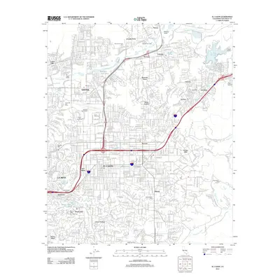 2012 El Cajon2012 Print · USGSCovers Santee, including El Cajon, La Mesa, and other nearby areas
 - 2012 Map of La Mesa, 2012 Print
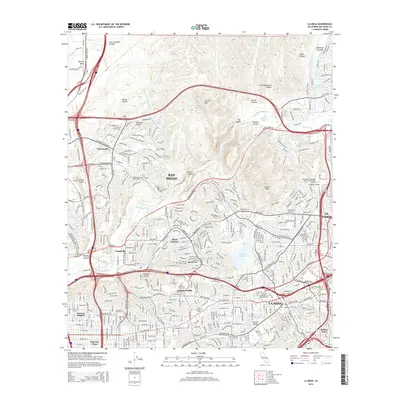
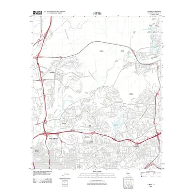 2012 La Mesa2012 Print · USGSCovers Santee, including San Diego, El Cajon, and other nearby areas
 - 2015 Map of El Cajon, 2015 Print
 2015 El Cajon2015 Print · USGSCovers Santee, including El Cajon, La Mesa, and other nearby areas
 - 2015 Map of Poway, 2015 Print
 2015 Poway2015 Print · USGSCovers Santee, including San Diego, Poway, and other nearby areas
 - 2015 Map of San Vicente Reservoir, 2015 Print
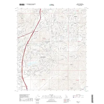
 2015 San Vicente Reservoir2015 Print · USGSCovers Santee, including San Diego, Poway, and other nearby areas
 - 2015 Map of La Mesa, 2015 Print
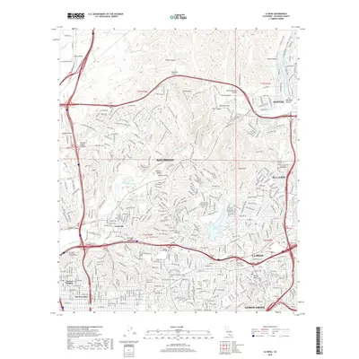
 2015 La Mesa2015 Print · USGSCovers Santee, including San Diego, El Cajon, and other nearby areas
 - 2018 Map of Poway, 2018 Print
 2018 Poway2018 Print · USGSCovers Santee, including San Diego, Poway, and other nearby areas
 - 2018 Map of La Mesa, 2018 Print
 2018 La Mesa2018 Print · USGSCovers Santee, including San Diego, El Cajon, and other nearby areas
 - 2018 Map of El Cajon, 2018 Print
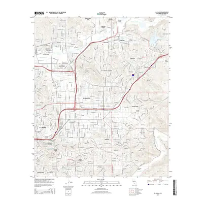
 2018 El Cajon2018 Print · USGSCovers Santee, including El Cajon, La Mesa, and other nearby areas
 - 2018 Map of San Vicente Reservoir, 2018 Print
 2018 San Vicente Reservoir2018 Print · USGSCovers Santee, including San Diego, Poway, and other nearby areas
 - 2021 Map of La Mesa, 2021 Print
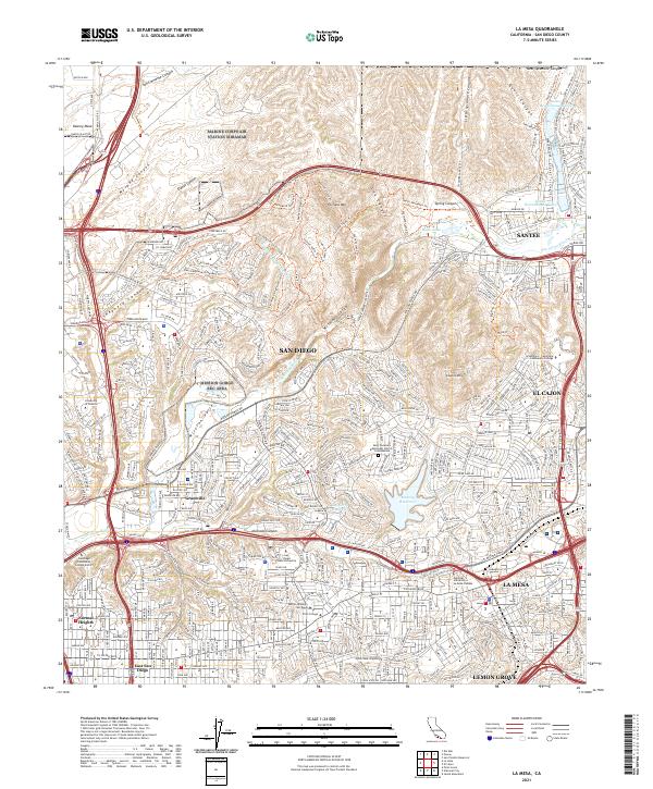 2021 La Mesa2021 Print · USGSThe San Diego interior and its neighboring cities are captured here in the contemporary era as suburban development meets the ridges of the Peninsular Ranges. Researchers can trace the boundaries of San Diego and La Mesa while locating landmarks like Murray Reservoir and San Diego State University.
 - 2021 Map of Poway, 2021 Print
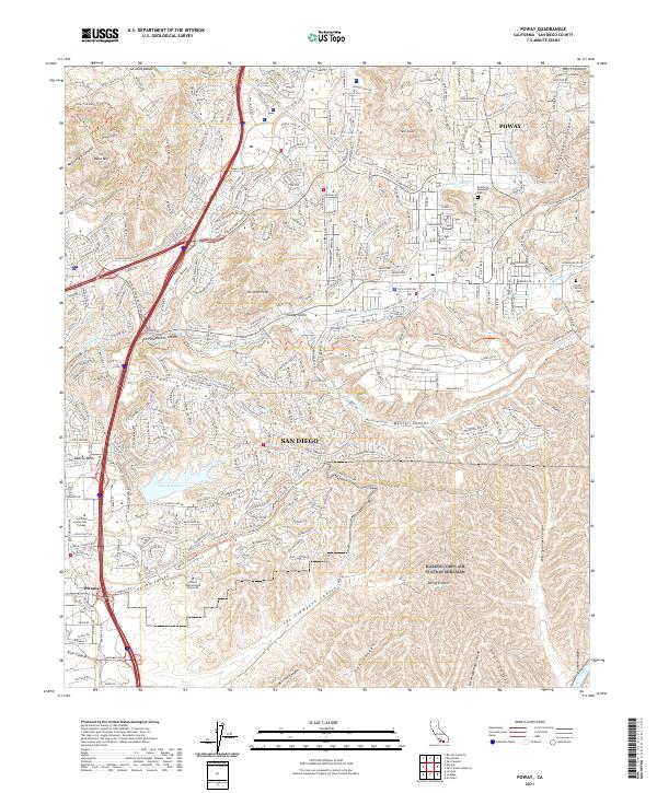 2021 Poway2021 Print · USGSPoway and the northern reaches of San Diego are shown here in the early twenty-first century as suburban growth follows the terrain of the inland canyons. Genealogists and local historians can locate the Smith Pioneer Cem, Dearborn Memorial Park, and prominent landmarks like Lake Miramar and Twin Peaks.
 - 2021 Map of El Cajon, 2021 Print
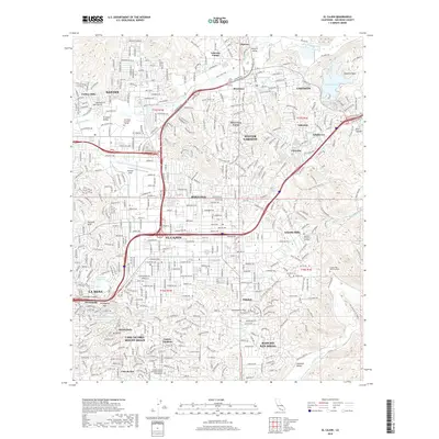
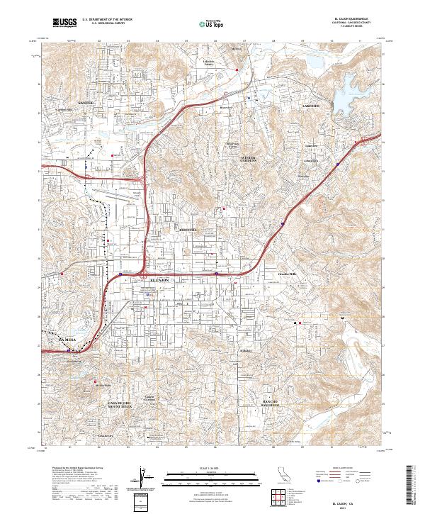 2021 El Cajon2021 Print · USGSThe El Cajon Valley and its surrounding hills come into focus in the early 2020s, showing a densely settled landscape where suburban growth meet historic trail routes. Researchers can trace the heritage of Bostonia and Lakeside while locating the El Cajon Cem and Gillespie Field.
 - 2021 Map of San Vicente Reservoir, 2021 Print
 2021 San Vicente Reservoir2021 Print · USGSThe San Diego foothills north of Santee are captured here in the early twenty-first century, centered on the significant waters of the San Vicente Reservoir. Trace local history through hillside settlements like Fernbrook, Shady Dell, and Foster, or find the high-elevation routes of the Iron-Mountain-Peak-Trl.
End of results
Showing maps 1-16 of 16
Top cities near Santee
- San Diego historical maps
- Chula Vista historical maps
- Escondido historical maps
- El Cajon historical maps
- San Marcos historical maps
- Encinitas historical maps
See more
Top neighborhoods of Santee
Frequently asked questions
- What are the different types of historical maps available for Santee?
- What is the oldest map of Santee?
- Where can I purchase historical maps of Santee for my home or office?
- Where can I download high-res historical maps of Santee?
- Are there historical topographic maps available for Santee?
- Is there historical aerial imagery available for Santee?
- Where are historical maps of Santee sourced from?