2020s Maps of Santa Barbara County, California
Explore 77 historic maps of Santa Barbara County from the 2020s. These maps offer a rare glimpse into what life looked like during the 2020s — showing old roads, neighborhoods, homes, and landmarks that have changed or disappeared over time.
Whether you're researching your family's past, planning a metal detecting trip, or studying how Santa Barbara County's landscape evolved across the 2020s, these high-resolution maps are a powerful tool for exploring the history of this region.
- Focus on a specific era: All maps on this page are from the 2020s, giving you a focused view of this time period.
- See what’s changed: Compare century-old streets, trails, and buildings to today's modern landscape using overlays and satellite layers.
- Research with precision: Use these maps for genealogy, historical research, land use analysis, or educational projects.
- View, download, or print: Maps are fully viewable online in high resolution, and can be downloaded or printed for your own records.
Start exploring Santa Barbara County's history through authentic maps from the 2020s. This is your window into the past.
Santa Barbara County, CA maps
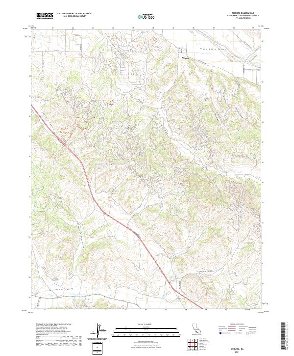
(77)- 2021 Map of Tajiguas, 2021 Print
 2021 Tajiguas2021 Print · USGSThe Santa Barbara coastline meets the southern slopes of the mountains in this recent look at a rugged stretch of the Pacific shore. Trace local trails and canyons from Arroyo Quemado to the public reaches of Refugio Beach and El Capitan Beach.
 - 2021 Map of Point Sal, 2021 Print
 2021 Point Sal2021 Print · USGSThe northern Santa Barbara coastline is captured here in the early 2020s, showing the dramatic meeting of the Santa Maria Valley and the Pacific. Trace the paths of the Point Sal Trl and Pismo-Beach Route Trl across the heights of the Casmalia Hills.
 - 2021 Map of Santa Rosa Island North OE W, 2021 Print
 2021 Santa Rosa Island North OE W2021 Print · USGSSanta Rosa Island's northern coastline is captured here in the modern era within the bounds of the Channel Islands National Park. Researchers can trace the rugged shoreline from Sandy Point to Brockway Point and locate remote island paths like Camp Road Trl.
 - 2021 Map of San Miguel Island East, 2021 Print
 2021 San Miguel Island East2021 Print · USGSThe eastern coast of San Miguel Island is mapped here as a modern maritime wilderness within the national park system. Trace the rugged shoreline and offshore features from Prince Island to the remote southern tip at Crook Point using the Canyon Trl.
 - 2021 Map of Sacate, 2021 Print
 2021 Sacate2021 Print · USGSThis Gaviota Coast survey from the early 2020s shows where the mountains meet the sea along the Santa Barbara shoreline. Researchers can trace the coastal ranching history through small settlements like San Augustine and Sacate, and remote drainages like Cañada de Santa Anita.
 - 2021 Map of Tepusquet Canyon, 2021 Print
 2021 Tepusquet Canyon2021 Print · USGSThe Sierra Madre Mountains and Los Padres National Forest are captured here in a period of modern wilderness management. Genealogists and hikers can trace the Ontiveros Cem and remote water sources like Cigarette Spring and Peach Tree Spring.
 - 2021 Map of Lompoc, 2021 Print
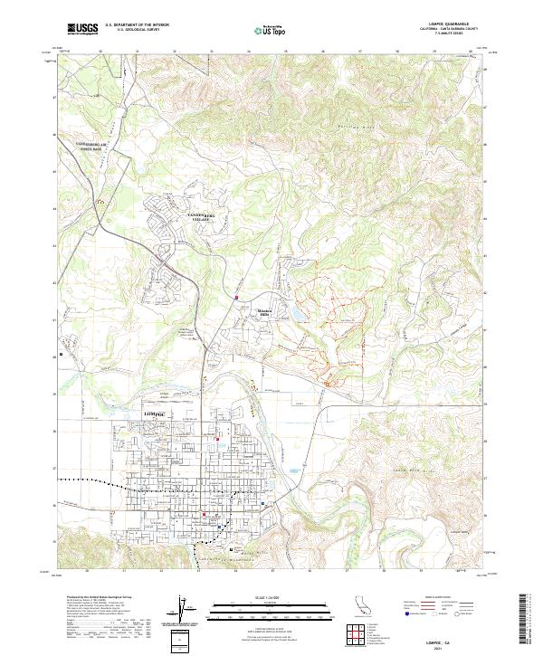 2021 Lompoc2021 Print · USGSLompoc and its surrounding valleys are captured here in the early 2020s, showing the intersection of suburban growth and the Santa Barbara County landscape. Researchers can locate Evergreen Cem, the Lompoc Airport, and neighborhood trails like Los Patos Trl.
 - 2021 Map of Santa Ynez, 2021 Print
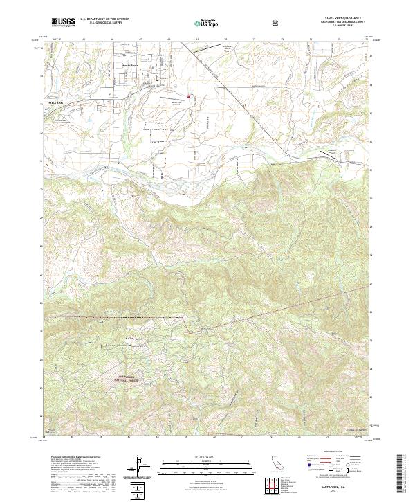 2021 Santa Ynez2021 Print · USGSThe Santa Ynez Valley and Solvang appear in this modern survey as they balance growing settlements with deep-rooted ranching traditions. Researchers can trace the drainage patterns of the Santa Ynez River or locate historic transit points like Refugio Pass and Bald Mtn.
 - 2021 Map of Gaviota, 2021 Print
 2021 Gaviota2021 Print · USGSThe coastal canyons and mountain passes of Santa Barbara County are captured here during the early 2020s. Researchers can trace historic routes like Cll Real and explore named drainages such as Cañada del Cementerio and Arroyo Honda Creek.
 - 2021 Map of Casmalia OE W, 2021 Print
 2021 Casmalia OE W2021 Print · USGSThe Santa Barbara coast meets the open sea in this contemporary maritime survey. Researchers can trace the rugged shoreline from the Casmalia Hills down to the prominent coastal projection at Purisima Point.
 - 2021 Map of Tranquillon Mountain, 2021 Print
 2021 Tranquillon Mountain2021 Print · USGSThe Santa Barbara coast and the western Santa Ynez Mountains are shown here in detail during the early 2020s. Researchers can trace the rugged topography of Tranquillon Mtn, the coastal flats at Sudden Flats, and landmarks like Espada Bluff.
 - 2021 Map of Santa Rosa Island North, 2021 Print
 2021 Santa Rosa Island North2021 Print · USGSThe northern shores of Santa Rosa Island are captured in this modern survey of the California coastline. Conservationists and maritime historians can trace terrain features from the Northwest Anchorage to remote paths like the Lobo Canyon Trl and Beacon Reef.
 - 2021 Map of Lompoc Hills, 2021 Print
 2021 Lompoc Hills2021 Print · USGSCoastal Santa Barbara County is mapped here in recent years, showing the dramatic transition from the Santa Ynez Mountains to the Pacific. Local researchers can trace old ranch routes like Jalama Rd and locate landmarks such as Sudden Peak and Sulphur Spring.
 - 2021 Map of Guadalupe, 2021 Print
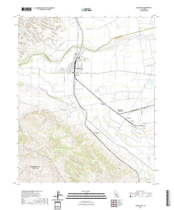 2021 Guadalupe2021 Print · USGSThe Santa Maria Valley is captured here in the early twenty-first century, showing the intersection of agricultural wealth and the rugged hills of the Central Coast. Local historians can trace the rail sidings of Barsug and Waldorf or find family plots at Guadalupe Cem.
 - 2021 Map of San Miguel Island West, 2021 Print
 2021 San Miguel Island West2021 Print · USGSSan Miguel Island in the early 2020s remains a preserved maritime wilderness at the edge of the Pacific. Researchers can trace the isolated Point Bennett Trail and locate offshore landmarks like Wilson Rock and Castle Rock.
 - 2021 Map of Solvang, 2021 Print
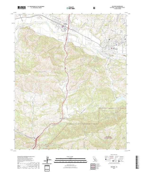 2021 Solvang2021 Print · USGSThe Santa Ynez Valley and the southern coast ranges come into focus during this modern era of Santa Barbara County geography. Researchers can trace the development of Solvang and Buellton or locate specific landmarks like Nojoqui Falls and Gaviota Peak.
 - 2021 Map of Twitchell Dam, 2021 Print
 2021 Twitchell Dam2021 Print · USGSThe confluence of the Cuyama and Sisquoc rivers defines this northern Santa Barbara County landscape in the early 2020s. Genealogists and local historians can trace the rural layout around Garey, the Santa Maria Valley, and the massive Twitchell Reservoir.
 - 2021 Map of Foxen Canyon, 2021 Print
 2021 Foxen Canyon2021 Print · USGSSanta Barbara County’s rugged interior is captured here in recent years, showing the intersection of the Sierra Madre Mountains and the Sisquoc River. Genealogists and local historians can locate the San Ramon Chapel Cem and trace old routes through Foxen Canyon and Cat Canyon.
 - 2021 Map of Sisquoc, 2021 Print
 2021 Sisquoc2021 Print · USGSSanta Barbara County’s ranching and canyon country is well-defined in this contemporary survey of the hills south of the Santa Maria Valley. Modern researchers can trace access roads and trails through the Solomon Hills to landmarks like Dinosaur Hill and the Sisquoc River.
 - 2021 Map of Los Alamos, 2021 Print
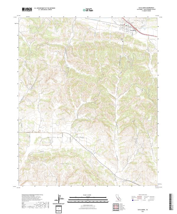 2021 Los Alamos2021 Print · USGSSettled in the valley between the Solomon and Purisima Hills, this area shows the enduring rural layout of northern Santa Barbara County. Researchers can trace local landmarks like Los Alamos Cem and the canyon routes of Drum Canyon and Cebada Canyon.
 - 2021 Map of Los Olivos, 2021 Print
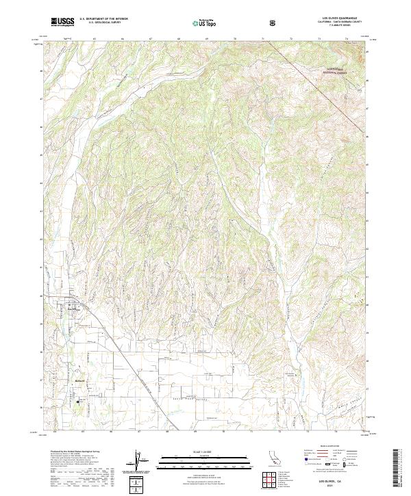 2021 Los Olivos2021 Print · USGSLos Olivos and the surrounding valley are shown in high detail during the early 2020s, capturing the balance of township growth and protected forest land. Local researchers can trace family landmarks and rural infrastructure from the Cem in Ballard to the San Lorenzo Seminary.
 - 2021 Map of Surf, 2021 Print
 2021 Surf2021 Print · USGSThe Santa Barbara coast meets military and agricultural history in the early 2020s near the mouth of the Santa Ynez. Genealogists and historians can trace the transit corridor through Surf and La Salle or the sprawling layout of Vandenberg Air Force Base.
 - 2021 Map of Santa Rosa Hills, 2021 Print
 2021 Santa Rosa Hills2021 Print · USGSThe northern Santa Ynez Mountains and coastal drainages are captured here in the early twenty-first century. Researchers can trace land tracts such as El Rancho Arbolado and rugged canyons like Cañada de la Viña or Cañada de Alegria.
 - 2021 Map of Manzanita Mountain, 2021 Print
 2021 Manzanita Mountain2021 Print · USGSThe Sierra Madre Mountains are mapped here in the early 2020s, showing the backcountry trail systems of Santa Barbara County. Researchers and hikers can trace specific routes like the White Elephant Trl, find Horseshoe Spring, and locate Manzanita Mtn.
 - 2021 Map of Zaca Creek, 2021 Print
 2021 Zaca Creek2021 Print · USGSSanta Barbara County in the early 2020s shows a landscape of deep canyons and rising hills north of Buellton. Genealogists and local historians can trace the paths of Zaca Cr and Ballard Canyon alongside modern recreational routes like Magic Mike's Trl.
Showing maps 1-25 of 77
Top cities of Santa Barbara County
- Santa Maria historical maps
- Santa Barbara historical maps
- Lompoc historical maps
- Lompoc historical maps
- Orcutt historical maps
- Goleta historical maps
See more
Frequently asked questions
- What are the different types of historical maps available for Santa Barbara County?
- What is the oldest map of Santa Barbara County?
- Where can I purchase historical maps of Santa Barbara County for my home or office?
- Where can I download high-res historical maps of Santa Barbara County?
- Are there historical topographic maps available for Santa Barbara County?
- Is there historical aerial imagery available for Santa Barbara County?
- Where are historical maps of Santa Barbara County sourced from?