2000s (21st Century) Maps of Santa Barbara County, California
Explore 308 historic maps of Santa Barbara County from the 2000s (21st Century). These maps offer a rare glimpse into what life looked like during the 2000s — showing old roads, neighborhoods, homes, and landmarks that have changed or disappeared over time.
Whether you're researching your family's past, planning a metal detecting trip, or studying how Santa Barbara County's landscape evolved across the 2000s, these high-resolution maps are a powerful tool for exploring the history of this region.
- Focus on a specific era: All maps on this page are from the 2000s, giving you a focused view of this time period.
- See what’s changed: Compare century-old streets, trails, and buildings to today's modern landscape using overlays and satellite layers.
- Research with precision: Use these maps for genealogy, historical research, land use analysis, or educational projects.
- View, download, or print: Maps are fully viewable online in high resolution, and can be downloaded or printed for your own records.
Start exploring Santa Barbara County's history through authentic maps from the 2000s. This is your window into the past.
Santa Barbara County, CA maps
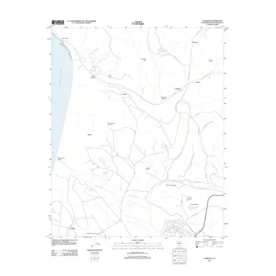
(308)- 2012 Map of Santa Rosa Island West, 2012 Print
 2012 Santa Rosa Island West2012 Print · USGSCovers Santa Barbara County, including United States, California, and other nearby areas
 - 2012 Map of Santa Rosa Island South, 2012 Print
 2012 Santa Rosa Island South2012 Print · USGSCovers Santa Barbara County, including United States, California, and other nearby areas
 - 2012 Map of Zaca Creek, 2012 Print
 2012 Zaca Creek2012 Print · USGSCovers Santa Barbara County, including Buellton, Barham Ranch, and other nearby areas
 - 2012 Map of Sisquoc, 2012 Print
 2012 Sisquoc2012 Print · USGSCovers Santa Barbara County, including Sisquoc, United States, and other nearby areas
 - 2012 Map of Lompoc Hills, 2012 Print
 2012 Lompoc Hills2012 Print · USGSCovers Santa Barbara County, including Lompoc, Jalama, and other nearby areas
 - 2012 Map of Santa Rosa Island North OE W, 2012 Print
 2012 Santa Rosa Island North OE W2012 Print · USGSCovers Santa Barbara County, including United States, California, and other nearby areas
 - 2012 Map of Point Sal, 2012 Print
 2012 Point Sal2012 Print · USGSCovers Santa Barbara County, including San Luis Obispo County, United States, and other nearby areas
 - 2012 Map of Orcutt, 2012 Print
 2012 Orcutt2012 Print · USGSCovers Santa Barbara County, including Orcutt, Bicknell, and other nearby areas
 - 2012 Map of Foxen Canyon, 2012 Print
 2012 Foxen Canyon2012 Print · USGSCovers Santa Barbara County, including United States, California, and other nearby areas
 - 2012 Map of Surf OE W, 2012 Print
 2012 Surf OE W2012 Print · USGSCovers Santa Barbara County, including United States, California, and other nearby areas
 - 2012 Map of Sacate, 2012 Print
 2012 Sacate2012 Print · USGSCovers Santa Barbara County, including United States, California, and other nearby areas
 - 2012 Map of San Miguel Island West, 2012 Print
 2012 San Miguel Island West2012 Print · USGSCovers Santa Barbara County, including United States, California, and other nearby areas
 - 2012 Map of Surf, 2012 Print
 2012 Surf2012 Print · USGSCovers Santa Barbara County, including Lompoc, Baroda, and other nearby areas
 - 2012 Map of Casmalia OE W, 2012 Print
 2012 Casmalia OE W2012 Print · USGSCovers Santa Barbara County, including United States, California, and other nearby areas
 - 2012 Map of Santa Rosa Island North, 2012 Print
 2012 Santa Rosa Island North2012 Print · USGSCovers Santa Barbara County, including United States, California, and other nearby areas
 - 2012 Map of Lompoc, 2012 Print
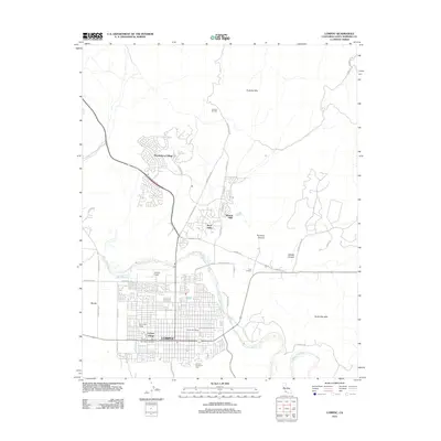 2012 Lompoc2012 Print · USGSCovers Santa Barbara County, including Lompoc, Lompoc, and other nearby areas
 - 2012 Map of Los Alamos, 2012 Print
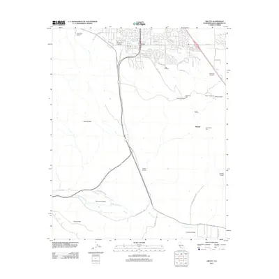
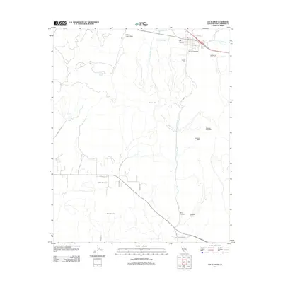 2012 Los Alamos2012 Print · USGSCovers Santa Barbara County, including La Purisima, Los Alamos, and other nearby areas
 - 2012 Map of Guadalupe, 2012 Print
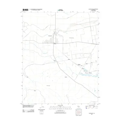 2012 Guadalupe2012 Print · USGSCovers Santa Barbara County, including Santa Maria, Guadalupe, and other nearby areas
 - 2012 Map of Point Conception, 2012 Print
 2012 Point Conception2012 Print · USGSCovers Santa Barbara County, including Concepcion, United States, and other nearby areas
 - 2012 Map of Twitchell Dam, 2012 Print
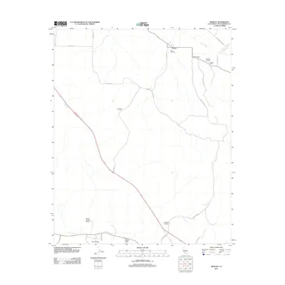
 2012 Twitchell Dam2012 Print · USGSCovers Santa Barbara County, including Santa Maria, Garey, and other nearby areas
 - 2012 Map of Point Arguello, 2012 Print
 2012 Point Arguello2012 Print · USGSCovers Santa Barbara County, including Arguello, Arlight, and other nearby areas
 - 2012 Map of Casmalia, 2012 Print
 2012 Casmalia2012 Print · USGSCovers Santa Barbara County, including Vandenberg AFB, Tangair, and other nearby areas
 - 2012 Map of San Miguel Island East, 2012 Print
 2012 San Miguel Island East2012 Print · USGSCovers Santa Barbara County, including United States, California, and other nearby areas
 - 2012 Map of Tranquillon Mountain, 2012 Print
 2012 Tranquillon Mountain2012 Print · USGSCovers Santa Barbara County, including United States, California, and other nearby areas
 - 2012 Map of Santa Rosa Hills, 2012 Print
 2012 Santa Rosa Hills2012 Print · USGSCovers Santa Barbara County, including United States, California, and other nearby areas
Showing maps 1-25 of 308
Top cities of Santa Barbara County
- Santa Maria historical maps
- Santa Barbara historical maps
- Lompoc historical maps
- Lompoc historical maps
- Orcutt historical maps
- Goleta historical maps
See more
Frequently asked questions
- What are the different types of historical maps available for Santa Barbara County?
- What is the oldest map of Santa Barbara County?
- Where can I purchase historical maps of Santa Barbara County for my home or office?
- Where can I download high-res historical maps of Santa Barbara County?
- Are there historical topographic maps available for Santa Barbara County?
- Is there historical aerial imagery available for Santa Barbara County?
- Where are historical maps of Santa Barbara County sourced from?