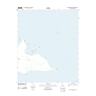
2012 Map of San Miguel Island East
USGS Topo · Published 2012About this map
San Miguel Island anchors the western edge of the Channel Islands in this 2012 survey, revealing a landscape shaped by the unforgiving environment of the Pacific Ocean. This map focuses on the eastern reaches of the island, where the interior is sparsely marked, most notably by the Ranch House Flagpole, a rare sign of human presence in this protected area. The coastline is dense with hazards and geographic features, from the shelter of Cuyler Harbor to the numerous offshore formations like Prince Island, Middle Rock, and Bat Rock.
Find a feature on this map
20 named features on this map. Tap any name to fly to it.
Don’t see what you’re looking for? This feature index may not catch every label — zoom into the map to look around manually.
Map Details
Editions of this 2012 San Miguel Island East Map
This is the sole edition of this map. No revisions or reprints were ever made.
Other maps of this area
1943 · Santa Rosa Island West
USGS Topo · 1:24,000
1943 · San Miguel Island West
USGS Topo · 1:24,000
1943 · San Miguel Island East
USGS Topo · 1:24,000

1948 · Santa Maria
USGS Topo · 1:250,000
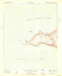
1950 · San Miguel Island West
USGS Topo · 1:24,000
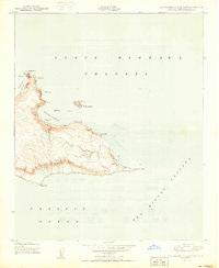
1950 · San Miguel Island East
USGS Topo · 1:24,000

1956 · Santa Maria
USGS Topo · 1:250,000

1957 · Santa Maria
USGS Topo · 1:250,000

1958 · Santa Maria
USGS Topo · 1:250,000

1962 · Santa Maria
USGS Topo · 1:250,000