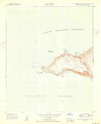
1950 Map of San Miguel Island West
USGS Topo · Published 1950About this map
The New San Miguel Latitude Station stands as a lonely point of precision on the high ground of Green Mountain, overseeing the western reaches of the Channel Islands just after World War II. Mapped by the Army Map Service using 1943 aerial photography, this survey documents the stark coastal geography where the Santa Barbara Channel meets the open Pacific Ocean.
Find a feature on this map
12 named features on this map. Tap any name to fly to it.
Don’t see what you’re looking for? This feature index may not catch every label — zoom into the map to look around manually.
Map Details
Editions of this 1950 San Miguel Island West Map
This is the sole edition of this map. No revisions or reprints were ever made.
Other maps of this area
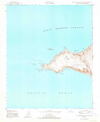
1943 · San Miguel Island West
USGS Topo · 1:24,000
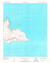
1943 · San Miguel Island East
USGS Topo · 1:24,000

1948 · Santa Maria
USGS Topo · 1:250,000
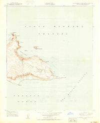
1950 · San Miguel Island East
USGS Topo · 1:24,000

1956 · Santa Maria
USGS Topo · 1:250,000

1957 · Santa Maria
USGS Topo · 1:250,000

1958 · Santa Maria
USGS Topo · 1:250,000

1962 · Santa Maria
USGS Topo · 1:250,000
1981 · Point Conception
USGS Topo · 1:100,000
1989 · Santa Maria
USGS Topo · 1:250,000