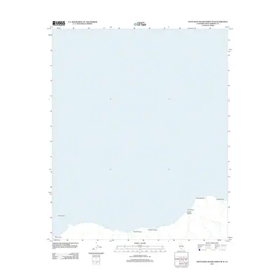
2012 Map of Santa Rosa Island North OE W
USGS Topo · Published 2012About this map
Sandy Point and Brockway Point define the northern coastline of Santa Rosa Island in this early 21st-century documentation. The landscape is characterized by its dramatic maritime topography, featuring the submerged Tacott Shoal just offshore and a series of deep drainage features including Arlington Canyon and Dry Canyon. The northern shoreline is etched with narrow valleys such as Cañada Tecolote, Cañada Soledad, and Cañada Verde, which speak to the complex erosion patterns and hydrologic history of this Channel Island setting. This survey by the U.S. Geological Survey details a largely undeveloped coastal environment where the interface of land and sea remains the primary focus.
Find a feature on this map
8 named features on this map. Tap any name to fly to it.
Don’t see what you’re looking for? This feature index may not catch every label — zoom into the map to look around manually.
Map Details
Editions of this 2012 Santa Rosa Island North OE W Map
This is the sole edition of this map. No revisions or reprints were ever made.
Other maps of this area
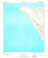
1943 · Santa Rosa Island West
USGS Topo · 1:24,000
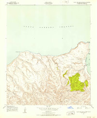
1943 · Santa Rosa Island North
USGS Topo · 1:24,000
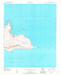
1943 · San Miguel Island East
USGS Topo · 1:24,000

1948 · Santa Maria
USGS Topo · 1:250,000
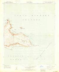
1950 · San Miguel Island East
USGS Topo · 1:24,000

1956 · Santa Maria
USGS Topo · 1:250,000

1957 · Santa Maria
USGS Topo · 1:250,000

1958 · Santa Maria
USGS Topo · 1:250,000

1962 · Santa Maria
USGS Topo · 1:250,000
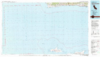
1981 · Point Conception
USGS Topo · 1:100,000