Old Maps of Vandenberg AFB, California for Genealogy
Trace your family roots with 19 historic maps of Vandenberg AFB. These high-res maps reveal old neighborhoods, homesites, landmarks, and streets — helping you uncover where your ancestors lived and how the area evolved over time.
- Explore historic neighborhoods: Identify where your relatives may have lived in the 1800s or 1900s.
- Compare maps over time: Trace the changes in streets, buildings, and landmarks for multi-generational research.
- Perfect for genealogy & ancestry research: Used by family historians and researchers to map out lineage and migration.
These maps are an incredible resource for exploring your personal connection to Vandenberg AFB's past.
Vandenberg AFB, CA maps
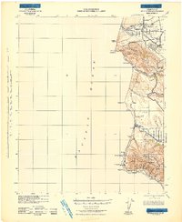
(19)- 1905 Map of Guadalupe
 1905 Guadalupe1905 Print · USGSThe Central California coast at the dawn of the century reveals a landscape shaped by the Southern Pacific R. R. and coastal trade. Genealogists and historians can trace rail-side settlements like Betteravia, Casmalia, and the old maritime Pt. Sal Landing.6 unique versions available
 - 1942 Map of Guadalupe
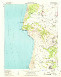
 1942 Guadalupe1942 Print · USGSThe Central Coast during the early war years reveals a landscape of coastal rail stations and ranching canyons along the Santa Barbara shore. Researchers can trace the Southern Pacific line through Surf and Honda to find vanished spurs and schools like Lynden Sch.
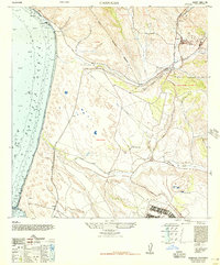
 - 1942 Map of Point Sal
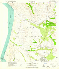
 1942 Point Sal1942 Print · USGSThe Santa Barbara coast during the early war years is shown here in high detail, from the river valley down to the Pacific cliffs. Genealogists and researchers can trace the rail settlements at Narlon, the rural community at Casmalia, and the local Bonita Sch.
 - 1947 Map of Casmalia
 1947 Casmalia1947 Print · USGSThe Santa Barbara coast at the end of the 1940s reveals a landscape of sprawling ranches and military holdings. Trace the coastal rail line through Schumann, the grounds of Marshallia Ranch, and the winding San Antonio Creek.2 unique versions available
 - 1947 Map of Point Sal, 1957 Print
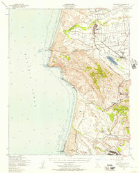 1947 Point Sal1957 Print · USGSCoastal Santa Barbara County is captured here in the late 1940s, a period of transition between wartime activity and post-war growth. Genealogists and historians can trace the rail-side life of Guadalupe, the agricultural roots of Betteravia, and the early footprint of Camp Cooke.2 unique versions available
 - 1948 Map of Santa Maria
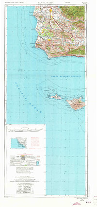
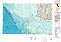
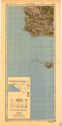 1948 Santa Maria1948 Print · USGSSanta Barbara County in the late 1940s reveals a landscape of coastal defense and valley agriculture. Genealogists and historians can trace the footprint of Camp Cooke Military Reservation or locate rural landmarks like Honda School and Betteravia.2 unique versions available
 - 1956 Map of Santa Maria, 1973 Print
 1956 Santa Maria1973 Print · USGSThe Central Coast landscape at the height of the Cold War reveals a mix of aerospace expansion and historic ranching towns. Trace the early footprint of Vandenberg AFB or locate coastal rail stops like Surf and the mission site at La Purisima Mission State Park.2 unique versions available
 - 1957 Map of Santa Maria
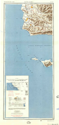 1957 Santa Maria1957 Print · USGSCoastal Santa Barbara County is captured here during the mid-fifties, showing a landscape defined by military installations and petroleum production. Researchers can trace the Southern Pacific rail line and locate rural landmarks like Honda School, Betteravia, and the John Manville Plant.
 - 1958 Map of Santa Maria
 1958 Santa Maria1958 Print · USGSThe Central Coast in the mid-fifties reveals a landscape shaped by military expansion and historic ranching towns. Researchers can trace the Southern Pacific railroad through Betteravia and Guadalupe, or explore the early layout of Camp Cooke Military Reservation.
 - 1959 Map of Casmalia, 1961 Print
 1959 Casmalia1961 Print · USGSCoastal Santa Barbara County is captured here at the dawn of the space age as military expansion reshapes the landscape. Researchers can trace the Southern Pacific rail line through historical stops like Tangair and Casmalia, or locate the Marshallia Ranch within the base boundaries.7 unique versions available
 - 1959 Map of Point Sal, 1961 Print
 1959 Point Sal1961 Print · USGSThe Santa Barbara coastline comes alive in the late fifties as a landscape of sugar beet processing, oil exploration, and military reach. Genealogists and historians can trace rail-side communities like Betteravia, family sites like Marshallia Ranch, and the isolated NTU Mine.2 unique versions available
 - 1962 Map of Santa Maria
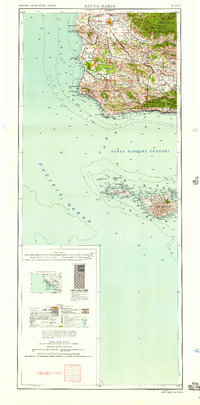
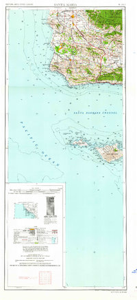 1962 Santa Maria1962 Print · USGSCoastal Santa Barbara County and its offshore islands are shown here during the early years of the Space Age. Researchers can trace the rail corridor of the Southern Pacific or locate local landmarks like Los Coches Mine and Solvang.
 - 1978 Map of Casmalia
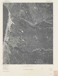 1978 Casmalia1978 Print · USGSCovers Vandenberg AFB, including Devon, Tangair, and other nearby areas
 - 1982 Map of Santa Maria, 1983 Print
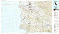 1982 Santa Maria1983 Print · USGSSanta Barbara County in the early eighties shows the expansion of the Central Coast, from the military grounds of the shoreline to the inland valleys. You can trace the Southern Pacific rail lines and locate landmarks like Betteravia, Los Alamos, and the La Purisima Mission State Historical Mon.2 unique versions available
 - 1989 Map of Santa Maria, 1991 Print
 1989 Santa Maria1991 Print · USGSThe Central Coast in the late eighties reveals a landscape of massive coastal installations and deep-rooted agricultural valleys. Genealogists and researchers can trace the Southern Pacific line through Guadalupe or locate landmarks like Betteravia and the La Purisima Mission State Historical Monument.
 - 2012 Map of Casmalia, 2012 Print
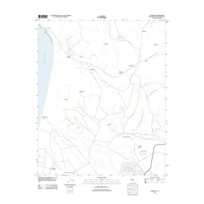 2012 Casmalia2012 Print · USGSCovers Vandenberg AFB, including Tangair, Shuman, and other nearby areas
 - 2015 Map of Casmalia, 2015 Print
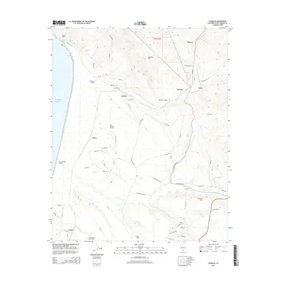 2015 Casmalia2015 Print · USGSCovers Vandenberg AFB, including Tangair, Shuman, and other nearby areas
 - 2018 Map of Casmalia, 2018 Print
 2018 Casmalia2018 Print · USGSCovers Vandenberg AFB, including Tangair, Shuman, and other nearby areas
 - 2021 Map of Casmalia, 2021 Print
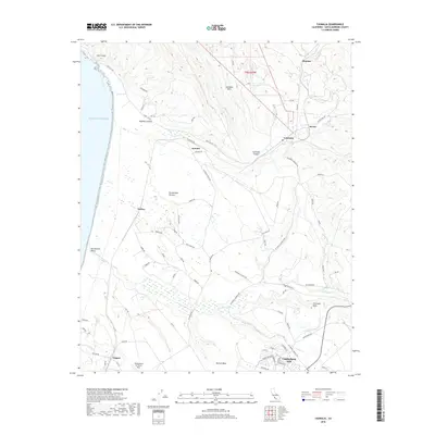
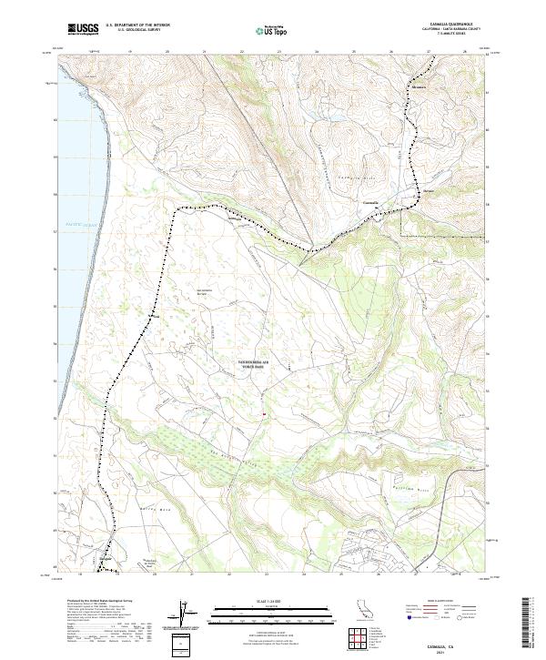 2021 Casmalia2021 Print · USGSThe coastal bluffs and interior valleys of northern Santa Barbara County are seen here in the early twenty-first century. Researchers can trace military boundaries at Vandenberg Air Force Base and find local outposts like Casmalia, Narlon, and Tangair.
End of results
Showing maps 1-19 of 19
Top cities near Vandenberg AFB
- Santa Maria historical maps
- Lompoc historical maps
- Lompoc historical maps
- Orcutt historical maps
- Vandenberg Village historical maps
- Guadalupe historical maps
Frequently asked questions
- What are the different types of historical maps available for Vandenberg AFB?
- What is the oldest map of Vandenberg AFB?
- Where can I purchase historical maps of Vandenberg AFB for my home or office?
- Where can I download high-res historical maps of Vandenberg AFB?
- Are there historical topographic maps available for Vandenberg AFB?
- Is there historical aerial imagery available for Vandenberg AFB?
- Where are historical maps of Vandenberg AFB sourced from?