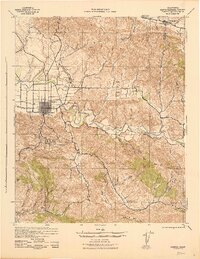
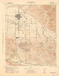
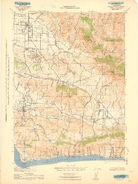
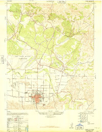
1959 Map of Casmalia
USGS Topo · Published 1961About this map
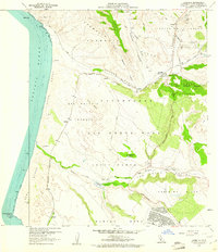
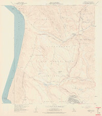
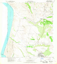
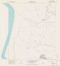
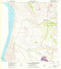
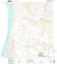
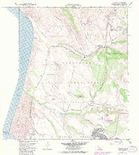
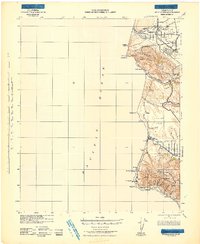
Vandenberg Air Force Base dominates the central coastal landscape of this late 1950s survey, a period when the facility was rapidly expanding its footprint across the San Antonio Terrace. The map illustrates a transitional era where traditional coastal ranching, evidenced by the Marshallia Ranch, met the strategic industrial needs of the Cold War. Along the Southern Pacific railroad line, small stop-points like Tangair, Narlon, and Antonio are clearly marked, tracing a transportation corridor that served both the military installation and the local economy. To the north, the Casmalia Hills rise above the town of Casmalia, where an Oil Field and the Airox Mine signify the region's extractive industry. The natural geography is defined by the shifting Sand Dunes near Purisima Point and the drainage of San Antonio Creek, which cuts through the Jesus Maria and Purisima Hills towards the coast.
Find a feature on this map
44 named features on this map. Tap any name to fly to it.
Don’t see what you’re looking for? This feature index may not catch every label — zoom into the map to look around manually.
Map Details
Editions of this 1959 Casmalia Map
7 editions found
Other maps of this area

1905 · Guadalupe
USGS Topo · 1:125,000

1905 · Lompoc
USGS Topo · 1:125,000

1942 · Point Arguello
USGS Topo · 1:62,500
1942 · Guadalupe
USGS Topo · 1:125,000

1942 · Lompoc
USGS Topo · 1:125,000
1942 · Lompoc
USGS Topo · 1:62,500
1942 · Santa Maria
USGS Topo · 1:62,500

1942 · Point Sal
USGS Topo · 1:62,500
1943 · Lompoc
USGS Topo · 1:125,000
1947 · Lompoc
USGS Topo · 1:24,000