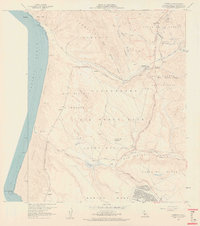
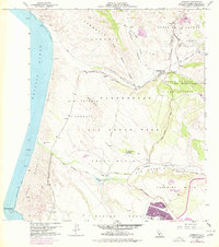
1959 Map of Casmalia
USGS Topo · Published 1961About this map
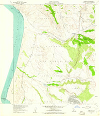
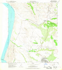
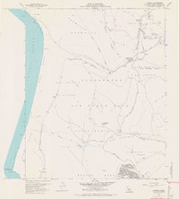
Vandenberg Air Force Base dominates the coastal landscape of northwestern Santa Barbara County in this late 1950s survey, illustrating the transformation of ranching lands into a strategic military installation. The Southern Pacific railroad cuts through the center of the sheet, connecting several small stops and settlements including Casmalia, Devon, Antonio, and Narlon. The terrain is characterized by the massive Sand Dunes and the San Antonio Terrace, which rise above the Pacific Ocean near Purisima Point.
Find a feature on this map
39 named features on this map. Tap any name to fly to it.
Don’t see what you’re looking for? This feature index may not catch every label — zoom into the map to look around manually.
Map Details
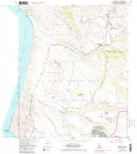
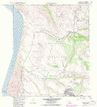
Editions of this 1959 Casmalia Map
7 editions found
Other maps of this area

1905 · Guadalupe
USGS Topo · 1:125,000

1905 · Lompoc
USGS Topo · 1:125,000

1942 · Point Arguello
USGS Topo · 1:62,500

1942 · Guadalupe
USGS Topo · 1:125,000

1942 · Lompoc
USGS Topo · 1:125,000

1942 · Lompoc
USGS Topo · 1:62,500

1942 · Santa Maria
USGS Topo · 1:62,500

1942 · Point Sal
USGS Topo · 1:62,500

1943 · Lompoc
USGS Topo · 1:125,000

1947 · Lompoc
USGS Topo · 1:24,000