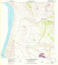
1959 Map of Casmalia
USGS Topo · Published 1977About this map
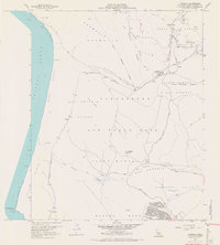
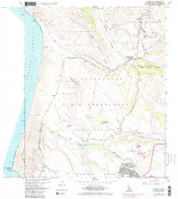
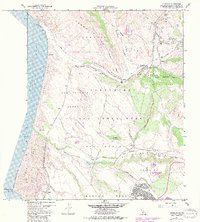
Vandenberg Air Force Base dominates the central coastal landscape of Santa Barbara County in this mid-century survey, illustrating a massive military footprint over the historic Rancho Jesus Maria and Rancho San Antonio lands. The topography is defined by the heavy industry of the Casmalia Oil Field and the Airox Mine to the northeast, while the Southern Pacific rail line cuts through the Sand Dunes and coastal terrace. Small railway stops and ranching outposts like Schumann, Antonio, and Tangair represent the rural infrastructure supporting the region before suburban expansion. To the south, the San Antonio Creek meanders through the San Antonio Valley toward Purisima Point, providing a glimpse into the natural drainage patterns and land-grant boundaries that shaped the Santa Maria area's development.
Find a feature on this map
32 named features on this map. Tap any name to fly to it.
Don’t see what you’re looking for? This feature index may not catch every label — zoom into the map to look around manually.
Map Details
Editions of this 1959 Casmalia Map
7 editions found
Other maps of this area

1905 · Guadalupe
USGS Topo · 1:125,000

1905 · Lompoc
USGS Topo · 1:125,000

1942 · Point Arguello
USGS Topo · 1:62,500

1942 · Guadalupe
USGS Topo · 1:125,000

1942 · Lompoc
USGS Topo · 1:125,000

1942 · Lompoc
USGS Topo · 1:62,500

1942 · Santa Maria
USGS Topo · 1:62,500

1942 · Point Sal
USGS Topo · 1:62,500

1943 · Lompoc
USGS Topo · 1:125,000

1947 · Lompoc
USGS Topo · 1:24,000