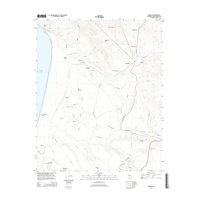
2015 Map of Casmalia
USGS Topo · Published 2015About this map
Vandenberg Air Force Base occupies a significant portion of the coastal landscape in this 2015 survey, where military operations meet the undulating terrain of northern Santa Barbara County. The map details the transition from the high ridges of the Casmalia Hills and Purisima Hills down to the sea-level expanses of the San Antonio Terrace and Burton Mesa. Small settlements and naming points like Casmalia, Shuman, and Devon are interspersed among a dense network of ranch and access roads, such as Point Sal Rd and W Lompoc Casmalia Rd. The drainage of San Antonio Cr carves through the central valley, defining the geography between the hills and the Pacific Ocean. This modern record illustrates the specialized infrastructure required for the aerospace mission of the base while preserving the names of the region's earlier ranching and railway history at locations like Antonio and Narlon.
Find a feature on this map
70 named features on this map. Tap any name to fly to it.
Don’t see what you’re looking for? This feature index may not catch every label — zoom into the map to look around manually.
Map Details
Editions of this 2015 Casmalia Map
This is the sole edition of this map. No revisions or reprints were ever made.
Other maps of this area

1905 · Guadalupe
USGS Topo · 1:125,000

1905 · Lompoc
USGS Topo · 1:125,000

1942 · Point Arguello
USGS Topo · 1:62,500

1942 · Guadalupe
USGS Topo · 1:125,000

1942 · Lompoc
USGS Topo · 1:125,000

1942 · Lompoc
USGS Topo · 1:62,500

1942 · Santa Maria
USGS Topo · 1:62,500

1942 · Point Sal
USGS Topo · 1:62,500

1943 · Lompoc
USGS Topo · 1:125,000

1947 · Lompoc
USGS Topo · 1:24,000