2000s (21st Century) Maps of Shingletown, California
Explore 19 historic maps of Shingletown from the 2000s (21st Century). These maps offer a rare glimpse into what life looked like during the 2000s — showing old roads, neighborhoods, homes, and landmarks that have changed or disappeared over time.
Whether you're researching your family's past, planning a metal detecting trip, or studying how Shingletown's landscape evolved across the 2000s, these high-resolution maps are a powerful tool for exploring the history of this region.
- Focus on a specific era: All maps on this page are from the 2000s, giving you a focused view of this time period.
- See what’s changed: Compare century-old streets, trails, and buildings to today's modern landscape using overlays and satellite layers.
- Research with precision: Use these maps for genealogy, historical research, land use analysis, or educational projects.
- View, download, or print: Maps are fully viewable online in high resolution, and can be downloaded or printed for your own records.
Start exploring Shingletown's history through authentic maps from the 2000s. This is your window into the past.
Shingletown, CA maps
(19)- 2012 Map of Inwood, 2012 Print
 2012 Inwood2012 Print · USGSCovers Shingletown, including Midway, Redwoods, and other nearby areas
 - 2012 Map of Hagaman Gulch, 2012 Print
 2012 Hagaman Gulch2012 Print · USGSCovers Shingletown, including Shasta County, United States, and other nearby areas
 - 2012 Map of Shingletown, 2012 Print
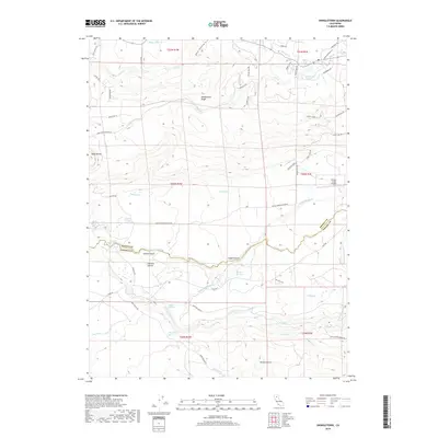
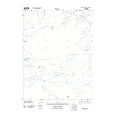 2012 Shingletown2012 Print · USGSCovers Shingletown, including Manton, Shasta County, and other nearby areas
 - 2012 Map of Manton, 2012 Print
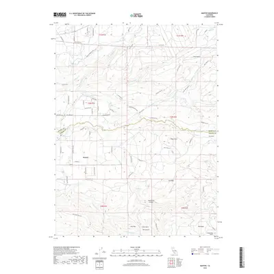
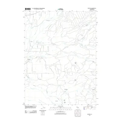 2012 Manton2012 Print · USGSCovers Shingletown, including Manton, Shasta County, and other nearby areas
 - 2015 Map of Inwood, 2015 Print
 2015 Inwood2015 Print · USGSCovers Shingletown, including Midway, Redwoods, and other nearby areas
 - 2015 Map of Manton, 2015 Print
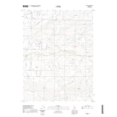
 2015 Manton2015 Print · USGSCovers Shingletown, including Manton, Shasta County, and other nearby areas
 - 2015 Map of Shingletown, 2015 Print
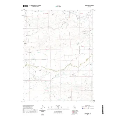
 2015 Shingletown2015 Print · USGSCovers Shingletown, including Manton, Shasta County, and other nearby areas
 - 2015 Map of Hagaman Gulch, 2015 Print
 2015 Hagaman Gulch2015 Print · USGSCovers Shingletown, including Shasta County, United States, and other nearby areas
 - 2018 Map of Shingletown, 2018 Print
 2018 Shingletown2018 Print · USGSCovers Shingletown, including Manton, Shasta County, and other nearby areas
 - 2018 Map of Hagaman Gulch, 2018 Print
 2018 Hagaman Gulch2018 Print · USGSCovers Shingletown, including Shasta County, United States, and other nearby areas
 - 2018 Map of Inwood, 2018 Print
 2018 Inwood2018 Print · USGSCovers Shingletown, including Midway, Redwoods, and other nearby areas
 - 2018 Map of Manton, 2018 Print
 2018 Manton2018 Print · USGSCovers Shingletown, including Manton, Shasta County, and other nearby areas
 - 2021 Map of Shingletown, 2021 Print
 2021 Shingletown2021 Print · USGSCovers Shingletown, including Manton, Shasta County, and other nearby areas
 - 2021 Map of Manton, 2021 Print
 2021 Manton2021 Print · USGSCovers Shingletown, including Manton, Shasta County, and other nearby areas
 - 2022 Map of Hagaman Gulch, 2022 Print
 2022 Hagaman Gulch2022 Print · USGSCovers Shingletown, including Shasta County, United States, and other nearby areas
 - 2022 Map of Inwood, 2022 Print
 2022 Inwood2022 Print · USGSShasta County’s western slope comes into focus in this recent survey, capturing the rural character of the Whitmore and Inwood communities. Researchers can trace family ranch lands via Hufford Ranch Rd or locate the Inwood Cem near Bear Creek Falls.
 - 2023 Map of Shingletown, 2023 Print
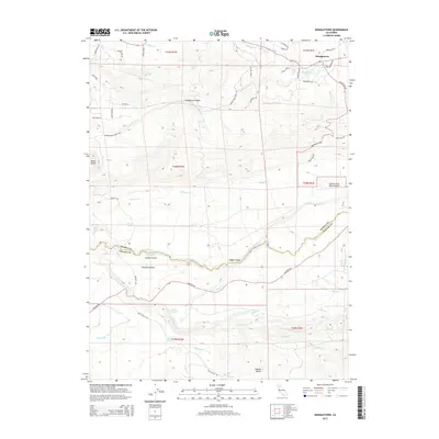
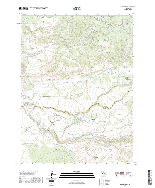 2023 Shingletown2023 Print · USGSShingletown and Manton sit on the edge of the volcanic highlands at the Shasta and Tehama county line in this contemporary survey. Genealogists and locals can trace the complex water systems of Wildcat Ditch and family landmarks like Darrah Springs.
 - 2023 Map of Hagaman Gulch, 2023 Print
 2023 Hagaman Gulch2023 Print · USGSShingletown and the surrounding Shasta County uplands are documented here in the early twenty-first century, showing a mix of residential growth and historic routes. Trace the path of the Emigrant Trl and explore local landmarks like Chalk Mtn or McCumber Flat.
 - 2023 Map of Manton, 2023 Print
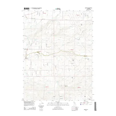
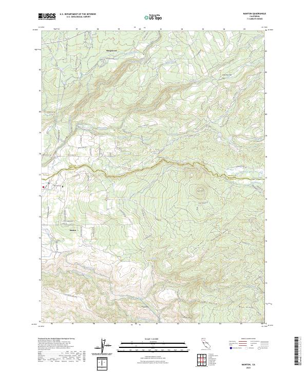 2023 Manton2023 Print · USGSThe Shasta and Tehama county line comes into focus in this recent survey of the Sierra foothills. Researchers can trace historic water routes like the Union Canal and Keswick Ditch or locate family sites near Manton Cem and Shingletown.
End of results
Showing maps 1-19 of 19
Top cities near Shingletown
Frequently asked questions
- What are the different types of historical maps available for Shingletown?
- What is the oldest map of Shingletown?
- Where can I purchase historical maps of Shingletown for my home or office?
- Where can I download high-res historical maps of Shingletown?
- Are there historical topographic maps available for Shingletown?
- Is there historical aerial imagery available for Shingletown?
- Where are historical maps of Shingletown sourced from?