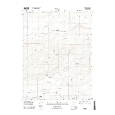
2015 Map of Inwood
USGS Topo · Published 2015About this map
Inwood and Midway sit at the center of this 2015 geographical study of Shasta County, where the transition from foothill canyons to higher peaks is marked by a complex system of creek drainages. The landscape is defined by the carved paths of Bear Cr and N Fork Bear Cr, which create dramatic landforms like Bear Creek Canyon and the surrounding Bear Creek Ridge. These waterways are central to the area's identity, highlighted by the location of Inwood Falls and the secluded basin of Pine Basin.
Find a feature on this map
63 named features on this map. Tap any name to fly to it.
Don’t see what you’re looking for? This feature index may not catch every label — zoom into the map to look around manually.
Map Details
Editions of this 2015 Inwood Map
This is the sole edition of this map. No revisions or reprints were ever made.
Other maps of this area

1886 · Lassen Peak
USGS Topo · 1:250,000

1890 · Red Bluff
USGS Topo · 1:250,000

1892 · Lassen Peak
USGS Topo · 1:250,000

1894 · Lassen Peak
USGS Topo · 1:250,000

1894 · Red Bluff
USGS Topo · 1:250,000

1901 · Redding
USGS Topo · 1:125,000

1935 · Burney
USGS Topo · 1:96,000

1935 · Paynes Creek
USGS Topo · 1:96,000

1939 · Burney
USGS Topo · 1:125,000

1941 · Mineral
USGS Topo · 1:125,000